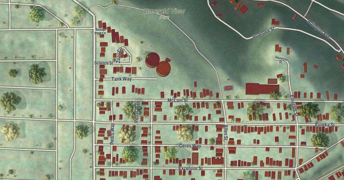
If you grew up on East Warrington Avenue, or your family still has a house off Arlington Avenue, this map is your hilltop. It's a modern aerial view of Allentown, a Pittsburgh neighborhood in Allegheny County, Pennsylvania, made from modern data and given a vintage look. Red buildings fill the blocks in the middle of the sheet. Above them, a wooded slope marked Emerald View Park drops toward a strip of blue river at the top.
East Warrington Avenue, Arlington Avenue and Knoxville on the Map
On this map you'll find East Warrington Avenue, Arlington Avenue, Beltzhoover Avenue, Knox Avenue, Emerald View Park, Knoxville, Excelsior Street, Climax Street, Industry Street, Eureka Street, Allen Street, Saint Martin Street, Zuzu Circle, and more. Each red shape is a building, so zoom in on the preview and look for yours.
How Allentown Borough Became Part of Pittsburgh
Allentown and Beltzhoover were once part of the same borough. The 1889 History of Allegheny County tells how. In 1869, land was split off from Lower St. Clair to form part of Allentown borough. Later, a portion of Allentown borough joined the city of Pittsburgh. The part left behind went back to the township. Part of the old borough became Beltzhoover Borough on June 9, 1875.
The same book lists the old boroughs next to their city ward numbers. Allentown is there as the Thirty-first ward, with Mount Washington as the Thirty-second. It also says a church had started a mission at Allentown and built a chapel there. The Beltzhoover name is on this map too, on Beltzhoover Avenue.
Allentown and Emerald View Park on Your Wall
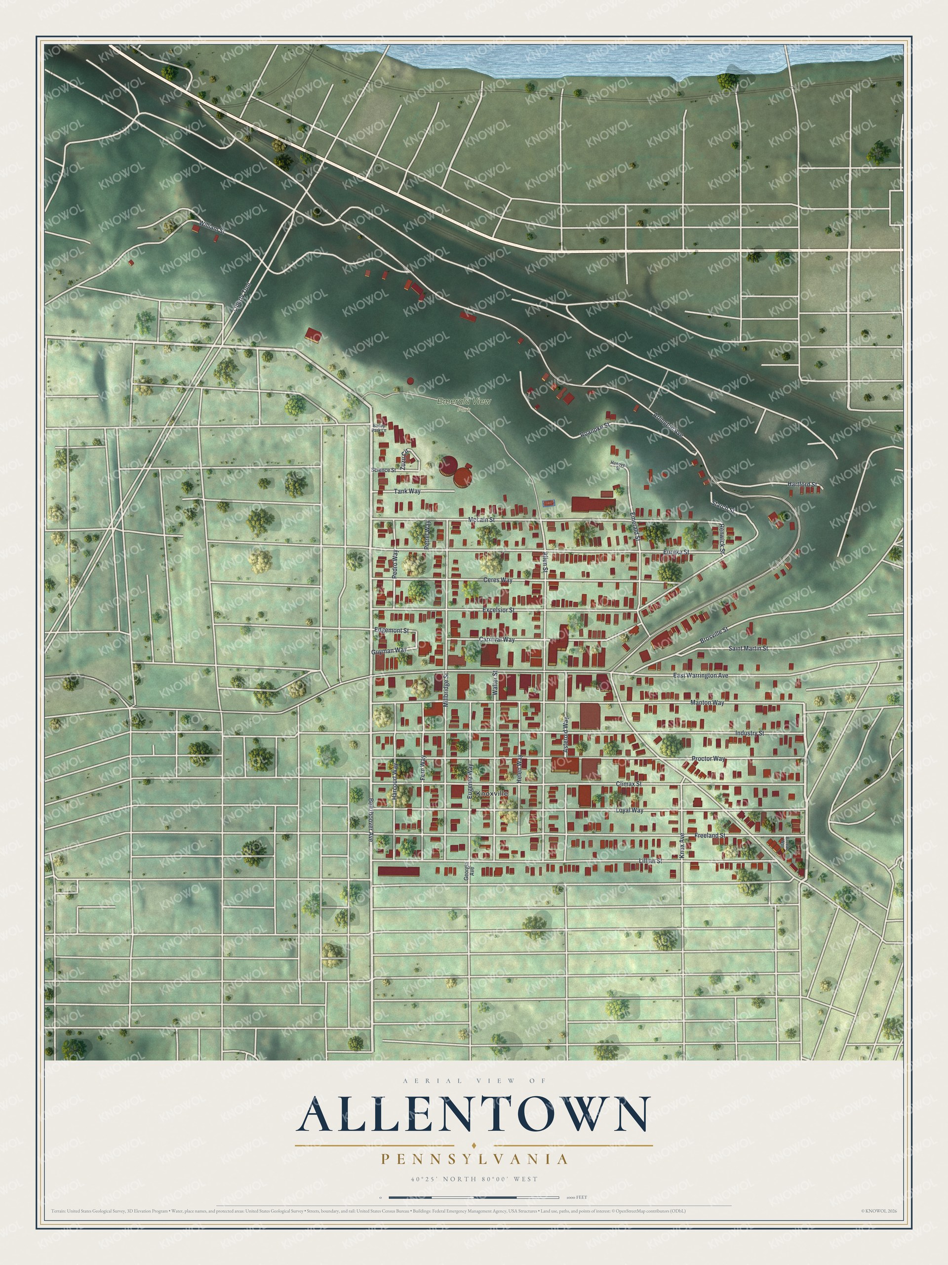
Created by KNOWOL in 2026, this print shows Allentown from above in soft greens, with red buildings, white streets and shaded hills. A band of blue water runs across the top edge. The title panel reads "Aerial View of Allentown, Pennsylvania" with the line 40°25' North 80°00' West.
It fits a front hall, a kitchen or a home office. It's a good gift for someone who grew up near Emerald View Park and moved away, or for a family that's lived in Allentown for years. Open the preview and zoom in on your block. See sizes and frames for the Allentown map.