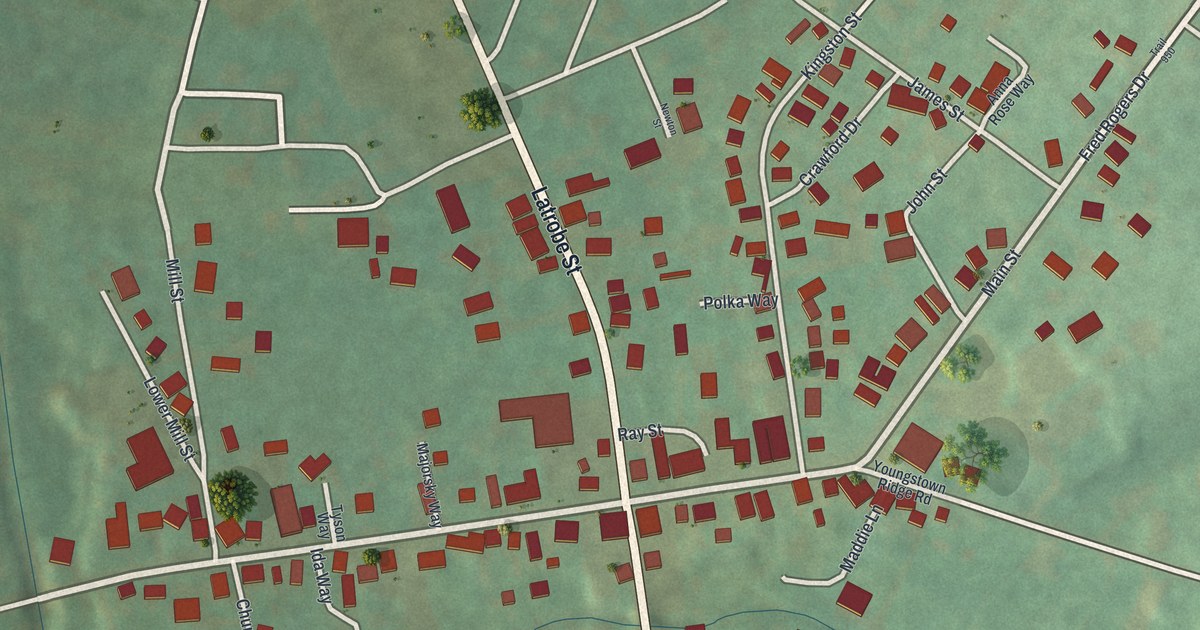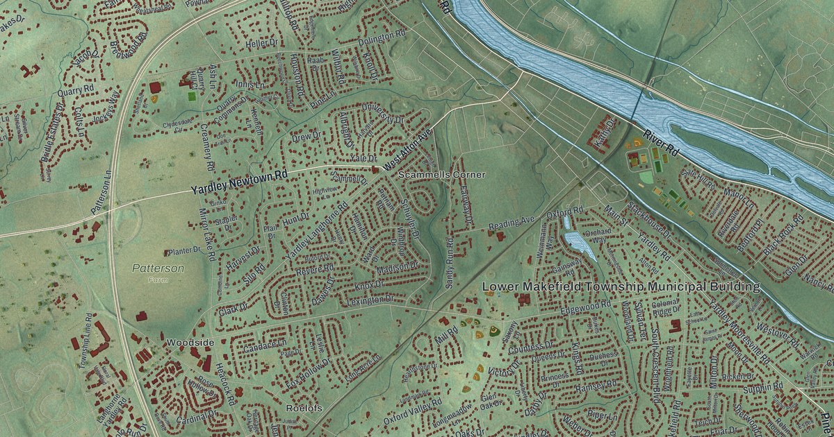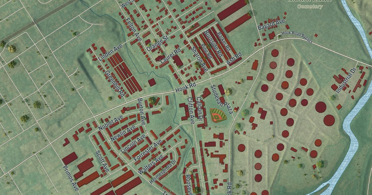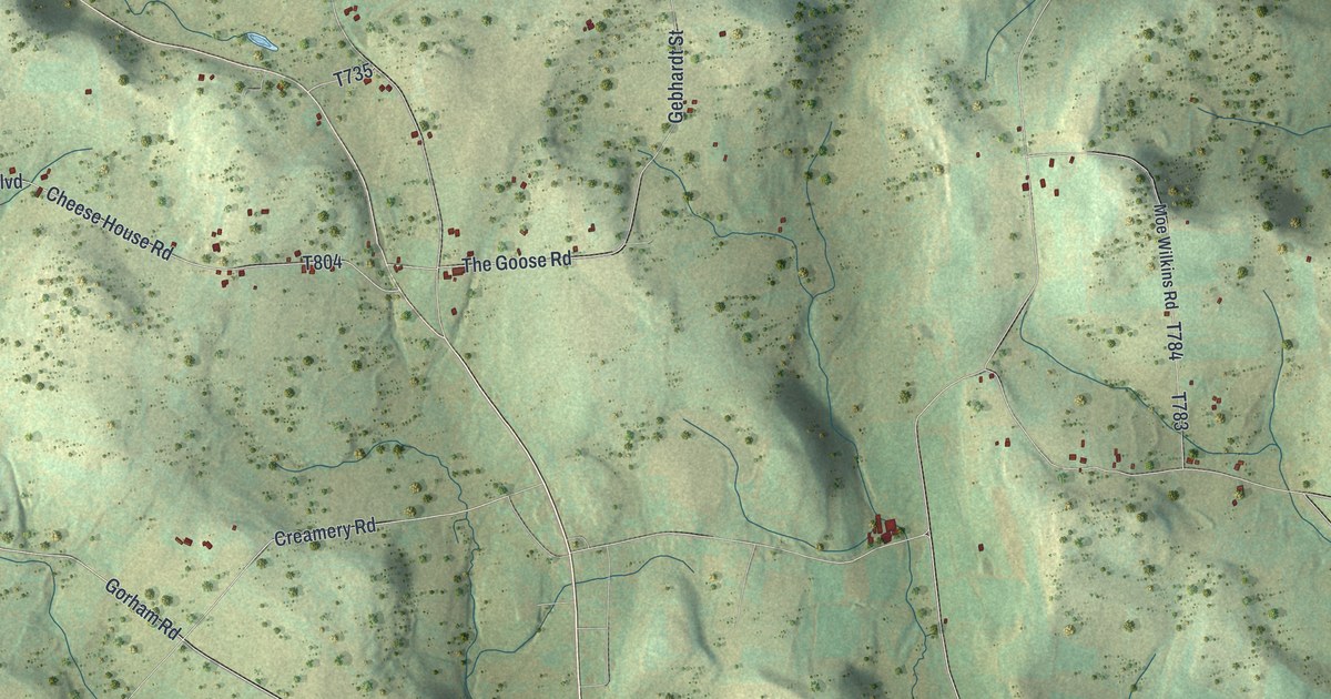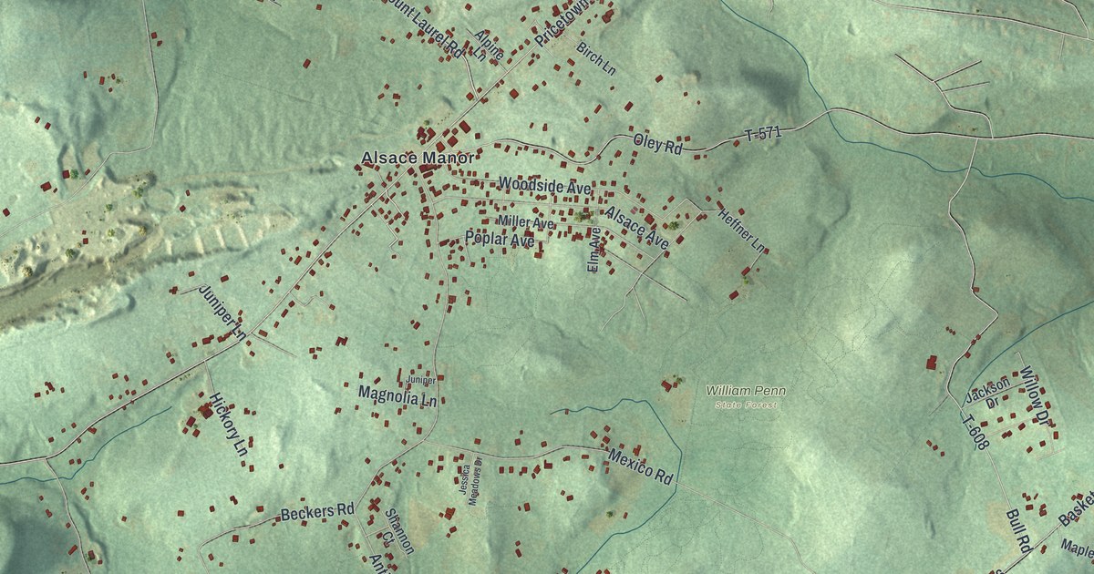
If you grew up in Alsace, these roads may lead straight to home. This modern aerial view of Alsace in Berks County, Pennsylvania pairs modern data with a vintage feel. Green hills rise around Alsace Manor and Basket. Small red buildings trace the roads between them.
Alsace Manor and Basket
On this map you'll find Pricetown Road, Mount Laurel Road, Antietam Road, Alsace Manor, Basket, Five Points, Friedensburg Road, Basket Road, Spies Church Road, Oley Road, Woodside Avenue, Skyline Drive, and more. Each red shape is a building, so zoom in on the preview and look for yours.
Alsace's land records reach back nearly three centuries. The 1886 History of Berks County records a 1735 land grant to Edward Farmer. It covered 375 acres beside the Schuylkill and bore the name Poplar Neck. The book places it in the township's lower section at that time. Today's view gives you another way to know the land: the green ridges, scattered buildings, and familiar names around Alsace Manor.
Keep Alsace Manor close to home
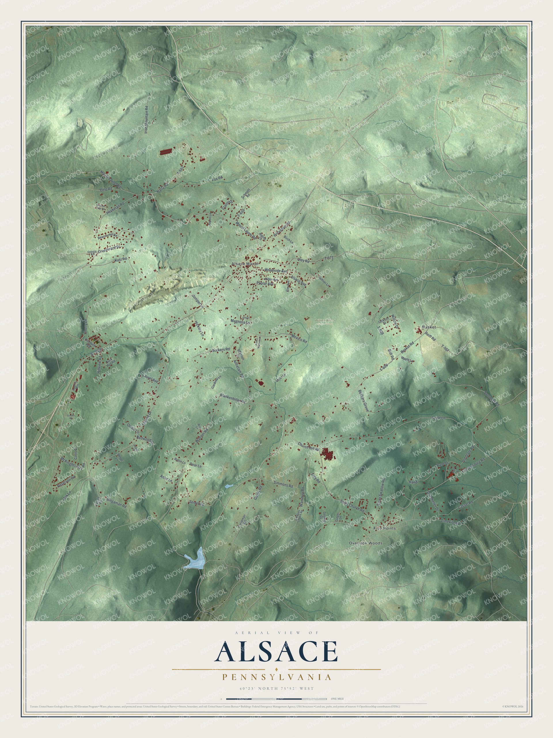
Created by KNOWOL in 2026, the print uses soft green terrain, red buildings, and fine road lines. A cream border surrounds the view. The title panel reads AERIAL VIEW OF, ALSACE, PENNSYLVANIA, with 40°23' NORTH 75°52' WEST below.
Hang it in a living room, office, or entryway. It's a thoughtful gift for someone with family in Alsace Manor or Basket. Open the preview and take a closer look at the roads you know. See sizes and frames for the Alsace map.