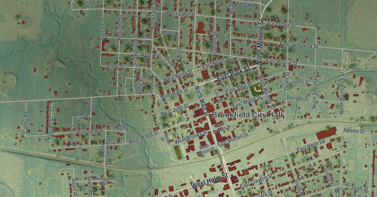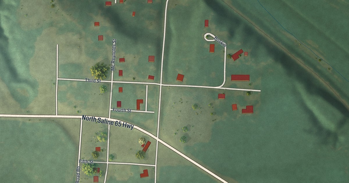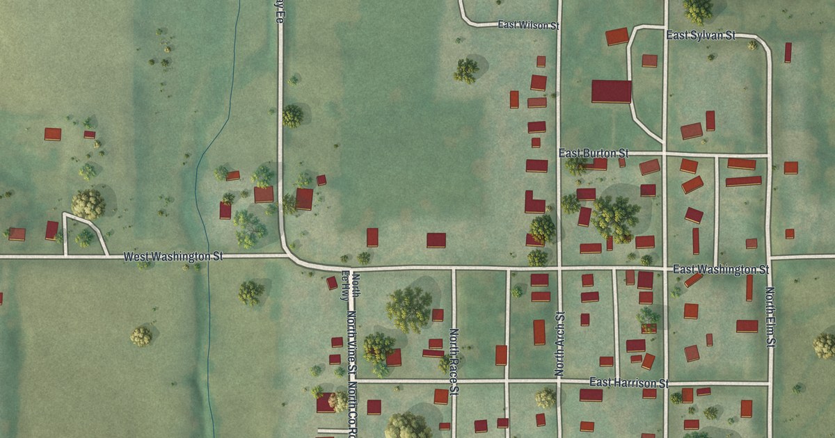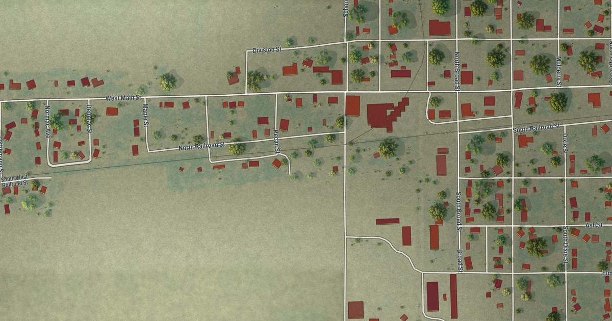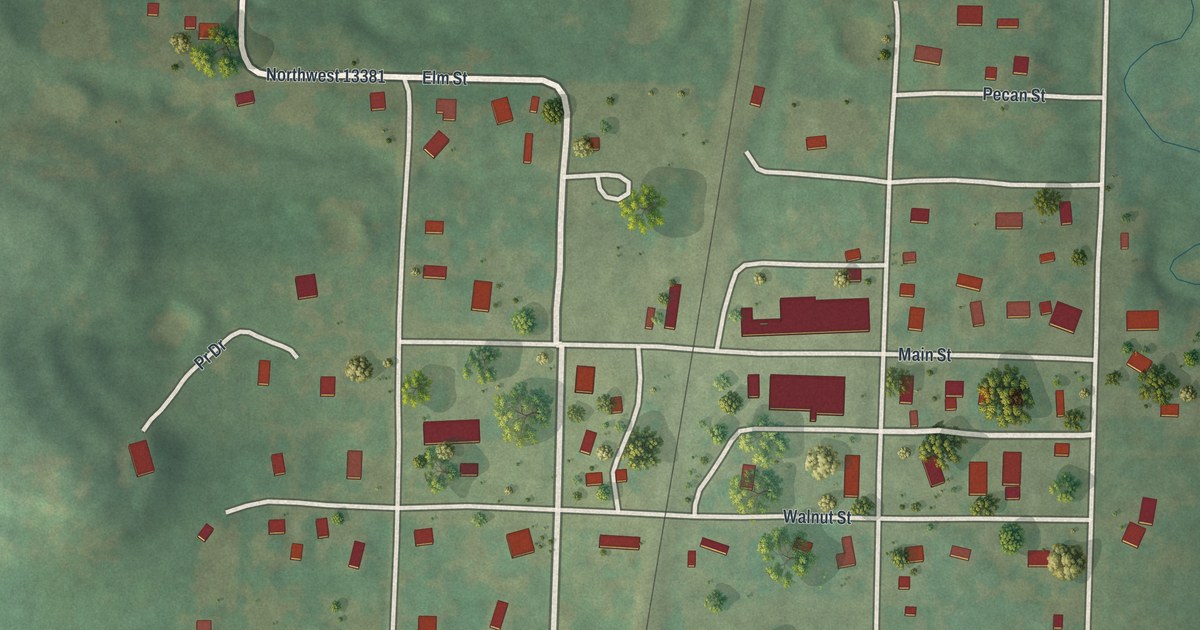
If you grew up in Amsterdam, or have family who lived near Main Street or Walnut Street, this map puts the whole town on one sheet. It's a modern aerial view of Amsterdam, a small city in Bates County, Missouri, made from modern data with a vintage feel. A straight rail line runs from top to bottom through the middle. The town's red buildings gather on both sides of it, with green farm country all around and a winding creek off to the east.
Main Street, Walnut Street and the rail line through Amsterdam
Start in the center of town, where Main Street and Walnut Street cross the rail line and head east. Some of the biggest red buildings in town sit along Main Street, just east of the rail line. Go north from there and you'll reach Pecan Street. Go south and you'll reach Oak Street. Benton Street runs south from the middle of town toward the bottom of the sheet.
Now cross back to the west side of the rail line. Look for the labels Northwest 13381 and Elm St side by side just west of the tracks. Elm Street heads south from there. Pine Street sits at the lower end of that little grid, and a curving street printed Pr Dr bends off to the west. High Street runs down the left side to the bottom of the sheet. Back on the east side of the rail line and farther south, Park Drive curves away from the tracks. Near the bottom, a short street printed Rodeo sits just west of Benton Street. Up top, one road runs across most of the sheet. It's printed North St west of the rail line and Northwest 9002 east of it. Many of the roads are labeled, and each red shape is a building, so zoom in on the preview and look for yours.
How Amsterdam was laid out on the railroad in 1891
Amsterdam got its start in 1891. That's when the Amsterdam Town Company laid out the town, with C. A. Emerson as its manager. It was in the west part of West Point Township, right on the railroad. The Old Settlers' History of Bates County, printed in 1900, gives the details. The post office was first called Burrows, after the first postmaster. The station went by yet another name. The railroad company had no stake in the land, and the town wasn't started with a boom. The book says it grew slowly but steadily. By 1900 it called Amsterdam one of the best shipping points on the line. The same book says Amsterdam had its own newspaper, the Border Breezes, published by S. L. Tathwell since 1894. Look for the straight rail line running through the middle of the sheet. Main Street and Walnut Street cross it in the center of town. The Census Bureau counted 218 people in Amsterdam in 2020.
For anyone who knows Benton Street and Pecan Street
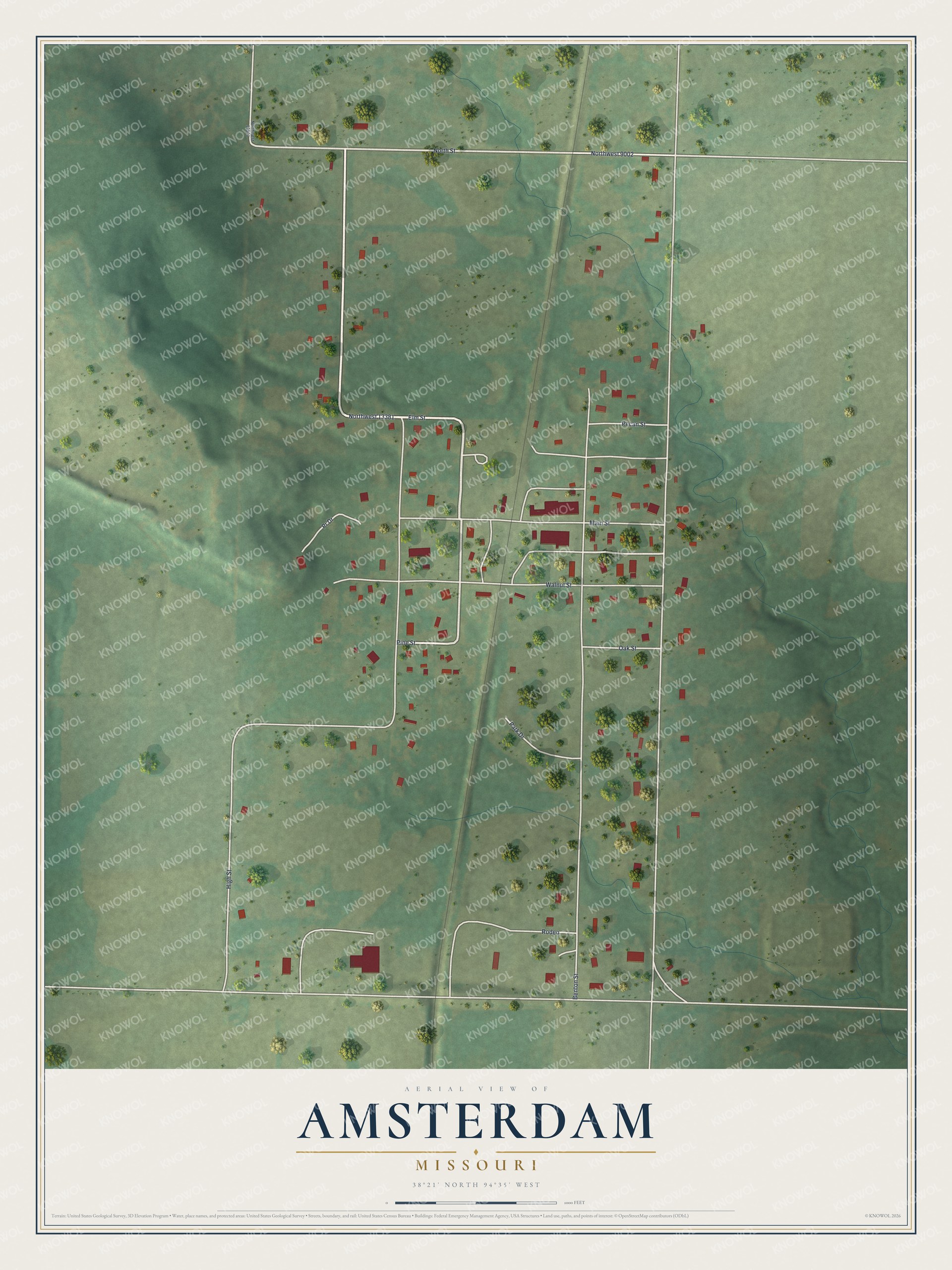
Created by KNOWOL in 2026, this Amsterdam map shows the town's streets and red buildings on soft green farmland. The low hills and the creek valley are shaded from USGS elevation data. The street lines come from Census Bureau records. The title panel reads "Aerial View of Amsterdam, Missouri" and gives 38°21' North, 94°35' West below the name.
It fits a kitchen, a front hall or a farm office. It's a good gift for someone who grew up near Main Street and moved away, or for a family with roots in Bates County. Open the preview, zoom in and find the house you know. See sizes and frames for the Amsterdam map.