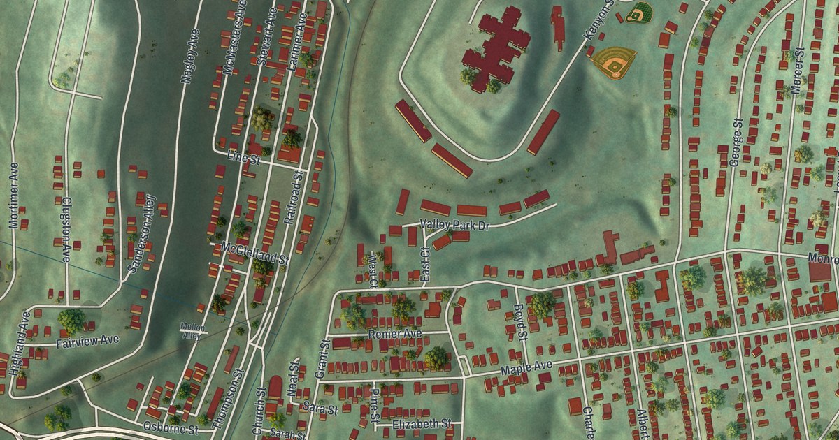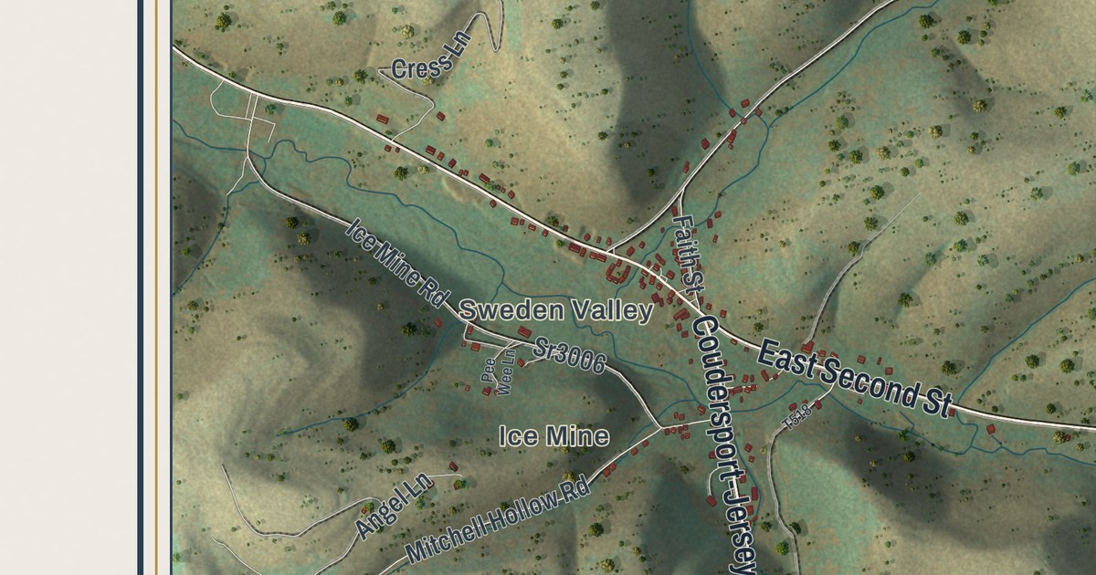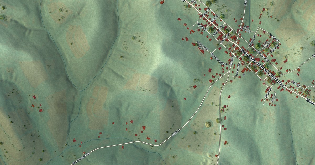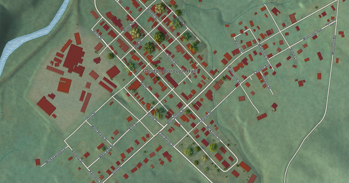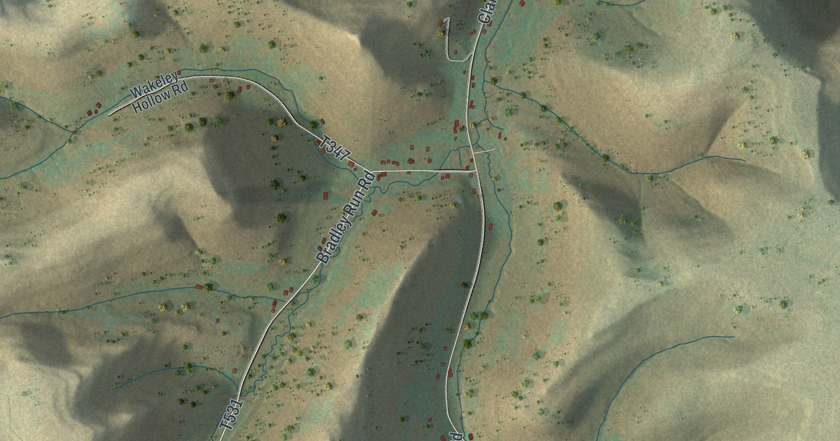
If you grew up in Clara Township, hunt State Game Lands Number 59, or have family out along Clara Road, this map shows your home hollow by hollow. It's Clara Township in Potter County, Pennsylvania, in an aerial view built from modern data and given a vintage look. Deep hollows cut into the hills from every side, the ridges are shaded in tan and moss green, and nearly 400 buildings are marked in red along the valley roads.
Clara Road, Bradley Run Road and Durward
Start at the top edge, on the right-hand side, where Clara Road comes in from the north. Canada Hollow Road and Camp Road sit off to the west, near the top of the sheet. A little way down, Clara Road bends to the southwest. Past that turn, Moffit Road runs south from Clara Road. In the middle of the sheet, Sperl Hollow Road forks off it to the south, and Moffit Road bends southeast. Back on the main road, Clara Road continues southwest as Bradley Run Road, printed T531 further down. Fisk Hollow Road comes down from the northwest past the State Game Lands Number 59 label, and both roads reach the valley floor near the bottom center. Below that junction, West Branch Fishing Creek Road follows the valley southwest to Durward, near the bottom left. Becker Hollow Road branches east along the way, and East Branch Fishing Creek Road has its own valley in the lower right. Many of the hollow roads are named on the sheet, and each red mark is a building. Zoom in on the preview and look for your house or camp.
Reuben Clark's trout breakfast on Bradley Run
Bradley Run Road comes with a good story. Shelden Bradley moved into Clara Township in the early 1830s, and when it was time to raise his house, Reuben Clark went over from Eulalia to help. According to a county history printed in 1890, Clark brought his dinner along but ended up staying the night. For breakfast he caught trout in the stream and roasted them over an open fire. By 1890 that stream was known as Bradley Run.
The same history says the township went by the name Milton in 1828. It also mentions Rodney L. Nichols, who lived near the north corners of Clara and Hebron and worked as agent for the landowners. He had the carriage Daniel Webster used. It was sold a few years before 1890 and was said to belong to a farmer on Eleven Mile Creek.
See all of Clara Township up close
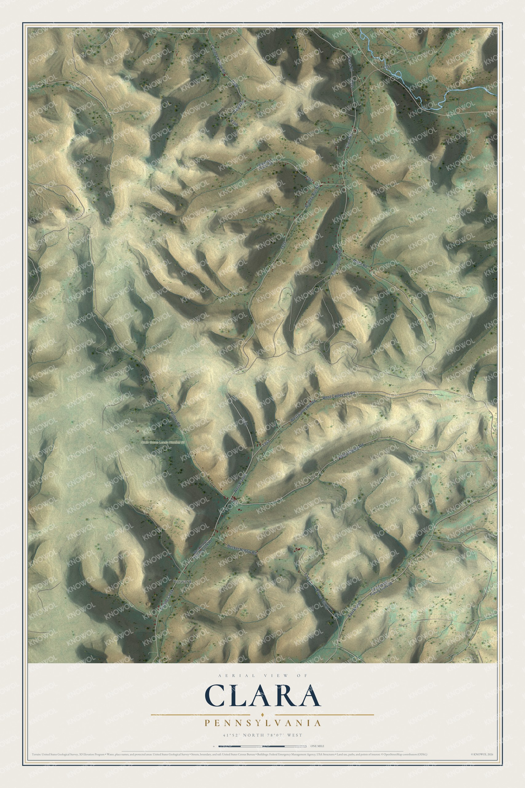
Created by KNOWOL in 2026, this map of Clara suits a cabin, a den or an office wall. USGS elevation data gives the hollows their shape, and the road lines come from the Census Bureau. The title panel reads "Aerial View of Clara, Pennsylvania," with the coordinates 41°52' North, 78°07' West and a one-mile scale bar.
It makes a good gift for someone who grew up in Clara Township and moved away, or who still comes back to hunt these hollows every season. Open the preview, zoom in and find your road. See sizes and frames for the Clara map.