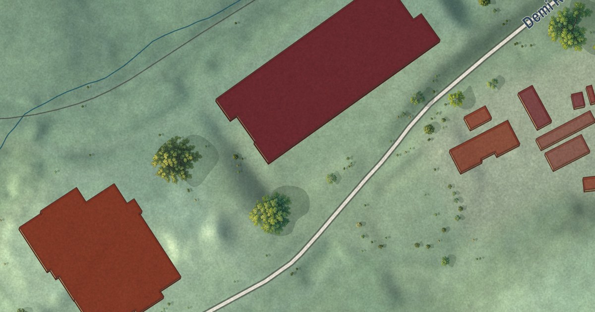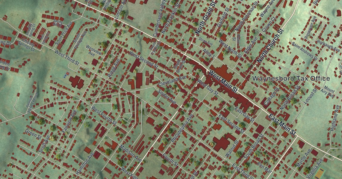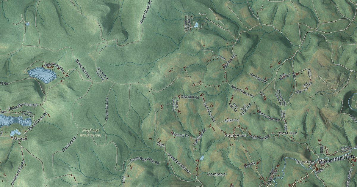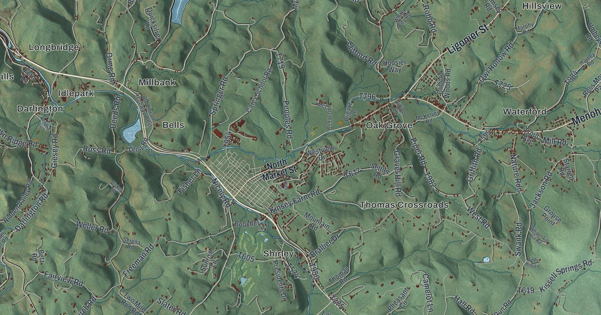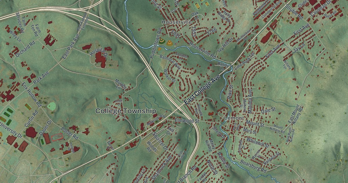
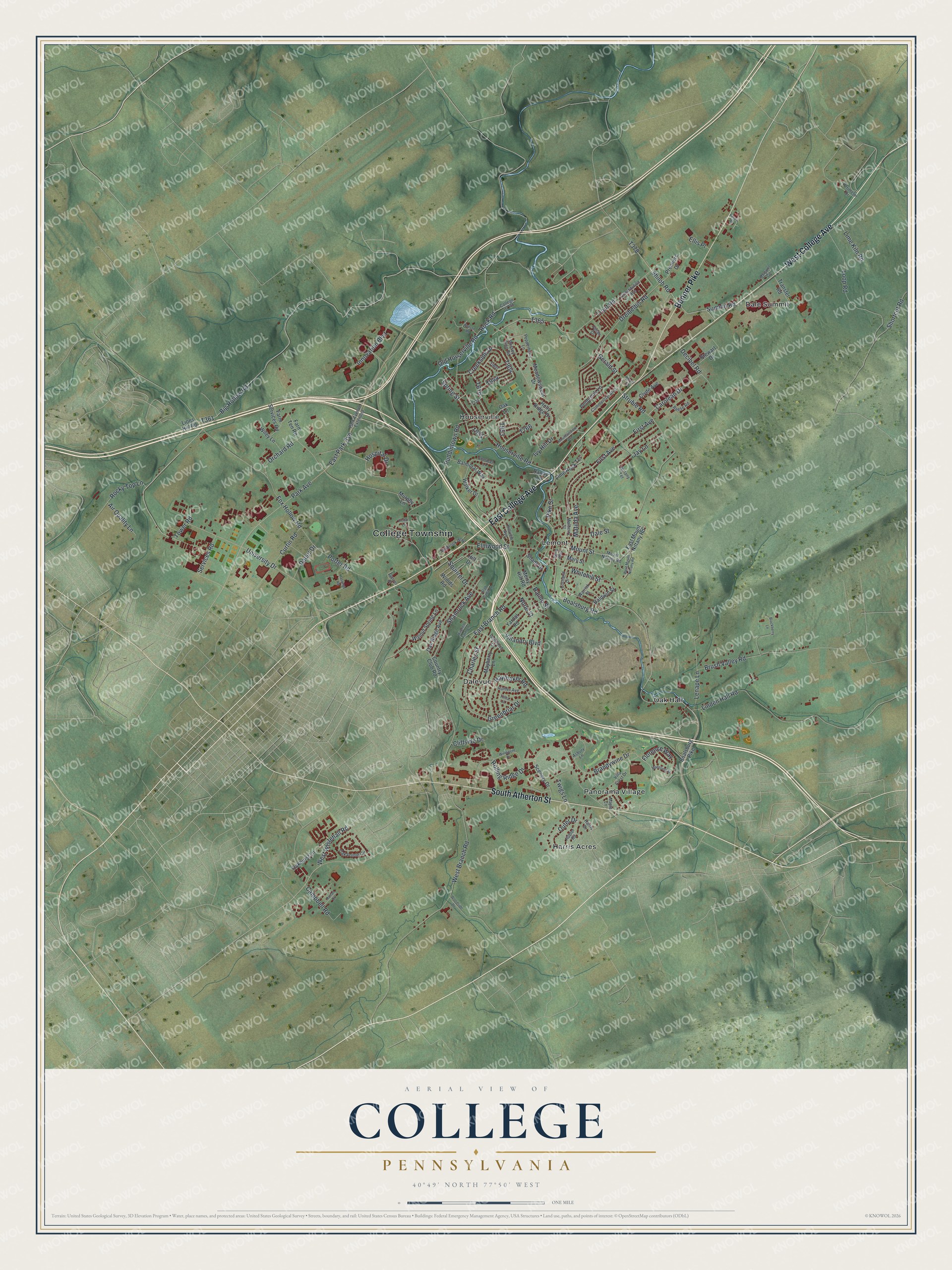
This beautifully detailed map of College, Pennsylvania was created in 2026 using aerial imagery combined with modern topographical, census, street and landmark data. It’s a one-of-a-kind view of College that combines accurate data with a vintage aesthetic. The map shows every building in its true location, many of the roads carry their names, and the shaded topographic relief shows the shape of the land.
Explore an aerial view of College, Pennsylvania
On the map you’ll find Dale Summit, Dalevue, Harris Acres, Houserville, Lemont, Oak Hall, and Panorama Village, along with East College Avenue, West College Avenue, South Atherton Street, Benner Pike, and more. If you look closely you can even find your house accurately drawn in its correct location. Zoom in on the preview to look for yours.
Did you know this piece of College, Pennsylvania history?
A German pioneer named Dale settled at the end of Nittany Mountain in 1790. That land is now College Township. In 1796, he built a gristmill and a sawmill there. He died in July 1805, at age 72, and was buried on the hill behind Lemont. That’s from the 1898 Commemorative Biographical Record.
Take a closer look at the College map
Street and place names on the College, Pennsylvania map
These names are printed on the map of College, Pennsylvania.
Places: College Township, Dale Summit, Dalevue, Harris Acres, Houserville, Lemont, Oak Hall and Panorama Village.
Streets and roads: East College Avenue, West College Avenue, South Atherton Street, Benner Pike, Boalsburg Road, East Park Avenue, Park Avenue, Pike Street, Gerald Street, Houserville Road, Trout Road, Rock Road.
More street names, A to Z
Aberdeen Lane, Air Quality Lane, Asbury Lane, Baldwin Street, Balmoral Way, Big Hollow Road, Blackberry Lane, Boalsburg Pike, Brandywine Drive, Brush Valley Road, Campbell Road, Carolean Drive, Cedar Lane, Charles Street, Cliffside Drive, Clyde Avenue, College 07 Road, Commercial Boulevard, Constitution Avenue, Cortland Drive, Country Club Road, Creekside Drive, Curtin Road, Dale Street, Dauer Drive, Decibel Road, Dreibelbis Road, East Branch Road, East Mount Nittany Road, Ellis Place, Elmwood Street, Farm Services Road, Farm Ten Road, First Avenue, Florence Way, Fox Hollow Road, Garver Place, Goldfinch Drive, Greenbriar Drive, Harris Alley, Harris Drive, Hastings Road, Haymaker Road, Hill Drive, Hillview Avenue, Holly Ridge Drive, Hospital Drive, Hubler Road, Hunter Avenue, Innovation Boulevard, Ivy Hill Drive, Jay Lane, Julian Drive, Lenape Lane, Lime Kiln Road, Lime Rock Terrace, Linden Hall Road, Lions Hill Road, Loop Road, Mansfield Street, Maple Lane, Margaret Circle, Mary Street, Matilda Avenue, Mayberry Lane, Meadowsweet Drive, Merry Hill Road, Millbrook Way, Mitchell Farm Lane, Mossey Glen Road, Mountainview Avenue, Mount Nittany Road, Mount Street, Mulberry Street, Murphy Lane, Nittany Terrace, Norle Street, Oakhurst Lane, Oak Lane, Oak Pointe Circle, Oak Ridge Avenue, Old Houserville Road, Orchard Road, Outer Drive, Park Avenue Extended, Penbrook Lane, Pepperberry Lane, Perimeter Drive, Persia Road, Porter Road, Premiere Drive, Puddintown Road, Rainlo Street, Randy Lane, Reese Road, Rocky Top Lane, Rolling Ridge Drive, Ronan Drive, Scenery Drive, Services Road, Shady Drive, Shamrock Avenue, Shiloh Road, Shortcut Road, Short Street, Slab Cabin Lane, Spring Street, Squirrel Drive, Stewart Drive, Struble Road, Summit Road, Tower Road, Transfer Road, Tulira Lane, Twigs Lane, University Drive, Villa Crest Drive, Villandry Boulevard, Walker Drive, Walnut Spring Lane, Warrick Street, Watson Road, West Branch Road, West Mount Nittany Road, West Whitehall Road, Whitehill Street, Wiley Lane, Windmere Drive, Woodside Drive, Woods Road, Yardal Road.
See the College, Pennsylvania map on a wall
The College map as an 18 x 24 inch print in a black frame.

This beautifully detailed map of College makes an attractive addition to your office, library, or den, and it can even be used to teach children the geography and history of the area. It also makes a great gift for anyone with College roots. When you’re done exploring, click here to get your copy of the College map.