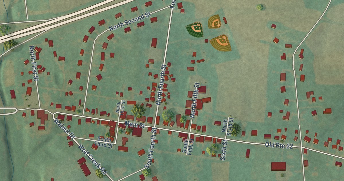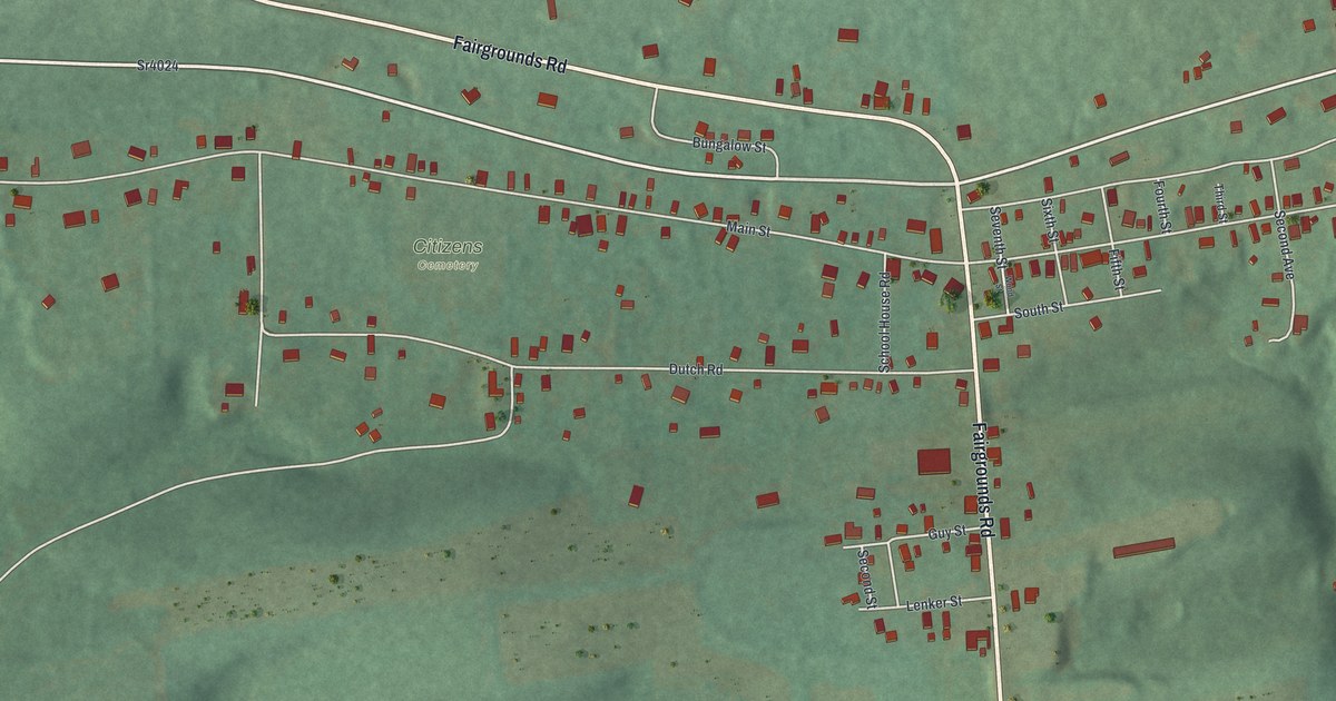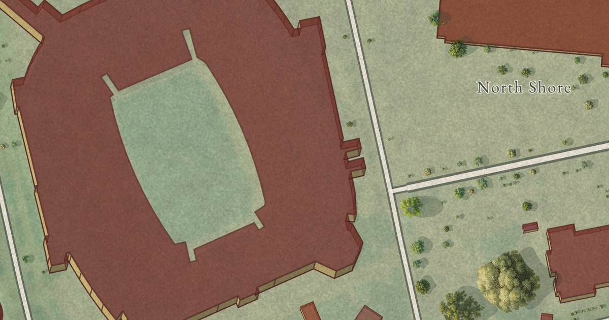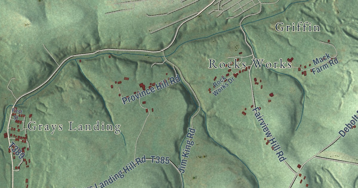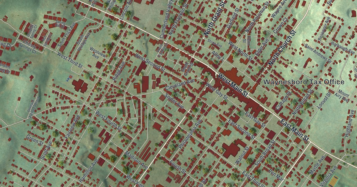
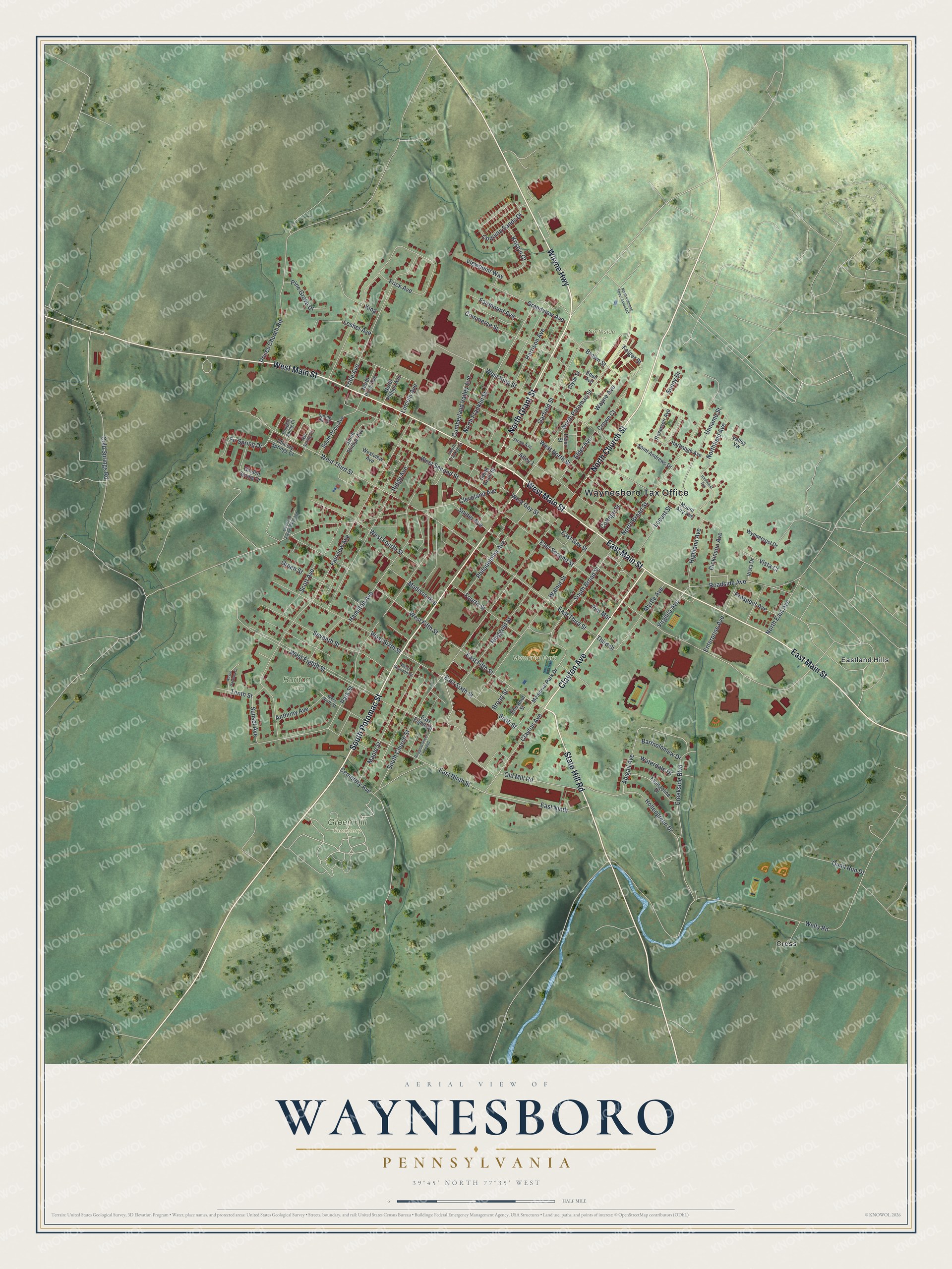
This beautifully detailed map of Waynesboro, Pennsylvania was created in 2026 using aerial imagery combined with modern topographical, census, street and landmark data. It’s a one-of-a-kind view of Waynesboro that combines accurate data with a vintage aesthetic. The map shows every building in its true location, many of the roads carry their names, and the shaded topographic relief shows the shape of the land.
Explore an aerial view of Waynesboro, Pennsylvania
On the map you’ll find Waynesboro Tax Office, Green Hill Cemetery, Memorial Park, Northside Park, Ruritan Park, Cress, and Eastland Hills, along with North Church Street, Wayne Highway, South Potomac Street, North Grant Street, East Main Street, and more. If you look closely you can even find your house accurately drawn in its correct location. Zoom in on the preview to look for yours.
Did you know this about Waynesboro, Pennsylvania?
From Data.pa.gov: "The one-and-a-half story structure that stands about 100 yards north of here is one of the oldest buildings in Waynesboro."
Take a closer look at the Waynesboro map
Street and place names on the Waynesboro, Pennsylvania map
These names are printed on the map of Waynesboro, Pennsylvania.
Places: Waynesboro Tax Office, Green Hill Cemetery, Memorial Park, Northside Park, Ruritan Park, Cress and Eastland Hills.
Streets and roads: North Church Street, Wayne Highway, South Potomac Street, North Grant Street, East Main Street, West Main Street, Clayton Avenue, State Hill Road, North Potomac Street, East Sixth Street, East Third Street, East Ninth.
More street names, A to Z
Abigail Avenue, Alley 1, Anthony Avenue, Ash Spring Court, Bartholomew Drive, Broad Street, Brown Street, Cemetery Avenue, Chestnut Street, Chicory Springs Court, Cleveland Avenue, Cleveland Avenue Extended, Clyde Street, Cold Springs Road, Commerce Street, Coquina Sands Drive, Cottage Street, Creekside Boulevard, Crown Court, Cumberland Valley Avenue, Dickinson Avenue, Douglas Spring Court, East Eighth Street, East Fifth Street, East Gay Street, East Ninth Street, East Second Street, Eden Avenue, Elder Avenue, Enterprise Avenue, Evangeline Drive, Fairmount Avenue, Fairview Avenue, Fir Spring Drive, Folger Street, Fourth Street, Frick Avenue, Garfield Street, Golden Spring Drive, Grandview Avenue, Green Street, Hamilton Avenue, Harbaugh Avenue, Harrison Avenue, Hawbaker Avenue, Highland Avenue, Hollengreen Drive, King, Kristyn Court, Lesher Avenue, Lincoln Avenue, Locust Street, Madison Avenue, Maple Street, Memorial Park Drive, Mount Airy Avenue, Myrtle Avenue, North Broad Street, North East Avenue, Northfield Avenue, North Franklin Street, North Phillips Avenue, North Potomac Street Extended, North Price Avenue, Old Mill Road, Park Street, Pen Mar, Penn Street, Philadelphia Avenue, Pine Grove Drive, Prices Church Road, Prospect Avenue, Quail Run Drive, Reservoir Avenue, Ridge Avenue, Ringgold Street, Ringgold Street Extended, Roadside Avenue, Saint Andrews Drive, Scott Avenue, Seventh Street, Sixth Street, Snider Avenue, South Broad Street, South Church Street, South Franklin Street, South Grant Street, South Phillips Avenue, South Price Avenue, Spring Hill Drive, Strine Avenue, Sunny Drive, Sunset Avenue, Tenth Street, Third Street, Tritle Avenue, Unname Street, Valley Vw, Viewpoint Way, Virginia Avenue, Vista Court, Vista Drive, Walnut Street, Waterdale Drive, Wayne Avenue, Wayne Gardens Court, Welty Road, West Eighth Street, West Fifth Street, West Fourth Street, West Gay Street, West King Street, West Ninth Street, West North Street, West Second Street, West Seventh Street, West Sixth Street, West Third Street, Westview Avenue, Wynnecrest Drive.
See the Waynesboro, Pennsylvania map on a wall
The Waynesboro map as an 18 x 24 inch print in a black frame.

This beautifully detailed map of Waynesboro makes an attractive addition to your office, library, or den, and it can even be used to teach children the geography and history of the area. It also makes a great gift for anyone who grew up in Waynesboro or moved away. When you’re done exploring, click here to get your copy of the Waynesboro map.