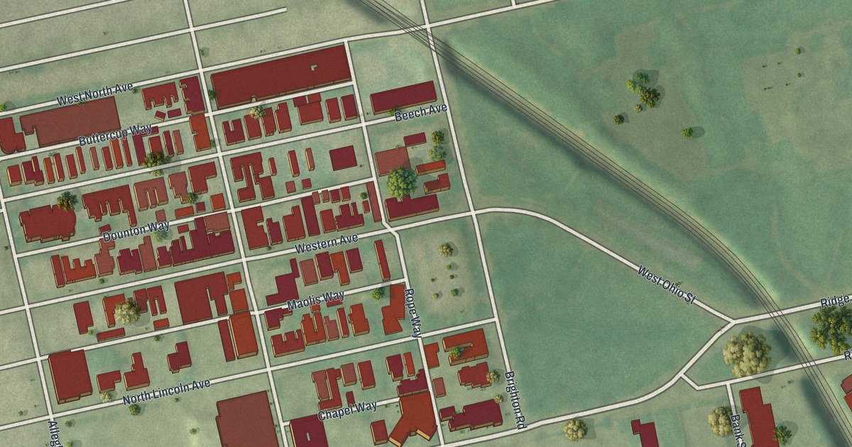
If you grew up on Western Avenue or still have family near Ridge Avenue, this map puts your block on the wall. It's a modern aerial view of Allegheny West in Pittsburgh, Allegheny County, Pennsylvania, made from modern data and given a vintage feel. Red buildings fill the blocks between West North Avenue and North Lincoln Avenue. A rail line cuts across from the upper left. Below the highway sits the North Shore, with a wide blue river along the bottom.
Mary Cassatt and the Corner of Ridge Avenue
On this map you'll find Ridge Avenue, Allegheny Avenue, Western Avenue, Beech Avenue, North Lincoln Avenue, West North Avenue, Galveston Avenue, Brighton Road, West Ohio Street, Reedsdale Street, Chapel Way, Bank Street, North Shore, and more. Each red shape is a building, so zoom in on the preview and look for yours.
A Pennsylvania state historical marker stands at Allegheny and Ridge avenues. It honors Mary Cassatt, who lived from 1844 to 1926. The marker says she was born near here. She studied art in Europe and made her home in Paris. There she became friends with the painter Degas. She worked as a painter, printmaker and etcher. She's best known for her pictures of women and children. On the map, find the spot where Ridge Avenue meets Allegheny Avenue. Her marker stands near that corner today.
The Ridge Avenue Houses on the National Register
Ridge Avenue has more to find. Two houses there are on the National Register of Historic Places. The William Penn Snyder House at 852 Ridge Avenue was listed in 1976. The Byers-Lyons House at 901 Ridge Avenue was listed in 1974. The Hoene-Werle House at 1313-1315 Allegheny Avenue joined them in 1984. Up on West North Avenue, the old Pittsburgh branch house of the International Harvester Company of America was listed in 2021.
From Ridge Avenue Down to the North Shore
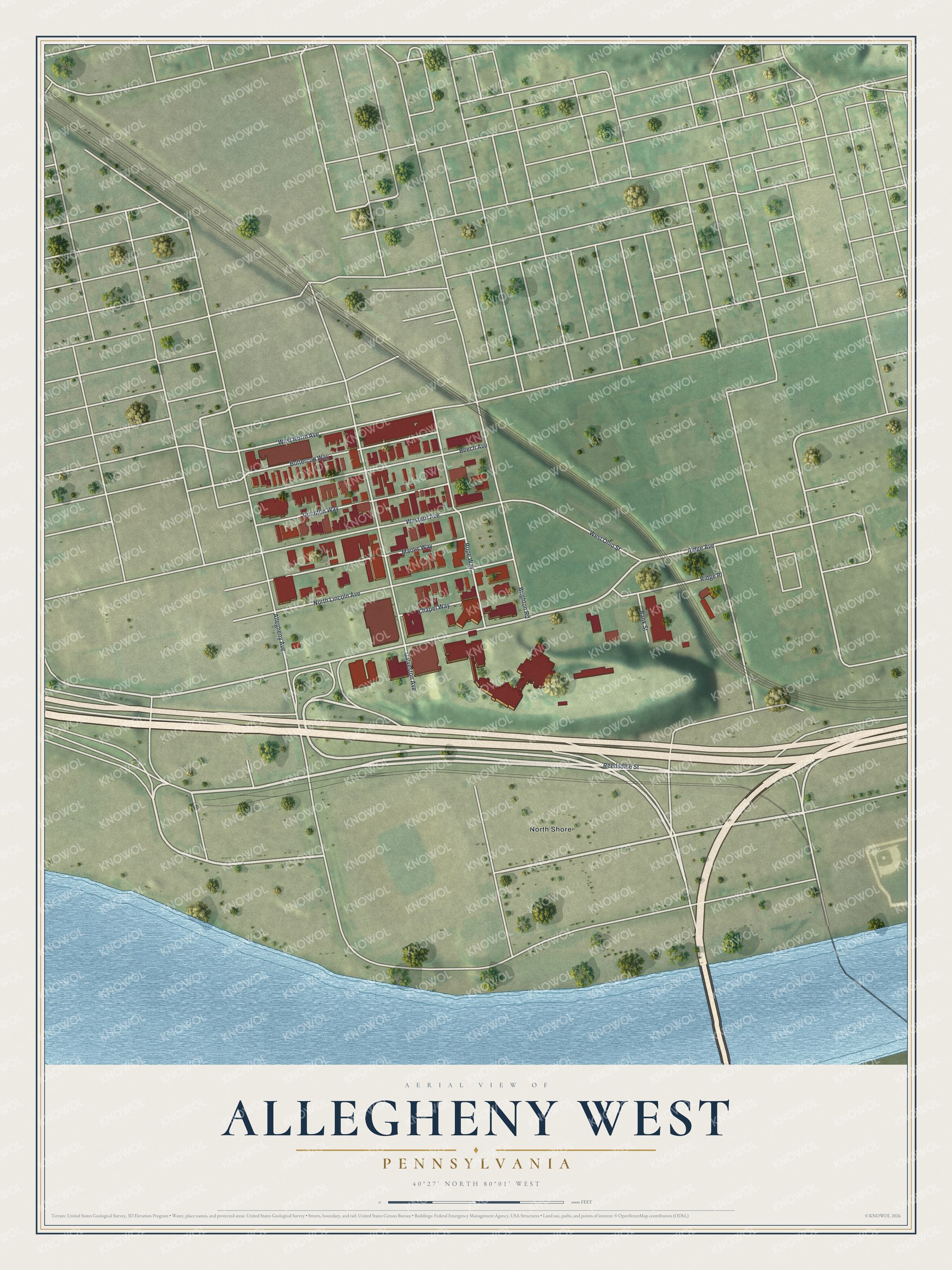
Created by KNOWOL in 2026, this print shows Allegheny West from above in soft greens, with its buildings in deep red and a blue river along the bottom. The title panel reads "Aerial View of Allegheny West, Pennsylvania" with the coordinates 40°27' North 80°01' West.
It fits a front hall, a home office or a living room wall. It's a good gift for someone who grew up near Ridge Avenue and moved away, or for a new neighbor on Western Avenue. Open the preview and zoom in to find your own street. See sizes and frames for the Allegheny West map.