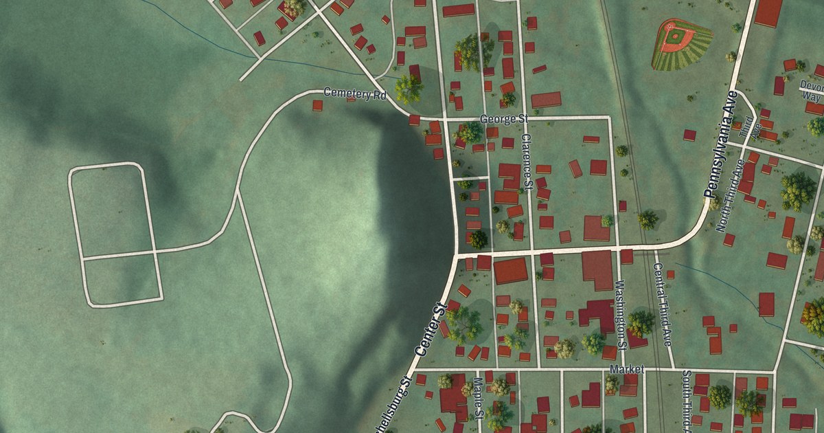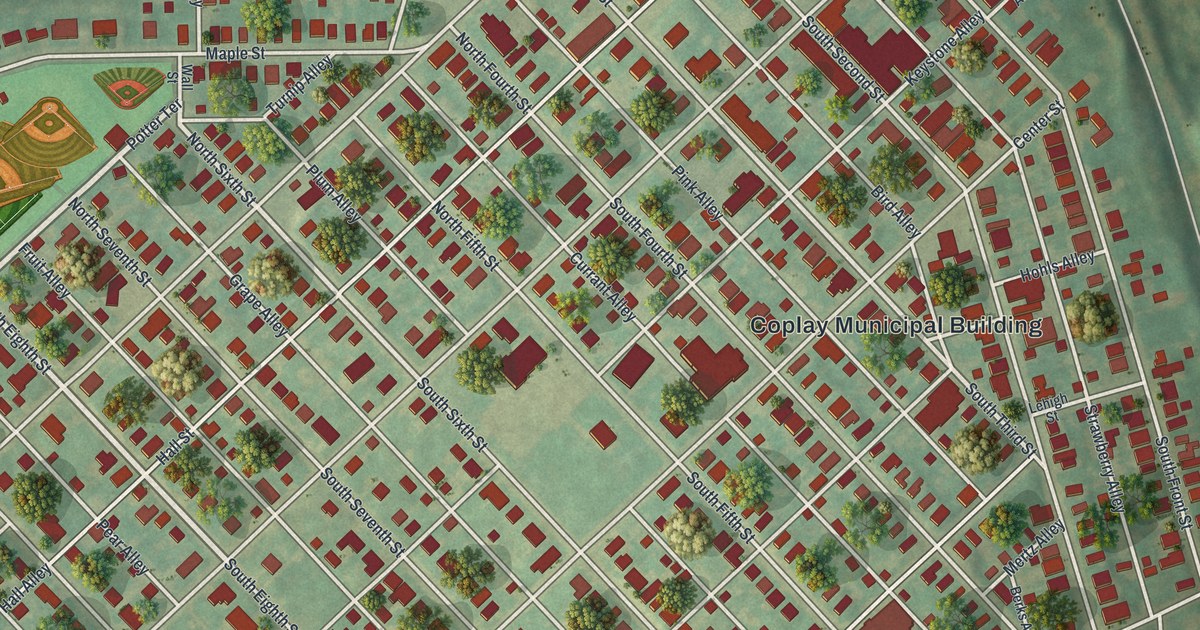
If you grew up in Coplay, played ball at Saylor Field or still have family on Chestnut Street, this map has your town on it. It's a modern aerial view of the borough of Coplay in Lehigh County, Pennsylvania, made from modern data and given a vintage look. The houses are drawn in red on soft green hills, block by block. The Lehigh River curves past the top right corner, and the whole grid of numbered streets and small alleys fits on one sheet. Explore the print options for Coplay.
Center Street, the fruit alleys and Saylor Field
Start at the Coplay Municipal Building, just right of center. Center Street runs past it, with Keystone Alley and Coplay Street close by. Many of the small alleys that cross Center Street are named for fruit: Strawberry, Grape, Currant, Pear, Peach and Plum. There's even one called Fruit Alley. Now follow Chestnut Street up toward the top right, where Bridge Street leaves it near the river. Near the top of the map, Coplay Road passes Saylor Park and Coplay Parkway, and Keefer Street drops from it down into town. Saylor Field is named close by, with its ball fields drawn in. On the left side of the sheet, Coplay Cemetery sits by Oak Street, with Cemetery Alley beside it. Hokendauqua Street runs along the bottom edge of town. The river itself isn't labeled on the print. Many of the roads are named, and each red shape is a building, so zoom in on the preview and look for your block.
Coplay didn't always go by Coplay. The 1914 History of Lehigh County says John Jacob Schreiber bought 400 acres here from the Penns in 1740. For a long time the place was just called Schreiber, and the ferry over the Lehigh was Schreiber's ferry. Later it took the name Lehigh Valley, after the iron company whose furnaces stood here. Then, in 1854, the Thomas Iron Company started up at what's now Hokendauqua. To draw trade, it put up a large sign: "This place shall henceforth be known as Hockendauqua." Lehigh Valley then became Coplay, named for the creek that empties into the Lehigh just to the south. The book says the word comes from Kolapechka, the name of a son of the chief Paxanosa.
The Schreiber name is still on this map. Schreiber Avenue and Schreiber Street sit on the right side of town, near the Coplay Municipal Building. The book also says Coplay Cemetery was dedicated on October 18, 1874. A state historical marker on Coplay Road tells of a real first. It says David O. Saylor was the first to make portland cement in the United States, at Coplay in 1871. The marker isn't printed, but Saylor Park and Saylor Field carry the same name near the top of the sheet.
For someone who knows Chestnut Street and Saylor Park
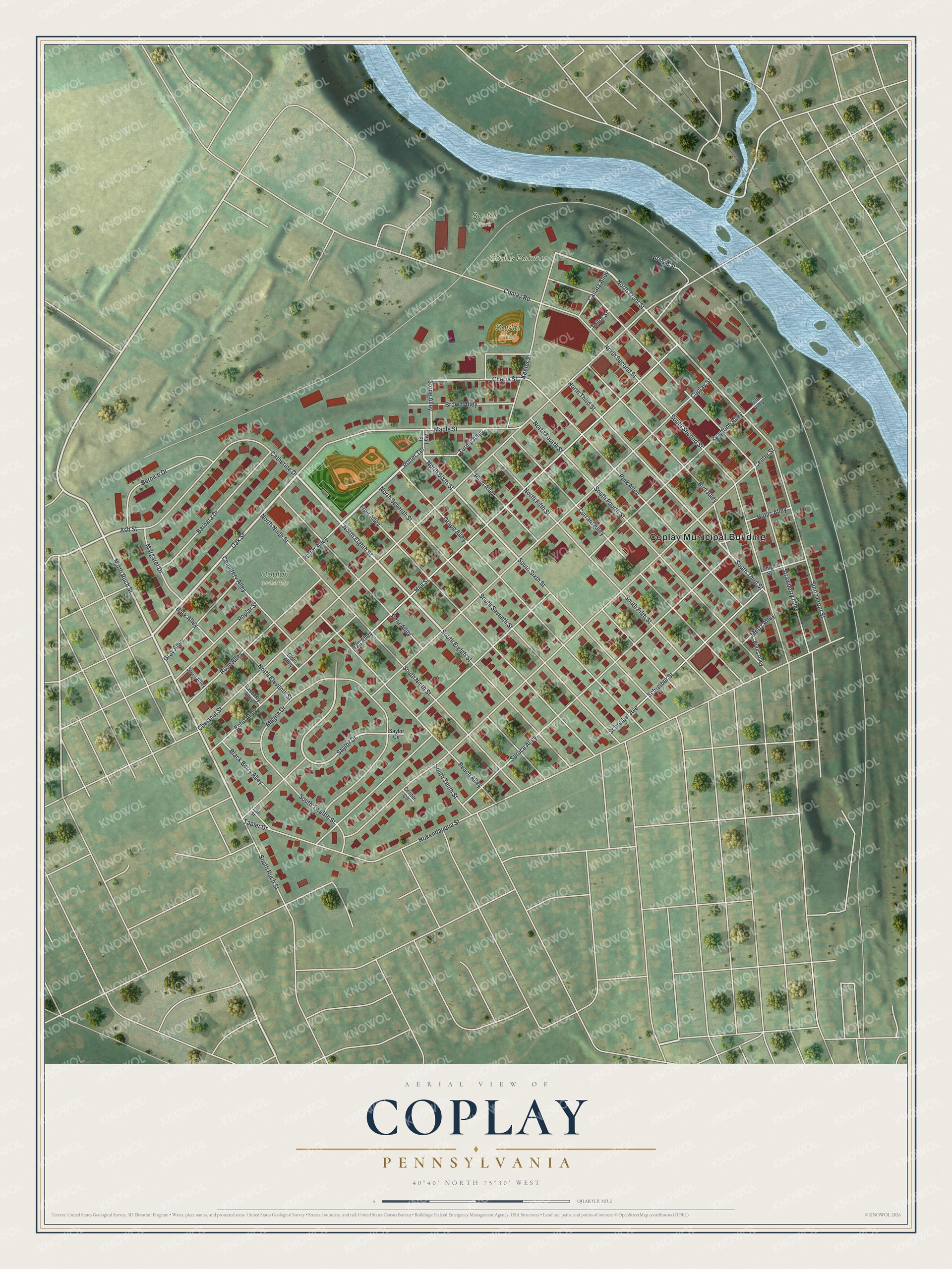
Created by KNOWOL in 2026, this Coplay map suits a living room, a kitchen or an office wall. The hills are shaded from USGS elevation data, and the buildings are drawn in deep red. The title panel reads "Aerial View of Coplay, Pennsylvania," with the coordinates 40°40' North, 75°30' West and a quarter-mile scale bar.
It's a thoughtful gift for someone who grew up in Coplay, moved away from the Lehigh Valley or still has family in the borough. Open the preview, find Chestnut Street and follow it to a block you know. Shop the Coplay, Pennsylvania map.