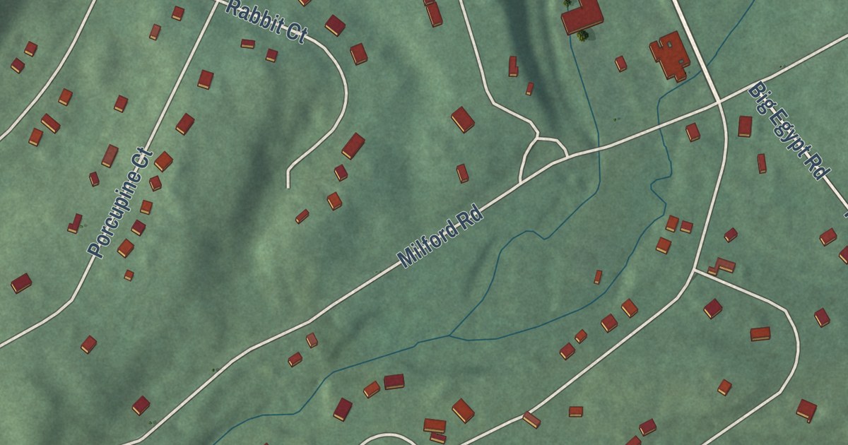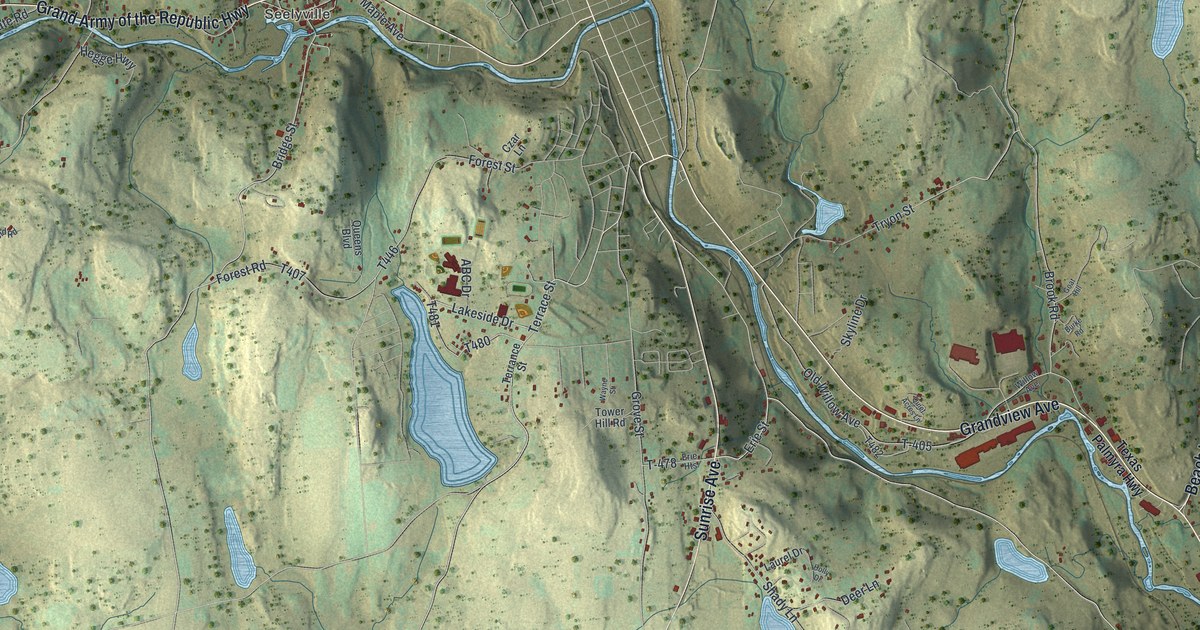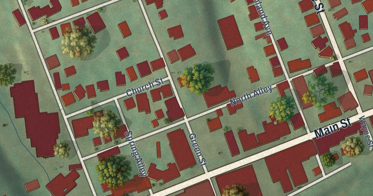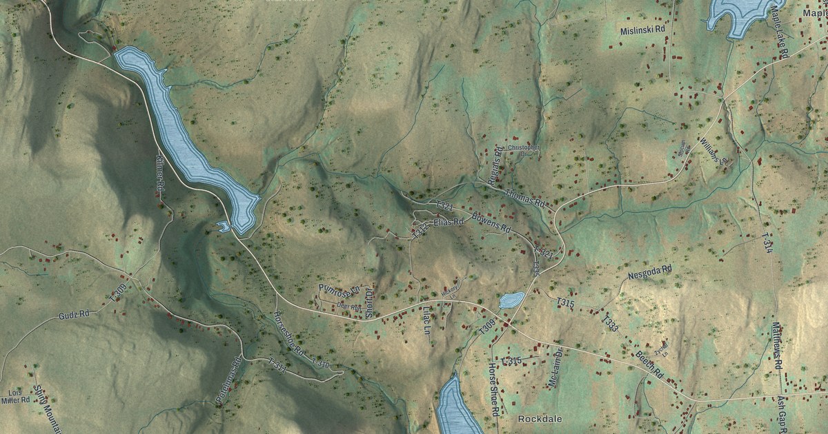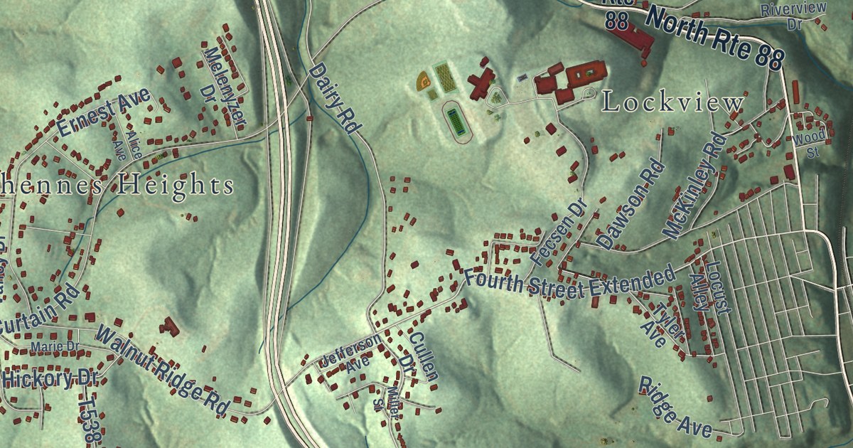
This beautifully detailed map of Fallowfield, Pennsylvania was created in 2026 using aerial imagery combined with modern topographical, census, street and landmark data. It’s a one-of-a-kind view of Fallowfield that combines accurate data with a vintage aesthetic. The map shows every building in its true location, many of the roads carry their names, and the shaded topographic relief shows the shape of the land.
Explore an aerial view of Fallowfield, Pennsylvania
On the map you’ll find Ghennes Heights, Gibson, Ginger Hill, Jonestown, Lockview, Lover, Redds Mill, Rogers Stop, Sudan, Twin Bridges, Van Voorhis, Warner, and more. If you look closely you can even find your house accurately drawn in its correct location. Zoom in on the preview to look for yours.
Take a closer look at the Fallowfield map
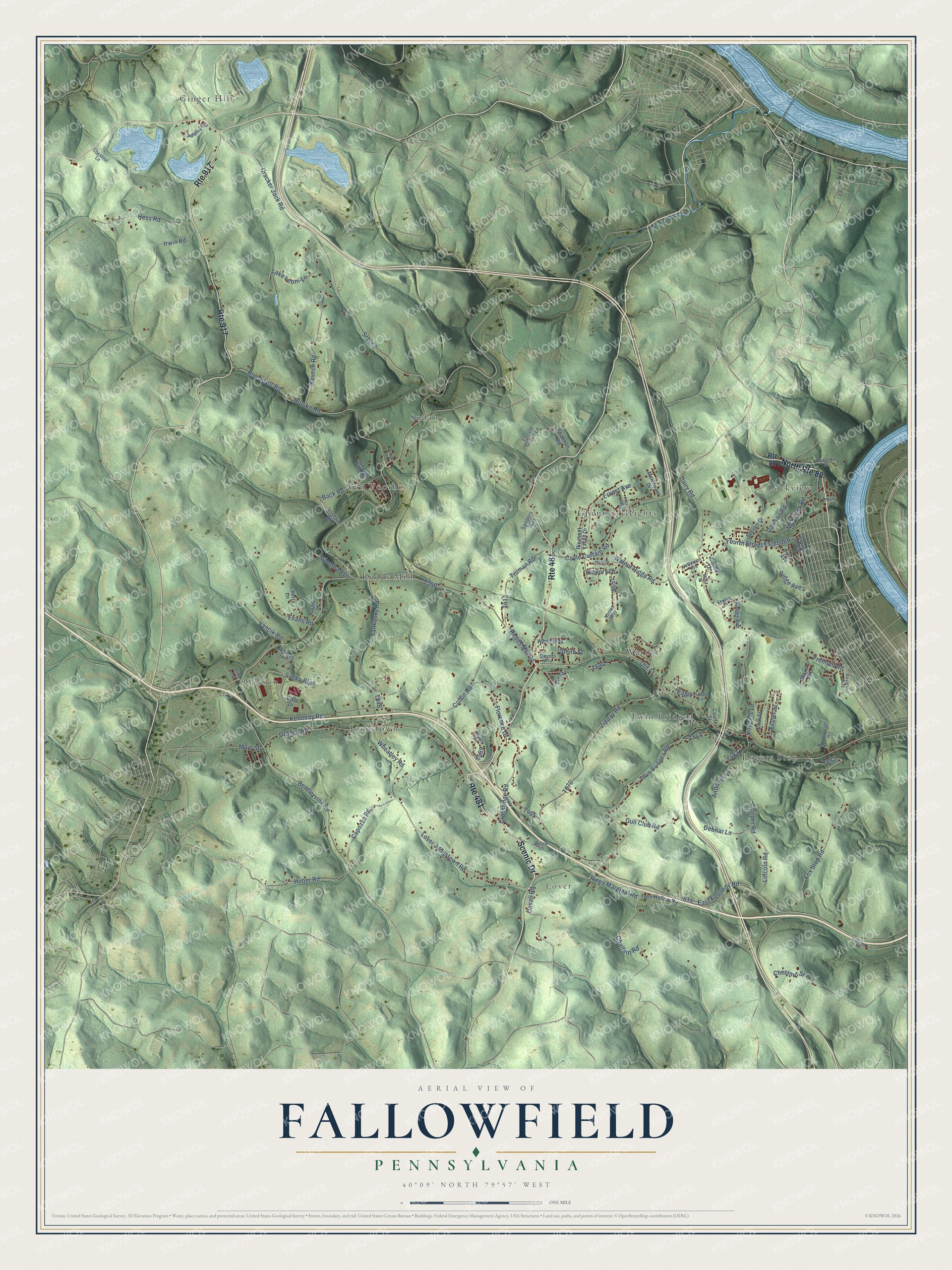
Street and place names on the Fallowfield, Pennsylvania map
These names are printed on the map of Fallowfield, Pennsylvania.
Places: Van Voorhis, Lockview, Lover, Ginger Hill, Rogers Stop, Gibson, Ghennes Heights, Redds Mill, Sudan, Jonestown, Warner and Twin Bridges.
Streets and roads: Route 481, Scenic Drive, Route 917, North Route 88, Fremont Road, Lover Jonestown Road, Fourth Street Extended, Chalfant Road, Capozza Road, Cracker Jack Road, Grange Road, Duvall Road.
More street names, A to Z
Adams Lane, Alice Avenue, Andrews Lane, Back Road, Beach Drive, Bentleyville Road, Butsko Road, Camway Lane, Cherry Lane, Chestnut Lane, Chestnut Road, Chestnut Street, Colvin Road, Cooper Road, Coulter Street, Coyle Curtain Road, Crossridge Road, Cullen Drive, Dairy Road, Dawson Road, Deambroggi Road, Debnar Lane, Eagle, East Kennedy Road, Ernest Avenue, Esther Street, Evans Road, Fecsen Drive, Ferdeli Drive, Florence Drive, Fox Stop Road, Glemba Avenue, Grant Street, Gun Club Road, Hess Road, Hickory Drive, Huber Road, Irwin Road, Jefferson Avenue, Kennedy Road, Kevech Road, Kinder Avenue, Lake Leoni Lane, Lincoln Road, Locust Alley, Locust Grove Lane, Lynda Lane, Main Street, Marie Drive, McKinley Road, Melenyzer Drive, Miller Street, Miner Avenue, Moyer Avenue, Nonies Way, Old 71, Park Street, Pines Marginal Road, Pleasant Valley Drive, Pottios Drive, Redds Mill Road, Reservoir Avenue, Ridge Avenue, Riverview Drive, Rodgers Lane, Roosevelt Road, Rosena Road, Route 88, Sanders Way, Shannon Road, Simko Boulevard, Smith Street, Sr1067, Stevens Way, Truman Road, Twin Bridges Road, Twin Hollow Road, Tyler Avenue, Vancik Road, Vista Drive, Walnut Ridge Road, Wertz Way, Wheatley Road, Willow Lane, Wood Street, Wukovick Farm Road, Yankosky Road, Zippay Road.
See the Fallowfield, Pennsylvania map on a wall
The Fallowfield map as an 18 x 24 inch print in a black frame.

This beautifully detailed map of Fallowfield makes an attractive addition to your office, library, or den, and it can even be used to teach children the geography and history of the area. It also makes a great gift for someone who left Fallowfield and still calls it home. When you’re done exploring, click here to get your copy of the Fallowfield map.