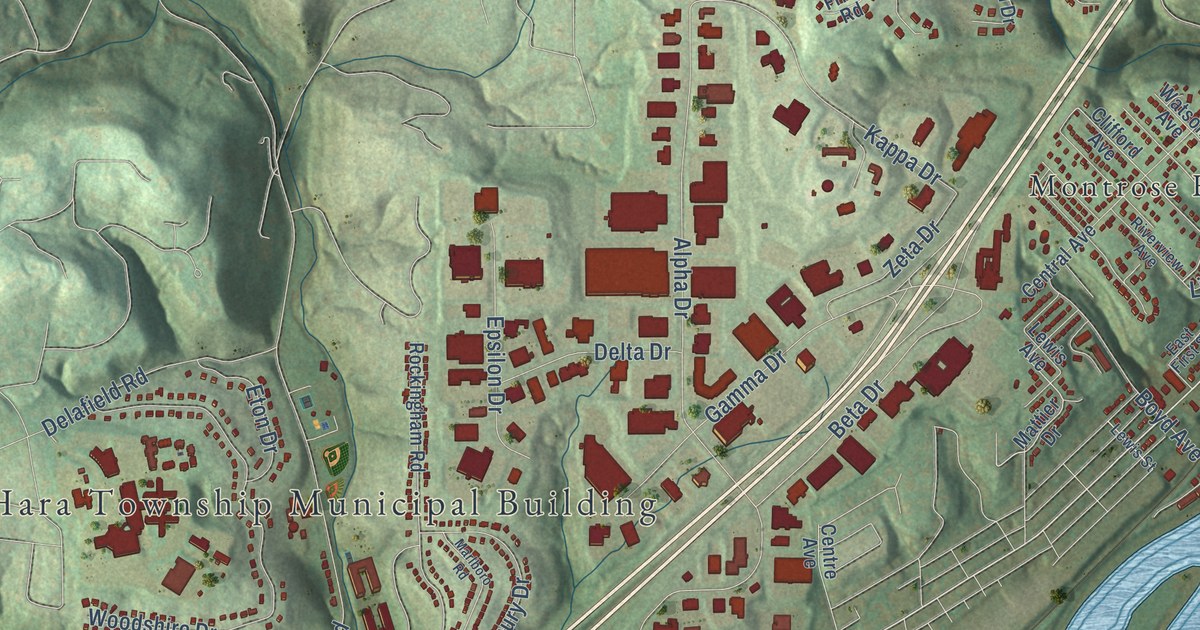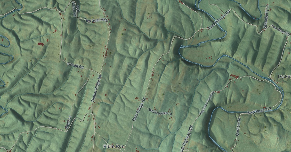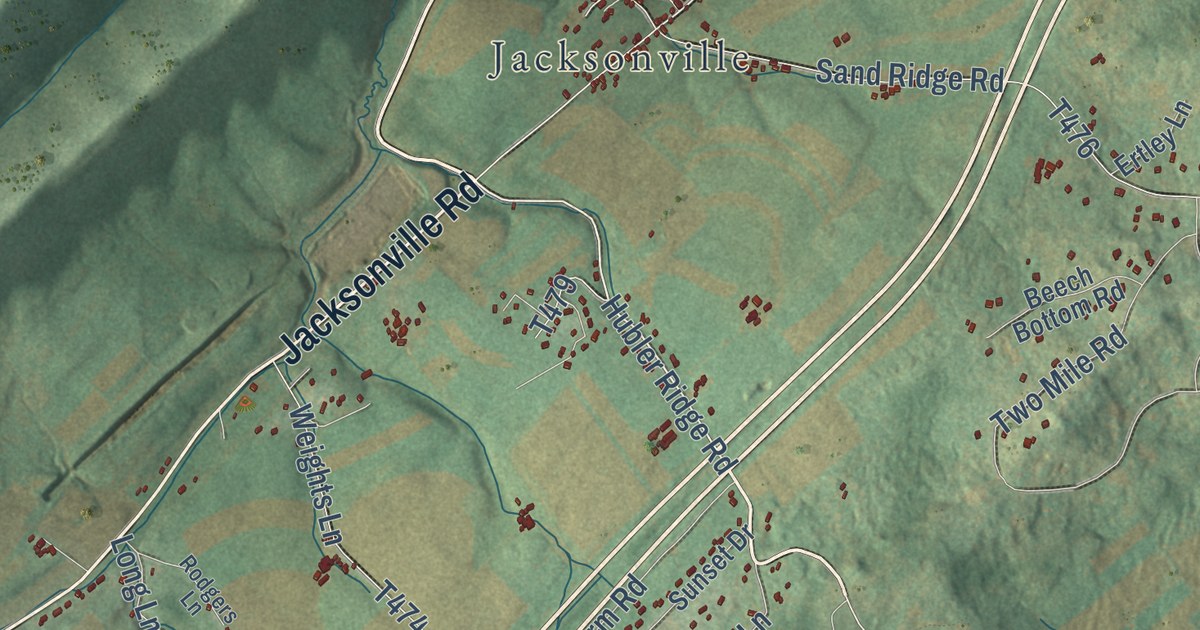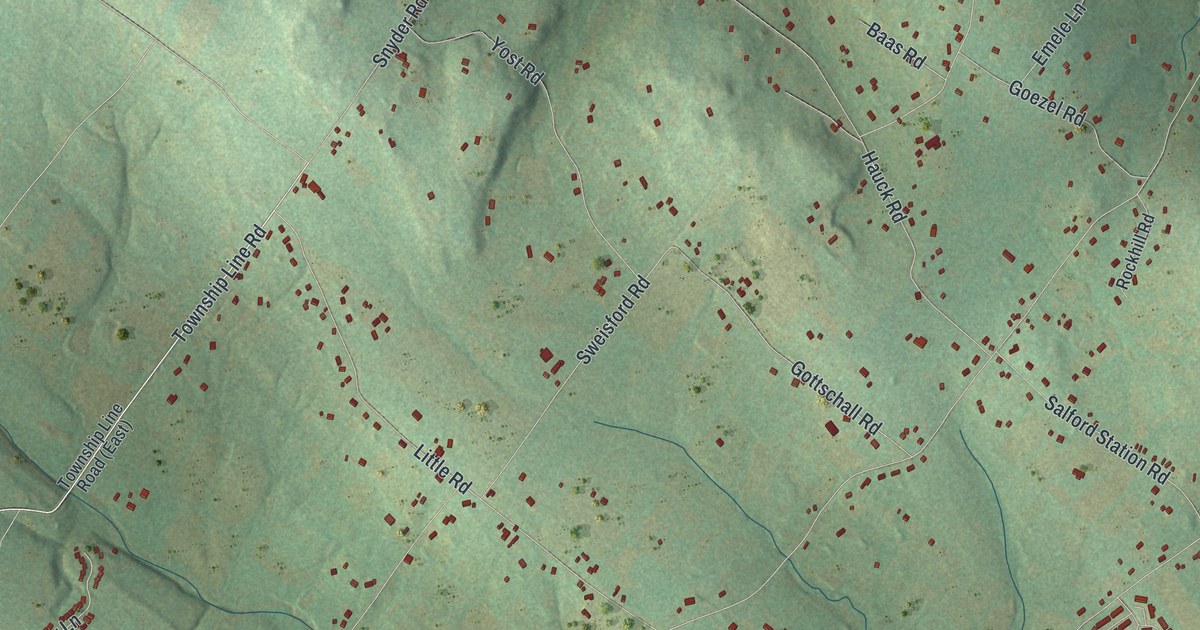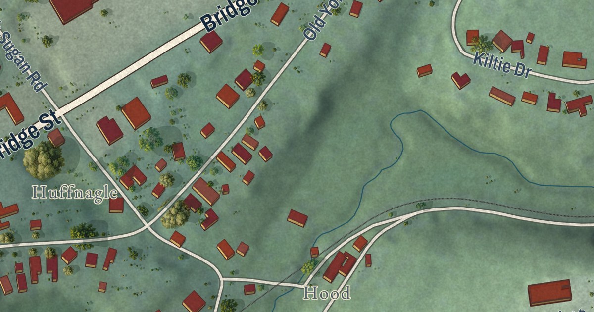
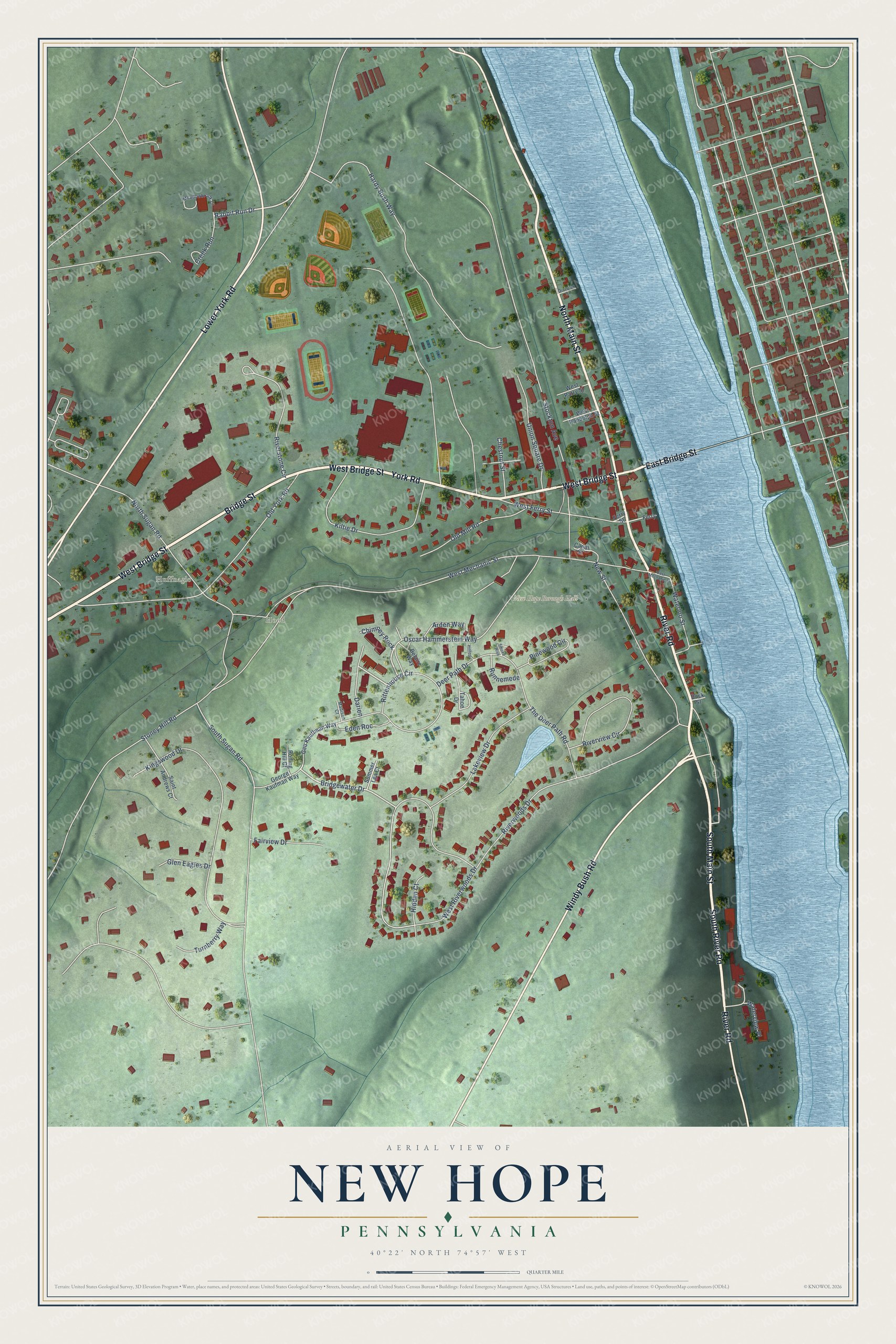
This beautifully detailed map of New Hope, Pennsylvania was created in 2026 using aerial imagery combined with modern topographical, census, street and landmark data. It’s a one-of-a-kind view of New Hope that combines accurate data with a vintage aesthetic. The map shows every building in its true location, many of the roads carry their names, and the shaded topographic relief shows the shape of the land.
Explore an aerial view of New Hope, Pennsylvania
On the map you’ll find New Hope Borough Hall, Huffnagle, and Hood, along with River Road, South River Road, East Bridge Street, North Main Street, Windy Bush Road, Bridge Street, South Main Street, West Bridge Street, York Road, and more. If you look closely you can even find your house accurately drawn in its correct location. Zoom in on the preview to look for yours.
Did you know this piece of New Hope, Pennsylvania history?
The town was first known as Wells’ Ferry. Later it took the name Coryell’s Ferry. In 1790, fire wrecked several of Benjamin Parry’s mills. Parry rebuilt them as New Hope Mills, and the town adopted that name.
Take a closer look at the New Hope map
Street and place names on the New Hope, Pennsylvania map
These names are printed on the map of New Hope, Pennsylvania.
Places: New Hope Borough Hall, Huffnagle and Hood.
Streets and roads: West Bridge Street, York Road, River Road, South River Road, North Main Street, East Bridge Street, Windy Bush Road, Bridge Street, South Main Street, Lower York Road, Rabbit Run Drive, Oscar Hammerstein Way.
More street names, A to Z
Arden Way, Belaire Way, Bridgewater Drive, Canal Street, Chestnut Street, Chimney Rock, Creek Run, Darien, Deer Path Drive, Division Street, Dock Street, East Mechanic Street, Eden Roc, Fairview Drive, Ferry, Ferry Street, Geo Kauffman Way, George Kaufman Way, Glen Eagles Drive, Hardy Bush Way, Hidden Court, Hilltop, Kiltie Drive, Kingswood Drive, Lakeview Drive, Madison Court, Meadowbrook Court, New Street, North Sugan Road, Old Mill Road, Old York Road, Pinewood Circle, Rittenhouse Circle, Riverstone Circle, Riverview Circle, Riverwoods Drive, Rolling Hill Court, Runnemede, Saint Andrews Court, Smoke Rise, South Sugan Road, Stockton Avenue, Stoney Hill Road, Summer Lea Court, Tahoe Drive, The Deer Path Road, Turnberry Way, Union Square Drive, Waterloo Street, Waterview Place, West Ferry Street, West Mechanic Street, West Parry Street, West Randolph Street, West Riverwoods Drive.
See the New Hope, Pennsylvania map on a wall
The New Hope map as an 18 x 24 inch print in a black frame.

This beautifully detailed map of New Hope makes an attractive addition to your office, library, or den, and it can even be used to teach children the geography and history of the area. It also makes a great gift for anyone who grew up in New Hope or moved away. When you’re done exploring, click here to get your copy of the New Hope map.