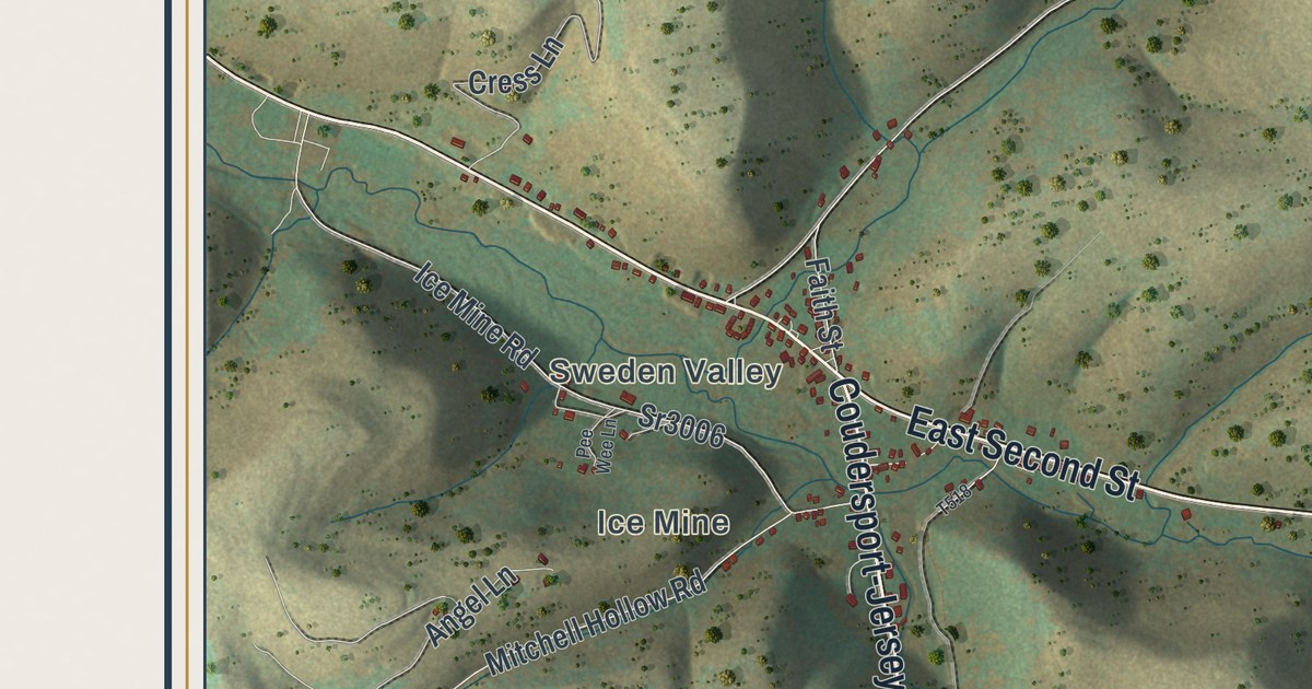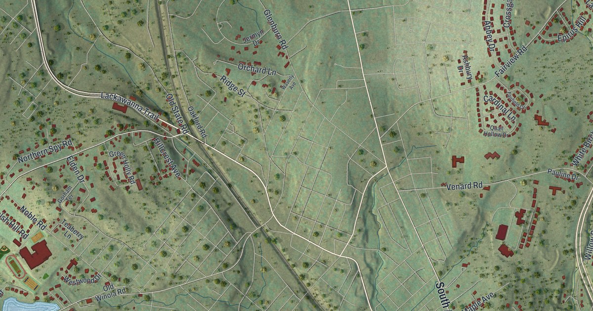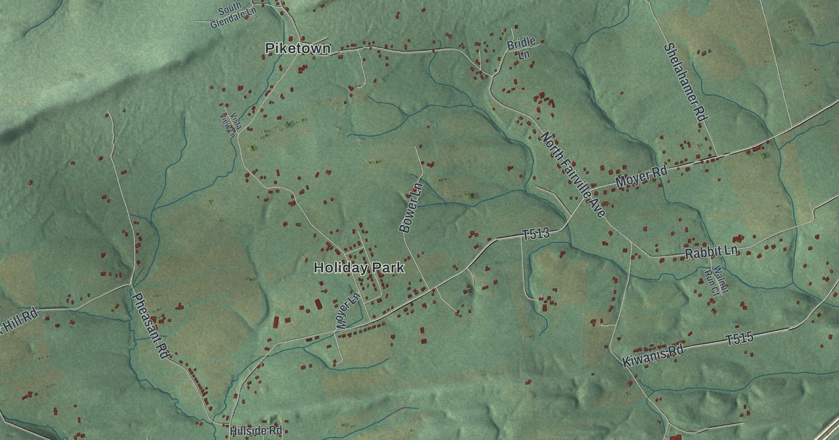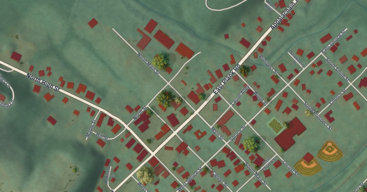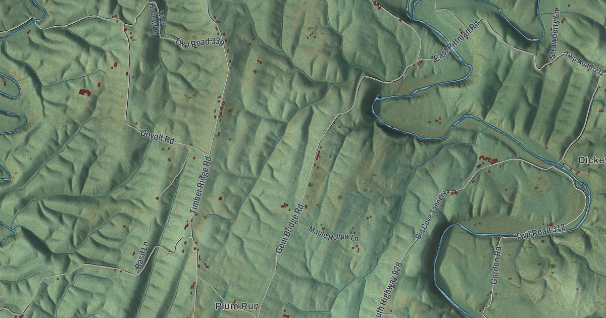
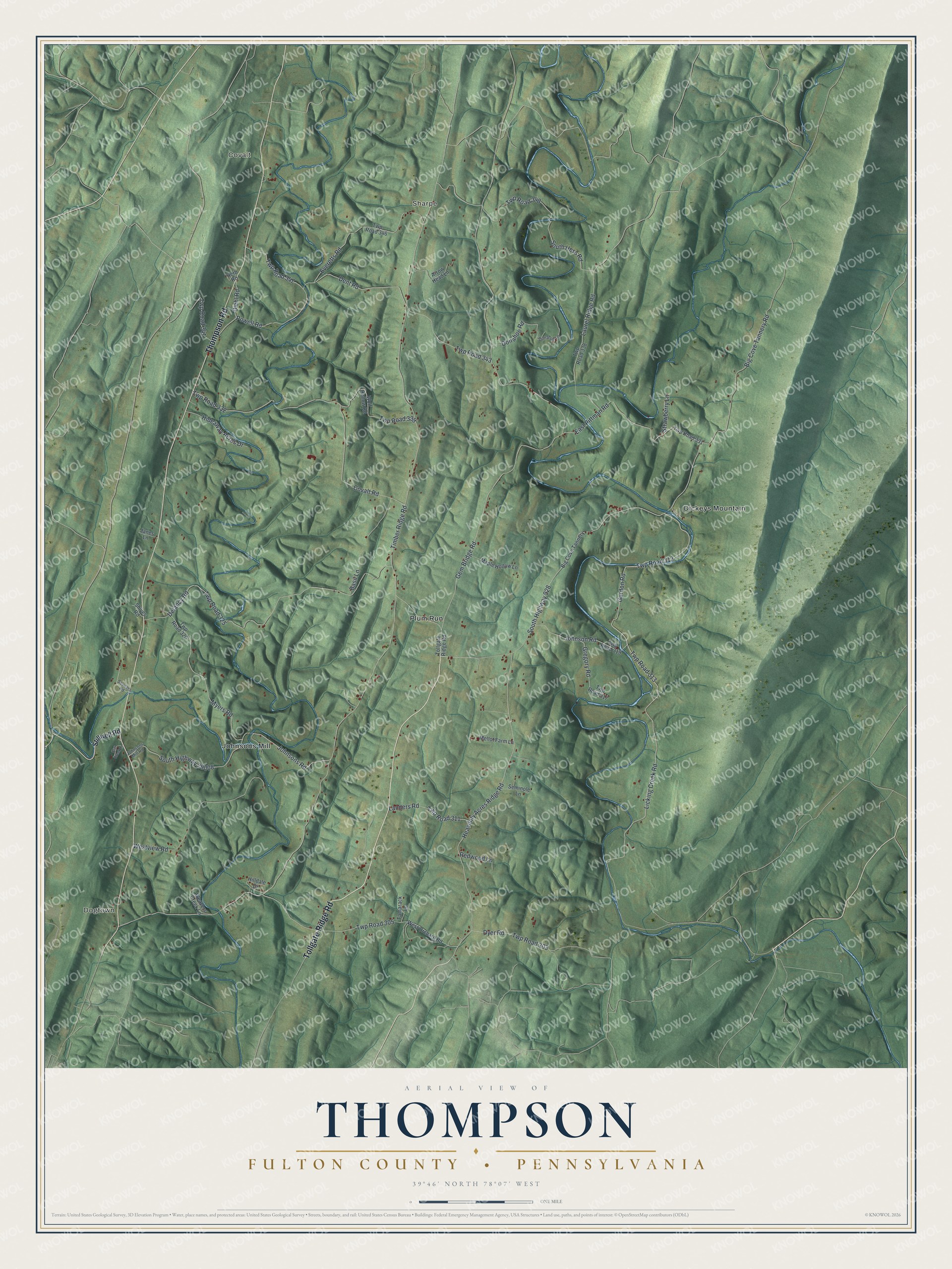
This beautifully detailed map of Thompson, Fulton County, Pennsylvania was created in 2026 using aerial imagery combined with modern topographical, census, street and landmark data. It's a modern aerial view of Thompson, Fulton County in Fulton County, Pennsylvania, that combines modern data with a vintage aesthetic. The roads feature printed names, and if you look closely you can find your exact house accurately shown in its correct location.
Explore an aerial view of Thompson, Fulton County, Pennsylvania
On this map you'll find Dogtown, Covalt, Sharpe, Dickeys Mountain, Johnsons Mill, Plum Run, Tollgate Ridge Road, Thompson Road, Licking Creek Road, Gordon Road, Twp Road 312, Big Cove Tannery Road, and more. Each red shape is a building, so zoom in on the preview and look for yours.
Every town has a first chapter, and Thompson, Fulton County is no exception. The History of Bedford Somerset and Fulton puts it this way: "His father came to this county about 1820 and settled in Thompson township."
Thompson, Fulton County is a place in Fulton County. The Census Bureau counted 1,029 people here in 2020.
Take a closer look at the Thompson, Fulton County map
Names on this map
These names are printed on this map.
Places: Dogtown, Covalt, Sharpe, Dickeys Mountain, Johnsons Mill and Plum Run.
Streets and roads: Tollgate Ridge Road, Thompson Road, Licking Creek Road, Gordon Road, Twp Road 312, Big Cove Tannery Road, Twp Road 347, Timber Ridge Road, Gem Bridge Road, South Highway 928, Heavenly Acres Ridge Road, Twp Road 343.
More street names, A to Z
Arrow Head Lane, Basil Lane, Big Cove Tannery, Cliff Creek Lane, Covalt Road, Delancy Road, Dent Road, Diehl Road, Donahoe Lane, Donahoe Road, Dyer Road, East Pittman Road, Everetts Road, Gregory Road, Herb Road, Hideaway Acres Drive, Hilldale Drive, Janes Lane, Johnson Road, Johnsons Mill Road, Johnsons Road, Landers Road, Laurel Ridge Road, Maple Hollow Lane, Mellot Farm Lane, Myers Road, Powell Road, Redwood Lane, Seminole Lane, Shives Road, Souders Road, South Hess Road, South Highway 29008, Stillwell Road, Strawberry Lane, Tamarack Lane, Twp Road 303, Twp Road 305, Twp Road 311, Twp Road 313, Twp Road 317, Twp Road 319, Twp Road 320, Twp Road 325, Twp Road 331, Twp Road 332, Twp Road 338, Twp Road 339, Twp Road 341, Twp Road 346, Twp Road 348, Weavers Creek Lane, West Orchard Road, Westview Road, Wolf Hollow Road.
See it on a wall
The Thompson, Fulton County map as a framed print. Swipe for more.


Created by KNOWOL in 2026. The buildings are small red shapes, the roads carry their printed names, and shaded relief shows the shape of the land. The title panel reads "AERIAL VIEW OF THOMPSON, FULTON COUNTY • PENNSYLVANIA" with 39°46' NORTH 78°07' WEST.
Hang it in the hallway, the office or the cabin, or give it to someone who left Thompson, Fulton County and still calls it home. Open the preview and look for a street you know. See sizes and frames for the Thompson, Fulton County map.