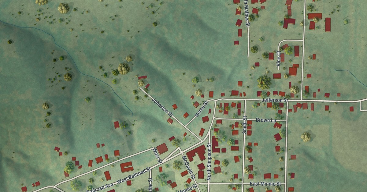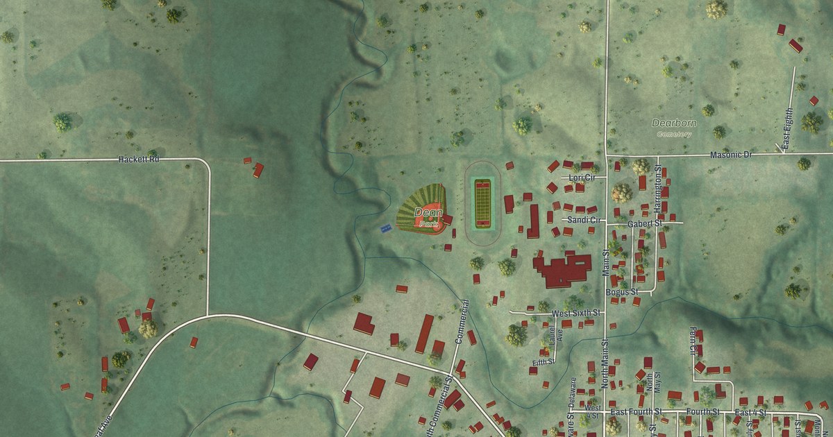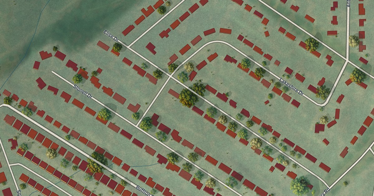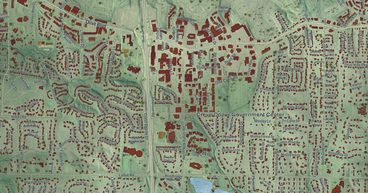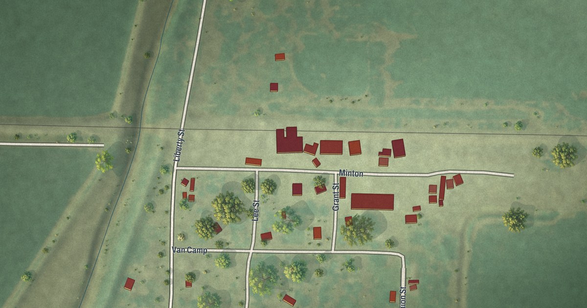
If you grew up on Grant Street or Minton in Fortescue, here's your hometown from above. It's a modern aerial view of Fortescue in Holt County, Missouri, made with modern data and given a vintage feel. A small grid of streets sits in the middle of wide green fields. A thin rail line runs across the sheet just north of town. Down in the lower left corner, a blue creek winds through the farmland.
How Jacob Book Laid Out Fortescue in 1890
On this map you'll find Minton, Grant Street, Van Camp, Ada, Union Street, Liberty Street, Lee Street, and more. Each red shape is a building, so zoom in on the preview and look for yours.
Fortescue was built right along the railroad. The 1917 History of Holt County says Bailey M. Beasley owned the land south of the track. James Stuart owned the land on the north side. Dr. J. L. Minton owned part of the townsite too. Jacob Book bought Beasley's land and laid out the town in April 1890. By 1917, Fortescue was one of eleven railroad stations in the county. On the map, the town's streets sit just south of that thin rail line, on the side Beasley once owned.
Why Voters Asked for a Minton Township Voting Place at Fortescue
On June 4, 1894, the county court created Minton Township. Many voters lived a long way from Forest City or Bigelow. People asked for a new township with a voting place at Fortescue, so they could get to the polls more easily. The township covers Missouri River bottom land, and the same book says no part of the county had seen better farming growth. The Bank of Fortescue opened in 1914. In 1913 and 1914, a lighting company built lines out to Fortescue and its neighbors, and the county history calls it twenty-four hour service.
Grant Street and Minton on Your Wall
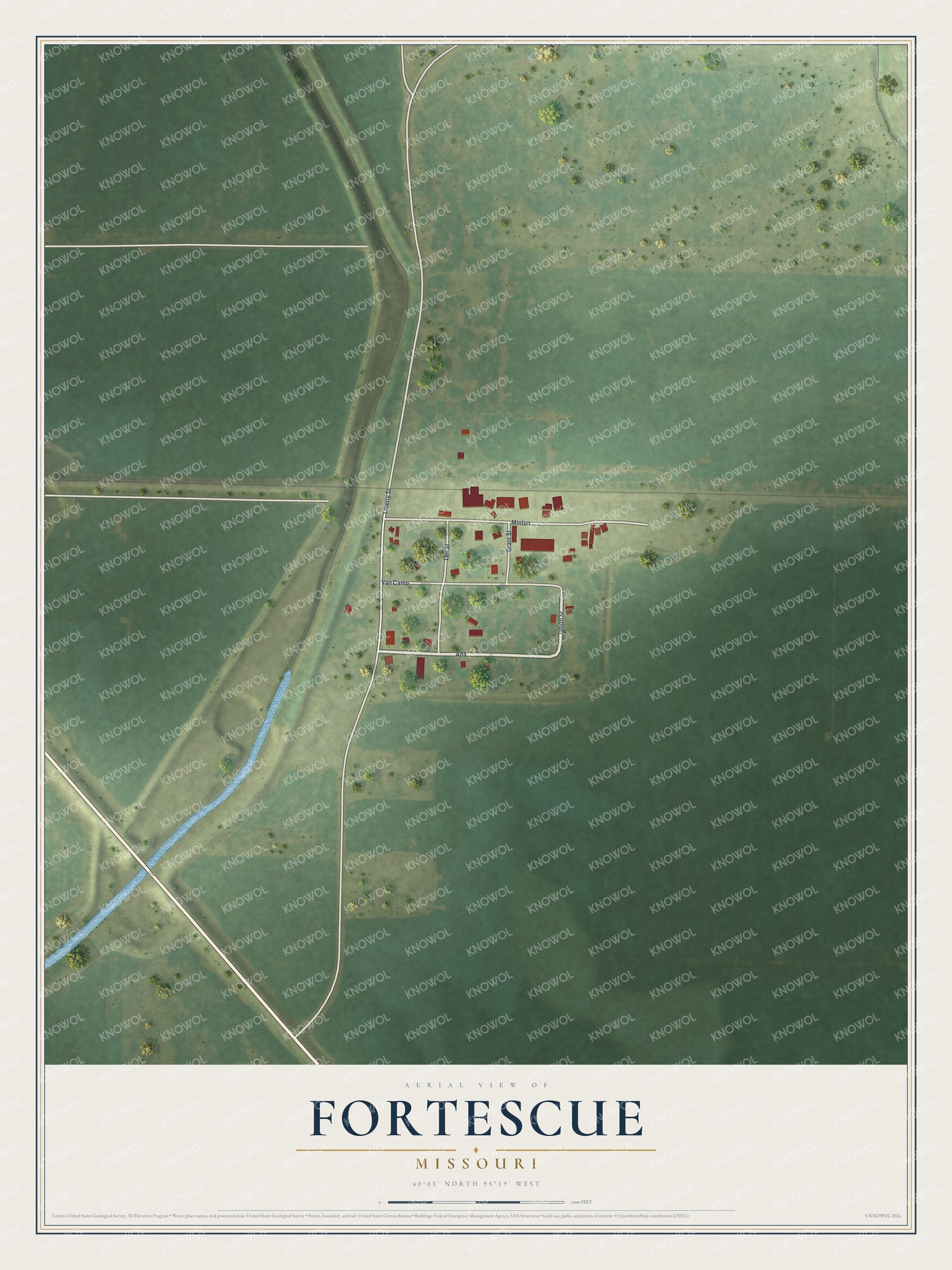
Created by KNOWOL in 2026. The print shows green farm fields around Fortescue's small street grid, with each building in red and a blue creek in the lower corner. The title panel reads Aerial View of Fortescue, Missouri, 40°03' North 95°19' West.
It fits a kitchen, a hallway or a farm office. It's a kind gift for someone who grew up on Grant Street and moved away from Holt County. Open the preview and find Minton at the top of town. See sizes and frames for the Fortescue map.