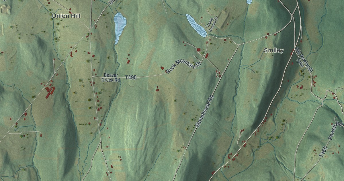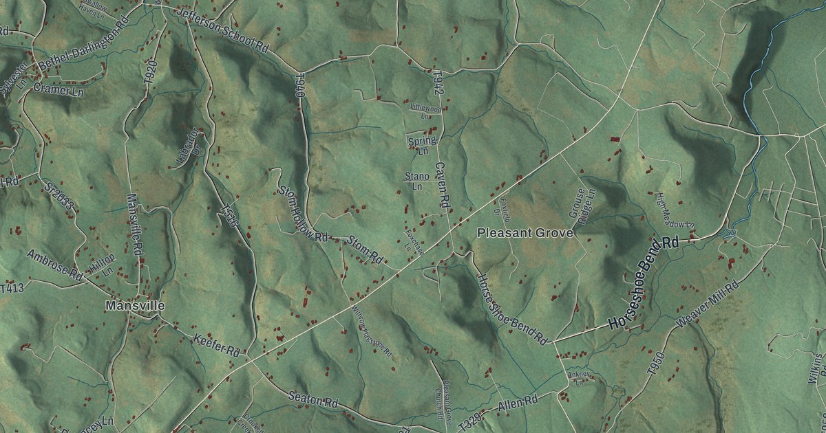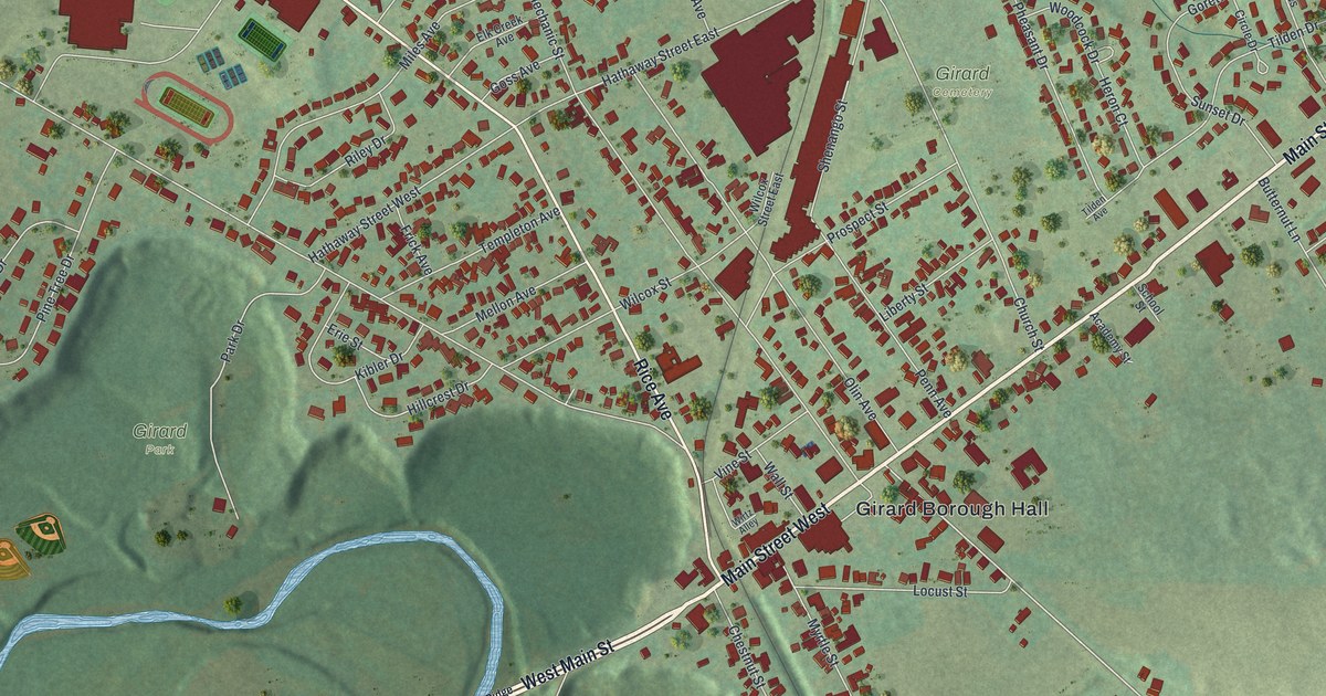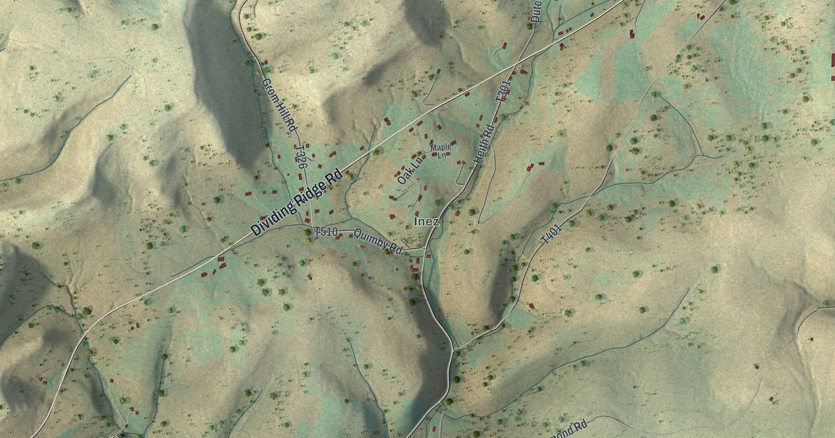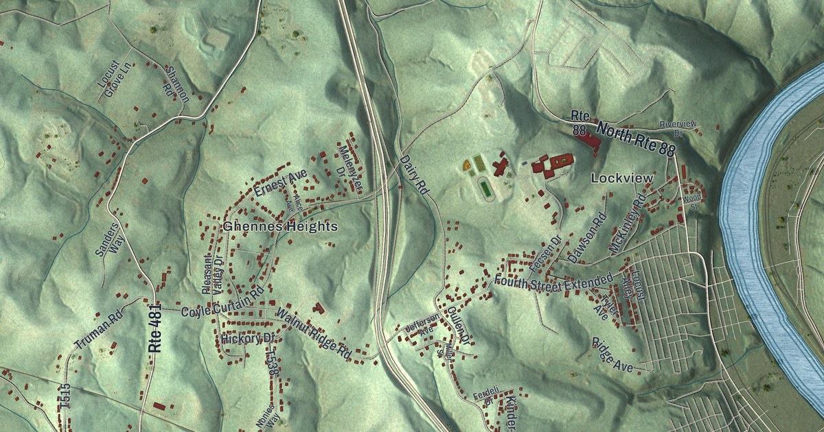
If you grew up in Jonestown or Ginger Hill, or you still drive Rte 481 home past Lover, this map has plenty to find. It's a modern aerial view of Fallowfield Township in Washington County, Pennsylvania, made from modern data and given a vintage feel. Green hills are shaded across the whole sheet, and more than 11,000 buildings are marked in red. The Monongahela River curves along the right edge, though it isn't labeled. Twelve small places are named, from Ginger Hill in the top left corner to Rogers Stop near the bottom right. Explore the print options for Fallowfield.
From Jonestown up Bentleyville Road to Ginger Hill
Start at Jonestown, just below the middle of the sheet, where Kennedy Road runs through. Head west on Kennedy Road and you'll come to Gibson, where it meets Bentleyville Road. Turn north. Bentleyville Road climbs past Redds Mill and Van Voorhis to Sudan. Keep going and Cracker Jack Road branches off to the west. Follow it to Rte 917 and Ginger Hill in the top left corner, where two ponds sit beside the road without labels. Now go back to Jonestown. Kennedy Road runs east to meet Rte 481, which heads southeast as Scenic Drive down to Lover. From Lover, Twin Bridges Road heads northeast to Twin Bridges and Old 71. Up on the right edge, Lockview sits close to the river. Many of the roads are labeled, and each red shape is a building, so zoom in on the preview and look for yours.
How John Jones laid out Jonestown in 1828
An 1871 history of Washington County calls Fallowfield the sixth of the county's first townships. In 1860 it had 897 people. The book names just two towns, Jonestown and Ginger Hill. John Jones laid out Jonestown in 1828, and about fifty people lived there. It stood on the State road from Canonsburg to Bellvernon, six miles from the Monongahela River. Ginger Hill was on the Williamsport and Washington Turnpike, near the township's north line. A state historical marker in Monongahela says the city was laid out in 1796 as Williamsport.
The same book lists what people made here. There was one tannery, two grist mills, one distillery and five sawmills. Two makers turned out sorghum, and there was one large vineyard. The Pigeon Creek Methodist church went up in 1836 on the road from Bentleysville to Monongahela City. A Disciple church was built in 1866 on the farm of Dutton Shannon. Shannon Road is printed today between Rte 481 and Bentleyville Road, but the book doesn't say if it's the same family.
Look at the top of the map and you'll see Monongahela's streets along the river, though the city isn't labeled. Ginger Hill still sits toward that edge, just as the book placed it. The John H. Nelson House on Colvin Road is listed on the National Register. The house isn't labeled, but Colvin Road is, running between Rte 481 and Kennedy Road near the center.
For anyone who knows Kennedy Road and Rte 481
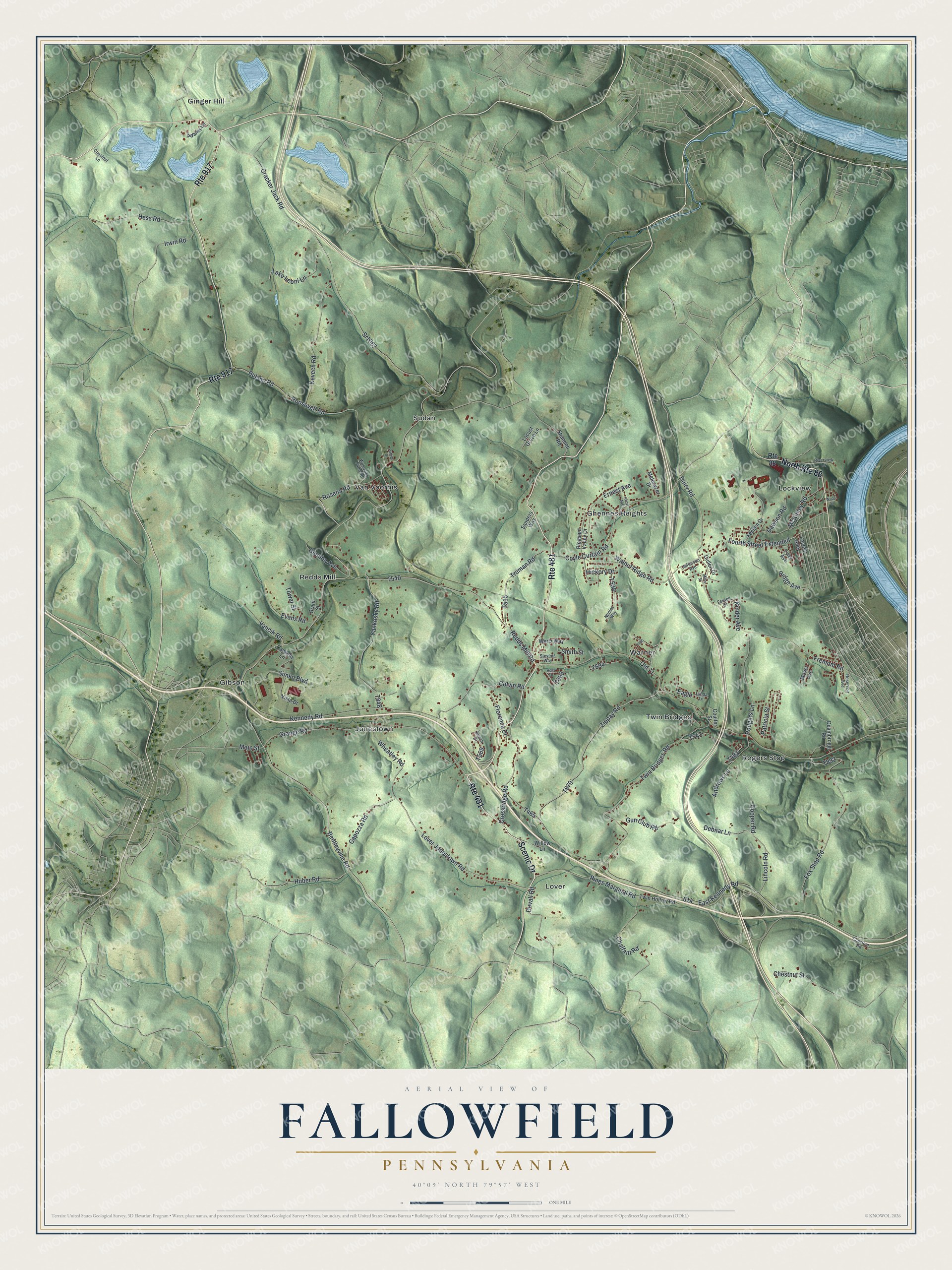
Created by KNOWOL in 2026, this Fallowfield map shows the township's hills in shaded green, with buildings in red and many roads named. The shaded hills come from USGS elevation data. The title panel reads "Aerial View of Fallowfield, Pennsylvania," with the coordinates 40°09' North, 79°57' West and a one-mile scale bar.
It suits a den, a kitchen or an office wall. It's a good gift for someone who grew up in Jonestown, Gibson or Lockview, or who moved away and still thinks about these hills. Open the preview, zoom in and find the road you know. Shop the Fallowfield, Pennsylvania map.