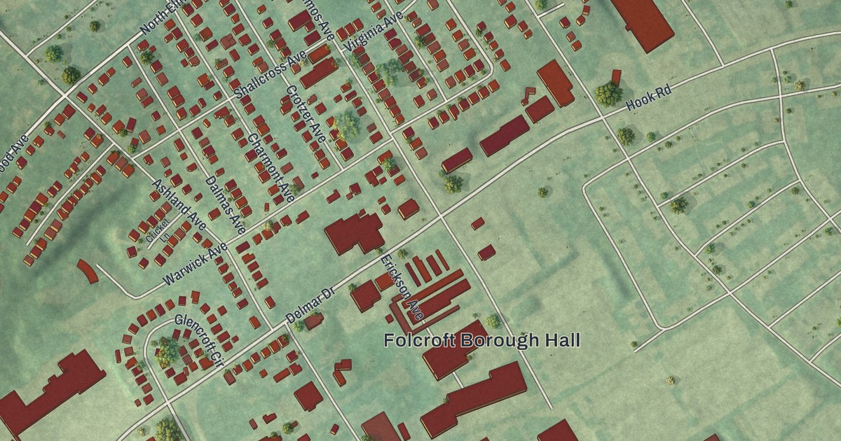
If you grew up in Folcroft, or still have family on Folcroft Avenue or School Lane, this map puts your whole borough in one frame. It's a new aerial view of Folcroft in Delaware County, Pennsylvania, built from modern data and given a vintage look. Homes and buildings are drawn in deep red on green ground. Chester Pike runs diagonally across the upper left of the sheet, and blue marsh channels twist across the bottom.
Folcroft Borough Hall and the Streets Around It
On this map you'll find Chester Pike, Folcroft Avenue, Delmar Drive, Primos Avenue, Elmwood Avenue, School Lane, Hook Road, Carpenters Crossing, Henderson Boulevard, Columbia Avenue, Valley View Drive, Folcroft Borough Hall, Montgomery Park, Oak Lane, and more. Each red shape is a building, so zoom in on the preview and look for yours.
Folcroft is a small borough with a lot packed in. The 2020 Census counted 6,792 people here. Rows of homes fill the upper part of the map, and Folcroft Borough Hall sits near the middle. Lower down, the red shapes get long and wide by Carpenters Crossing and Darby Commons Court. Those big buildings stand out right away. In the lower left, the streets bend in loops around Valley View Drive, Heather Road and Kent Road. Past the last houses, the land turns to marsh. The John Heinz National Wildlife Refuge is printed over the blue water there.
The New Sweden Story at Tinicum, Near Folcroft
Folcroft sits close to some of the oldest European history in Pennsylvania. State historical markers in nearby Essington tell the story. In 1643, Johan Printz, the governor of New Sweden, made his capital on Tinicum Island. It was the first permanent European settlement in what's now Pennsylvania. That was about four decades before William Penn founded the colony in 1681. The Dutch took New Sweden in 1655, and the English took it in 1664. Many Swedish and Finnish settlers stayed on. Another marker, on Creek Road in Clifton Heights, says their log cabins once stood along Darby Creek. The blue marsh channels at the bottom of this map sit in the same low country along Darby Creek and the Delaware.
Folcroft From Chester Pike to the John Heinz Refuge
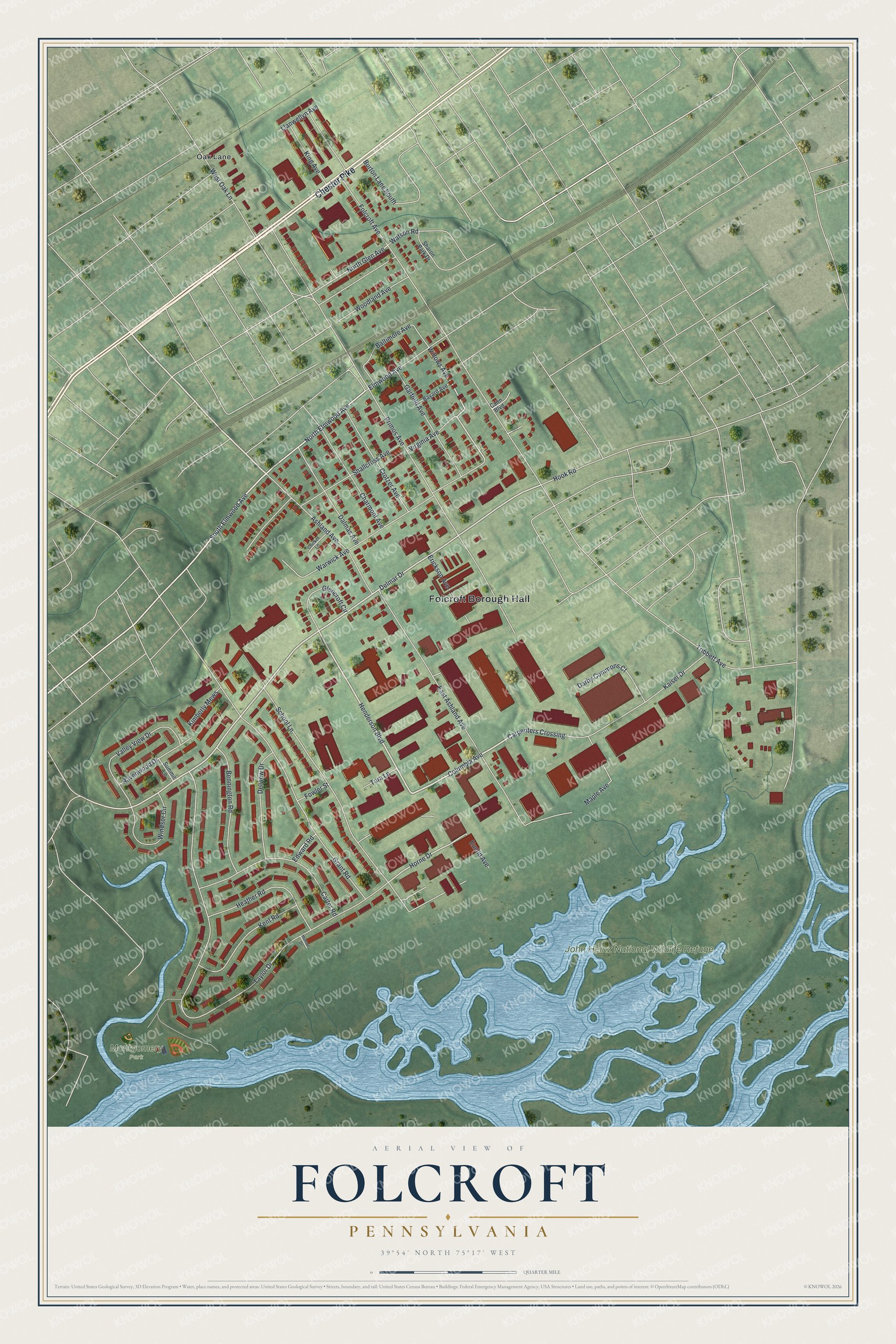
Created by KNOWOL in 2026, the print shows Folcroft from above, with buildings in deep red, streets in thin white lines and the marsh in soft blue. Shading from USGS elevation data gives the ground its gentle rise and fall. The title panel reads "Aerial View of Folcroft, Pennsylvania," with 39°54' North 75°17' West printed below.
It suits a living room, a hallway or a home office. It's a good gift for someone who grew up near Folcroft Borough Hall, or for a friend who moved away from Folcroft and would like the marsh by the John Heinz National Wildlife Refuge on their wall. Open the preview and find your street. See sizes and frames for the Folcroft map.