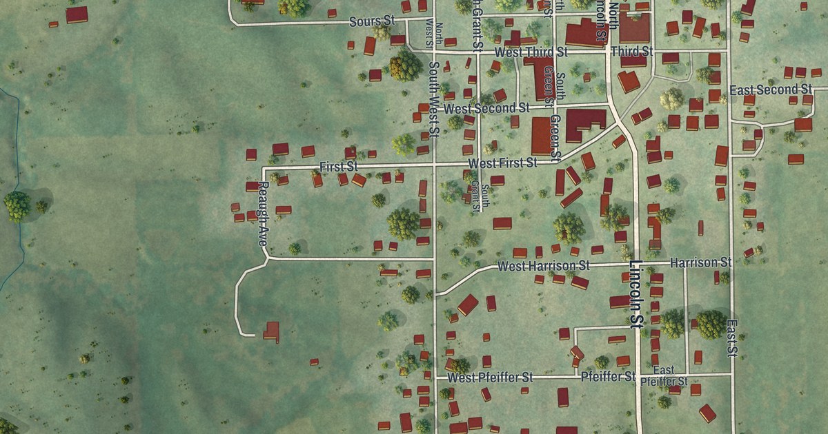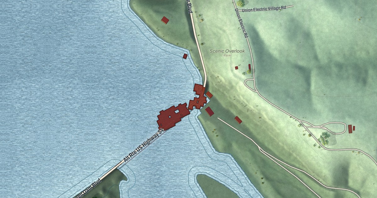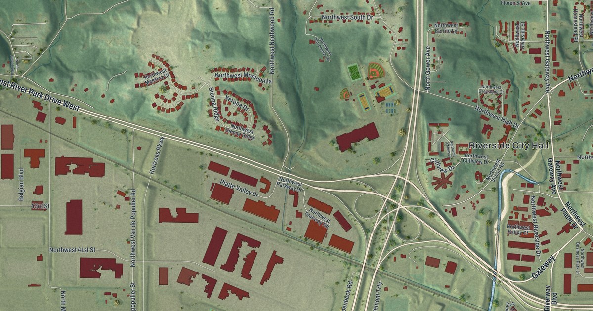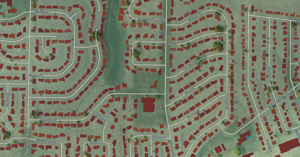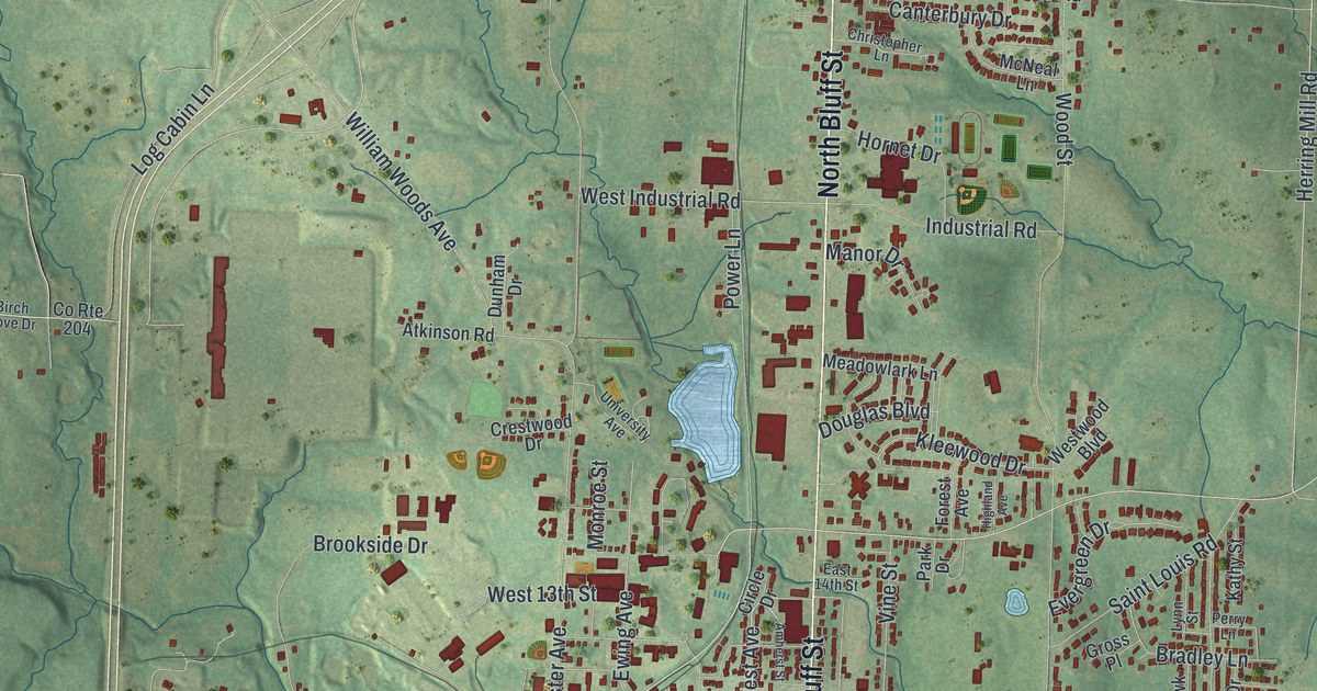
If you grew up in Fulton, went to Westminster College, or still have family on Bluff Street, this map is for you. It's a modern aerial view of Fulton in Callaway County, Missouri, made with modern data and given a vintage feel. Downtown sits in the middle, with Fulton City Hall marked in the center. Green hills and creeks wrap around the town on every side, and small blue lakes dot the edges.
Streets around Fulton City Hall
On this map you'll find Market Street, Bluff Street, Court Street, Jefferson Street, Westminster Avenue, William Woods Avenue, Churchill Road, State Street, Hockaday Avenue, West Ninth Street, Saint Louis Road, South Business 54, Cote Sans Dessein Road, Fulton City Hall, and more. Each red shape is a building, so zoom in on the preview and look for yours.
Why the town is named Fulton
Fulton didn't start out with that name. The State Historical Society of Missouri keeps an old file on how Missouri places got their names. It says the name was soon changed to Fulton. That was done to honor Robert Fulton, who built the first steamboat. So the big letters on the title panel carry his name, too.
Fulton homes on the National Register
Fulton also has old buildings that the country has chosen to protect. The National Register of Historic Places lists the Westminster College Gymnasium, added in 1968. It also lists the George Washington Carver School on Westminster. Some old homes are on the list as well. The Dr. George M. Willing House is at 211 Jefferson Street. The John Augustus Hockaday House is at 105 Hockaday Avenue. The Brandon-Bell-Collier House is at 207 West Ninth Street. All three of those streets are printed on the map.
Bring Bluff Street and Market Street home
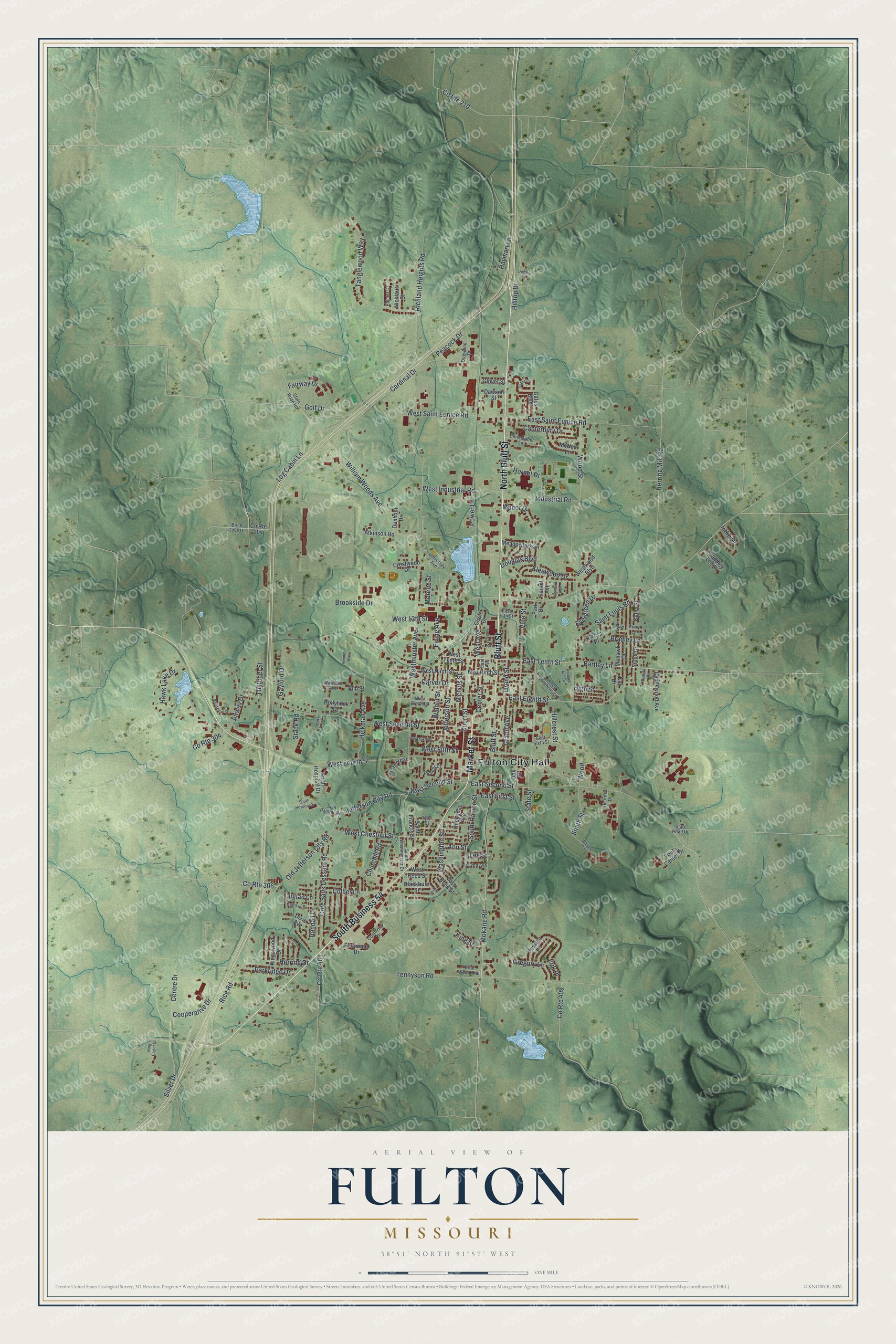
Created by KNOWOL in 2026, the print shows Fulton's rolling hills in soft green shaded relief. Buildings are dark red, and the lakes are pale blue. The cream title panel at the bottom reads "Aerial View of Fulton, Missouri" with the coordinates 38°51' North 91°57' West.
It fits a living room, a hallway, a home office or a dorm room. It's a good gift for someone who went to Westminster College, or for anyone who moved away and still thinks of the streets near Fulton City Hall. Open the preview and look for your own street. See sizes and frames for the Fulton map.