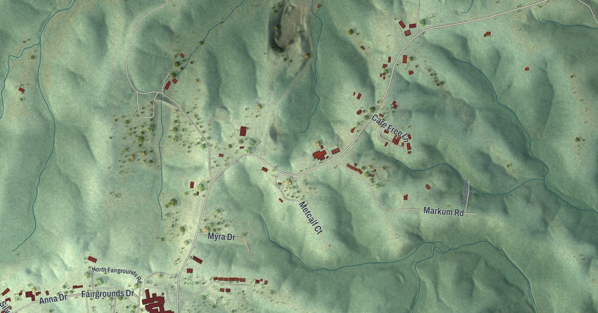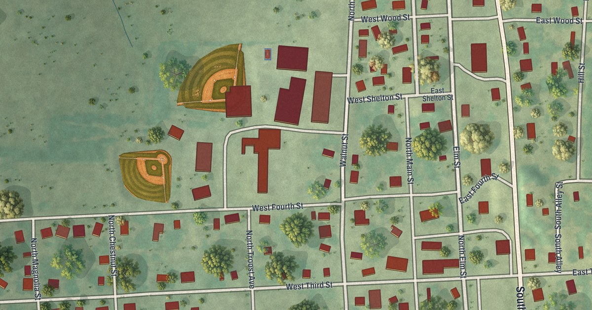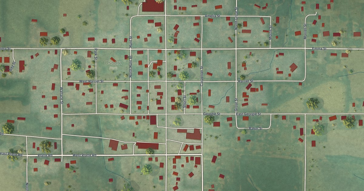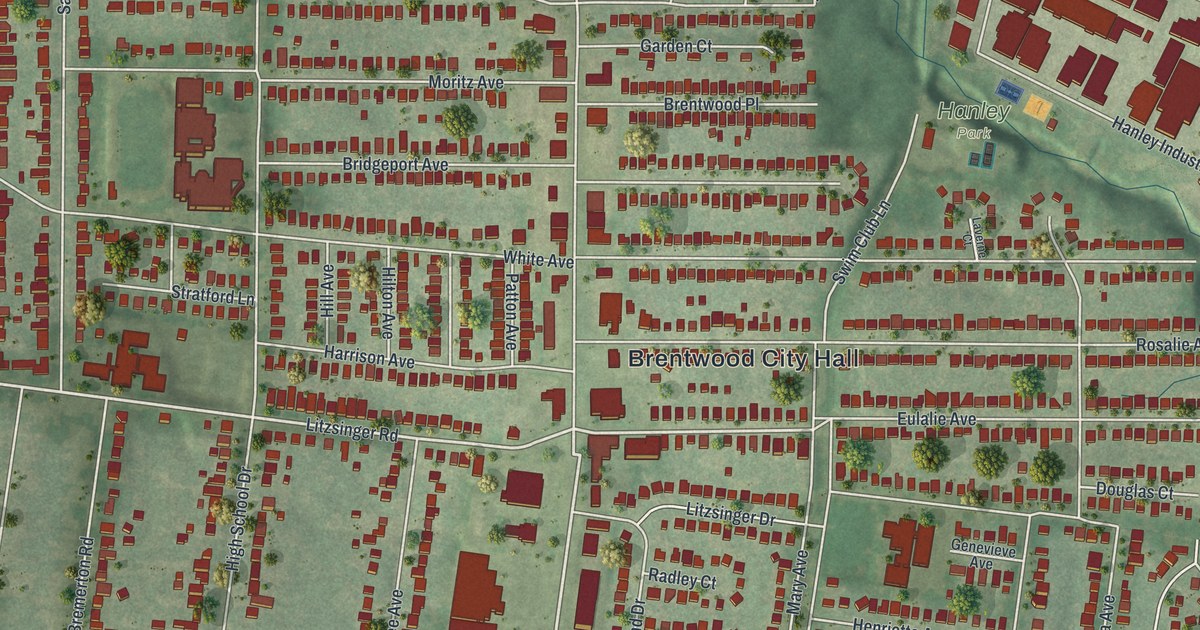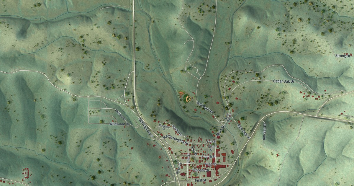
If you grew up in Gainesville, this print gives you a view of home. It's a modern aerial view of Gainesville in Ozark County, Missouri, made with modern data and a vintage feel. Green hills fill the sheet around a tight cluster of streets. Small red buildings trace the town and its winding roads.
Main Street, Harlin Drive and Gainesville's name
On this map you'll find Main Street, Old Highway 5, Old Highway 160, Harlin Drive, Ball Park Road, Elm Street, High Street, First Street, Second Street, Fourth Street, North Main Street, and more. Each red shape is a building, so zoom in on the preview and look for yours.
Gainesville shares its name with a town in Georgia. According to the Ramsay Place Names File, Gainesville was named for Gainesville, Georgia. The account says the county seat was laid out in 1841. On this modern view, you can pick out Main Street and the close-set blocks around it. They're small parts of a broad sheet filled with hills, roads and scattered homes.
Gainesville and the hills around home
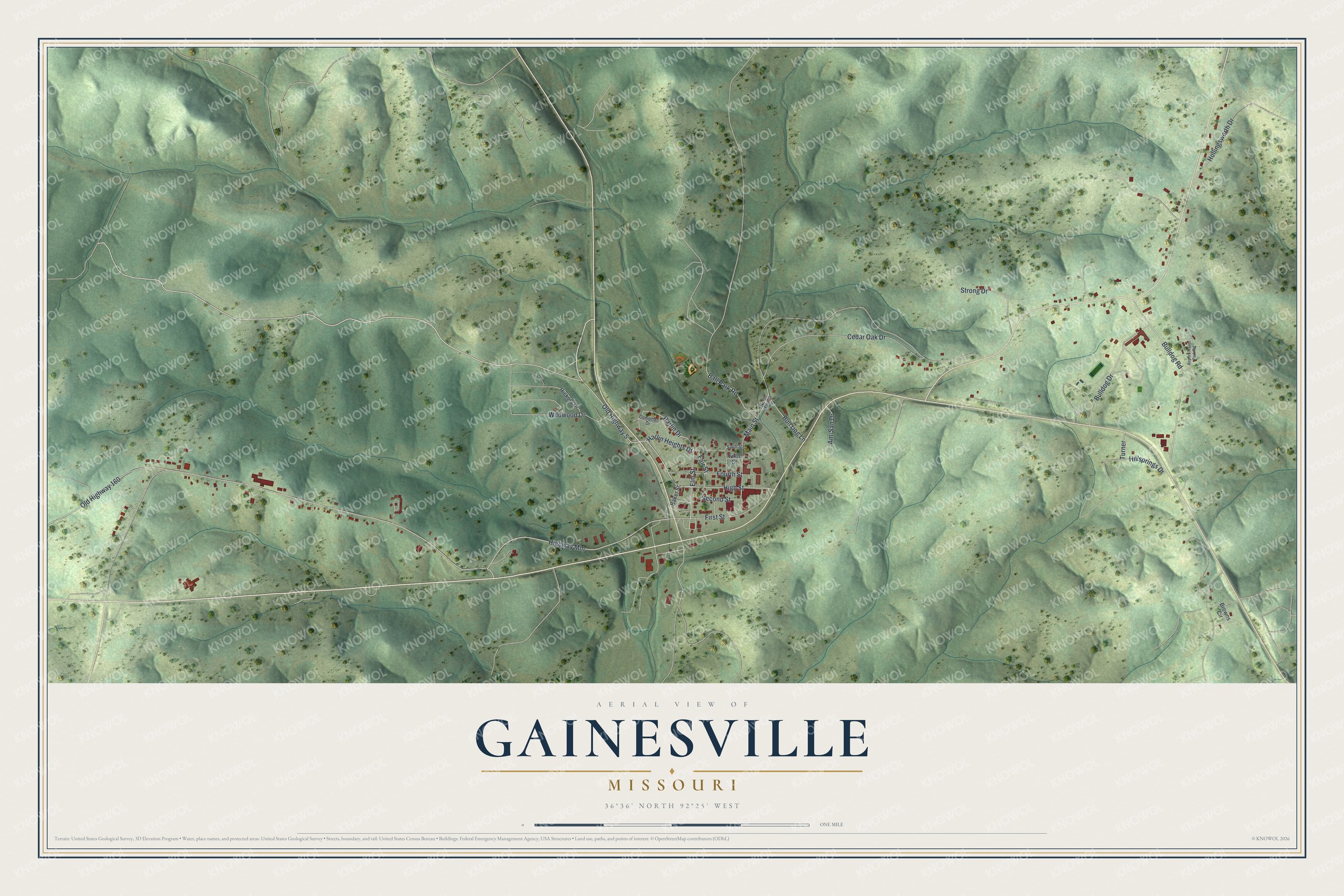
Created by KNOWOL in 2026, this print pairs soft green hills with red buildings and fine road lines. A cream border surrounds the view. The title panel reads AERIAL VIEW OF GAINESVILLE, MISSOURI, with 36°36' NORTH 92°25' WEST beneath it.
Hang it in a living room, office or entryway. It's a thoughtful gift for someone who grew up near Main Street and moved away. Open the preview to find a familiar block and see the hills around it. See sizes and frames for the Gainesville map.