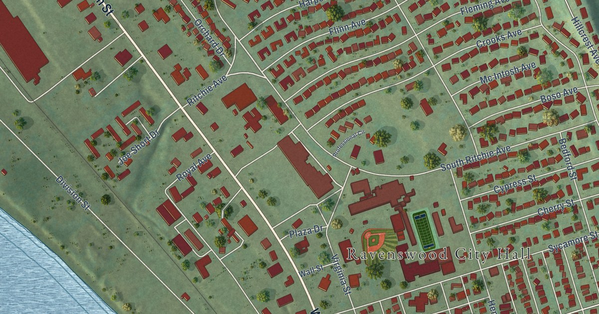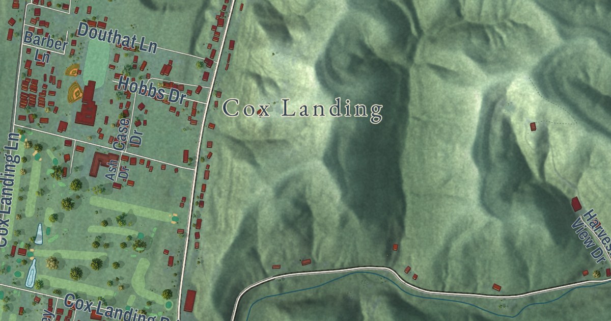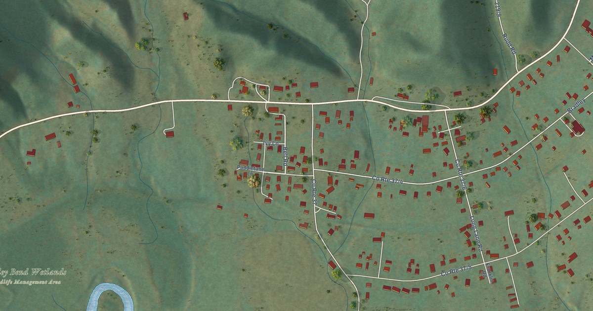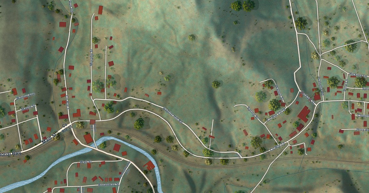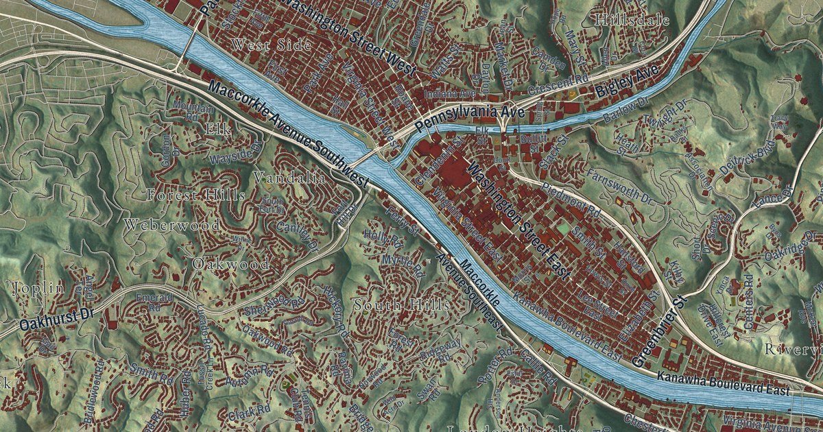
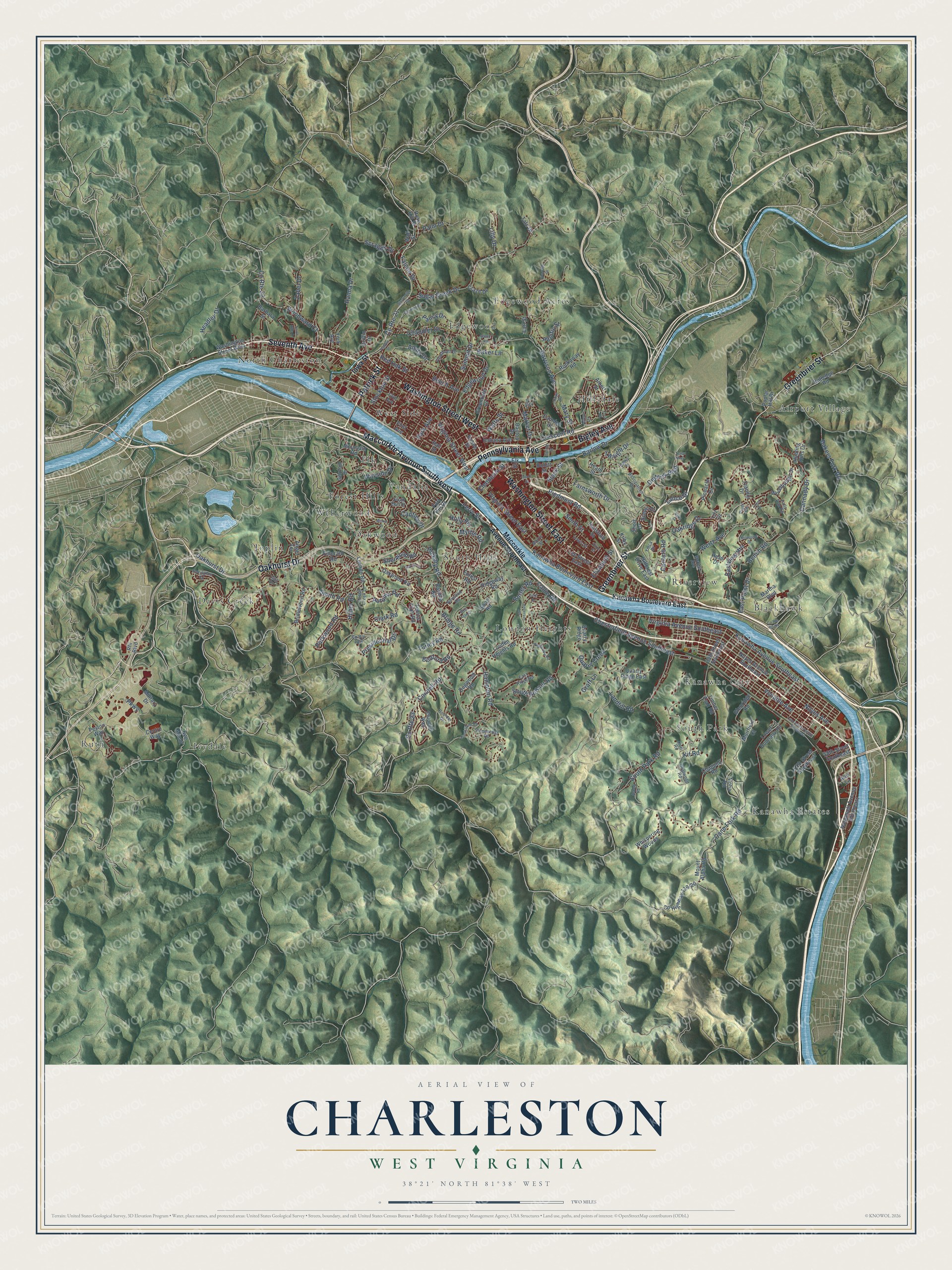
This beautifully detailed map of Charleston, West Virginia was created in 2026 using aerial imagery combined with modern topographical, census, street and landmark data. It’s a one-of-a-kind view of Charleston that combines accurate data with a vintage aesthetic. The map shows every building in its true location, many of the roads carry their names, and the shaded topographic relief shows the shape of the land.
Explore an aerial view of Charleston, West Virginia
On the map you’ll find Airport Village, Blackhawk, Davis Creek, Edgewood, Edgewood Acres, Elk, Forest Hills, Hillsdale, Ivydale, Joplin, Kanawha City, Kanawha Estates, and more. If you look closely you can even find your house accurately drawn in its correct location. Zoom in on the preview to look for yours.
Did you know this piece of Charleston, West Virginia history?
From the West Virginia Encyclopedia: "On September 13, 1862, the last real attempt to return Charleston to the South resulted in a hard-fought battle and hasty retreat by the federal troops."
Take a closer look at the Charleston map
Street and place names on the Charleston, West Virginia map
These names are printed on the map of Charleston, West Virginia.
Places: Airport Village, Blackhawk, Davis Creek, Edgewood, Edgewood Acres, Elk, Forest Hills, Hillsdale, Ivydale, Joplin, Kanawha City, Kanawha Estates, Loudon Heights, North Charleston, Oakwood, Riverview, Ruth, South Hills, South Park, Vandalia, Weberwood and West Side.
Streets and roads: Maccorkle Avenue Southwest, Washington Street West, Patrick Street, Greenbrier Street, Washington Street East, Seventh Avenue, Oakhurst Drive, Pennsylvania Avenue, Bigley Avenue, Kanawha Boulevard East, County Route 21, Eastview Heights.
More street names, A to Z
39th Street Southeast, 57th Street Southeast, 58th Street Southeast, Albert Street, Alex Lane, Allen Drive, Alpha Road, Amity Drive, Anderson Heights, Angel Terrace, Aspen Road, Association Drive, Autumn Road, Baker Lane, Bakers Fork Road, Banks Street, Barbara Street, Barlow Drive, Bedford Road, Beech Avenue, Bee Mount, Bench Road, Boulder Drive, Bridge Road, Bridlewood Road, Brookstone Road, Bullitt Street, Byus Drive, Callie Road, Camden Drive, Cane Fork Road, Cannady Drive, Cantley Drive, Carroll Road, Centers Road, Centre Way, Chandler Drive, Chappell Road, Charmac Drive, Chatwood Road, Chesterfield Avenue Southeast, Clark Road, Clendenin Street, Colonial Way, Connell Road, Cora Street, Cosmos Drive, County Route 22, County Route 23, Court Street, Craze Drive, Crescent Road, Crest Drive, Dayton Drive, Deitrick Boulevard, Dixie Street, Dogwood Road, Earl Street, East Point Drive, East Ridge Road, Edgewood Drive, Elizabeth Street, Elk Street, Emerald Road, Estill Drive, Falcon Drive, Falls Run Road, Farnsworth Drive, Ferry Street, Fifth Avenue, First Avenue, Forest Road, Fort Hill Drive, Fossil Creek Lane, Francis Drive, Gail Drive, Garrison Avenue, Glenridge Road, Gordon Drive, Graff Lane, Greendale Drive, Griffin Drive, Hall Street, Hampton Road, Hanna Drive, Hansford Street, Headley Drive, Heath Street, Hess Drive, Hickory Road, Hillcrest Drive East, Holly Road, Hope Road, Huber Road, Hunting Hills Drive, Indiana Avenue, Iowa Street, Jean Street, Kanawha Avenue Southeast, Kilby Street, Kit Road, Kori Road, Lancaster Avenue Southeast, Lance Drive, Landfill Road, Lee Street East, Lewis Street, Lilly Drive, Litz Drive, Louden Heights Road, Lower Donnally Road, Lucado Road, Maccorkle Avenue Southeast, Market Drive, Martha Boulevard, Mary Street, McKee Avenue, Military Drive, Moorland Drive, Morris Street, Mountain Road, Mount Alpha Road, Muirfield Court, Myrtle Road, North Hills Drive, Norwood Road, Nottingham Road, Noyes Avenue, Noyes Avenue Southeast, Oakridge Drive, Oakwood Road, Pacific Street, Palm Drive, Pansy Drive, Park Avenue, Parkway, Parkwood Road, Peyton Way, Piedmont Road, Pinnacle Drive, Piper Circle, Poplar Hill Drive, Porter Road, Presidential Drive, Quarry Creek, Quarry Ridge, Quarry Ridge East, Ravinia Road, Red Oak Street, Rhl Boulevard, Ridgeview Road, Ridgeway Road, Roane Street, Rockaway Road, Roosevelt Avenue Southeast, Rose Hill Drive, Rutledge Road, Scenic Drive, Scraggs Drive, Sherwood Road, Short Drive, Sissonville Drive, Slack Street, Smith Road, Smith Street, South Fort Drive, South Park Road, South Ruffner Road, Spring Street, Stockton Street, Stonehenge Road, Sugar Creek Drive, Summit Drive, Swan Road, Tate Drive, Temple Street, Tennis Club Road, Timber Trail Road, Tracy Way, Turley Road, Twilight Drive, Venable Avenue, Viewmont Drive, Virginia Avenue Southeast, Virginia Street East, Virginia Street West, Wall Street, Watts Street, Wayside Drive, Wertz Avenue, Whispering Woods, Wild Acre Drive, Wilkie Drive, Woodbridge Drive, Wood Road, Woodward Court, Ymca Drive, York Avenue, Zabel Drive.
See the Charleston, West Virginia map on a wall
The Charleston map as an 18 x 24 inch print in a black frame.

This beautifully detailed map of Charleston makes an attractive addition to your office, library, or den, and it can even be used to teach children the geography and history of the area. It also makes a great gift for anyone who grew up in Charleston or moved away. When you’re done exploring, click here to get your copy of the Charleston map.