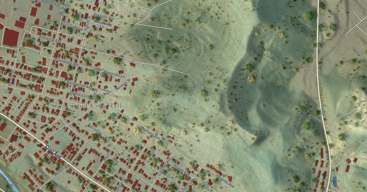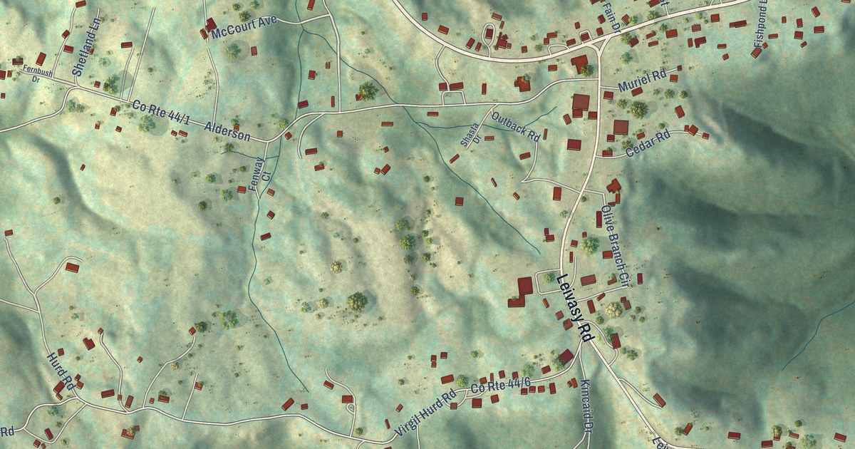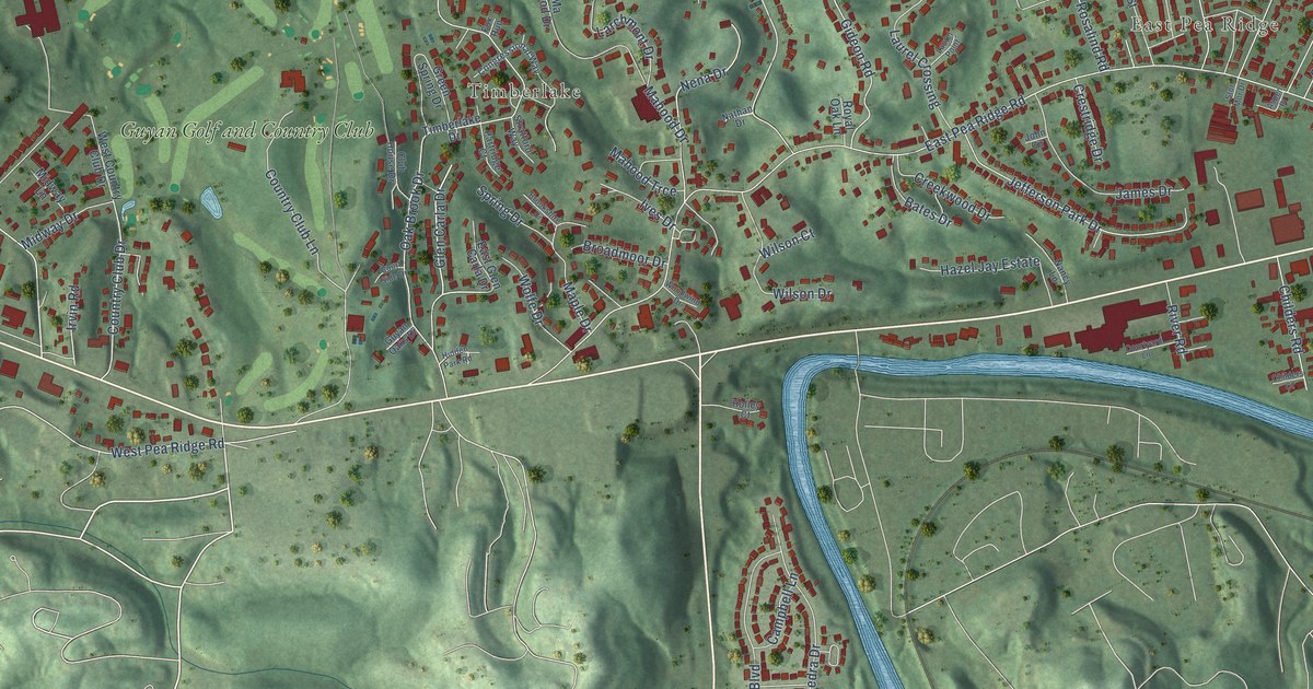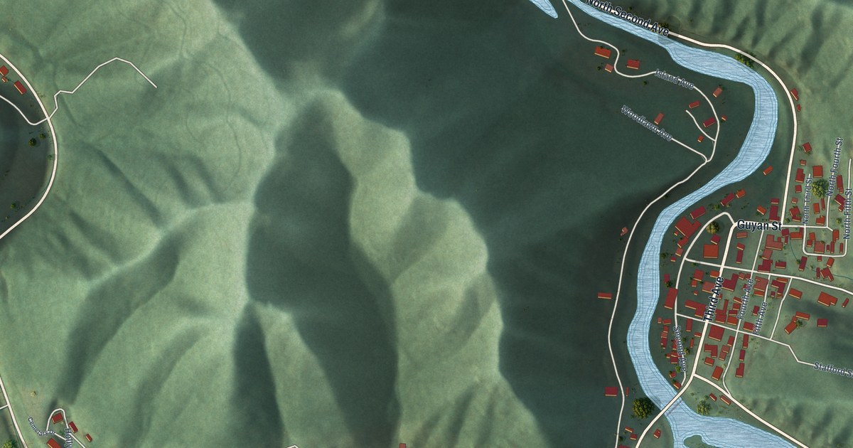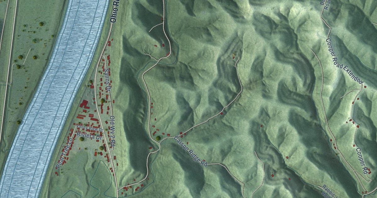
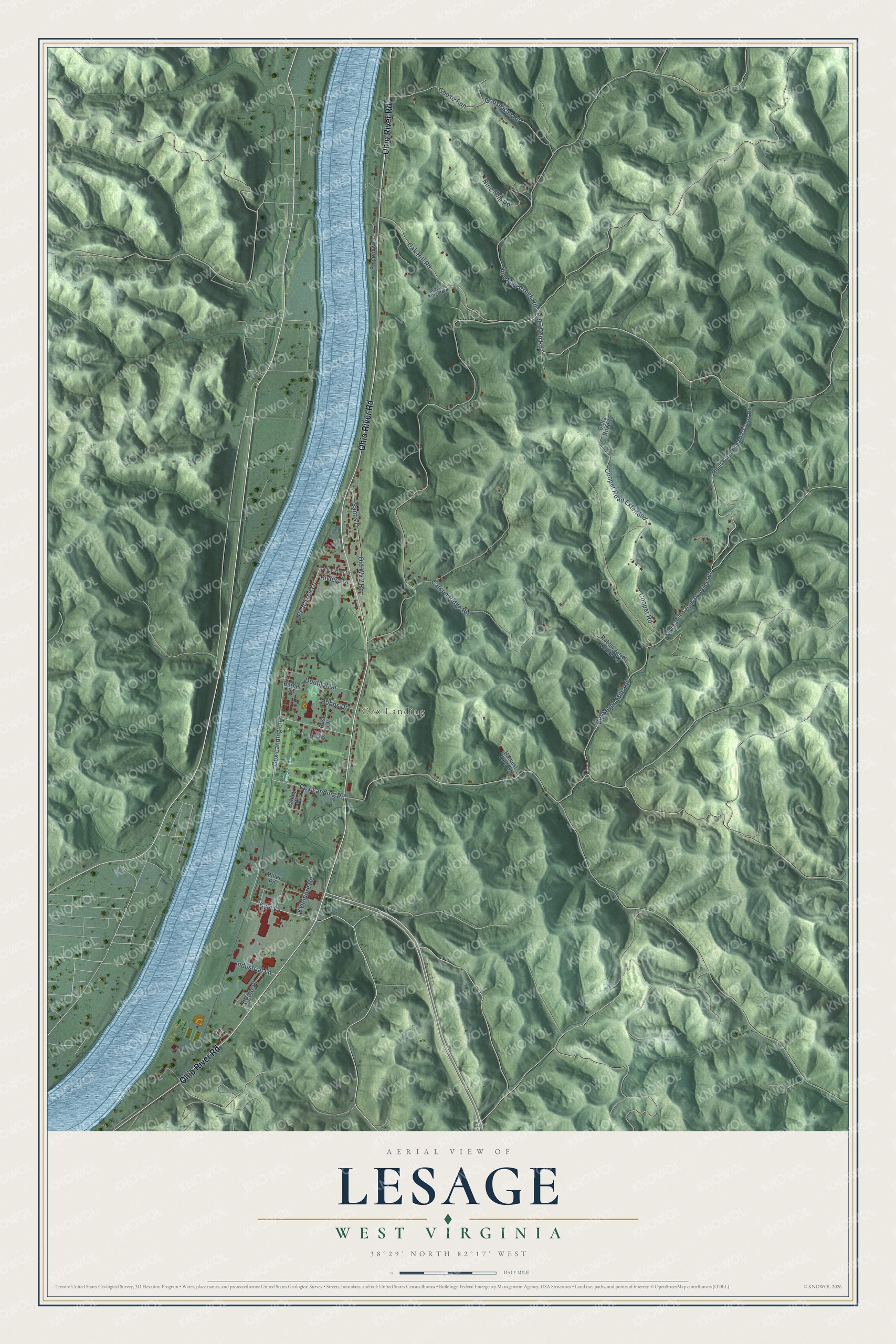
This beautifully detailed map of Lesage, West Virginia was created in 2026 using aerial imagery combined with modern topographical, census, street and landmark data. It's a modern aerial view of Lesage in Cabell County, West Virginia, that combines modern data with a vintage aesthetic. The roads feature printed names, and if you look closely you can find your exact house accurately shown in its correct location.
Explore an aerial view of Lesage, West Virginia
On this map you'll find Cox Landing, Ohio River Road, Kyle Lane, Deer Pen Road, Oak Hill Road, Nine Mile Road, Goose Run Road, Big Seven Mile Road, Pear Tree Lane, Nine Mile Creek Road, Cox Landing Road, Cooper Road, and more. Each red shape is a building, so zoom in on the preview and look for yours.
Here is a piece of Lesage history. Lesage owes its start to a broken steamboat shaft. In 1851 Jules Lesage, a bandbox manufacturer from Paris, was on his way to join Etienne Cabet's colony at Nauvoo, Illinois, when his Ohio River packet broke its wheel shaft. Tired of travel, he got off, bought 600 acres and built the Lesage House on the hillside. The rambling two story frame house had carved porch palings and figured wooden pillars that gave it the look of a steamboat. That's from the WPA guide to West Virginia.
Lesage is a community in Cabell County. The Census Bureau counted 1,290 people here in 2020.
Take a closer look at the Lesage map
Names on this map
These names are printed on this map.
Places: Cox Landing.
Streets and roads: Ohio River Road, Kyle Lane, Deer Pen Road, Oak Hill Road, Nine Mile Road, Goose Run Road, Big Seven Mile Road, Pear Tree Lane, Nine Mile Creek Road, Cox Landing Road, Cooper Road, Cox Landing Lane.
More street names, A to Z
Ash Drive, Barber Lane, Carson Ridge Road, Case Drive, Cedar Place, Cooper Road Extended, Delta Road 12, Douthat Lane, Goose Run, Hagley Drive, Harvest View Drive, Hobbs Drive, Industrial Lane, Kylemore Road, Miller Road, Old Wv 2 Road, Rabbit Jarrell Hollow Road, Right Fork Nine Mile Creek Road, Riverview Drive, Riviera Drive, Sanns Drive, Seven Mile Creek-Dry Ridge Road, Valley View Drive, Wayne Knight Road.
See it on a wall
The Lesage map as a framed print. Swipe for more.


Created by KNOWOL in 2026. The buildings are small red shapes, the roads carry their printed names, and shaded relief shows the shape of the land. The title panel reads "AERIAL VIEW OF LESAGE, WEST VIRGINIA" with 38°29' NORTH 82°17' WEST.
It suits a den, a classroom or a front hall, and it makes a gift for anyone with Lesage roots. Open the preview and find the block you know. See sizes and frames for the Lesage map.