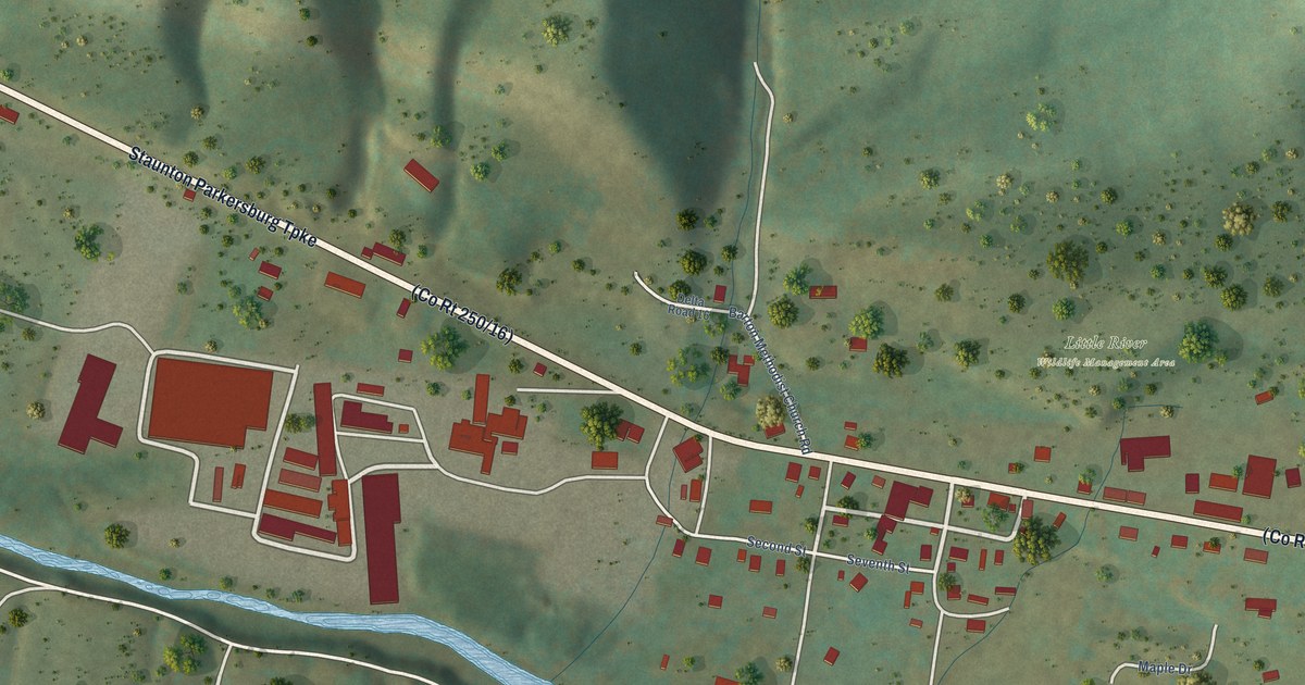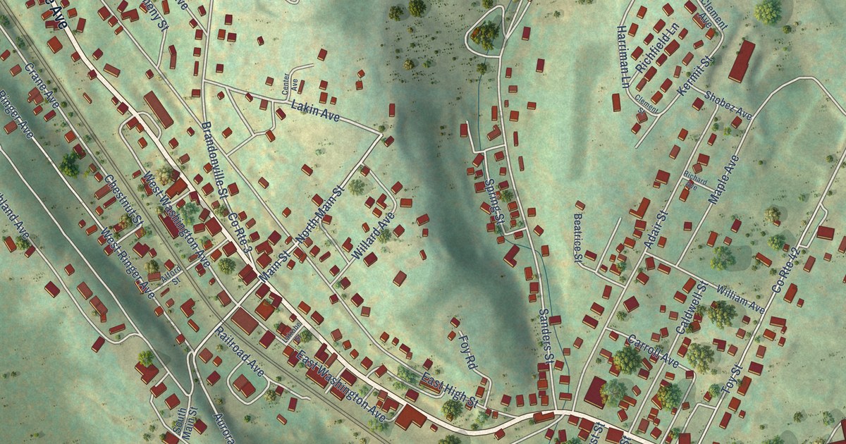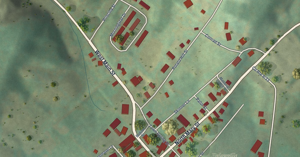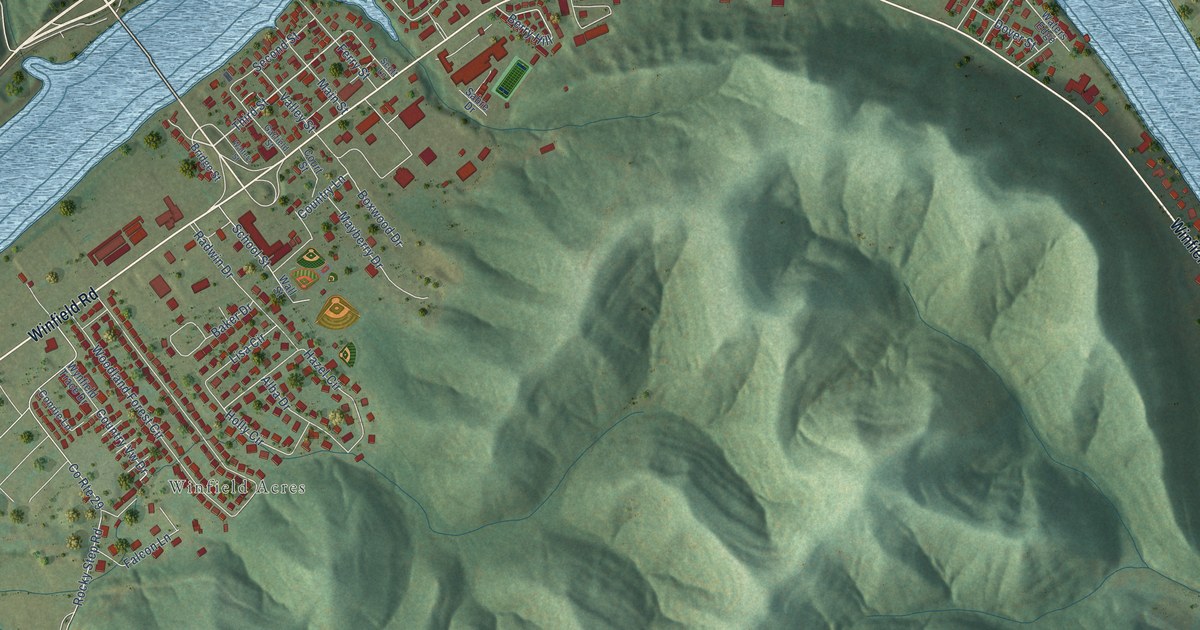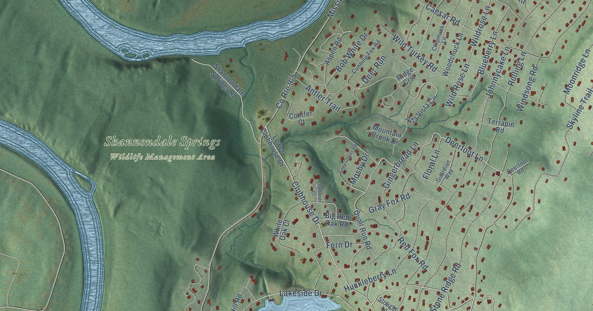
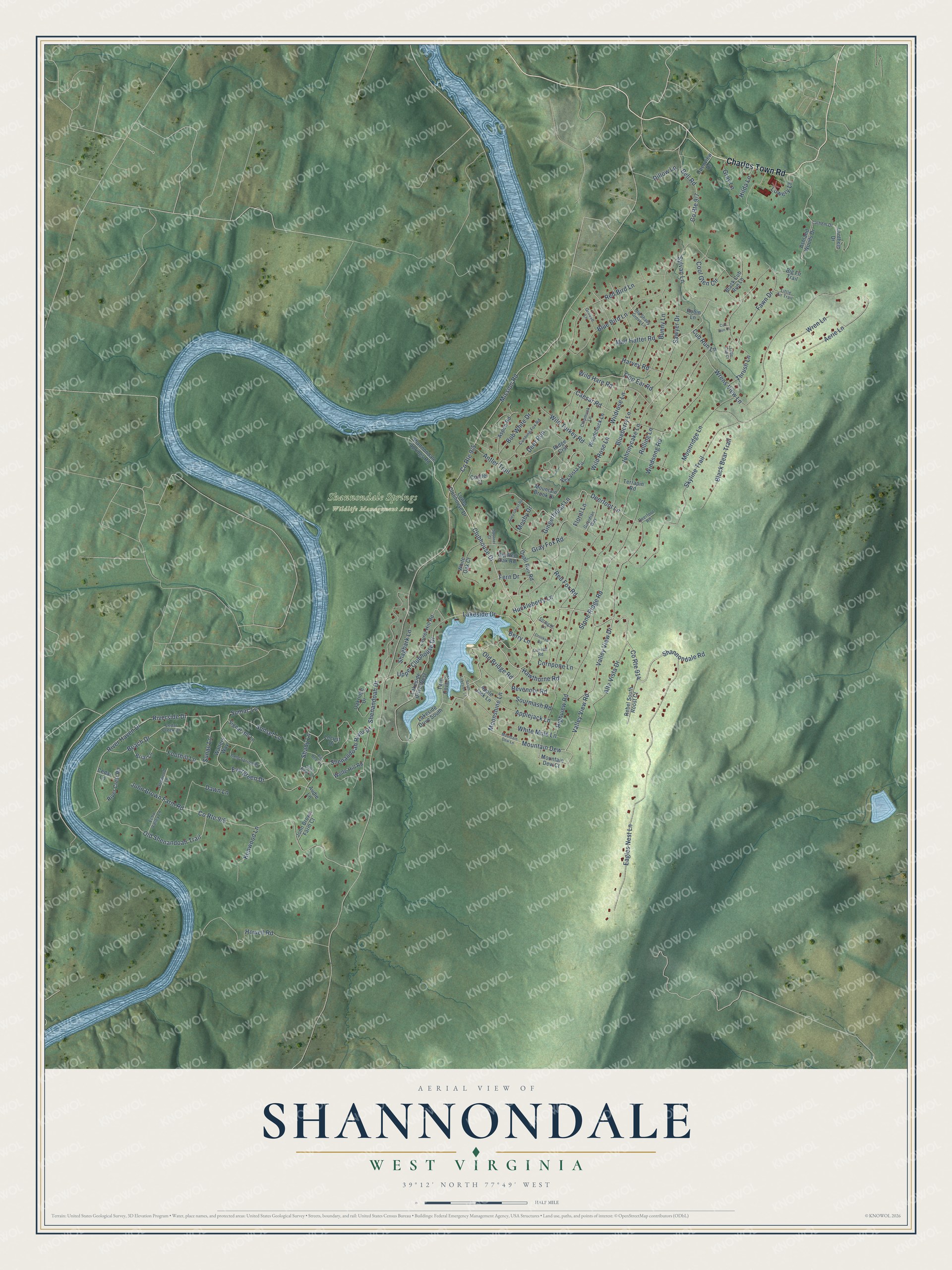
This beautifully detailed map of Shannondale, West Virginia was created in 2026 using aerial imagery combined with modern topographical, census, street and landmark data. It's a modern aerial view of Shannondale in Jefferson County, West Virginia, that combines modern data with a vintage aesthetic. The roads feature printed names, and if you look closely you can find your exact house accurately shown in its correct location.
Explore an aerial view of Shannondale, West Virginia
On this map you'll find Shannondale Springs Wildlife Management Area, Charles Town Road, Shannondale Road, Mountain Dew, Moonshine Lane, Valley View Drive, Valley View Road, Clubhouse Drive, Deerfoot Lane, Upper Clubhouse Drive, Mosby Drive, Mission Road, and more. Each red shape is a building, so zoom in on the preview and look for yours.
Every town has a first chapter, and Shannondale is no exception. Shannondale Springs opened in the summer of 1820 as a health spa at mineral springs on the Shenandoah River, about five miles from Charles Town. In its heyday, from 1840 to 1858, it hosted jousting at rings tournaments, fancy dress balls, fireworks, hot air balloon ascensions, horse races and political rallies. Presidents James Monroe, Andrew Jackson, Martin Van Buren and Millard Fillmore all visited the springs. That's from the West Virginia Encyclopedia.
Shannondale is a community in Jefferson County. The Census Bureau counted 3,487 people here in 2020.
Take a closer look at the Shannondale map
Names on this map
These names are printed on this map.
Places: Shannondale Springs Wildlife Management Area.
Streets and roads: Charles Town Road, Shannondale Road, County Route 914, Mountain Dew, Moonshine Lane, Valley View Drive, Valley View Road, Clubhouse Drive, Deerfoot Lane, Upper Clubhouse Drive, Mosby Drive, Mission Road.
More street names, A to Z
Aerie Lane, Alta Vista Circle, Alta Vista Drive, Antler Trail, Applejack Lane, Apple Jack Lane, Ashland Woods Drive, Aspen Road, Audie Lane, Beach Drive, Bell Road, Berry Lane, Big Bear Lane, Big Fir Trail, Big Red Oak Road, Black Bear Trail, Black Cub Run Lane, Blueberry Lane, Blue Bird Lane, Bob White Drive, Briar Lane, Bunny Lane, Caesar Road, Cedar Creek Drive, Cedar Lane, Chipmunk Lane, Cold Spring Drive, Conifer Court, Cool Glen Circle, Cornpone Lane, Crooked Road, Cub Run Court, Cub Run Lane, Cunning Fox Road, Curved Road, Dawn Lane, Deerfoot Road, Deer Run, Dillow Lane, Dogwood Lane, Eagles Nest Lane, Echo Valley Lane, Evergreen Drive, Fawn Drive, Fern Drive, Flop Ear Road, Floral Lane, Foothill Lane, Gingerbread Lane, Gray Fox Road, Gray Lane, Grey Ghost Road, Grouse Lane, Guardian Way, Harvey Road, Hawthorne Road, Highview Road, Hilda Lane, Howell Road, Huckleberry Lane, John Brown Farm Court, John Brown Farm Road, Johnnycake Lane, Kenwood Lane, Lakeside Drive, Lakeside Drive South, Lakeside Drive West, Lanthem Drive, Lathem Drive, Laurel Hill Road, Little Bear Lane, Little Cub Court, Little Fir Trail, Locust Drive, Lower Clubhouse Drive, Lowery Lane, Mad Hatter Road, Moonridge Lane, Mountain Brook Drive, Mountain Dew Court, Mountain Dew Lane, Oakridge Drive, Old Bridge Road, Old Shady Grove Lane, Old Shenandoah Trail, Openview Drive, Quail Run Road, Rebel South Roost Court, Red Bird Lane, Red Fox Road, Revenoor Road, Ridge Crst, River Crest Road, River Haven Drive, Riverside Drive, Robin Lane, Rolling Lane, Sawyer Drive, Shady Lane, Shagbark Lane, Shannondale Springs Road, Shenandoah Drive, Shenandoah River Drive, Signal Hill Lane, Skyline Trail, Sourmash Road, South Lakeside Court, Spooner Court, Stone Ridge Road, Straight Lane, Sumac Lane, Sunac Lane, Sunset Lane, Sylvan Lane, Terrapin Road, Thrush Lane, Twin Cove Court, Walters Way, White Mule Lane, White Oak Court, Wild Hare Road, Wildrose Lane, Wild Rose Lane, Wild Turkey Road, Windsong Road, Wolfe Hill Road, Woodchuck Lane, Wren Lane, Wrens View Lane.
See it on a wall
The Shannondale map as a framed print. Swipe for more.


Created by KNOWOL in 2026. The buildings are small red shapes, the roads carry their printed names, and shaded relief shows the shape of the land. The title panel reads "AERIAL VIEW OF SHANNONDALE, WEST VIRGINIA" with 39°12' NORTH 77°49' WEST.
Hang it in the hallway, the office or the cabin, or give it to someone who left Shannondale and still calls it home. Open the preview and look for a street you know. See sizes and frames for the Shannondale map.