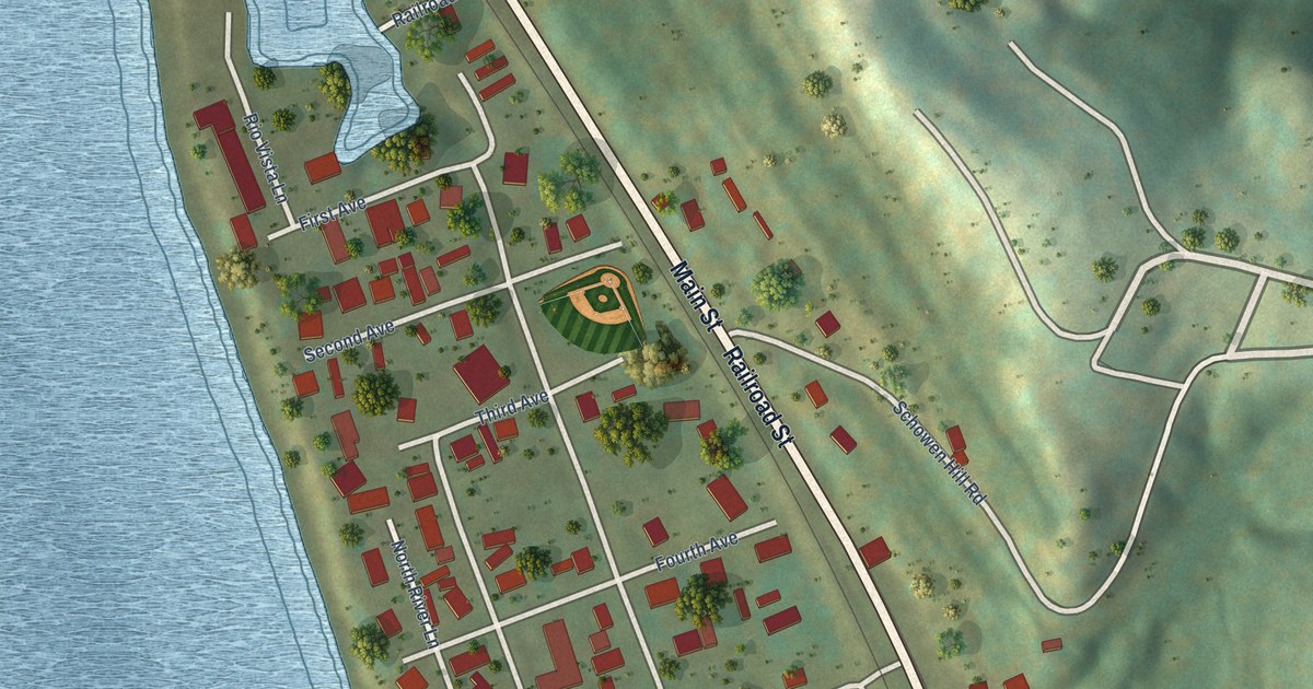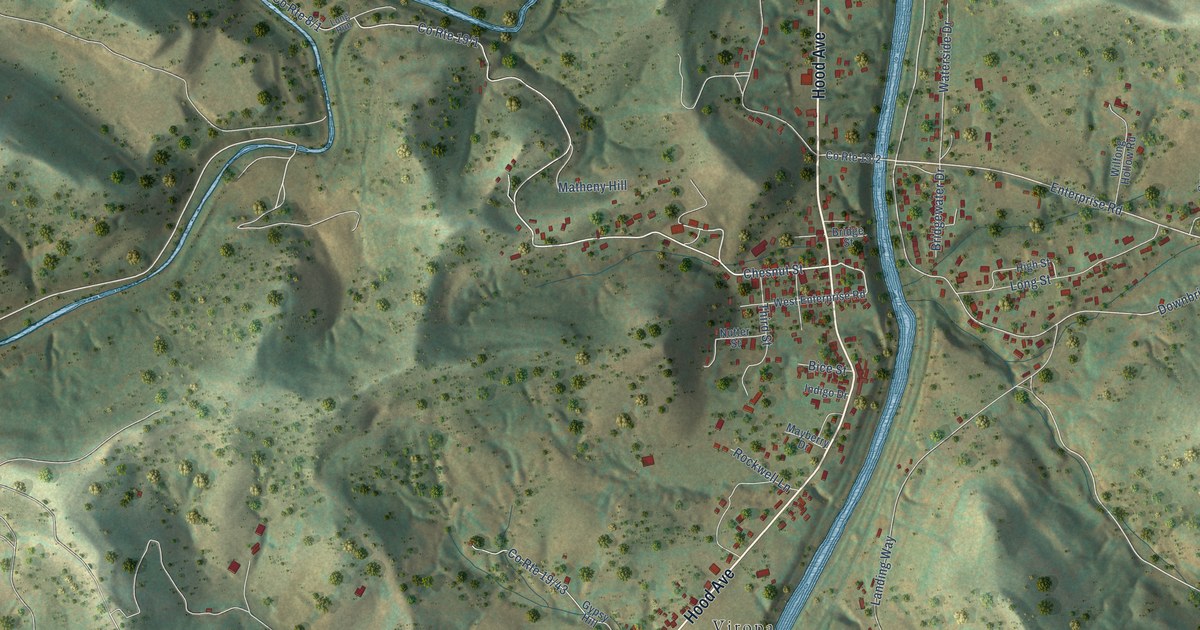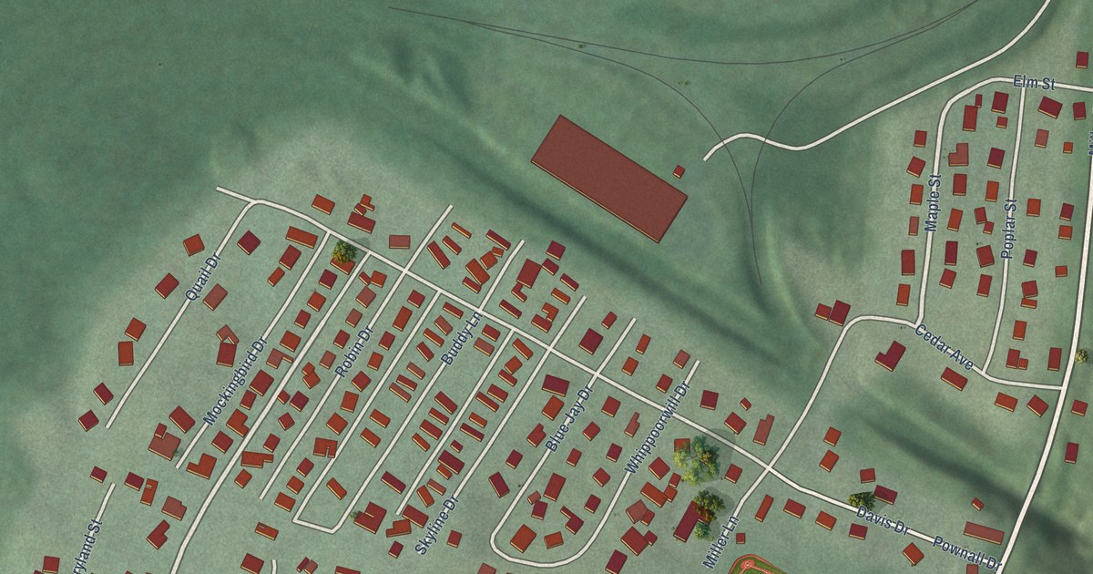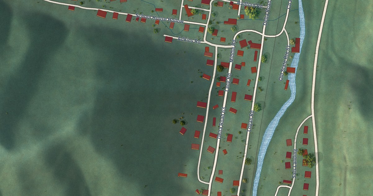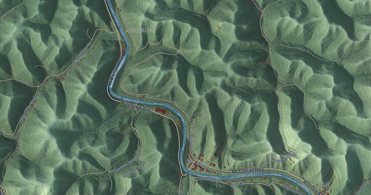
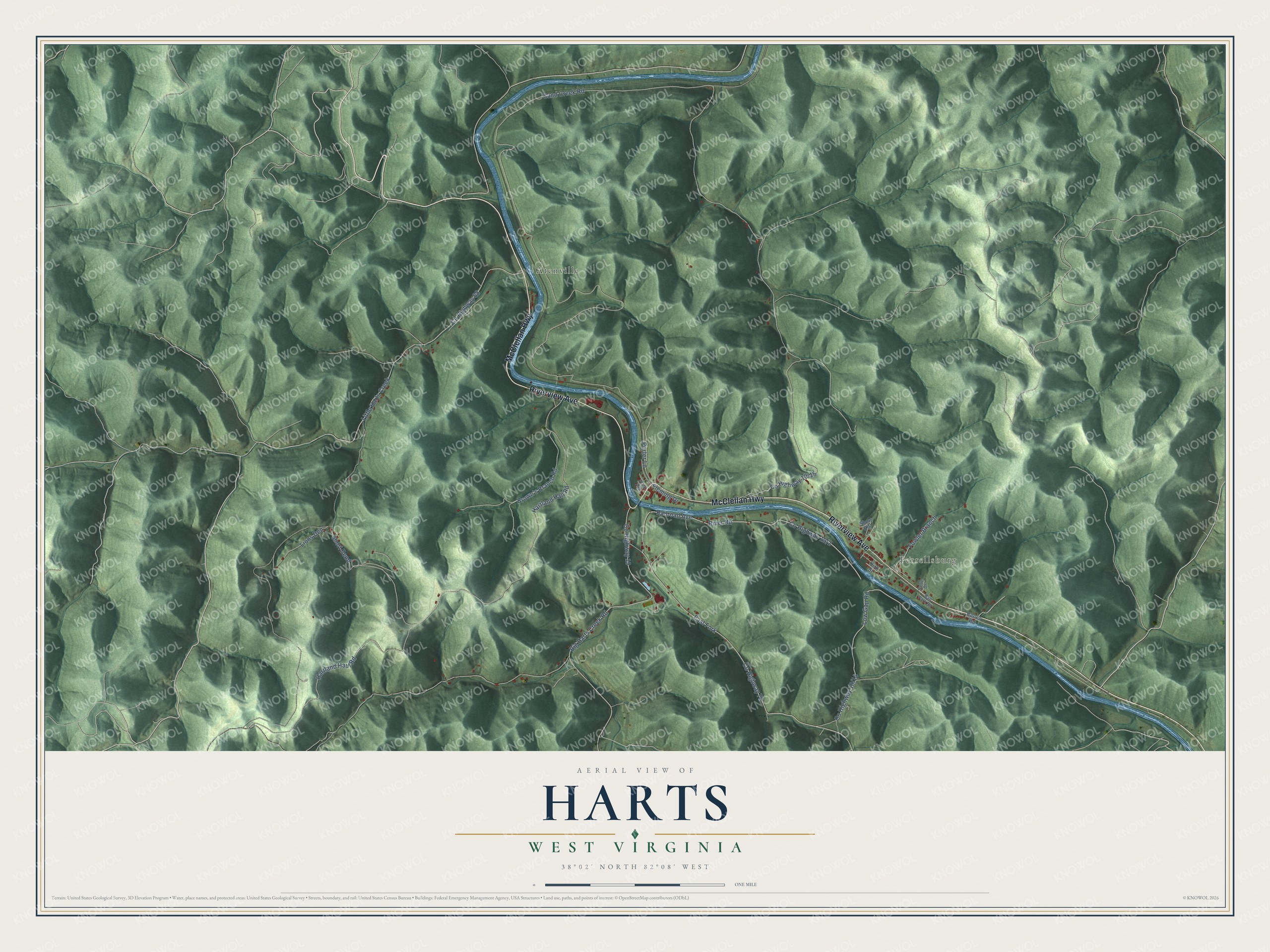
This beautifully detailed map of Harts, West Virginia was created in 2026 using aerial imagery combined with modern topographical, census, street and landmark data. It's a modern aerial view of Harts in Lincoln County, West Virginia, that combines modern data with a vintage aesthetic. The roads feature printed names, and if you look closely you can find your exact house accurately shown in its correct location.
Explore an aerial view of Harts, West Virginia
On this map you'll find Ferrellsburg, Atenville, Riverview Avenue, McClellan Highway, Brown's Branch Road, Co Highway 70, Sand Creek Road, Hartland Haul Road, Railroad Avenue, Co Highway 19/2, River Road, East Fork, and more. Each red shape is a building, so zoom in on the preview and look for yours.
Harts has a story worth telling. An 1896 local history said Harts Creek was named for Stephen Hart, a quiet deer hunter who built a cabin at the forks of the creek, cured venison known for miles around, and then moved on west. Local historian Brandon Ray Kirk notes the creek was already on a map printed before 1824, so the name may be older. One early account says the creek was named for the harts, or stags, that were plentiful there. That's from the Brandon Ray Kirk history blog.
Harts is a community in Lincoln County. The Census Bureau counted 573 people here in 2020.
Take a closer look at the Harts map
Names on this map
These names are printed on this map.
Places: Ferrellsburg and Atenville.
Streets and roads: Riverview Avenue, McClellan Highway, Brown's Branch Road, County Highway 70, Sand Creek Road, Hartland Haul Road, Railroad Avenue, River Road, East Fork, County Highway 68, Little Harts Creek, Big Harts Creek Road.
More street names, A to Z
Ball Park Road, County Highway 19, Fleming Drive, Fowler Branch, Hartland Hall Road, Kirk Street, Lions Den, Low Gap Road, Porter Lane, Renes Road, Sallie Drive, Short Bend, Short Hill, Ward Avenue.
See it on a wall
The Harts map as a framed print. Swipe for more.


Created by KNOWOL in 2026. The buildings are small red shapes, the roads carry their printed names, and shaded relief shows the shape of the land. The title panel reads "AERIAL VIEW OF HARTS, WEST VIRGINIA" with 38°02' NORTH 82°08' WEST.
It looks right in a kitchen, an office or a den, and it's a gift for anyone who grew up in Harts or moved away. Open the preview and find your street. See sizes and frames for the Harts map.