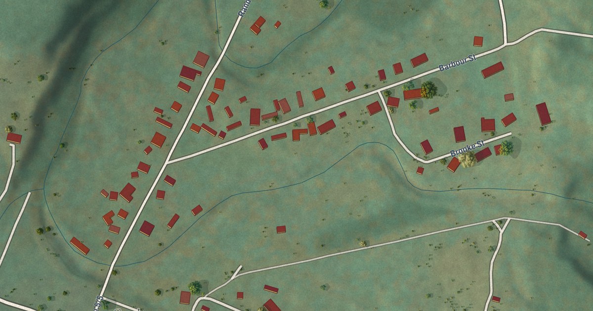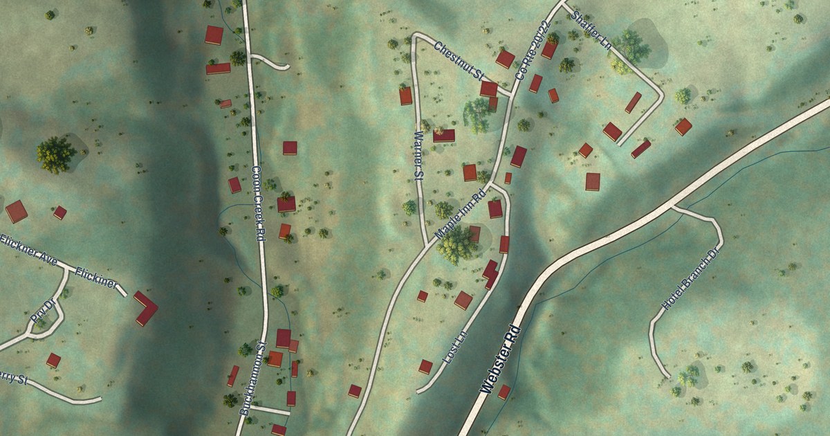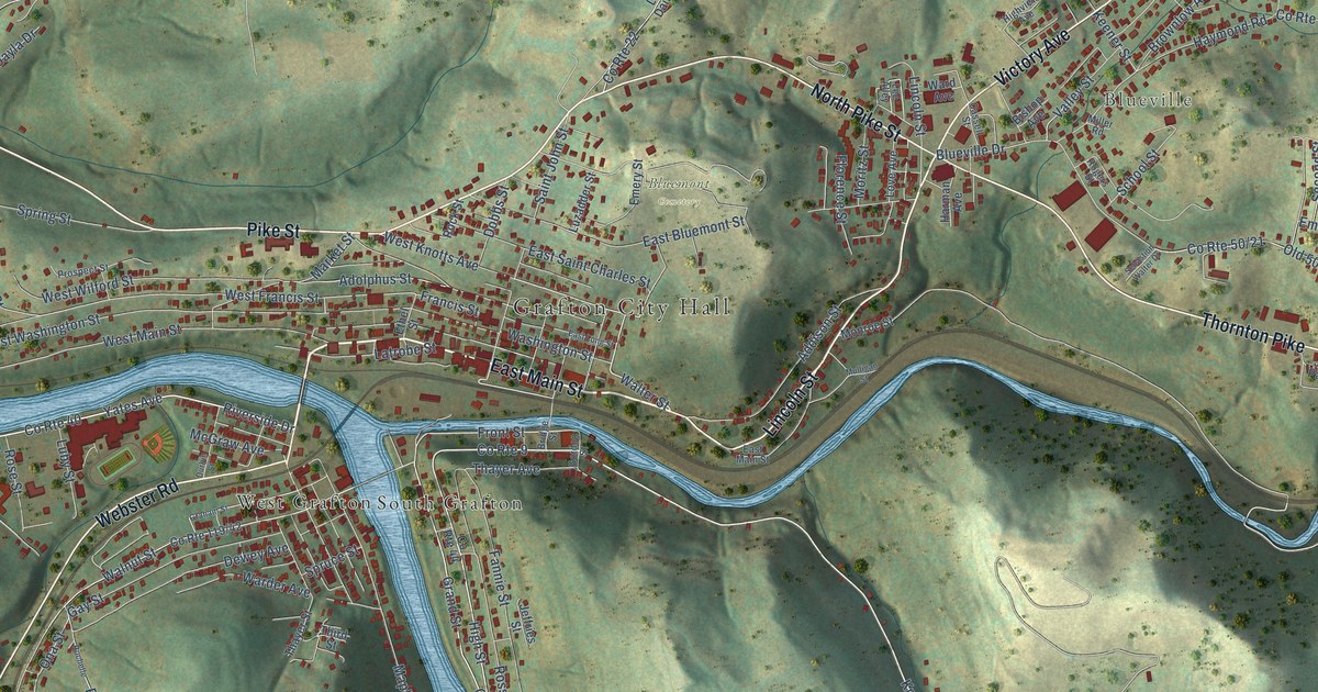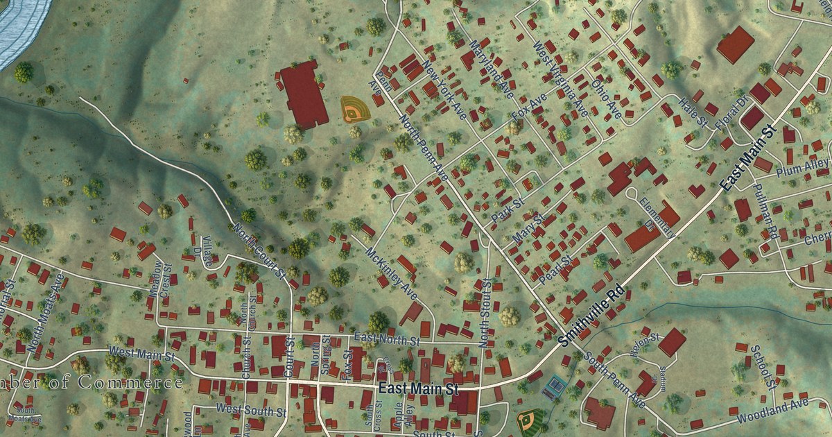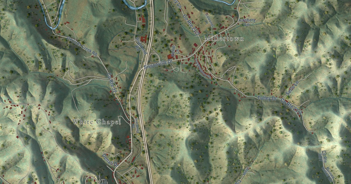
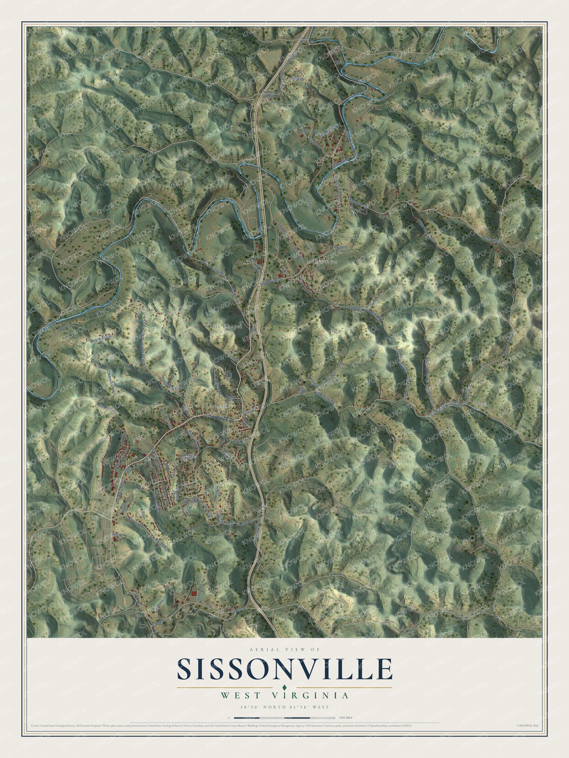
This beautifully detailed map of Sissonville, West Virginia was created in 2026 using aerial imagery combined with modern topographical, census, street and landmark data. It's a modern aerial view of Sissonville in Kanawha County, West Virginia, that combines modern data with a vintage aesthetic. The roads feature printed names, and if you look closely you can find your exact house accurately shown in its correct location.
Explore an aerial view of Sissonville, West Virginia
On this map you'll find Legg, Pocatalico, Millertown, White Chapel, Sissonville Drive, Old US Highway 21, Legg Fork Road, Call Road, Grapevine Road, Valley Brook Drive, Clay-Lick, Happy Hollow, and more. Each red shape is a building, so zoom in on the preview and look for yours.
Sissonville has a story worth telling. Sissonville stands on land that once belonged to John Sisson, who laid out the town and sold the lots himself. The first saw mill in the district, built by John Parsons, stood on the site where the town grew, and the first merchant in Sissonville was a man named Reynolds. By 1911 Sissonville had Humphreys Flouring Mill, five stories tall counting the basement, which could grind 100 barrels of flour a day. That's from the History of Charleston and Kanawha County.
Sissonville is a community in Kanawha County. The Census Bureau counted 4,084 people here in 2020.
Take a closer look at the Sissonville map
Names on this map
These names are printed on this map.
Places: Legg, Pocatalico, Millertown and White Chapel.
Streets and roads: Sissonville Drive, County Route 21, Old US Highway 21, Legg Fork Road, Call Road, Grapevine Road, Valley Brook Drive, Clay-Lick, Happy Hollow, Clearview Heights, White Oak Drive, Maple Drive.
More street names, A to Z
Abb Lane, Agee Road, Amsbury Lane, Annabelle Lane, Beane Ridge, Bluebird Lane, Boyz Lane, Buzzard Hollow Run, Capital Drive, Circle Street, Clegg Fork Road, Coleenas Lane, Coolbrook Drive, County Route 29, County Route 32, County Route 33, County Route 36, Crimson Oaks Drive, Dawson Road, Denali Drive, Derricks Creek Road, Ferrell Drive, Fieldstone Lane, Fleetwood Lane, Forest Ridge Road, Gibson Kees Way, Gracewood Road, Grant Drive, Hickory Drive, Hugart Hollow Road, Kanawha Farm Circle, Kanawha Two Mile Road, Kingsway Lane, Lakeland Drive, Lakewood Drive, Lariat Drive, La Siesta Terrace, Legg Fork, Legg Star Route, Longmeadow Drive, Mainville Lane, Meg Drive, Millan Creek Road, Miller, Nellie Lane, Newberry Lane, Old Mill Road, Pinewood Drive, Potato Lane, Presson Drive, Reed Drive, Rena Drive, Riverbend Road, Rocky Hollow, Second Creek Road, Serls Lane, Shirkey Lane, Sisson Lane, Sisson Terrace, Spring Branch, Springwood Circle, Sugar Maple Road, Teresa Lane, Tolley Drive, Tuppers Creek Road.
See it on a wall
The Sissonville map as a framed print. Swipe for more.


Created by KNOWOL in 2026. The buildings are small red shapes, the roads carry their printed names, and shaded relief shows the shape of the land. The title panel reads "AERIAL VIEW OF SISSONVILLE, WEST VIRGINIA" with 38°30' NORTH 81°38' WEST.
It looks right in a kitchen, an office or a den, and it's a gift for anyone who grew up in Sissonville or moved away. Open the preview and find your street. See sizes and frames for the Sissonville map.