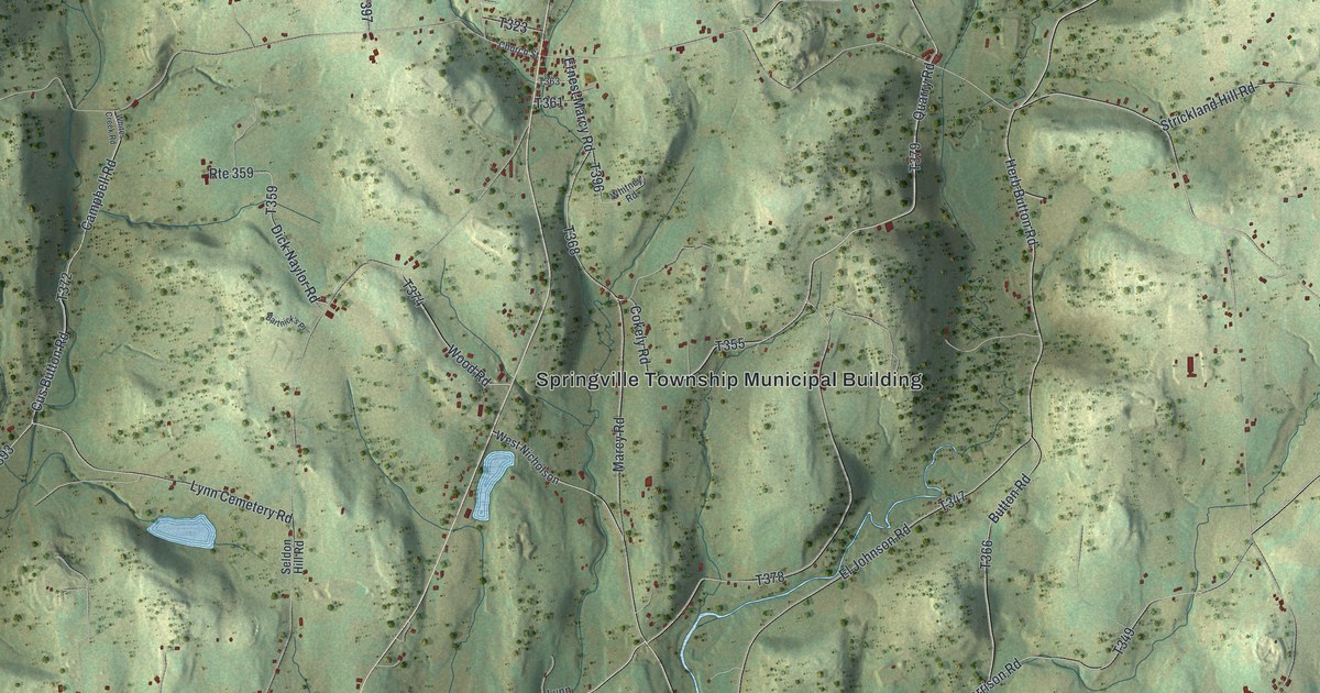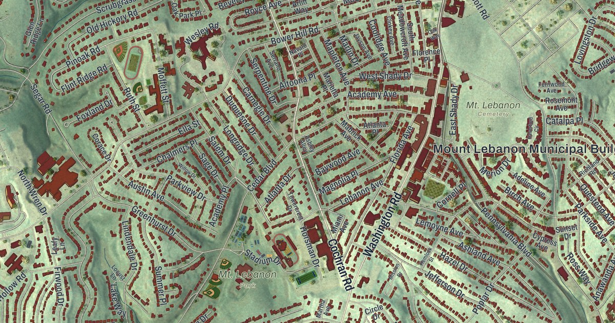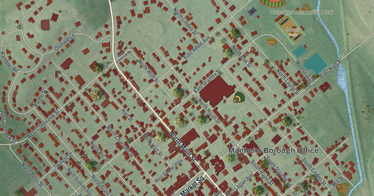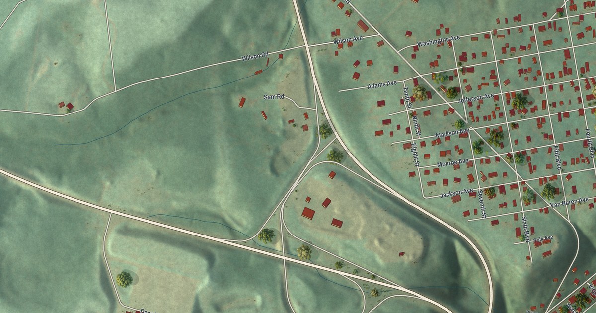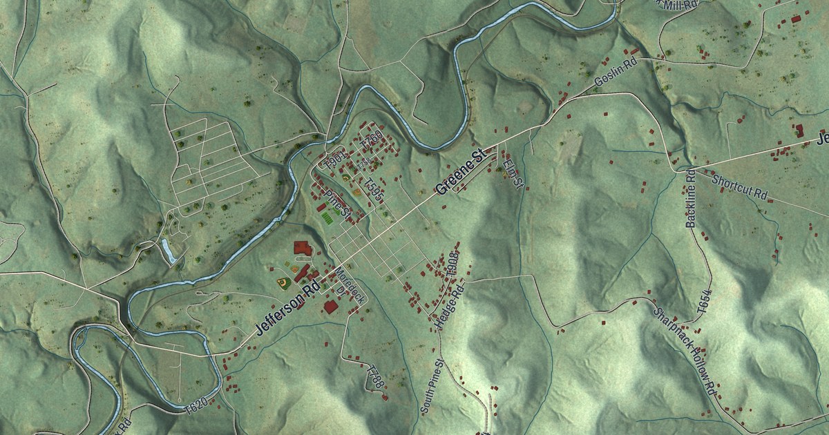
If you grew up in Jefferson Township, look for your family's road on this print. It's a modern aerial view of Jefferson Township in Greene County, Pennsylvania, made with modern data and a vintage feel. Green hills fill the sheet, with blue streams and red buildings between them. Dry Tavern, Pitt Gas, and Teagarden Homes are among the names you'll find.
Jefferson Road and the township's early homes
On this map you'll find Jefferson Road, Greene Street, Rte 88, Dry Tavern, Pitt Gas, Teagarden Homes, Braden Plan, Burson Plan, Pine Street, Clarksville Road, Sugar Camp Road, and more. Each red shape is a building, so zoom in on the preview and look for yours.
The 1888 History of Greene County tells how homes and a mill took root here. Thomas Hughes Jr. moved to where the town of Jefferson now stands in 1776. The book describes a dense pine forest, home to bears, wolves, and deer. Colonel Heaton built a cabin a little west of Hughes. Soon after he came, he built a mill near the site now known as Horn's Mill. Jefferson Road and Pine Street are both printed on this map, and the state marker for Monongahela College, the first Baptist college in western Pa., stands where they meet. The Hughes House on Hatfield St. in Jefferson Township is listed on the National Register of Historic Places.
Keep Dry Tavern and Jefferson close
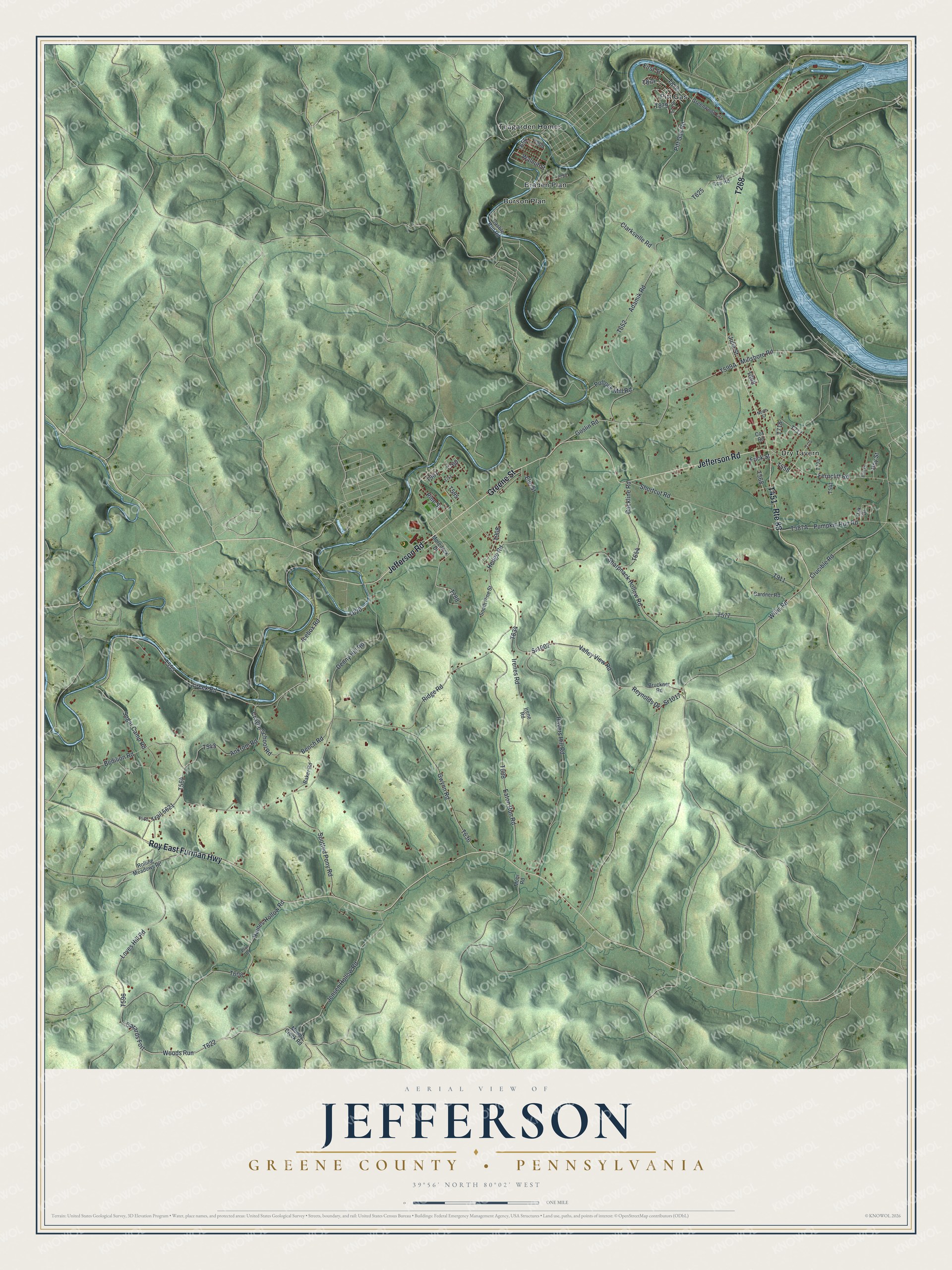
Created by KNOWOL in 2026, this print pairs shaded green hills with blue water and small red buildings. A cream border surrounds the view. The title panel reads AERIAL VIEW OF JEFFERSON, GREENE COUNTY, PENNSYLVANIA, with 39°56' NORTH 80°02' WEST below.
Hang it in a living room, home office, or entryway. It's a gift for someone who grew up in Dry Tavern or still has family nearby. Open the preview and spend a little time finding the roads you know. See sizes and frames for the Jefferson, Greene County map.