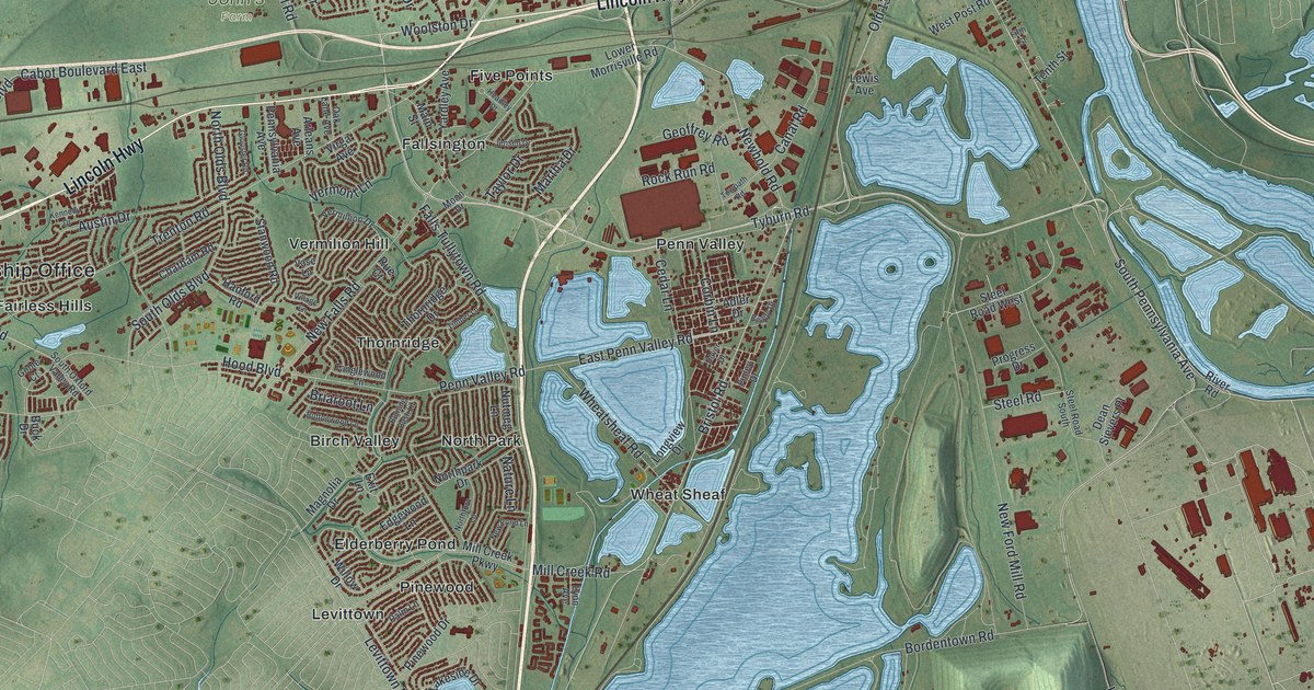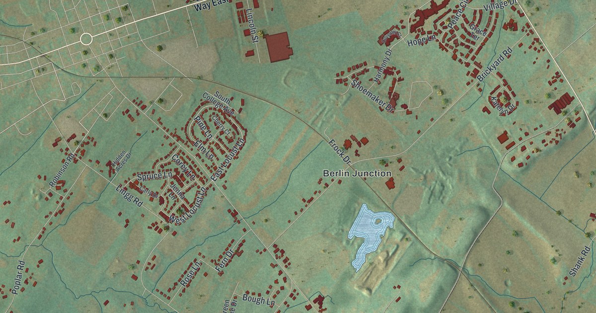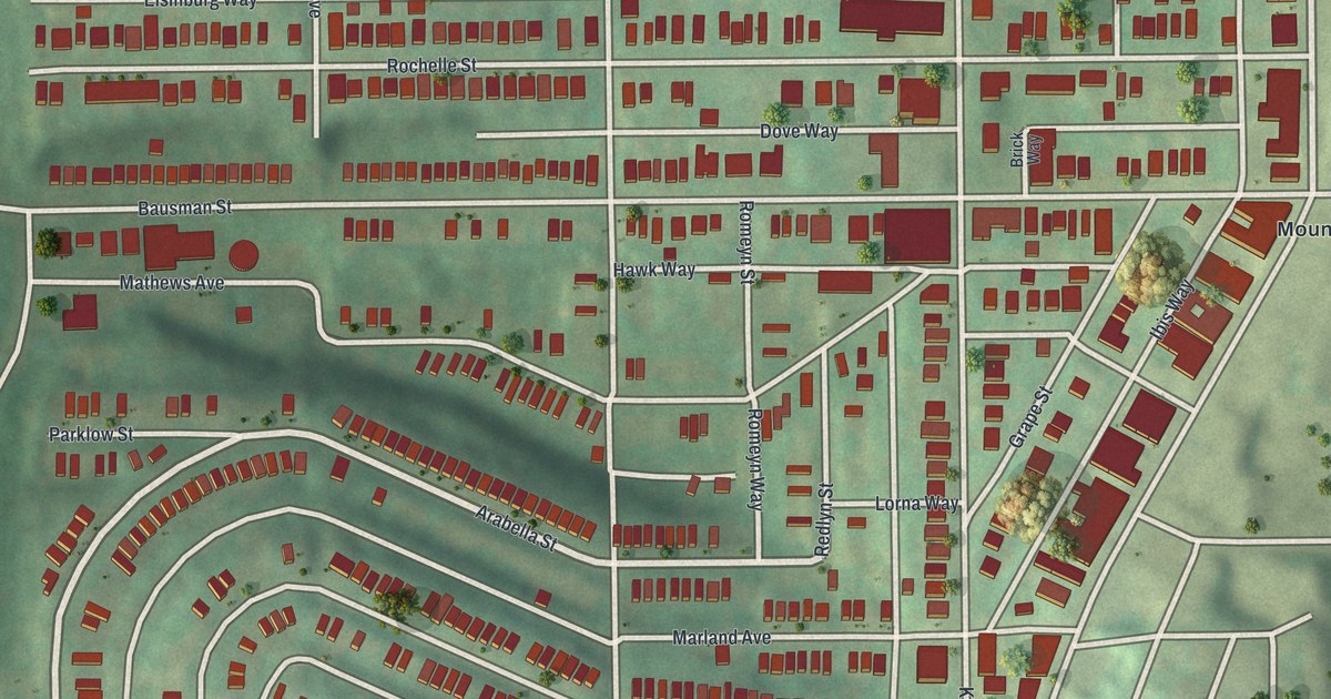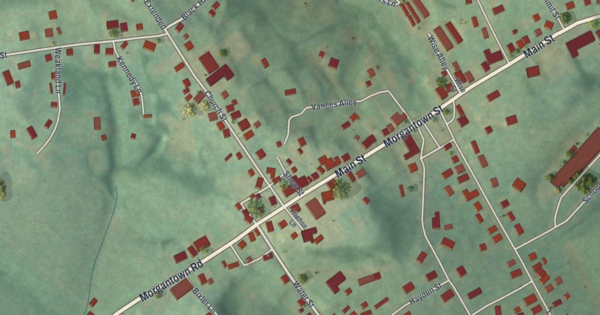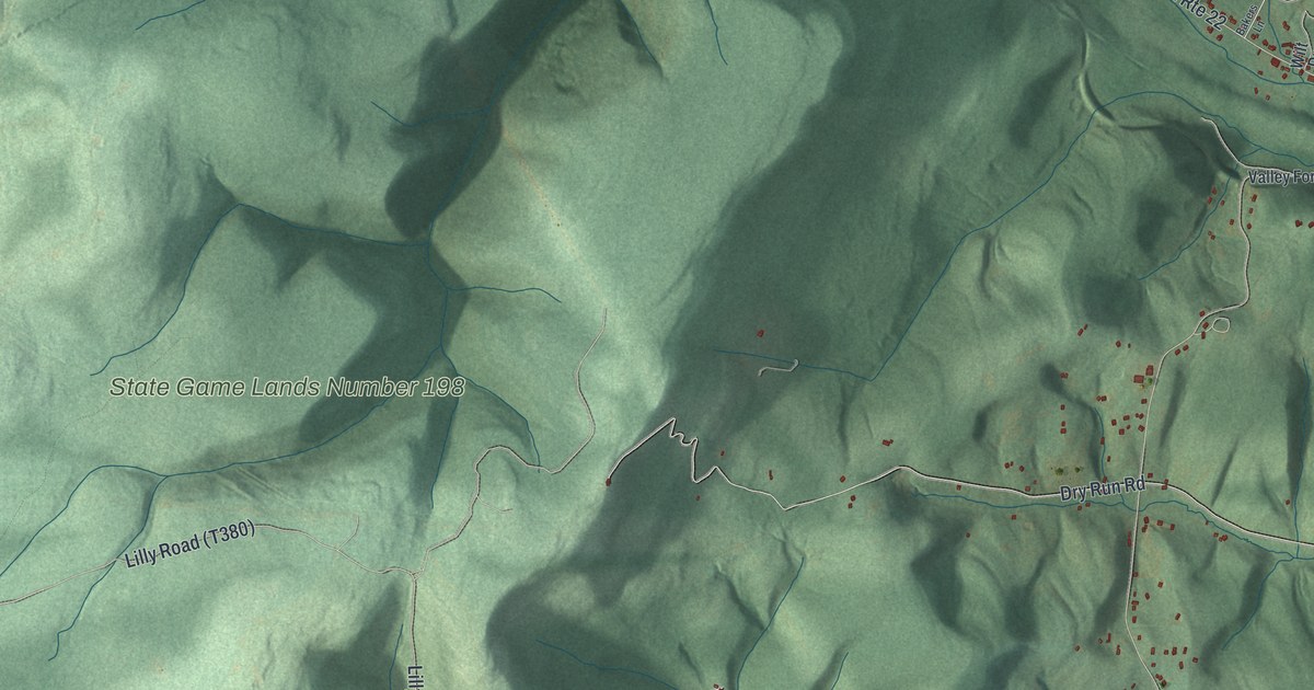
If you grew up along Johnstown Road or out near Blue Knob, this map shows the hills you know. It's an aerial view of Juniata Township in Blair County, Pennsylvania, made from modern data and given a vintage look. Green ridges and deep hollows fill the sheet. Small blue ponds sit in the valleys, and red shapes mark the homes along the back roads.
Plane No. 6 of the Portage Railroad on Old Rte 22
On this map you'll find Old Rte 22, Johnstown Road, Blue Knob, State Game Lands Number 198, Lilly Road, Foot of Ten Road, Burket Hollow Road, Sleigh Hollow Road, Poplar Run Road, Dry Run Road, Knob Run Road, Valley Forge Road, Chappell Road, Coppock Road, and more. Each red shape is a building, so zoom in on the preview and look for yours.
Juniata Township holds a piece of one of Pennsylvania's great building feats. The Portage Railroad carried canal boats over the mountain by rail. It ran 36 miles, from Hollidaysburg to Johnstown. Ten steep ramps, called inclined planes, did the climbing. A state historical marker says Plane No. 6 was here, just east of the Cambria County line. The whole line was finished in 1834. Just over the county line, Samuel Lemon built a house at the head of Plane No. 6 in 1830. For many years it was a station and a resting place for travelers. The marker for Plane No. 6 stands beside Old Rte 22, and that road is printed on this map.
Gallitzin Spring on Old Rte 22
Old Rte 22 has a second marker in the township, about 2 miles east of the county line. It points to Gallitzin Spring. The spring was a favorite stopping place of Prince Gallitzin. He was a Catholic missionary who founded the settlement at Loretto. Many people knew him as Father Smith. He's buried at Loretto, at the site of his chapel.
Johnstown Road, Blue Knob and the Hills Around Them
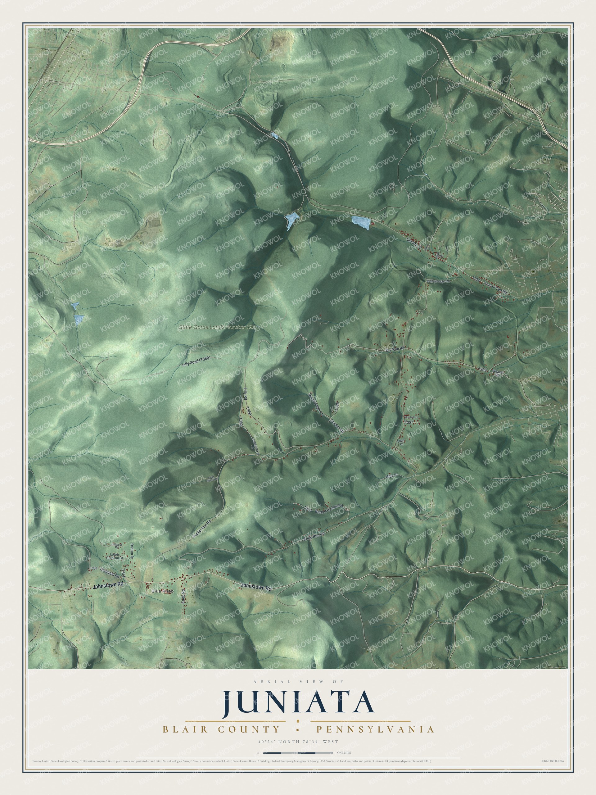
Created by KNOWOL in 2026. The print shows Juniata's ridges and hollows in soft greens with shaded relief, small blue ponds, thin road lines and red building shapes. A cream title panel at the bottom reads Aerial View of Juniata, Blair County, Pennsylvania, with 40°24' North 78°31' West.
It fits a den, a hallway or a camp wall. It's a good gift for someone who hunted State Game Lands Number 198 or grew up off Johnstown Road and moved away. Open the preview and find your road. See sizes and frames for the Juniata, Blair County map.