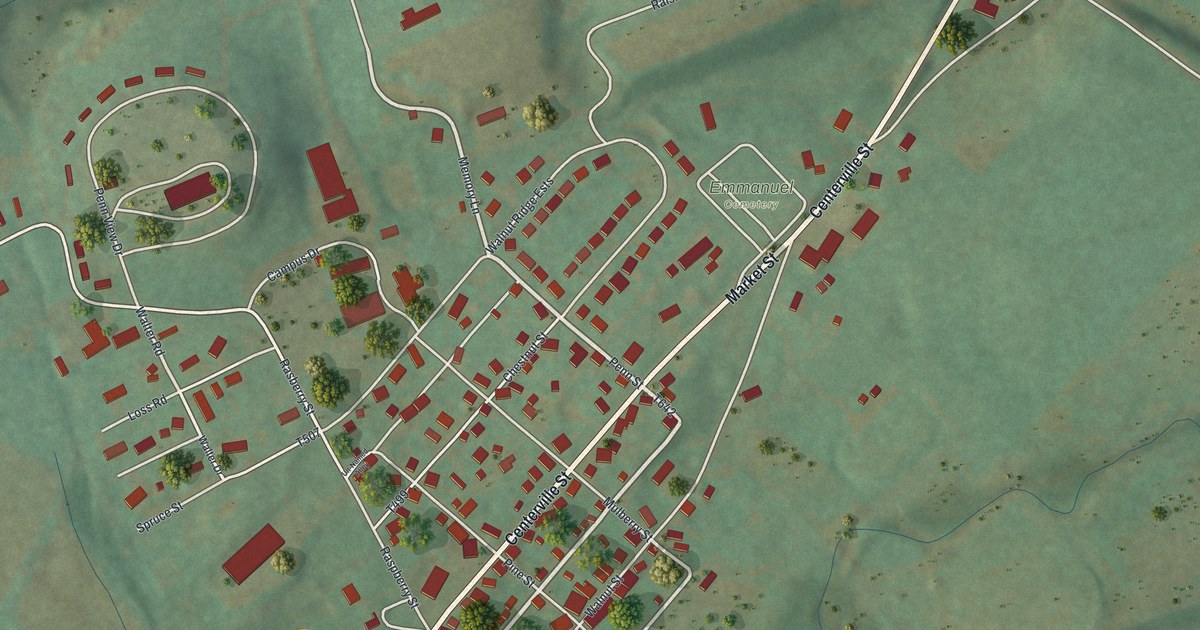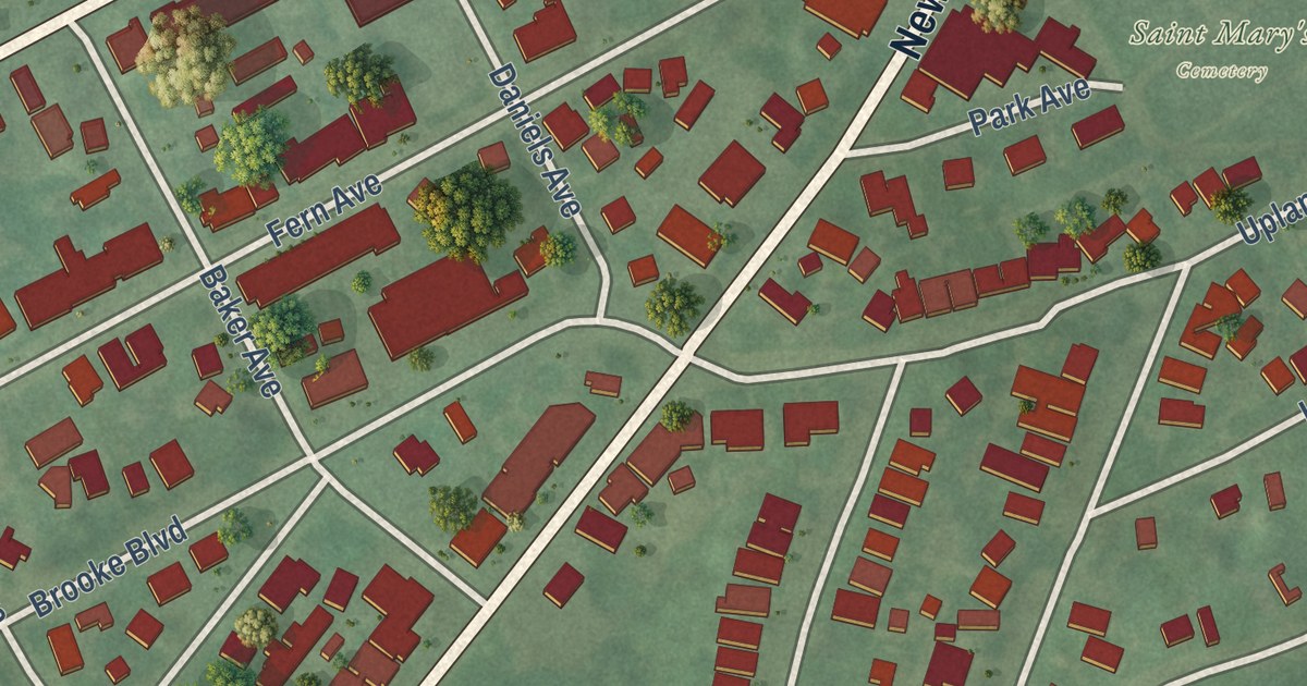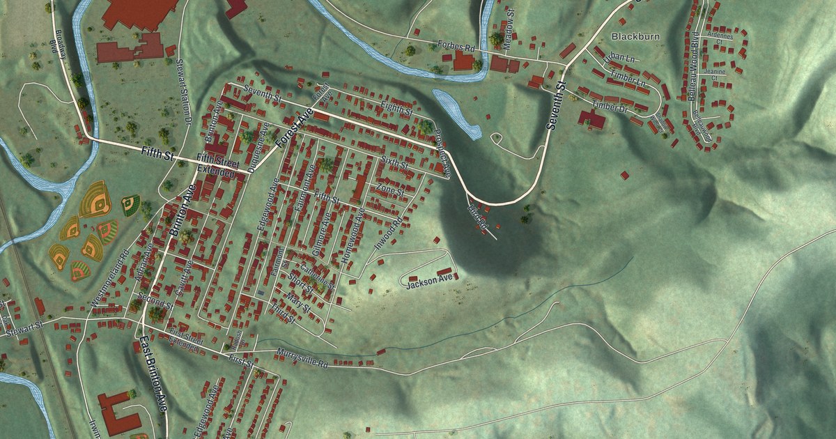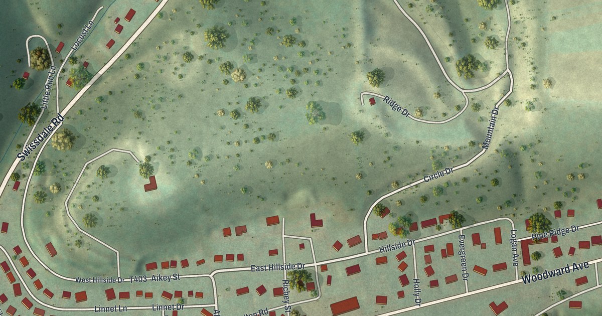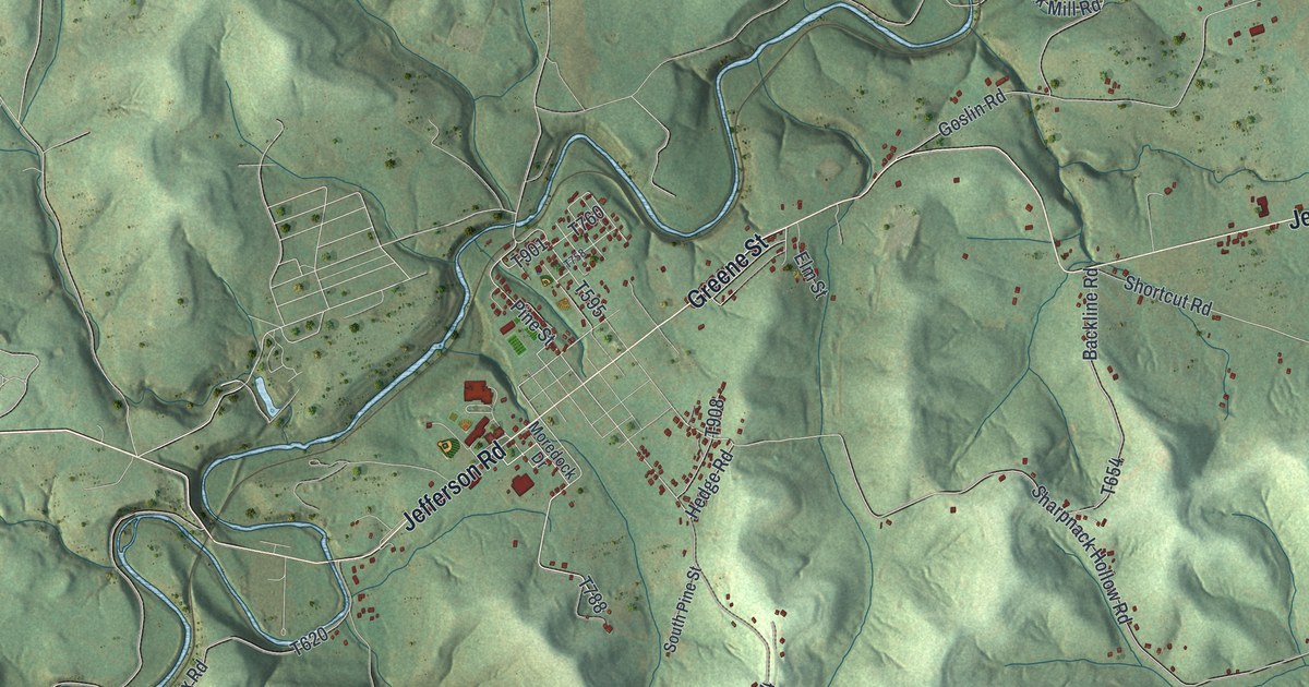
This beautifully detailed map of Jefferson Township, Greene County, Pennsylvania was created in 2026 using aerial imagery combined with modern topographical, census, street and landmark data. It’s a one-of-a-kind view of Jefferson Township that combines accurate data with a vintage aesthetic. The map shows every building in its true location, many of the roads carry their names, and the shaded topographic relief shows the shape of the land.
Explore an aerial view of Jefferson Township, Greene County, Pennsylvania
On the map you’ll find Braden Plan, Burson Plan, Dry Tavern, Pitt Gas, Teagarden Homes, and Woods Run, along with Greene Street, Roy East Furman Highway, Jefferson Road, and more. If you look closely you can even find your house accurately drawn in its correct location. Zoom in on the preview to look for yours.
Take a closer look at the Jefferson Township, Greene County map
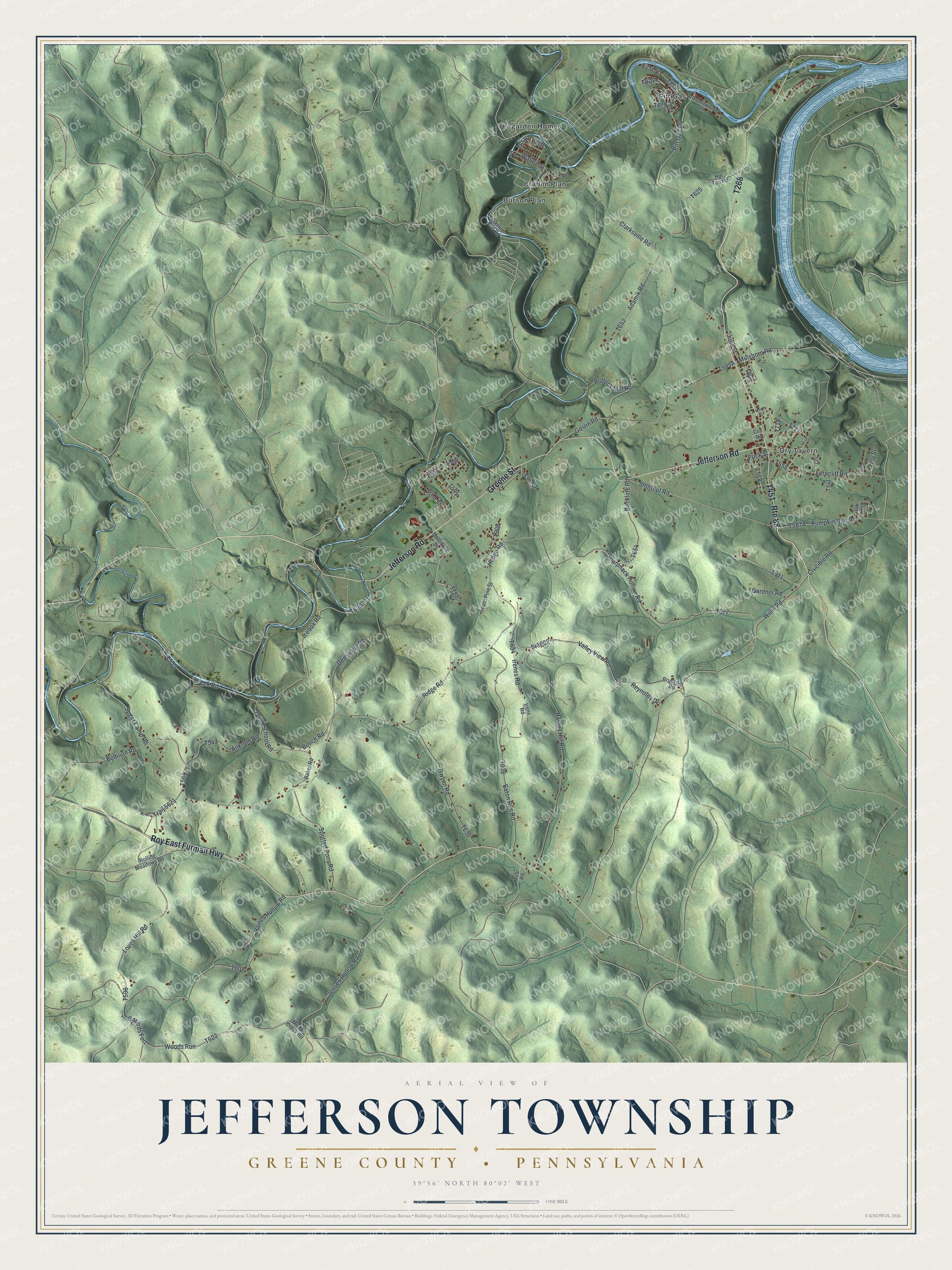
Street and place names on the Jefferson Township, Greene County, Pennsylvania map
These names are printed on the map of Jefferson Township, Greene County, Pennsylvania.
Places: Braden Plan, Dry Tavern, Pitt Gas, Teagarden Homes and Burson Plan.
Streets and roads: Greene Street, Route 88, Roy East Furman Highway, Jefferson Road, Pine Street, Woods Run, Crayne School Road, Walnut Street, Hedge Road, Shortcut Road, Loves Hill Road, Sugar Camp Road.
More street names, A to Z
Adamik Road, Ankrom Road, Backline Road, Baker Road, Bedilion Road, Bench Road, Bruckner Road, Castile Run Road, Clarksville Road, Cox Road, Creek Road, Crucible Road, Denny Hill Road, Eaton Run Road, Elm Drive, Elm Street, Ferncliff Road, First Street, Frick Street, Garards Fort, Gardner Road, Goslin Road, Greenwood Lane, Gwynn Road, Haines Hollow Road, Havers Hill Road, Hill Top Road, Hoy Street, Icebox Road, Irene Road, Irenes Road, Jensen Hollow Road, Julia Street, Millsboro Road, Mohr Road, Moredock Drive, Muddy Creek Road, North Street, Oak Drive, Oak Street, Pitt Gas Road, Pollock Mill Road, Priv Drive, Pumpkin Run Road, Reynolds Drive, Ridge Road, Rolling Meadows Road, Sharpnack Hollow Road, South Pine Street, Spotted Pony Road, Sr1002, Trail 5621, Valley View Road, Willis Road.
See the Jefferson Township, Greene County, Pennsylvania map on a wall
The Jefferson Township, Greene County map as an 18 x 24 inch print in a black frame.

This beautifully detailed map of Jefferson Township, Greene County makes an attractive addition to your office, library, or den, and it can even be used to teach children the geography and history of the area. It also makes a great gift for anyone with Jefferson Township roots. When you’re done exploring, click here to get your copy of the Jefferson Township, Greene County map.