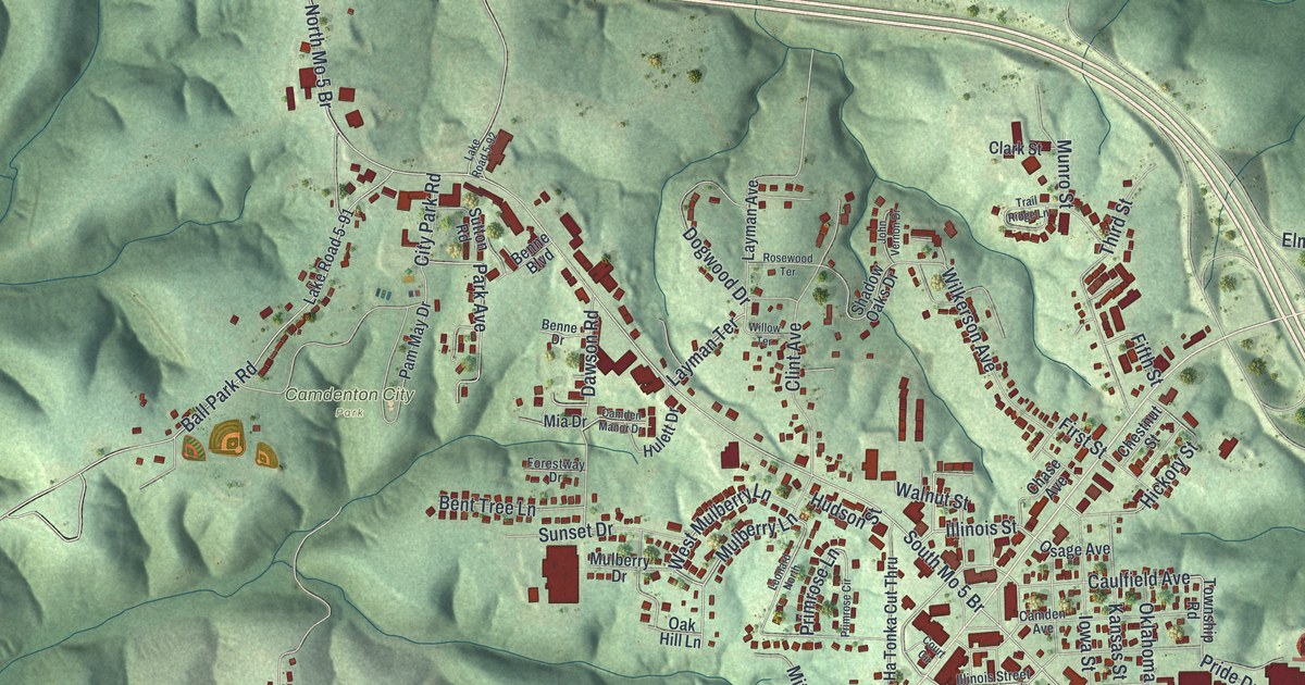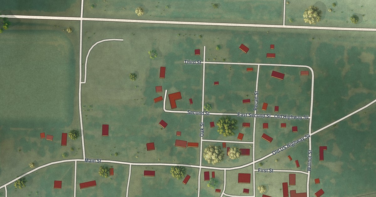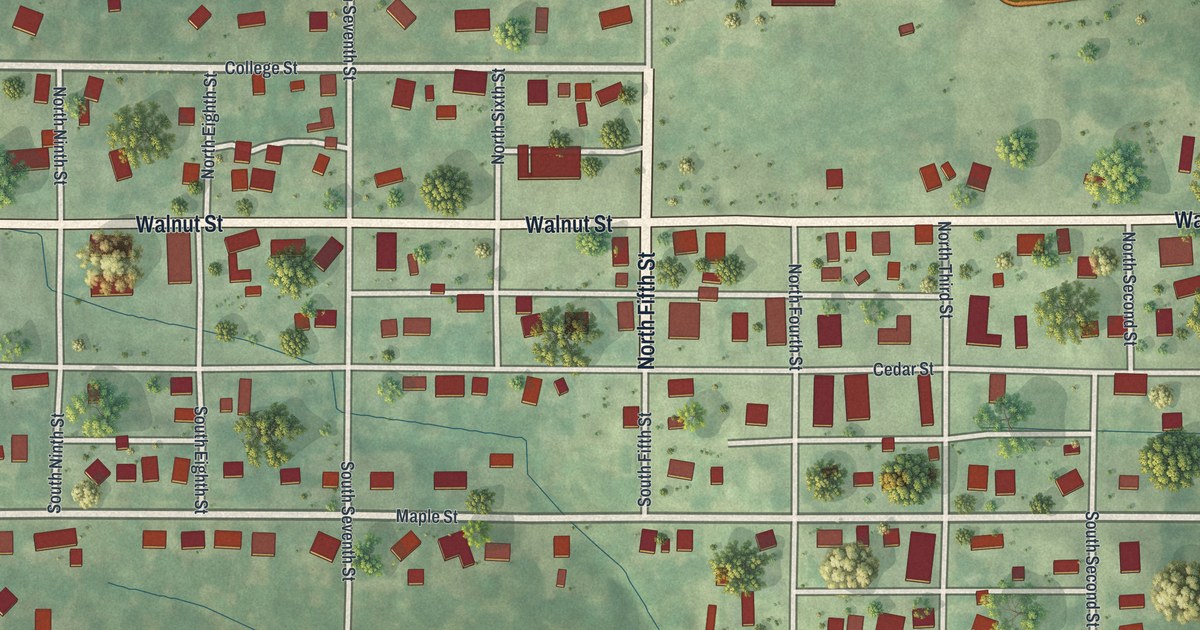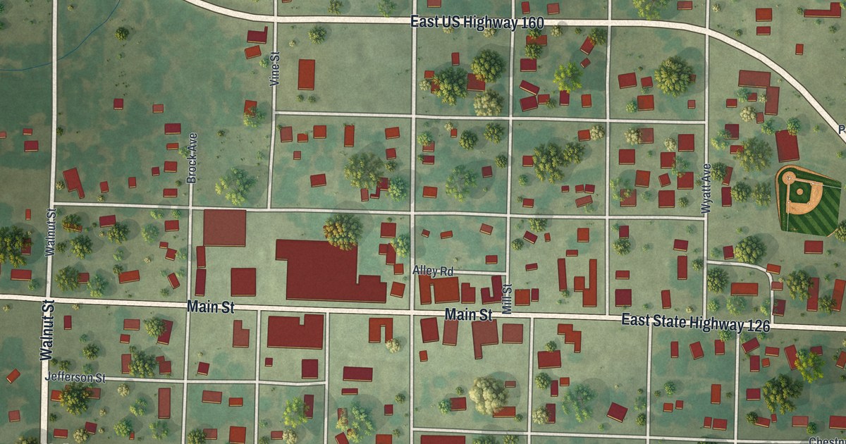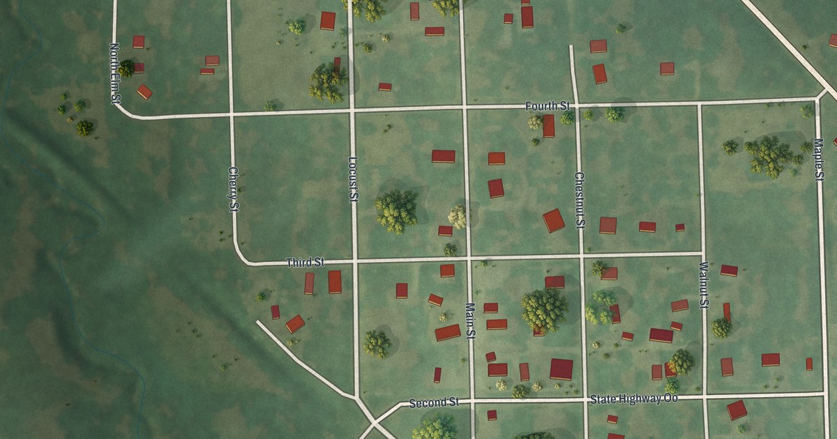
If you grew up in Jameson, or your family still farms the ground around it, this map puts the whole town on one sheet. It's a modern aerial view of Jameson in Daviess County, Missouri, built from modern data and given a vintage look. A small grid of numbered streets sits near the middle, with buildings marked in red. Shaded green farm fields spread out on every side, and Kodiak Road runs in from the top of the sheet.
Kodiak Road, Locust Street and State Highway OO
The grid near the middle of the sheet runs from Fifth Street at the top to East First Street at the bottom, with Fourth Street, Third Street and Second Street in between. Main Street, Locust Street, Walnut Street and Chestnut Street cross them. Kodiak Road comes in from the top of the sheet and meets the east side of the grid.
Cherry Street and Maple Street sit on the east side of the grid, near where State Highway OO comes in. East First Street and State Road OO leave the grid on that same side. South Locust reaches toward the bottom of the sheet. Each red shape is a building, so zoom in on the preview and look for yours.
How the railroad reached Jameson in 1871
A 1922 county history says a railroad reached the site of Jameson in June 1871. The same book names Squire Scott, a justice of Grand River Township, as the man who held the first court in Jameson. By 1882, Jameson had a depot. An 1882 history of Daviess County lists the Jameson depot among the railroad's property in the county.
The 1882 history also raised a question about Gallatin's hold on the county seat. It said Gallatin's railroads were "too far off." Then it warned that another railroad at Jameson "might work disastrously" to Gallatin's hold on the county seat. Jameson counted 73 people in the 2020 Census. On the map, you can follow Jameson's grid from Fifth Street down to East First Street. Past Maple Street, State Highway OO runs out into open fields.
Keep Jameson's Main Street on the wall
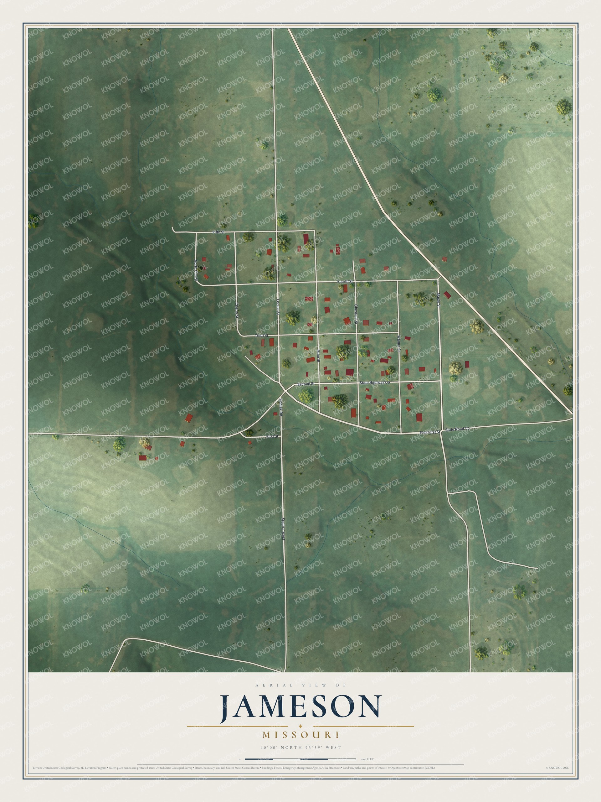
Created by KNOWOL in 2026, this map of Jameson shows the town's buildings in deep red on soft green farmland. The shading shows the low rises around Jameson, and creek lines cross the fields. The title panel reads "Aerial View of Jameson, Missouri" with the coordinates 40°00' North, 93°59' West and a scale bar.
It would look right in a farmhouse kitchen, a den or a shop office. It's a thoughtful gift for someone who grew up on Main Street, moved away for work, or still drives State Highway OO home. Open the preview, zoom in and find the block you know. See sizes and frames for the Jameson map.