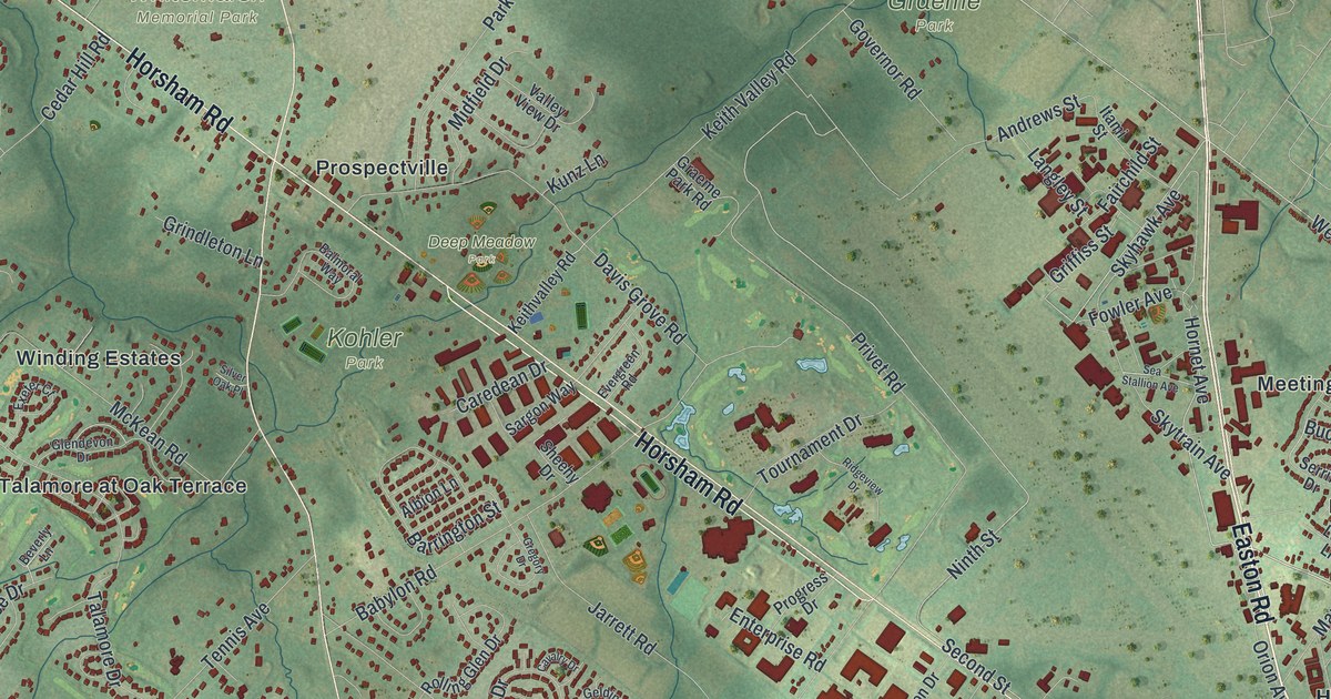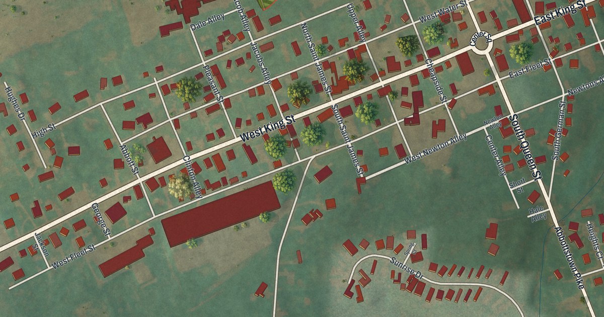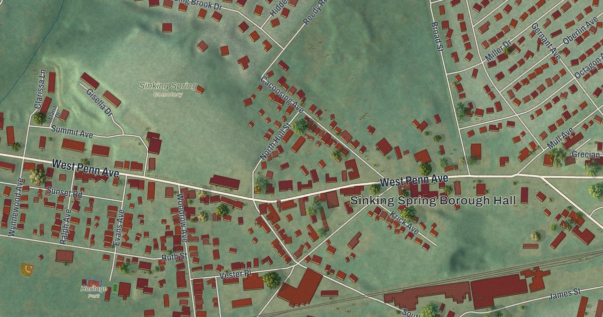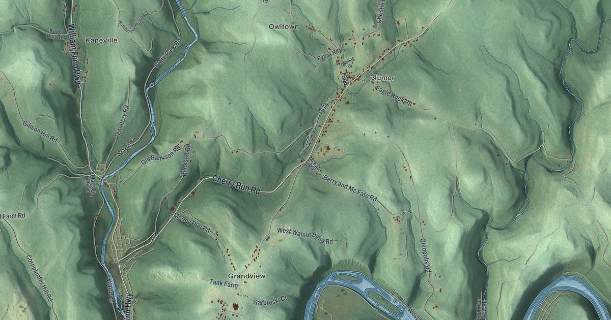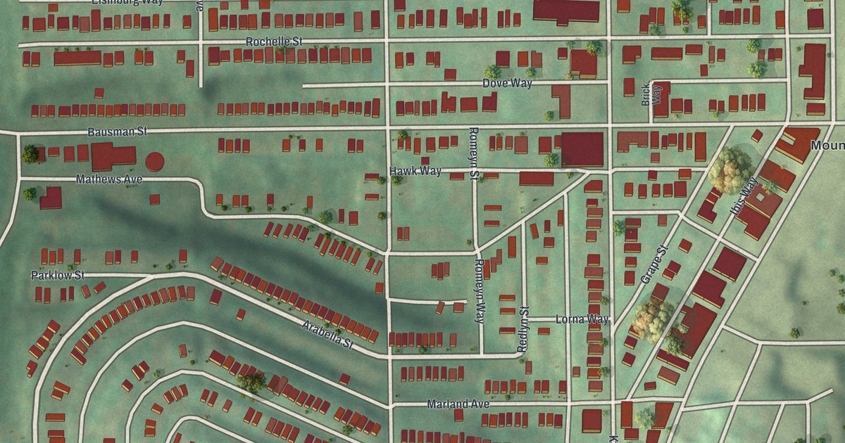
If you grew up in Knoxville, look for your old street on this print. It's a modern aerial view of Knoxville in Allegheny County, Pennsylvania, with a vintage feel. It's built from U.S. Geological Survey terrain, Census Bureau streets and FEMA building outlines. Rows of red buildings fill the blocks, with green hills around them. Mount Oliver appears by name beside the crowded streets.
Knox Avenue and Knoxville's Familiar Streets
On this map you'll find Knox Avenue, Bausman Street, Beltzhoover Avenue, Charles Street, Grimes Avenue, Jucunda Street, Zara Street, Rochelle Street, Cedarhurst Street, McKinley Street, Mount Oliver, and more. Each red shape is a building, so zoom in on the preview and look for yours.
Knoxville Junior High School has a place in the National Register. Its record lists the school at Charles and Grimes, with a listing date of February 1987. On the map, you can find Charles Street and Grimes Avenue among the close-set blocks. If your family knew the school, those two names give you a place to start looking.
Keep Knoxville Close to Home
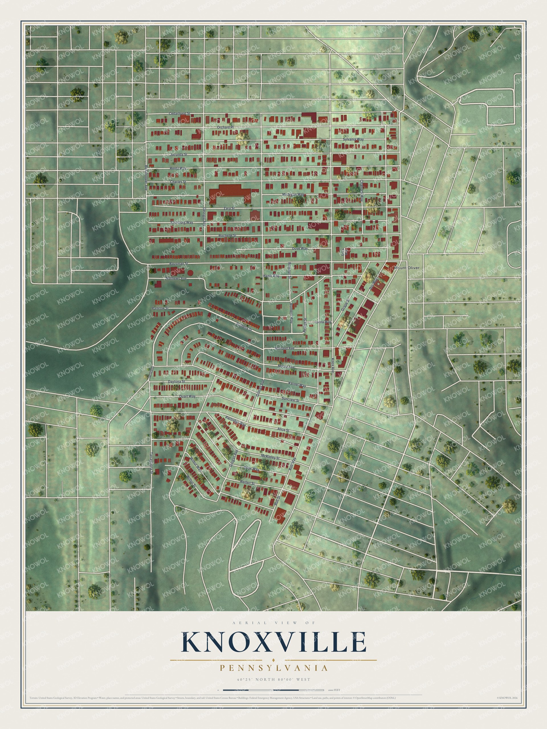
Created by KNOWOL in 2026, the print pairs red buildings with soft green hills and pale streets. A cream border surrounds the view. The title panel reads AERIAL VIEW OF KNOXVILLE, PENNSYLVANIA, with 40°25' NORTH 80°00' WEST below.
Hang it in a living room, home office or entryway. It's a thoughtful gift for someone with family ties to Knox Avenue, or someone who moved away from Knoxville. Open the preview and take a closer look at the blocks you know. See sizes and frames for the Knoxville map.