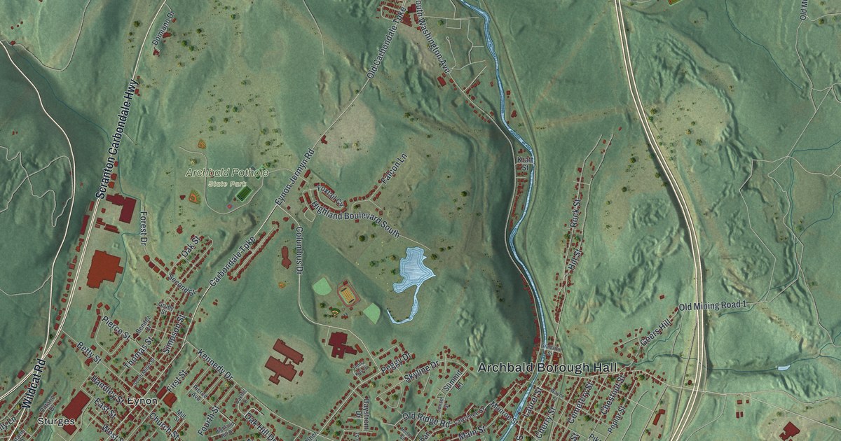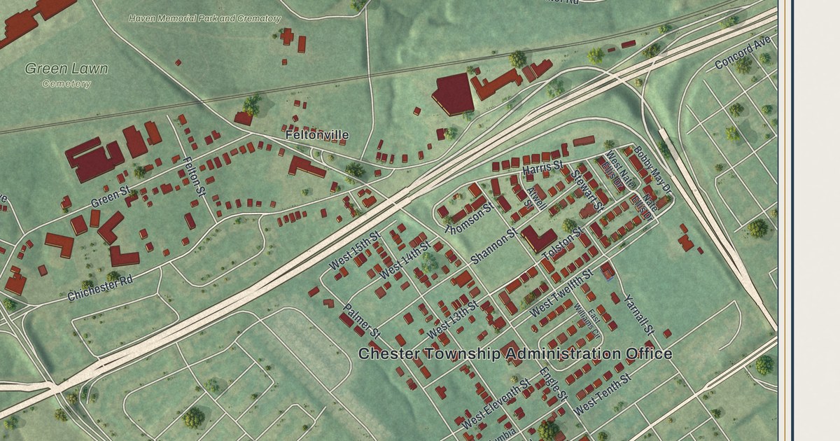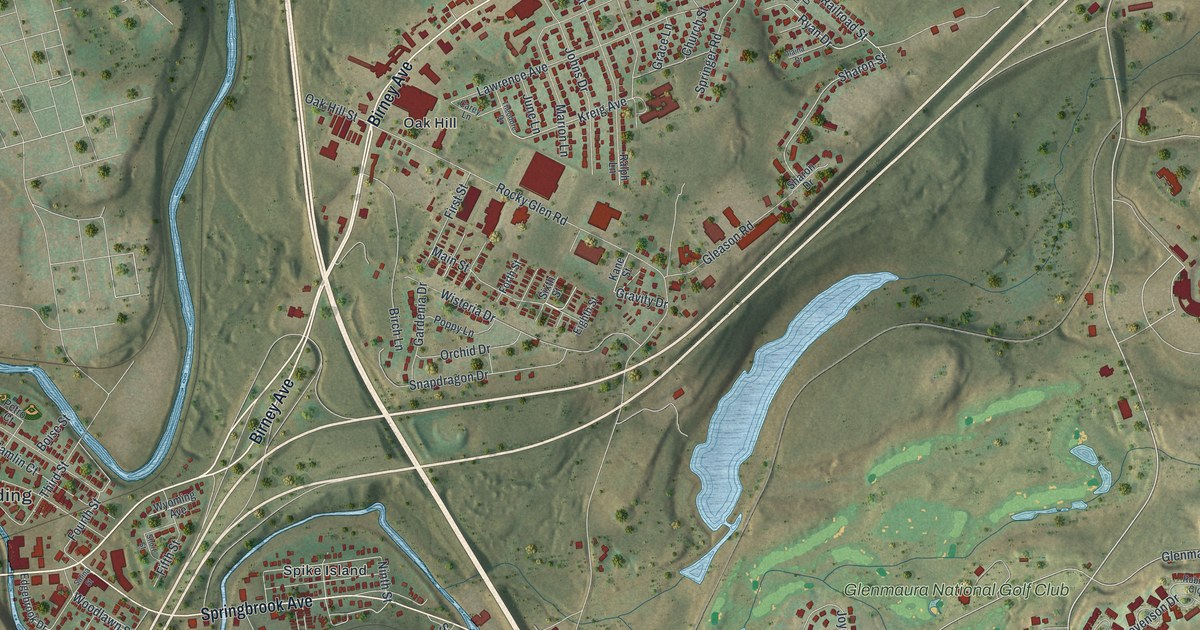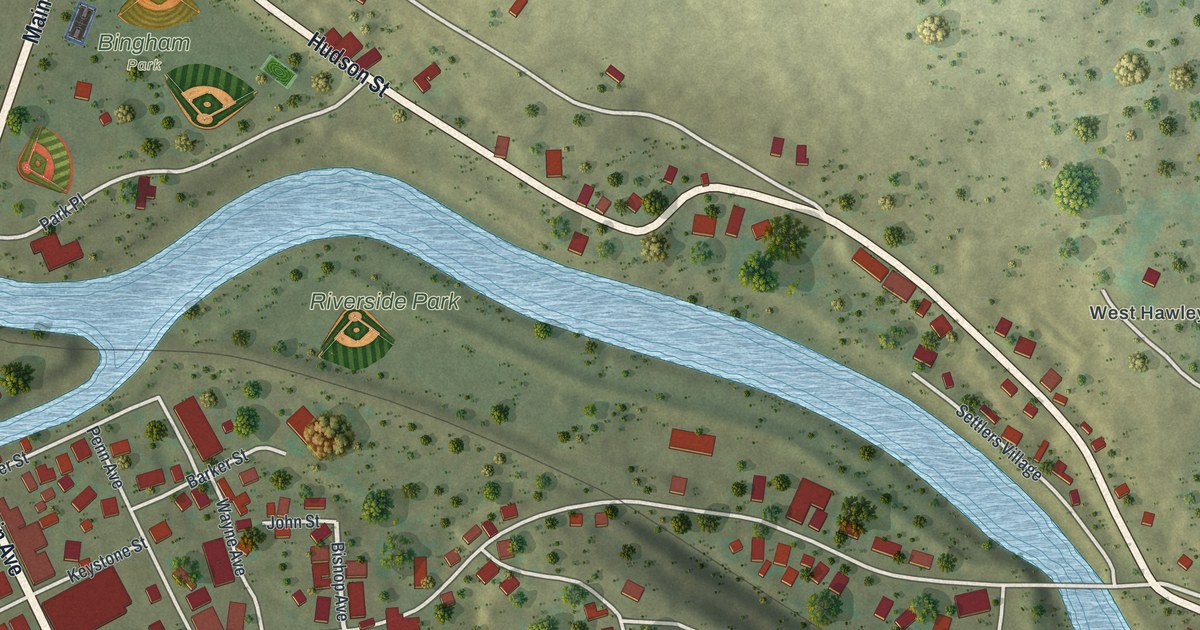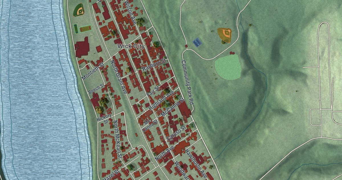
If you grew up in Kittanning or ever walked up Market Street to the courthouse, this map is for you. It's a new aerial view of Kittanning, the county seat of Armstrong County, Pennsylvania, made from modern data with a vintage feel. The town runs in a long, narrow band of red buildings between a wide blue river and green hills. You can pick out Wick City near the middle, Ewing at the top, East Kittanning on the right, and Community Park up on the hillside.
Market Street and the Town on the Main River
On this map you'll find Market Street, North Water Street, South Water Street, North Jefferson Street, North McKean Street, South McKean Street, North Grant Avenue, Johnston Avenue, Orr Avenue, Arch Street, Benjamin Franklin Highway, Community Park, Wick City, Ewing, East Kittanning, and more. Each red shape is a building, so zoom in on the preview and look for yours.
The name is older than the town. The History of Armstrong County, printed in 1883, says Kittanning comes from the Delaware word Kit-han-ne. It means the main stream. Kit-han-nink meant the town on the main stream. The book also says the old idea that the name means cornfield is wrong. A state marker puts it simply: the name means great river, for the Ohio and the Allegheny.
From about 1727, this river flat was the chief town of the Delaware people. A 1926 plaque calls it the most important Indian center west of the Allegheny Mountains. Traders from the East came here for years. In September 1756, Colonel John Armstrong and 300 frontier troops destroyed the town. The county still carries his name. The plaque stands by the river where North Water Street meets Market Street. That corner sits on the same flat where the Delaware town stood.
The Courthouse at the End of Market Street
The town you see today was laid out in 1803 as the county seat. The Armstrong County Courthouse and Jail stands at the north end of Market Street. It's on the National Register of Historic Places. A state marker there says the Daugherty Visible typewriter was invented here in 1881. Up on North Grant Avenue, the old Kittanning Passenger Station and Freight Depot joined the National Register in 2025.
Keep Market Street and the River Close
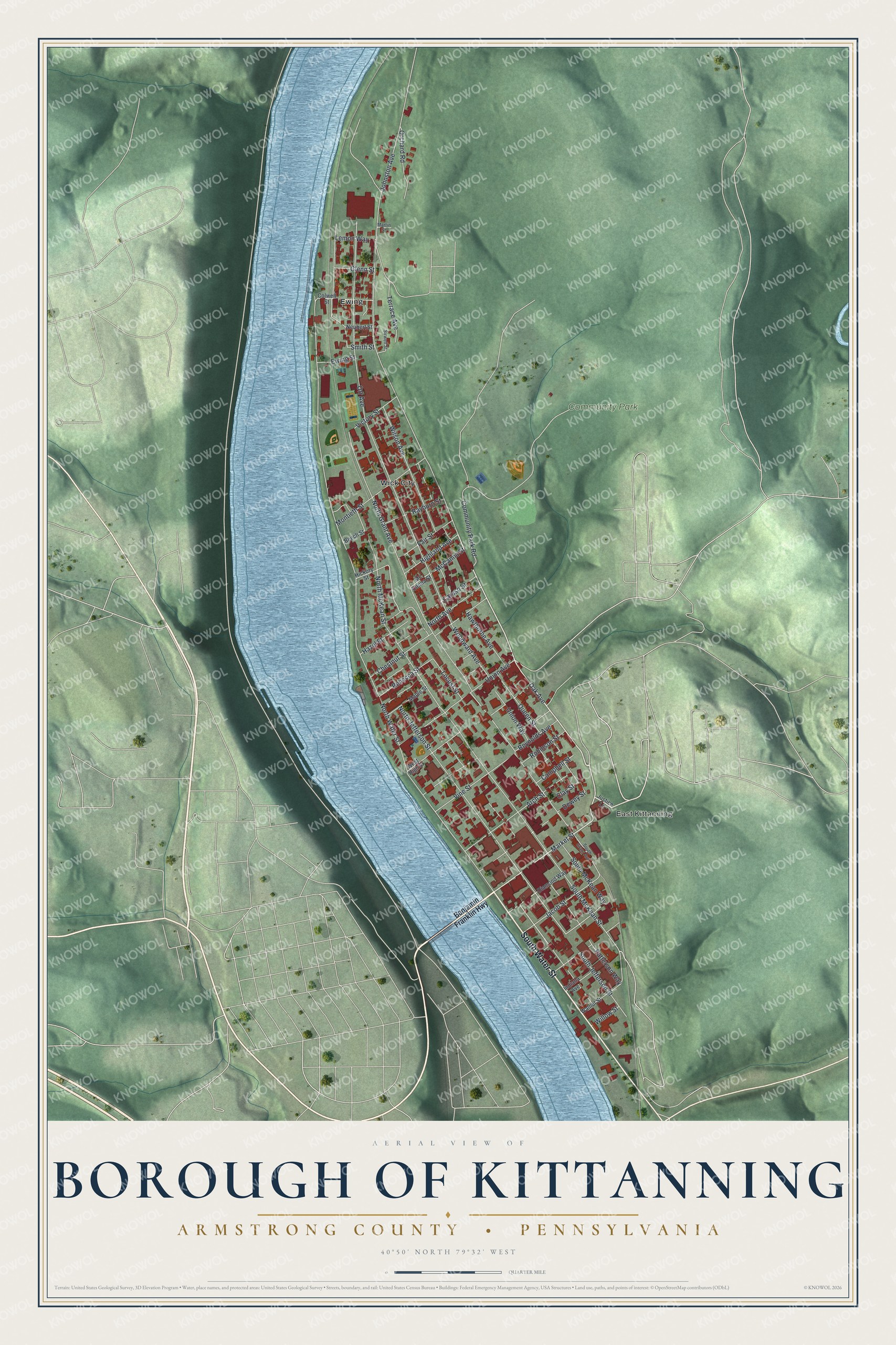
Created by KNOWOL in 2026, this print sets red buildings on soft green hills, with a wide blue river along the left side. The title panel reads Aerial View of Borough of Kittanning, then Armstrong County • Pennsylvania, with 40°50' North 79°32' West below.
It suits a living room, a front hall or a home office. It's a warm gift for anyone who grew up near Community Park or moved away from Market Street. Open the preview and find your block. See sizes and frames for the Borough of Kittanning, Armstrong County map.