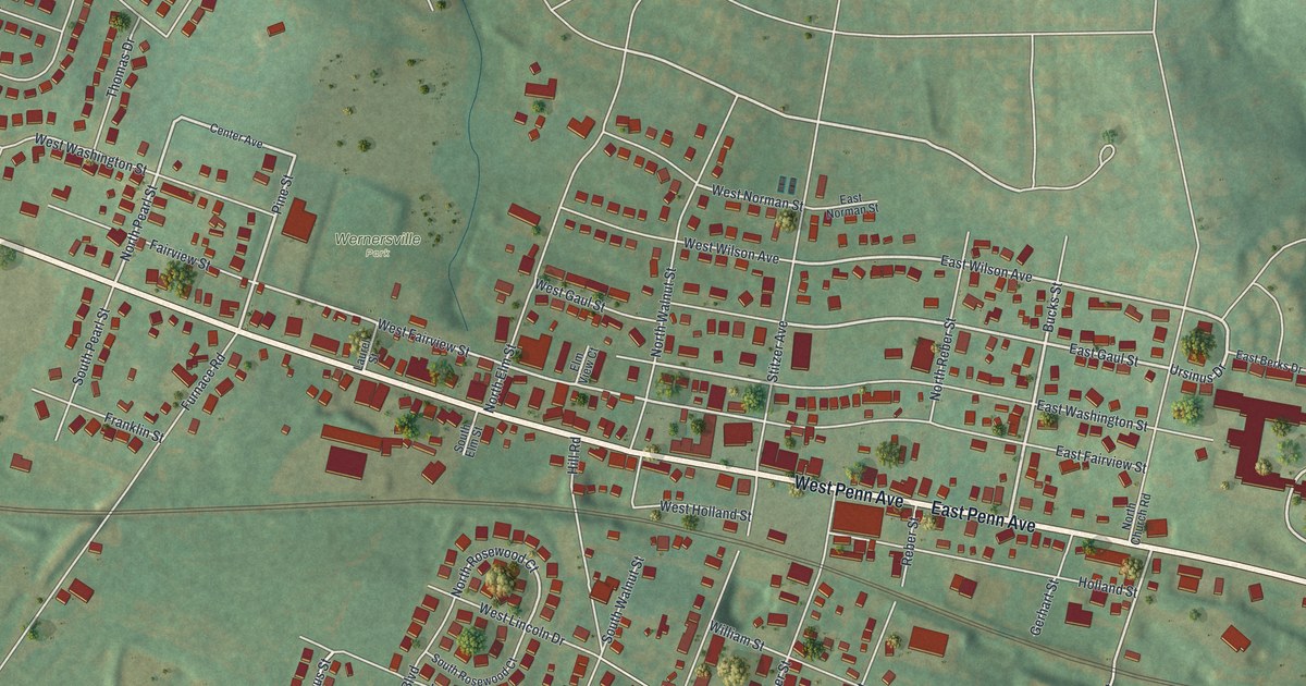
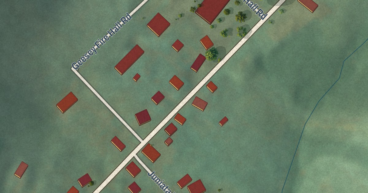
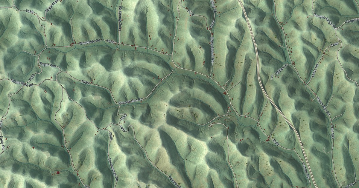
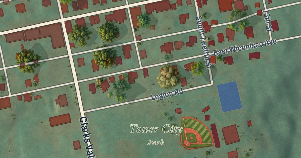
This beautifully detailed map of Knoxville, Allegheny County, Pennsylvania was created in 2026 using aerial imagery combined with modern topographical, census, street and landmark data. It’s a one-of-a-kind view of Knoxville that combines accurate data with a vintage aesthetic. The map shows every building in its true location, many of the roads carry their names, and the shaded topographic relief shows the shape of the land.
Explore an aerial view of Knoxville, Allegheny County, Pennsylvania
On the map you’ll find Mount Oliver and Orchard Place, along with Arabella Street, Grimes Avenue, Knox Avenue, Georgia Avenue, Bausman Street, Rentz Way, Charles Street, Jucunda Street, Rochelle Street, Cedarhurst Street, and more. If you look closely you can even find your house accurately drawn in its correct location. Zoom in on the preview to look for yours.
Did you know this piece of Knoxville, Allegheny County, Pennsylvania history?
From the City of Pittsburgh: "Knoxville has long been a desirable location for Pittsburgh residents. Once the fruit farm of Jeremiah Knox, brother-in-law to the son of Beltzhoover’s founder, the area became desirable yet again during the height of Pittsburgh’s steel industry."
Take a closer look at the Knoxville, Allegheny County map

Street and place names on the Knoxville, Allegheny County, Pennsylvania map
These names are printed on the map of Knoxville, Allegheny County, Pennsylvania.
Places: Mount Oliver.
Streets and roads: Arabella Street, Grimes Avenue, Knox Avenue, Georgia Avenue, Bausman Street, Rentz Way, Charles Street, Jucunda Street, Orchard Place, Rochelle Street, Cedarhurst Street, Ibis Way.
More street names, A to Z
Alice Street, Beltzhoover Avenue, Brick Way, Chalrock Way, Daytona Street, Dove Way, Duart Way, Elsinburg Way, Grape Street, Grogan Avenue, Hawk Way, Kernel Way, Lorna Way, Marland Avenue, Mathews Avenue, McKinley Street, Michigan Way, Moore Avenue, Onyx Way, Parklow Street, Partridge Way, Redlyn Street, Reifert Street, Roll Street, Roll Way, Romeyn Street, Romeyn Way, Suncrest Street, Sylvania Way, Tarraganno, Tarragonna Street, Wilbur Street, Wilbur Way, Zara Street.
See the Knoxville, Allegheny County, Pennsylvania map on a wall
The Knoxville, Pittsburgh map as an 18 x 24 inch print in a black frame.

This beautifully detailed map of Knoxville, Allegheny County makes an attractive addition to your office, library, or den, and it can even be used to teach children the geography and history of the area. It also makes a great gift for anyone with Knoxville roots. When you’re done exploring, click here to get your copy of the Knoxville, Allegheny County map.