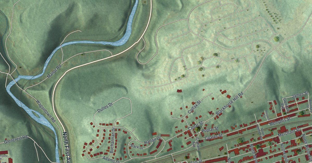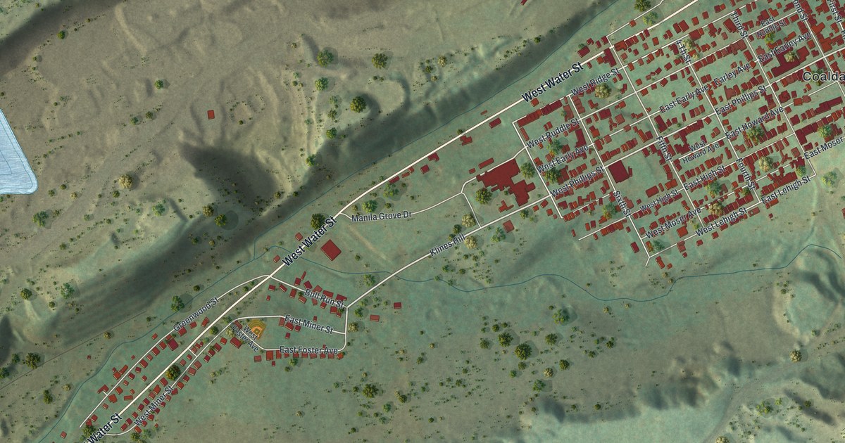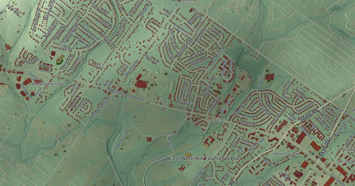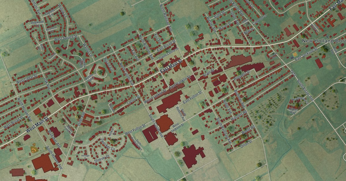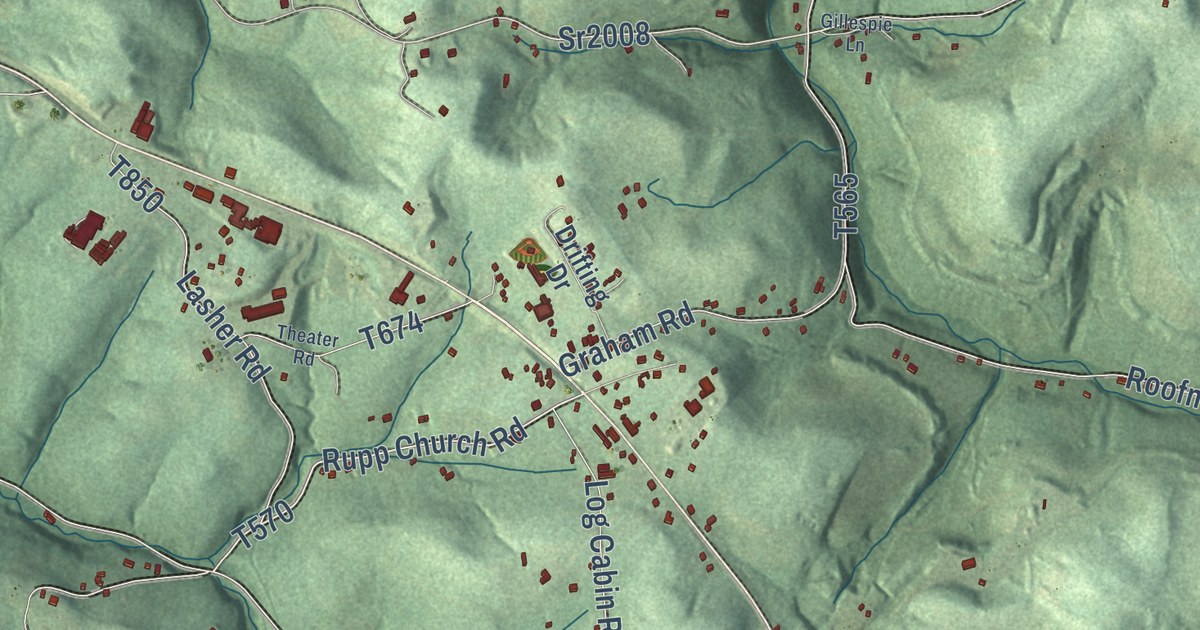
This beautifully detailed map of Kittanning Township, Pennsylvania was created in 2026 using aerial imagery combined with modern topographical, census, street and landmark data. It’s a one-of-a-kind view of Kittanning Township that combines accurate data with a vintage aesthetic. The map shows every building in its true location, many of the roads carry their names, and the shaded topographic relief shows the shape of the land.
Explore an aerial view of Kittanning Township, Pennsylvania
On the map you’ll find Top, McNees, Pyrra, Blanket Hill, Heilman, Rockville, and Shay, along with Campbell Run Road, Garretts Run Road, and more. If you look closely you can even find your house accurately drawn in its correct location. Zoom in on the preview to look for yours.
Take a closer look at the Kittanning Township map
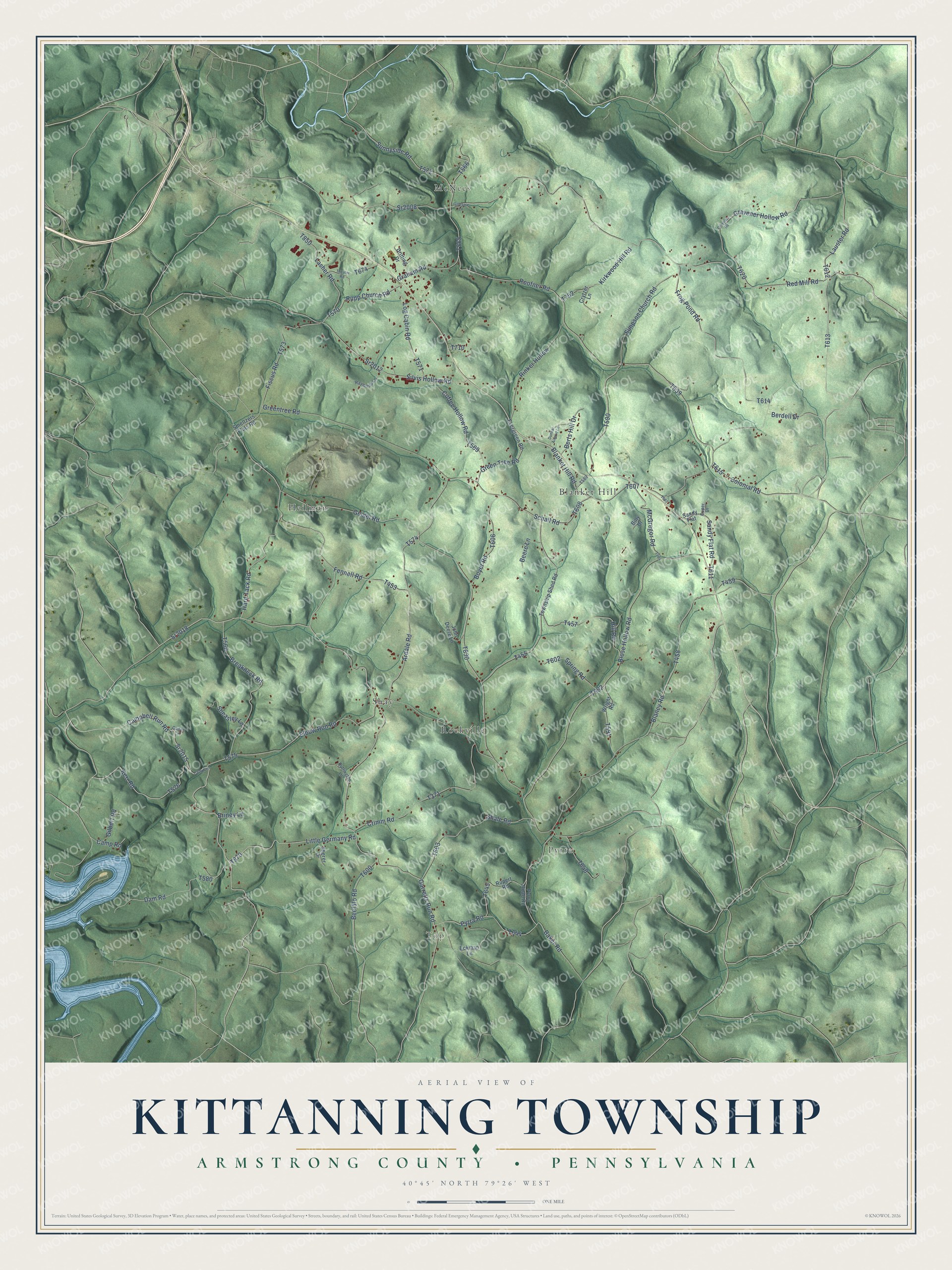
Street and place names on the Kittanning Township, Pennsylvania map
These names are printed on the map of Kittanning Township, Pennsylvania.
Places: Top, McNees, Pyrra, Heilman, Blanket Hill, Shay and Rockville.
Streets and roads: Campbell Run Road, Sr2015, Sr2018, Sr2008, Rupp Church Road, Kerr Road, Little Germany Road, Greentree Road, Sunnyside Road, Garretts Run Road, Ardale Road, Baker Road.
More street names, A to Z
Beefalo Road, Beere Lane, Berdell Drive, Berts Hill Drive, Billy Drive, Blaney Road, Blanket Hill Road, Blose Hollow Road, Boyer Road, Breakneck Road, Briney Lane, Buffington Lane, Cader Lane, Campbell, Camp Road, Coffee Hollow Road, Colonial Road, Cravener Hollow Road, Cravener Road, Crimm Road, Crytzer Lane, Cuper Drive, Dam Road, Drifting Drive, Dunbar Airport Lane, Eckman Lane, Elbow Run Road, Evergreen Road, Fennell Road, Fiscus Road, Frog Pond Road, Geidel Road, Gilbert Road, Gillespie Lane, Graham Road, Green Tree Road, Hard Tack Road, Hill Road, John Deere Lane, Kirkwood Hill Road, Lasher Road, Lauster Road, Log Cabin Road, McGregor Road, Pyrra Road, Pyrra Road Road, Raymond Lane, Red Mill Road, Rinker Hollow, Roofner Road, Rupert Road, Sandy Flat, Sandy Flat Road, Schall Road, Shale Road, Sheasley Lane, Sherer Drive, Silvis Hollow Road, Simpson Church Road, Smeltzers Flats Road, Spring Road, Sr2012, Theater Road, Township Shed Road, Wright Road.
See the Kittanning Township, Pennsylvania map on a wall
The Kittanning Township, Armstrong County map as an 18 x 24 inch print in a black frame.

This beautifully detailed map of Kittanning Township makes an attractive addition to your office, library, or den, and it can even be used to teach children the geography and history of the area. It also makes a great gift for someone who left Kittanning Township and still calls it home. When you’re done exploring, click here to get your copy of the Kittanning Township map.