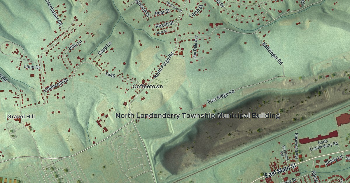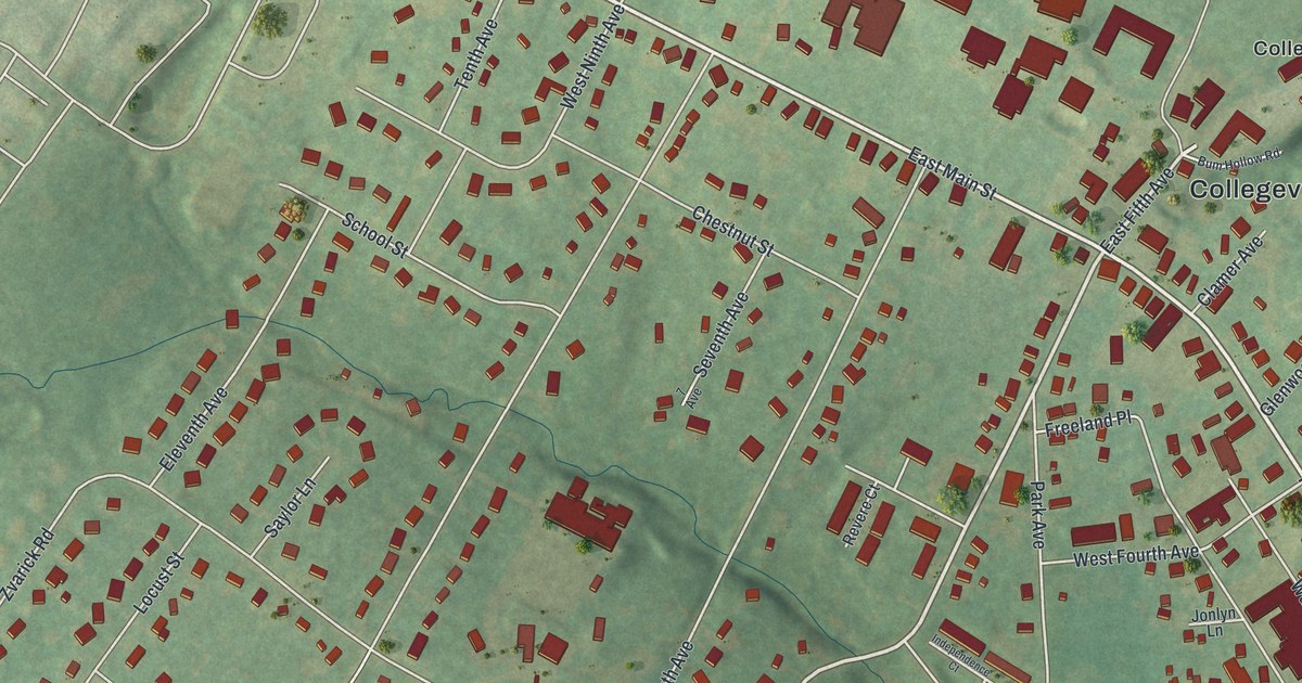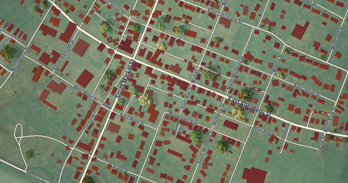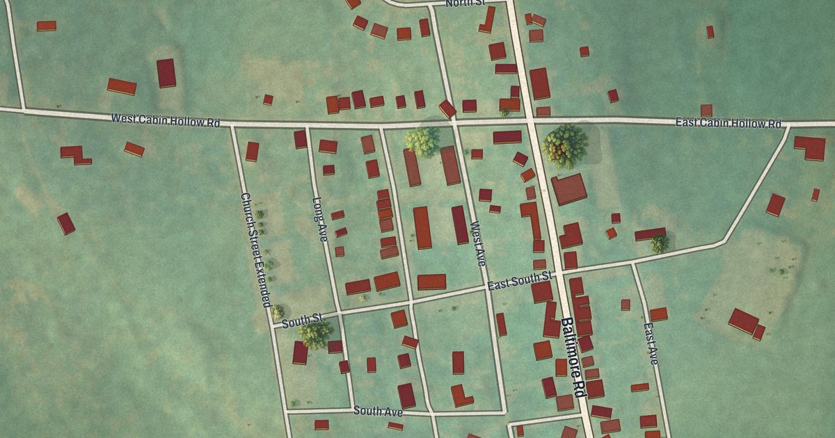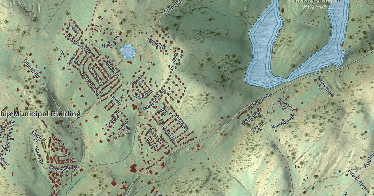
If you grew up in Shavertown or Trucksville, look for your old street here. This modern aerial view of Kingston Township in Luzerne County, Pennsylvania blends modern data with a vintage feel. Red buildings trace the neighborhoods, while green hills and blue water fill the spaces around them.
Shavertown, Trucksville and Carverton on the map
You'll find Shavertown, Trucksville, Carverton, Frances Slocum State Park, South Memorial Highway, North Memorial Highway, North Pioneer Avenue, South Pioneer Avenue, Carverton Road, Bunker Hill Road, Harris Hill Road, Hillside, and more. Each red shape is a building, so zoom in on the preview and look for yours.
The Census Bureau counted 7,108 people in Kingston Township in 2020. This view puts the homes and hills together on one sheet. You can pick out close rows of houses around Shavertown and Trucksville. Smaller groups of buildings dot the hills, with winding roads between them. The lake at Frances Slocum State Park stands out in blue. Its long arms reach into the green hills around it.
Keep a view of Kingston Township at home
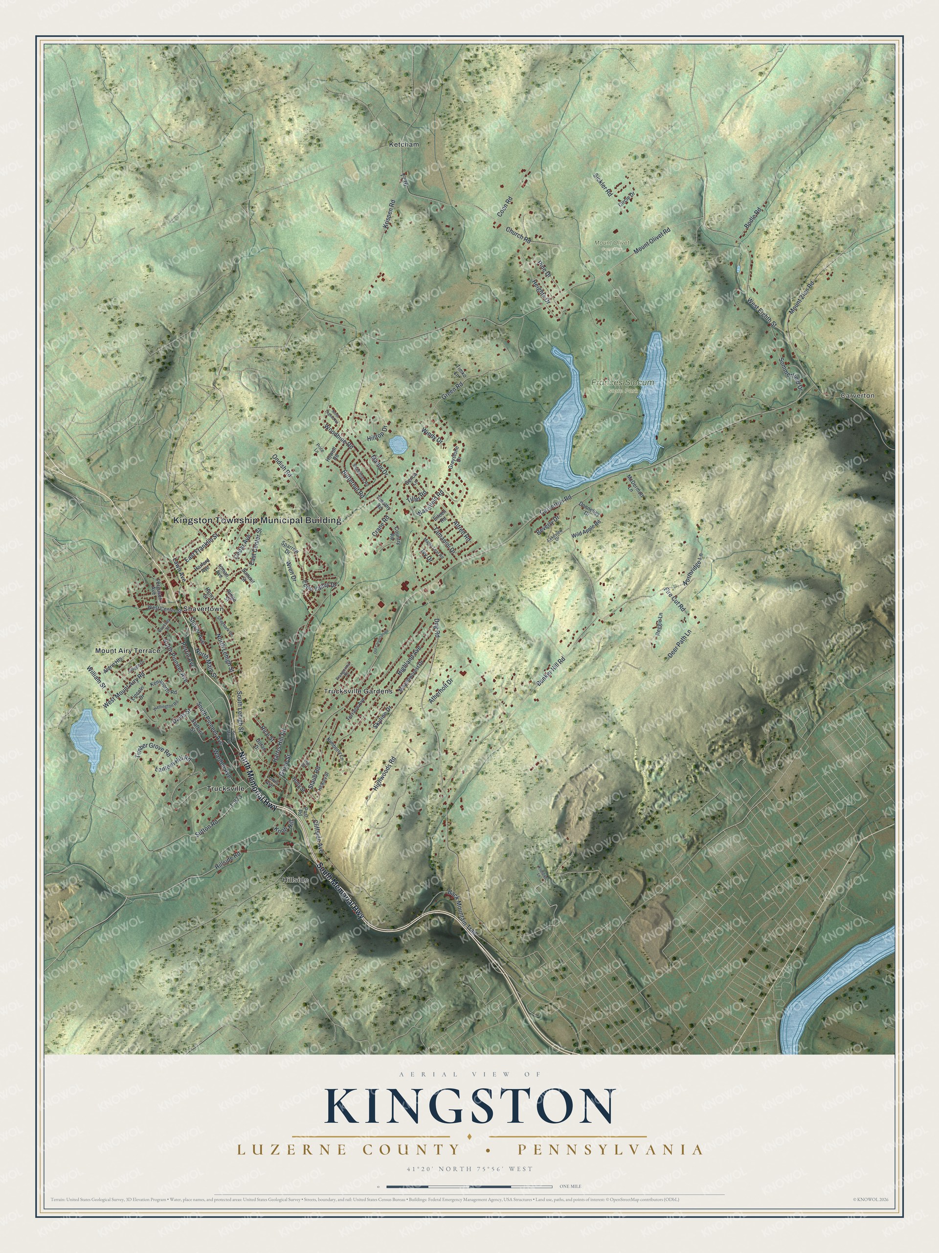
Created by KNOWOL in 2026, this print pairs green shaded hills with blue water and red building shapes. A cream border surrounds the view. The title panel reads AERIAL VIEW OF KINGSTON, LUZERNE COUNTY • PENNSYLVANIA, with 41°20' NORTH 75°56' WEST below.
Hang it in a living room, home office, or entryway. It's a gift for someone who grew up in Trucksville or has family in Shavertown. Open the preview to find a familiar block and see the hills around it. See sizes and frames for the Kingston, Luzerne County map.