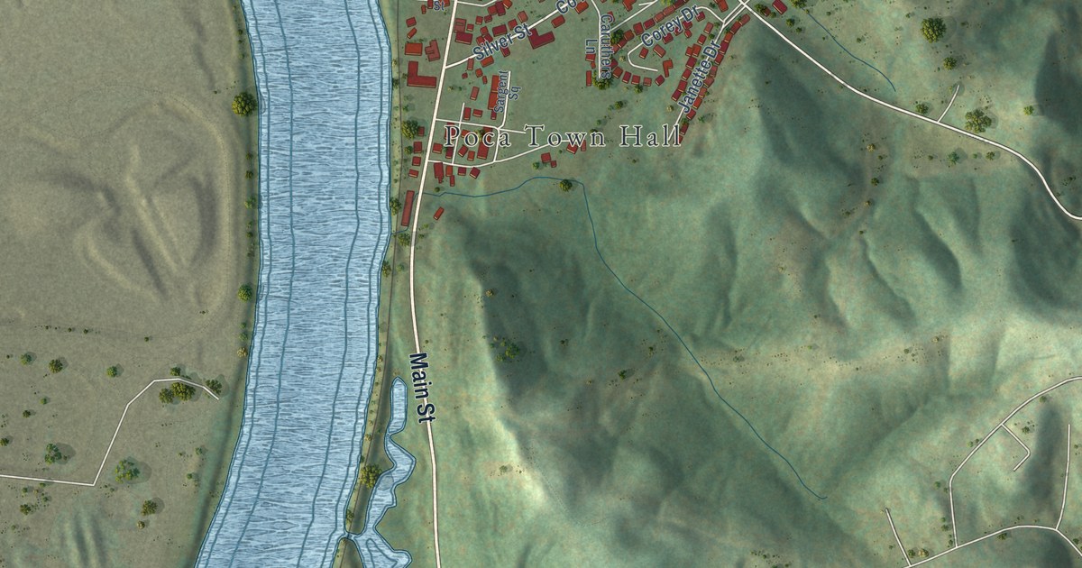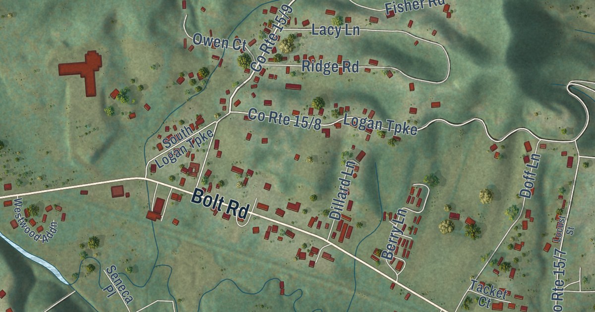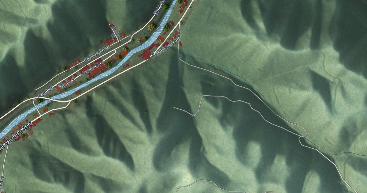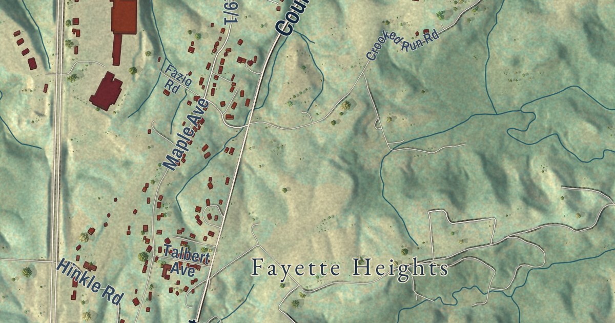
This beautifully detailed map of Fayetteville, West Virginia was created in 2026 using aerial imagery combined with modern topographical, census, street and landmark data. It’s a one-of-a-kind view of Fayetteville that combines accurate data with a vintage aesthetic. The map shows every building in its true location, many of the roads carry their names, and the shaded topographic relief shows the shape of the land.
Explore an aerial view of Fayetteville, West Virginia
On the map you’ll find MacDougal, Fayette Heights, and Oak Ridge, along with Court Street, North Court Street, Beckwith Road, Laurel Creek Road, Old Court Street, West Maple Avenue, Payne Road, Keller Avenue, Laurel Street, and more. If you look closely you can even find your house accurately drawn in its correct location. Zoom in on the preview to look for yours.
Did you know this piece of Fayetteville, West Virginia history?
From the West Virginia Encyclopedia: "A distinct historic courthouse, built in 1895 in the town center, is the centerpiece of Fayetteville. Prominent citizens have included financier-philanthropist Morris Harvey, and two governors of West Virginia, Okey L. Patteson and Homer A. Holt. The town’s longtime police chief Tunney Hunsaker was once a professional boxer who lost to Muhammad Ali (then known as Cassius Clay) in Ali’s first professional bout, in 1960."
Take a closer look at the Fayetteville map
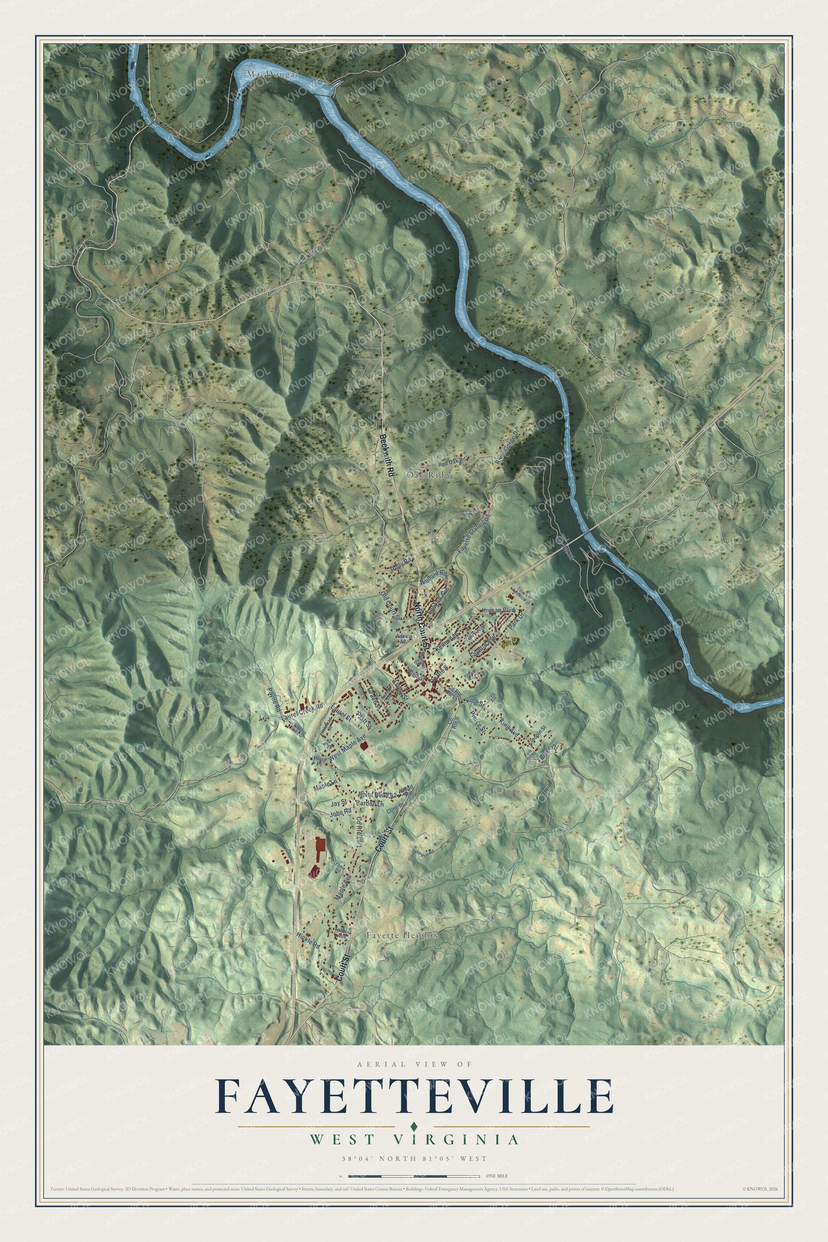
Street and place names on the Fayetteville, West Virginia map
These names are printed on the map of Fayetteville, West Virginia.
Places: MacDougal, Fayette Heights and Oak Ridge.
Streets and roads: Court Street, North Court Street, Beckwith Road, County Route 8, Laurel Creek Road, Old Court Street, West Maple Avenue, Payne Road, County Route 82, Keller Avenue, Laurel Street, King Avenue.
More street names, A to Z
Abbott Way, Adkins Avenue, Bears Drive, Carden Lane, Cline Drive, County Route 9, Craig Avenue, Crooked Run Road, Daniel Street, Delta Road 42, Fayette Avenue, Fayette Hills Drive, Fayette Station Road, Fazio Road, Frank Street, Goose Creek Road, Grace Street, Halstead Street, Heslep Avenue, Hess Street, High Street, Hinkle Road, Holly Road, Hresan Boulevard, Jay Street, Jobe Road, King Street, Lincoln Street, Lively Street, Maple Avenue, Maple Lane, Paris Place, Park Drive, Pierce Street, Platt Street, Red Oak Road, River Gorge Drive, Ryan Drive, Second Avenue, Talbert Avenue, Tank Hill Road, Tourism Addition Street, Tully Avenue, Wollard Road, Wood Road.
See the Fayetteville, West Virginia map on a wall
The Fayetteville map as an 18 x 24 inch print in a black frame.

This beautifully detailed map of Fayetteville makes an attractive addition to your office, library, or den, and it can even be used to teach children the geography and history of the area. It also makes a great gift for anyone with Fayetteville roots. When you’re done exploring, click here to get your copy of the Fayetteville map.