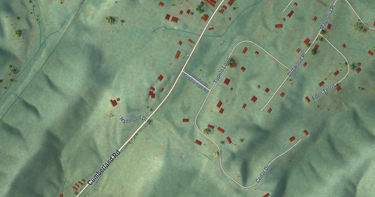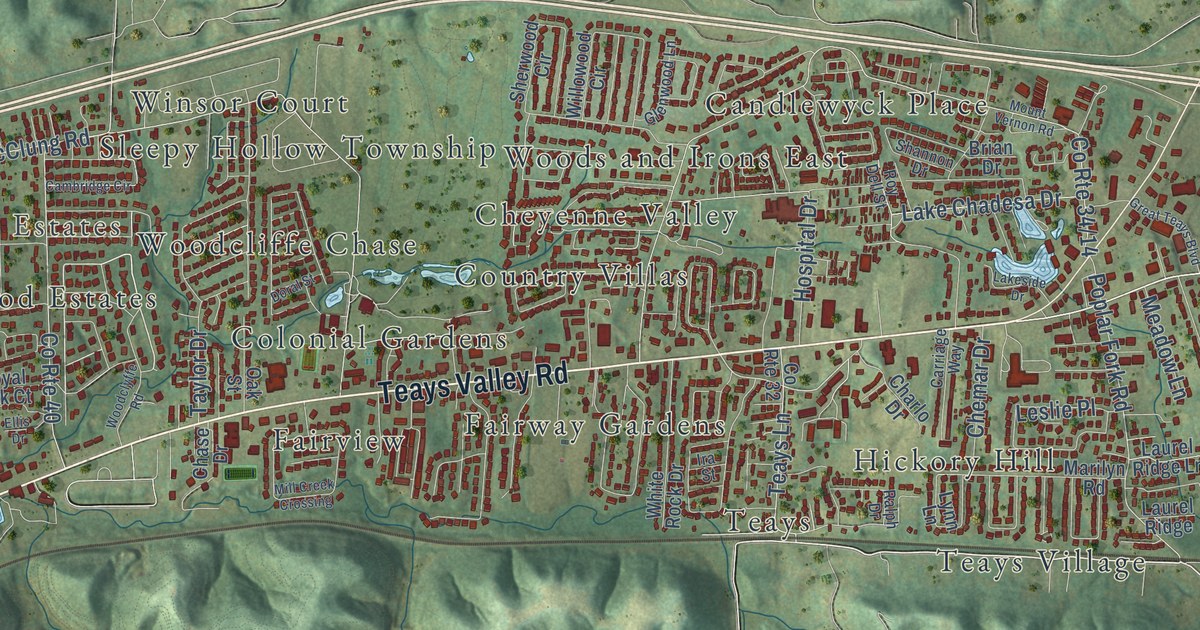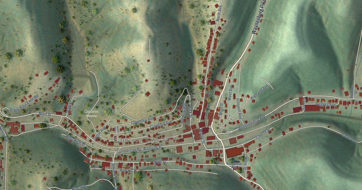
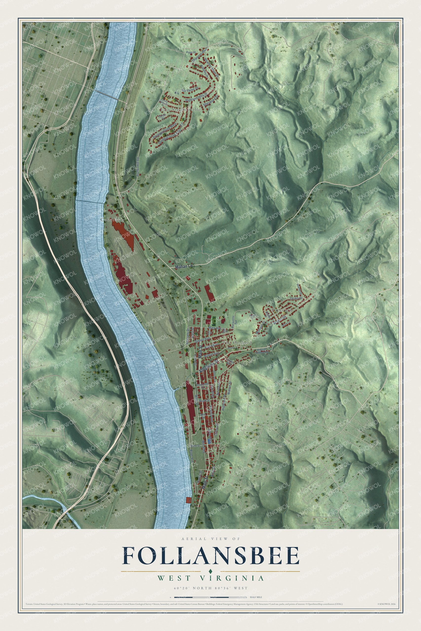
This beautifully detailed map of Follansbee, West Virginia was created in 2026 using aerial imagery combined with modern topographical, census, street and landmark data. It’s a one-of-a-kind view of Follansbee that combines accurate data with a vintage aesthetic. The map shows every building in its true location, many of the roads carry their names, and the shaded topographic relief shows the shape of the land.
Explore an aerial view of Follansbee, West Virginia
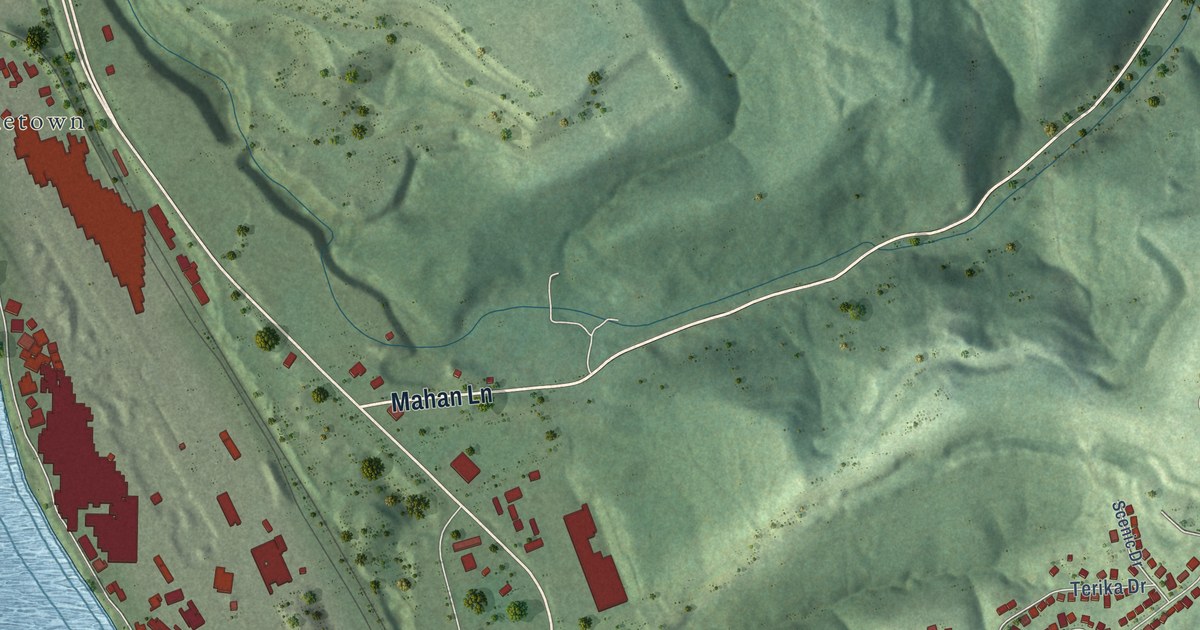
On the map you’ll find Coketown, East Steubenville, Parkview, and The Orchard, along with Main Street, Allegheny Street, Mahan Lane, Archer Hill Road, Walnut Street, Koppers Road, Mill Alley, Virginia Avenue, and more. If you look closely you can even find your house accurately drawn in its correct location. Zoom in on the preview to look for yours.
Did you know this piece of Follansbee, West Virginia history?
From the West Virginia Archives and History: "John Decker built a fort of logs and stone on a site just north of State St. near Ohio River, 1774. Leaden bullets and arrowheads found here on the river bank signify Native American attack on the fort from Mingo Island."
Take a closer look at the Follansbee map
Street and place names on the Follansbee, West Virginia map
These names are printed on the map of Follansbee, West Virginia.
Places: Coketown, East Steubenville, Parkview and The Orchard.
Streets and roads: Main Street, Allegheny Street, Mahan Lane, Archer Hill Road, Walnut Street, Koppers Road, Mill Alley, Virginia Avenue, Highland Hills Drive, Rose Alley, River Avenue, Neville Street.
More street names, A to Z
Banfield Avenue, Blosser Hollow Road, Bonnie Prince Drive, Clifton Street, Donegal Drive East, Donegal Drive West, East Street, Front Street, Gilbert Avenue, Harris Street, Heather Moor Drive, Highland Street, Jaime Lane, Jefferson Street, Kilkenny Drive, Kilt Road, Linden Avenue, Mahan Avenue, Mark Avenue, Marquette Avenue, Oak Alley, Oak Street, Ohio Street, Par Three Drive, Penn Street, Piper Place, Raymond Street, Rose Street, Scenic Drive, Shady Lane, Shannon Boulevard, Sherwood Drive, Skyline Circle, State Street, Tartan Drive, Terika Drive, Veterans Drive, Wabash Drive, Walker Road, West Street, Wood Street.
See the Follansbee, West Virginia map on a wall
The Follansbee map as an 18 x 24 inch print in a black frame.

This beautifully detailed map of Follansbee makes an attractive addition to your office, library, or den, and it can even be used to teach children the geography and history of the area. It also makes a great gift for someone who left Follansbee and still calls it home. When you’re done exploring, click here to get your copy of the Follansbee map.