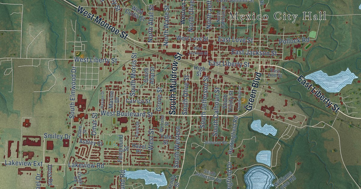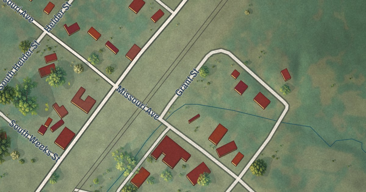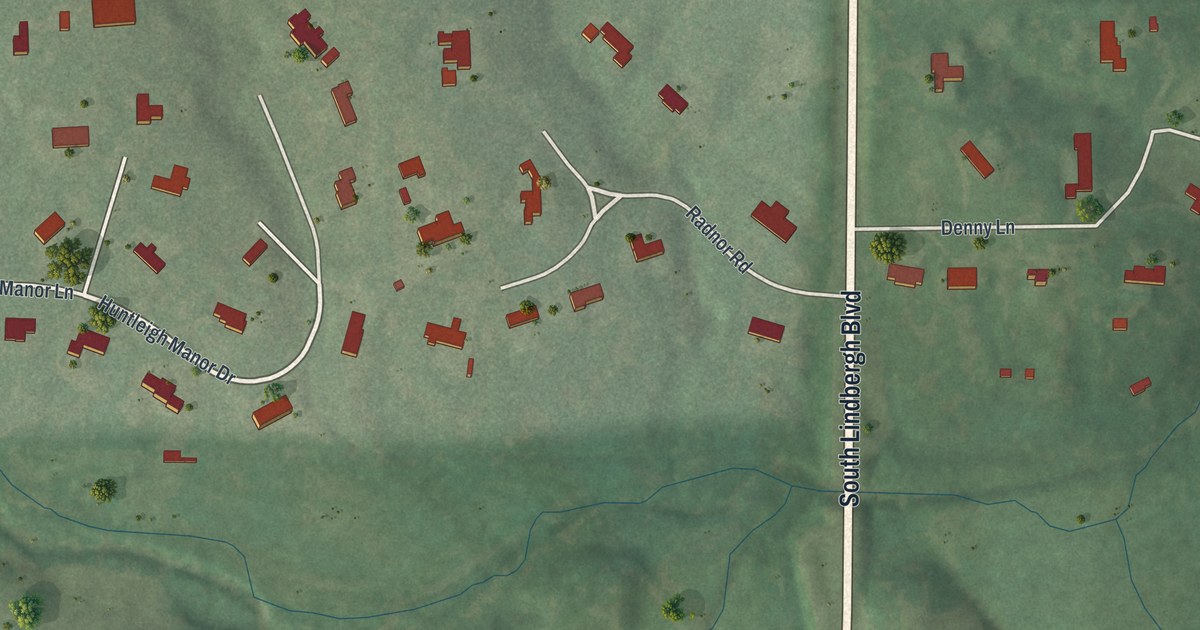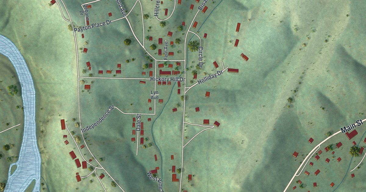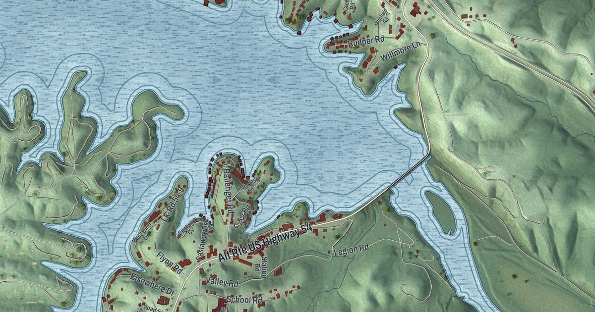
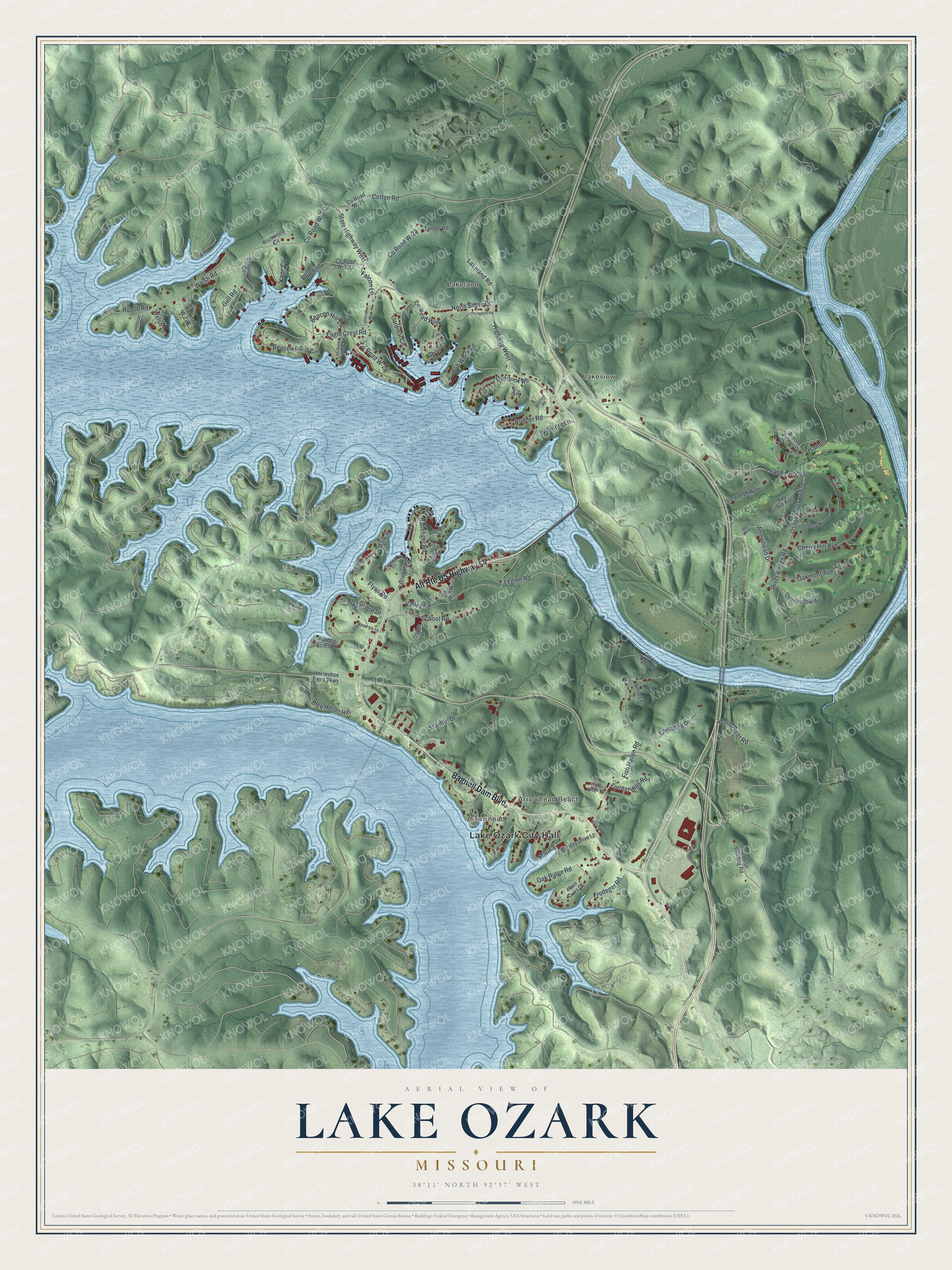
This beautifully detailed map of Lake Ozark, Missouri was created in 2026 using aerial imagery combined with modern topographical, census, street and landmark data. It’s a one-of-a-kind view of Lake Ozark that combines accurate data with a vintage aesthetic. The map shows every building in its true location, many of the roads carry their names, and the shaded topographic relief shows the shape of the land.
Explore an aerial view of Lake Ozark, Missouri
On the map you’ll find Lake Ozark City Hall, Lakeland, Arrowhead Beach, Arrowhead, Lakeview, and Osage River Bridge, along with Bagnell Dam Boulevard, Alt Rte US Highway 54, Osage Hills Road, River Bridge Road, Wood River Road, Welsh Road, and more. If you look closely you can even find your house accurately drawn in its correct location. Zoom in on the preview to look for yours.
Did you know this piece of Lake Ozark, Missouri history?
In 1941, Lake Ozark was a roadside hamlet that served vacationers. Its hotels, restaurants, dance halls, taverns and shops stood in a single row of one- and two-story buildings. The other side of the highway was too steep to build on without costly foundations, so it stayed empty. That’s from the 1941 WPA guide to Missouri.
Take a closer look at the Lake Ozark map
Street and place names on the Lake Ozark, Missouri map
These names are printed on the map of Lake Ozark, Missouri.
Places: Lake Ozark City Hall, Lakeland, Arrowhead Beach, Arrowhead and Lakeview.
Streets and roads: Bagnell Dam Boulevard, Alt Route US Highway 54, Osage Hills Road, Osage River Bridge, River Bridge Road, Wood River Road, Welsh Road, County Road W-22, Legion Road, Eagle Crest Road, County Road W-24, Valley Road.
More street names, A to Z
Arnold Palmer Drive, Arrowhead Drive, Ballenger Road, Bay Hill Avenue, Bay Hill Court, Beacon Hill Drive, Beacon Point Circle, Bluebird, Blue Heron Hill, Bob White Lane, Campbell Drive, Cardinal Circle, Carl's Road, Castaway Drive, Castway Cv, Cherry Hill Avenue, Cherry Hill Drive, Cherry Hill Lane, Cotton Road, County Road W-23, County Road W-25, County Road W-26, Elsewhere Drive, Falcon Lane, Fish Haven Road, Flynn Road, Forrest Hills Road, Frudeger Road, Glen Road, Golden Rule Road, Gull Road, Hidden Acres Road, Highway West, Hobson Drive, Holiday Drive Lane, Horseshoe Bend Parkway, Isleworth Avenue, Kane Circle, Lakeland Road, Lake Road 54-10, Lenox Lane, Lighthouse Road, Lk-Rd 54-9, Longview Circle, Marina, Mockingbird Road, North Shore Drive, Oakmont Avenue, Oak Ridge Road, Osage Drive, Osander, Overlook Road, Palm Ridge Lane, Quail Circle, Quail Hollow Avenue, Robin Lane, Rockwood Circle, Rosco Road, Rudder Road, School Road, Scottish Landing Road, Smiley Lane, Stanton Drive, State Highway West, Station Road, Thornsberry Road, Timber Road, Twin Oaks Drive, Welsh Lane, Westwind Drive, Whitfield Road, Willmore Lane, Wren Drive.
See the Lake Ozark, Missouri map on a wall
The Lake Ozark map as an 18 x 24 inch print in a black frame.

This beautifully detailed map of Lake Ozark makes an attractive addition to your office, library, or den, and it can even be used to teach children the geography and history of the area. It also makes a great gift for anyone with Lake Ozark roots. When you’re done exploring, click here to get your copy of the Lake Ozark map.