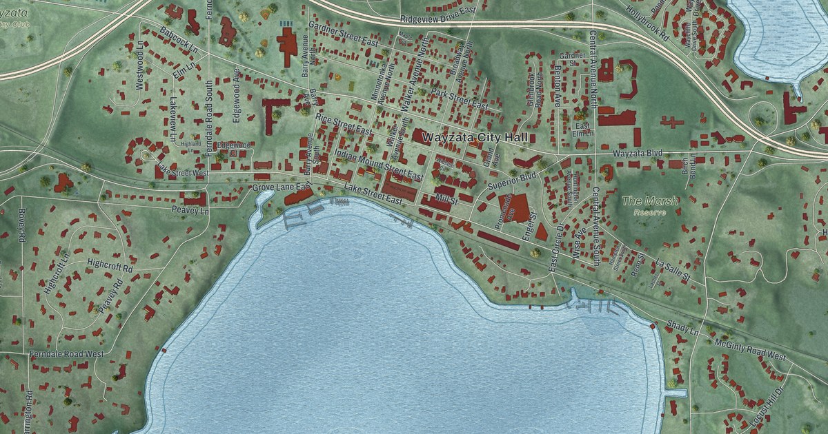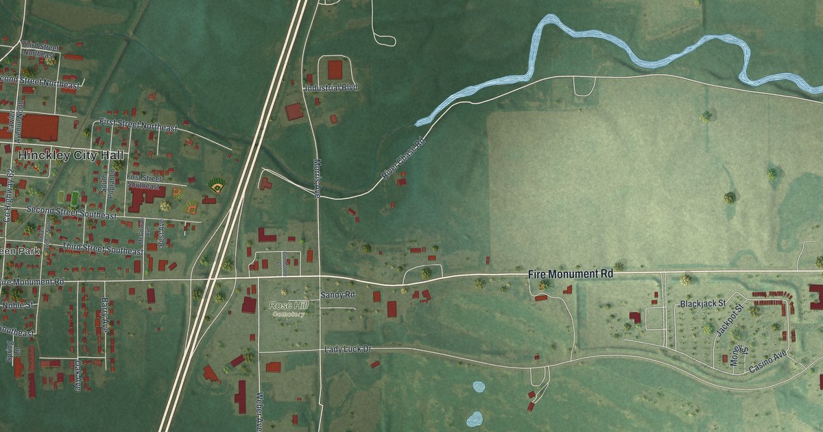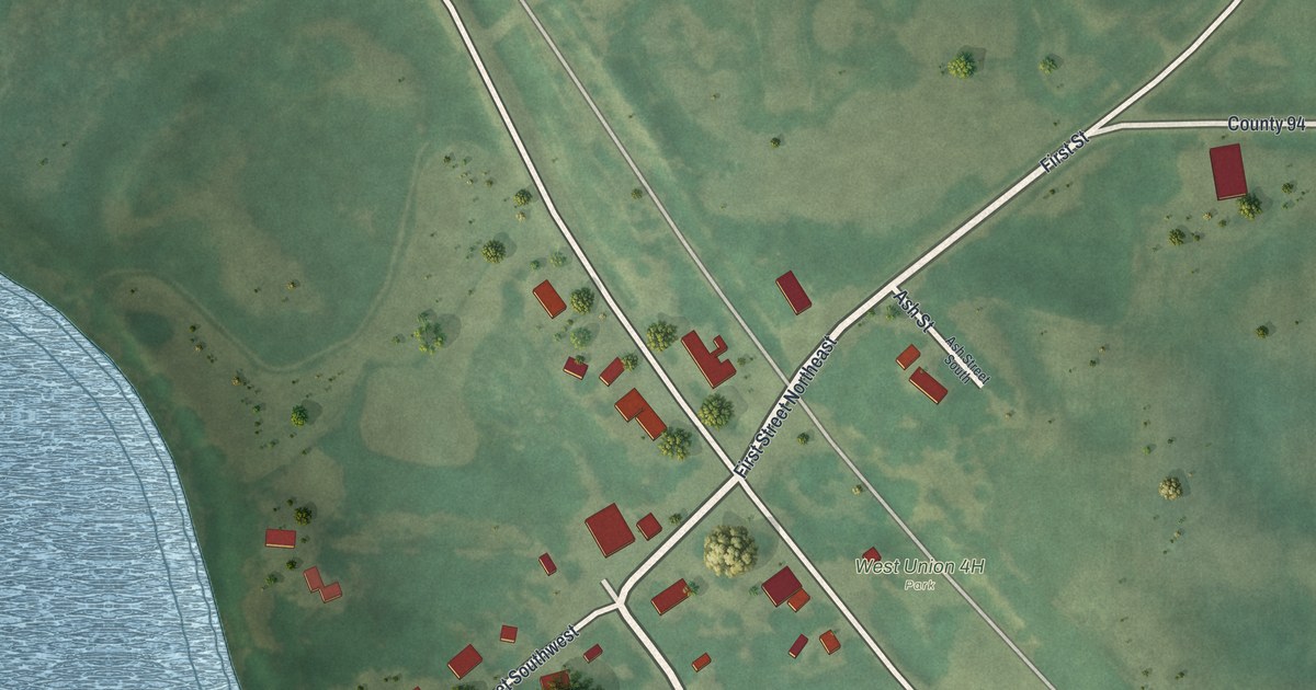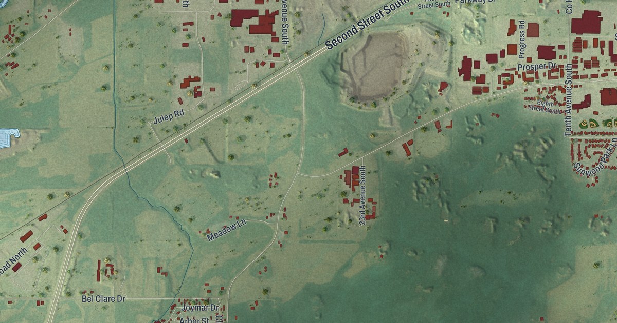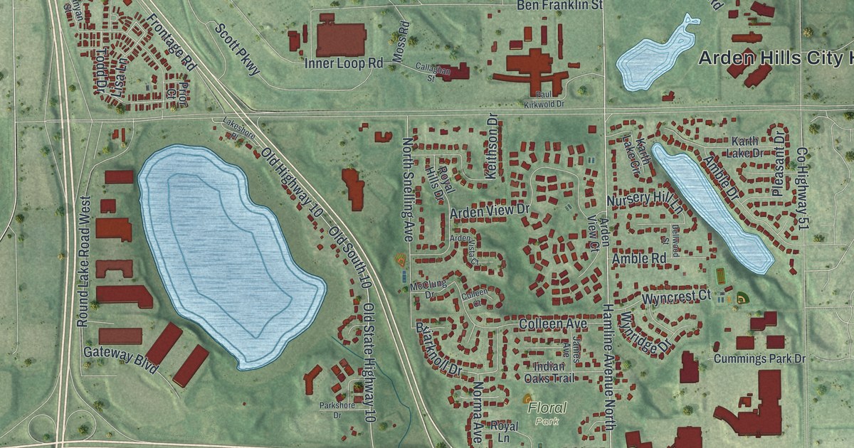
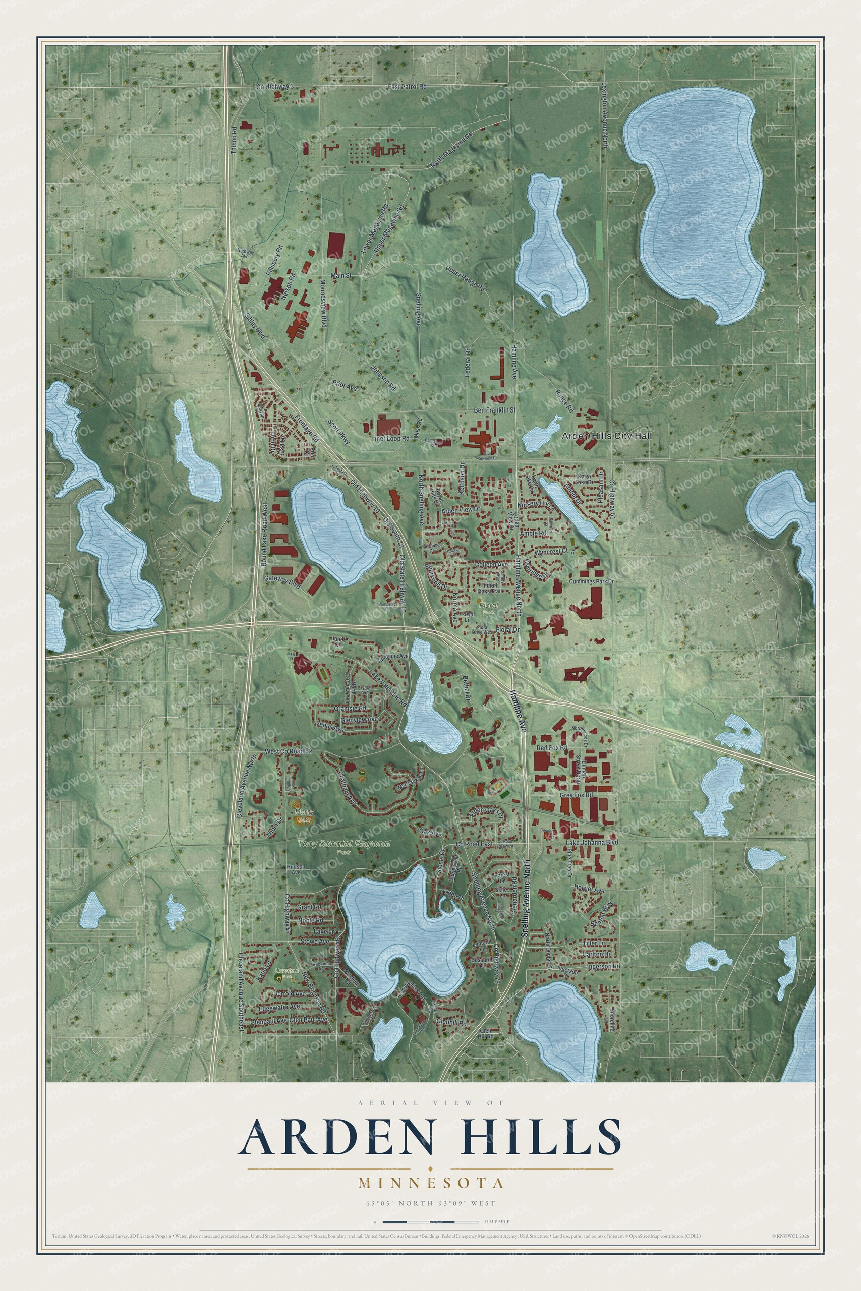
This beautifully detailed map of Arden Hills, Minnesota was created in 2026 using aerial imagery combined with modern topographical, census, street and landmark data. It's a modern aerial view of Arden Hills in Ramsey County, Minnesota, that combines modern data with a vintage aesthetic. The roads feature printed names, and if you look closely you can find your exact house accurately shown in its correct location.
Explore an aerial view of Arden Hills, Minnesota
On this map you'll find Arden Hills City Hall, Floral Park, Hazelnut Park, Perry Park, Tony Schmidt Regional Park, Hamline Avenue, Snelling Avenue North, Hamline Avenue North, Co Highway 3, North Magazine Road, Lower Magazine Road, Upper Magazine Road, and more. Each red shape is a building, so zoom in on the preview and look for yours.
Arden Hills is a city in Ramsey County. The Census Bureau counted 9,939 people here in 2020. The map prints the town name in its title panel, with the coordinates below it.
Take a closer look at the Arden Hills map
Names on this map
These names are printed on this map.
Places: Arden Hills City Hall, Floral Park, Hazelnut Park, Perry Park and Tony Schmidt Regional Park.
Streets and roads: Hamline Avenue, Snelling Avenue North, Hamline Avenue North, County Highway 3, North Magazine Road, Lower Magazine Road, Upper Magazine Road, Old State Highway 10, Glenhill Road, County Highway 76, Tiller Lane, County Highway 51.
More street names, A to Z
Amble Drive, Amble Road, Arden Oaks Drive, Arden Place, Arden View Court, Arden View Drive, Arden Vista Court, Asbury Avenue, Banyan Street, Beckman Avenue, Ben Franklin Street, Benton Way, Bethel Drive, Briarknoll Drive, Brighton Way, Bussard Court, Callaghan Street, Carlton Drive, Chatham Avenue, Cleveland Avenue North, Cleveland Avenue Southeast, Colleen Avenue, Colleen Court, Connelly Avenue, Consitution Way, Constitution Way, County Highway 47, County Highway 49, County Road East, County Road East West, Crystal Avenue, Cummings Park Drive, Dellwood Street, Dunlap Street North, East Patrol Road, Edgewater Avenue, Federal Road, Floral Drive, Floral Drive West, Forest Lane, Frontage Road, Gateway Boulevard, Glenarden Court, Glenarden Road, Glen Hill Road, Glen Paul Avenue, Glenpaul Avenue, Glenview Avenue, Gramsie Road, Grant Road, Grey Fox Road, Harriet Avenue, Highway Avenue, Hudson Avenue, Indian Oaks Trail, Ingerson Court, Ingerson Road, Inner Loop Road, James Avenue, Janet Court, Jerrold Avenue, Johnson Road, Karth Lake Circle, Karth Lake Drive, Katie Lane, Keithson Drive, Lake Johanna Boulevard, Lake Lane, Lakeshore Place, Lake Valentine Road, Lametti Lane, Lexington Avenue North, Lisa Lane, Main Street, McClung Drive, McCracken Lane, Moss Road, Moundsview Boulevard, Nelson Road, New Brighton Road, Noble Road, Norma Avenue, North Dunlap Street, North Fairview Avenue, North Snelling Avenue, Northwoods Drive, Nursery Hill Lane, Oak Avenue, Old Highway 10, Old South 10, Parkshore Drive, Paul Kirkwold Drive, Pillsbury Road, Pine Tree Drive, Pleasant Drive, Prior Avenue, Prior Court, Range Road, Red Fox Road, Ridgewood Road, Round Lake Road West, Royal Hills Drive, Royal Lane, Sandeen Road, Scott Parkway, Shoreline Lane, Shorewood Drive, Sibley Boulevard, Siems Court, Skiles Lane, Snelling Avenue, Stowe Avenue, Thom Drive, Thumb Road, Todd Drive, Upper Range Road, Valentine Avenue, Venus Avenue, West County Road E2, Wyncrest Court, Wynridge Drive.
Created by KNOWOL in 2026. The buildings are small red shapes, the roads carry their printed names, and shaded relief shows the shape of the land. The title panel reads "AERIAL VIEW OF ARDEN HILLS MINNESOTA" with 4, 5, °, 0, 5, ', , N, O, R, T, H, , 9, 3, °, 0, 9, ', , W, E, S, T.
Hang it in the hallway, the office or the cabin, or give it to someone who left Arden Hills and still calls it home. Open the preview and look for a street you know. See sizes and frames for the Arden Hills map.