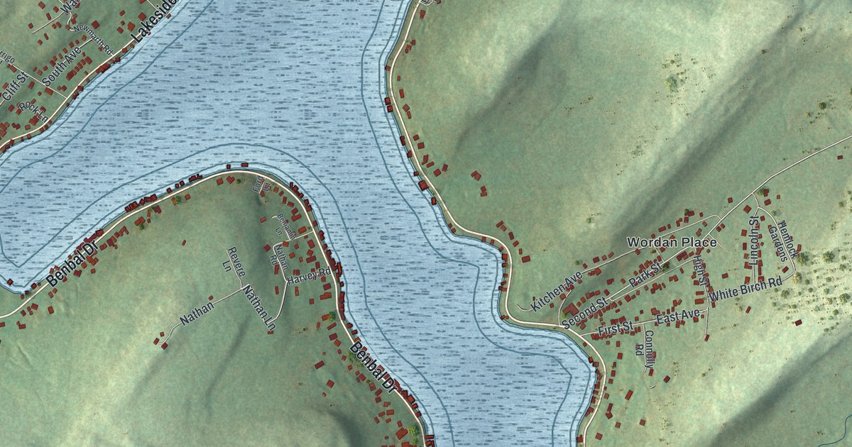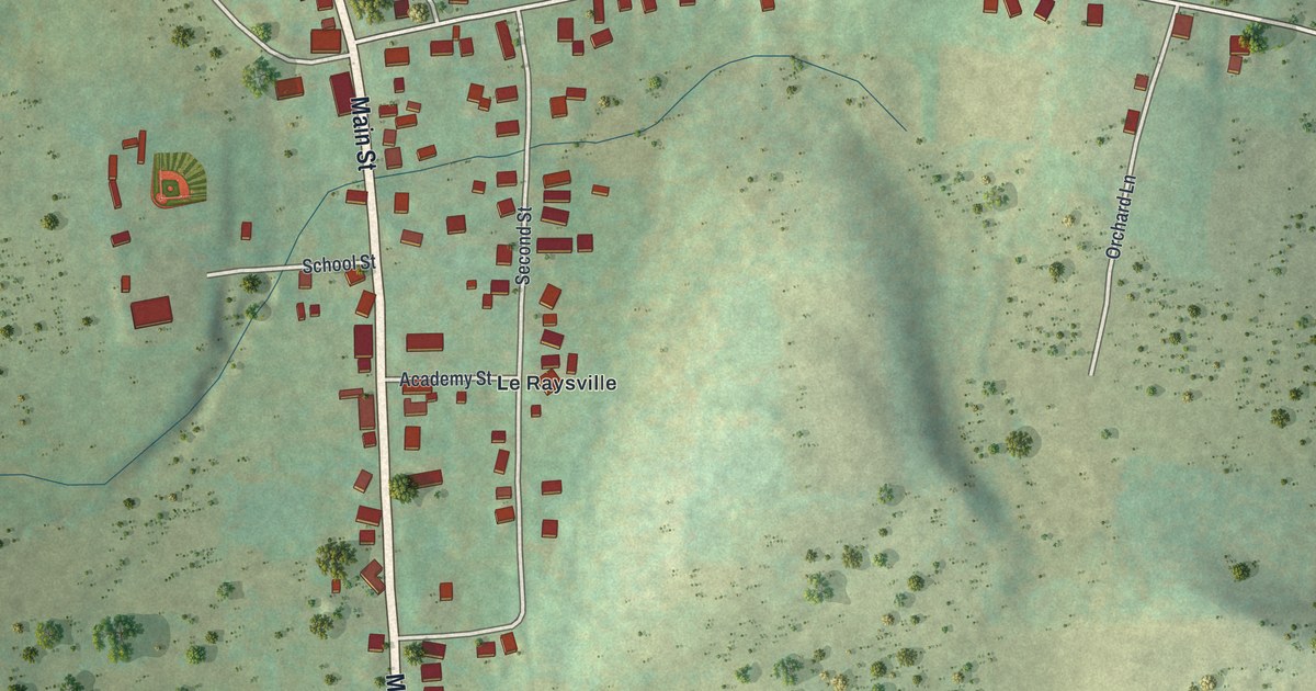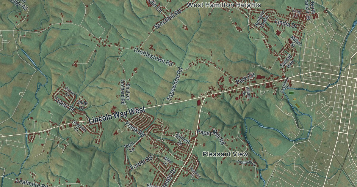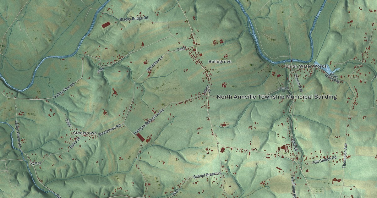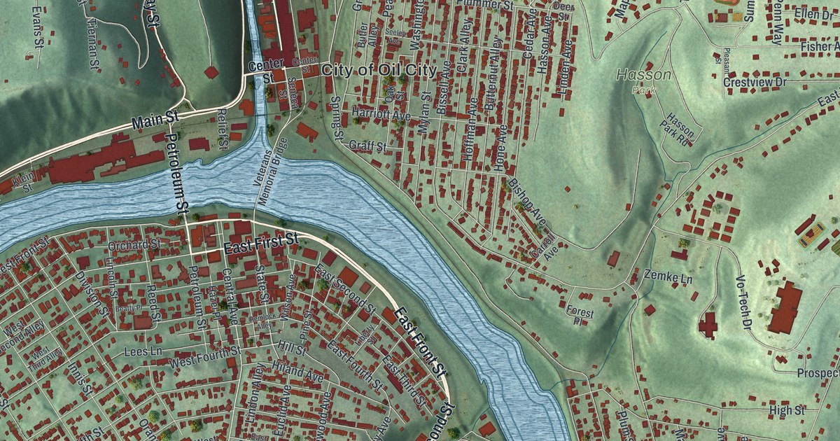
If you grew up in Oil City, look for your old block on this print. It's a modern aerial view of Oil City in Venango County, Pennsylvania, made with modern data and a vintage feel. Red buildings fill the river bends, with green hills rising around them. Bridges link the streets on both banks.
Oil City's Oil Well Supply Company
On this map you'll find Seneca Street, Petroleum Street, Main Street, Central Avenue, East Front Street, East First Street, State Street, Elm Street, Hasson Park, Siverly, Oliver Manor, and more. Each red shape is a building, so zoom in on the preview and look for yours.
Oil City's oil story includes the people who built the tools. The Oil Well Supply Company historical marker on East Front Street tells that story. You can find that street by name on this map. Founded nearby in 1878, the firm made oil well machinery and supplies. Its customers worked in oil fields across the globe. By the early 1900s, its workforce peaked at 2,000 people. In 1930, the company became part of U.S. Steel.
Seneca Street to Siverly on Your Wall
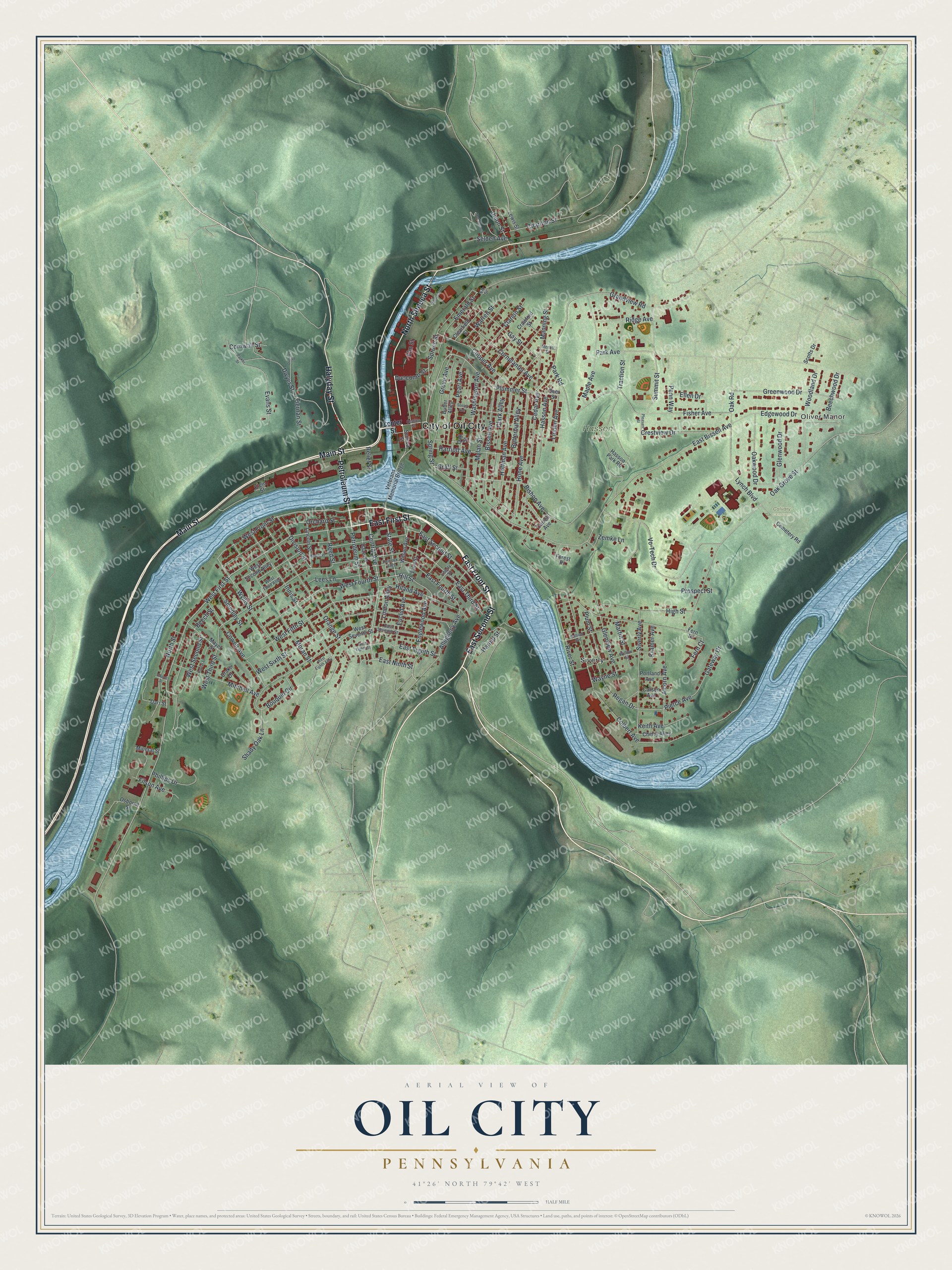
Created by KNOWOL in 2026, this print pairs shaded green hills with pale blue water and red buildings. A cream border surrounds the view. The title panel reads AERIAL VIEW OF, OIL CITY, PENNSYLVANIA, and 41°26' NORTH 79°42' WEST.
Hang it in a living room, office, or entryway to keep home close. It's a thoughtful gift for someone who grew up in Siverly or has family in Oil City. Open the preview and take a closer look at the streets you know. See sizes and frames for the Oil City map.