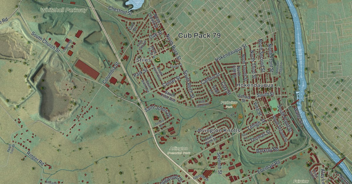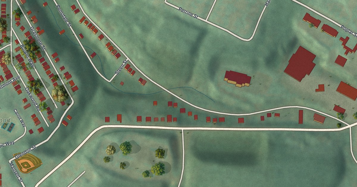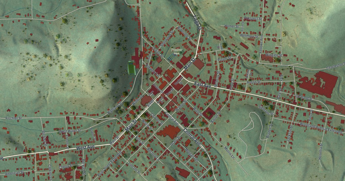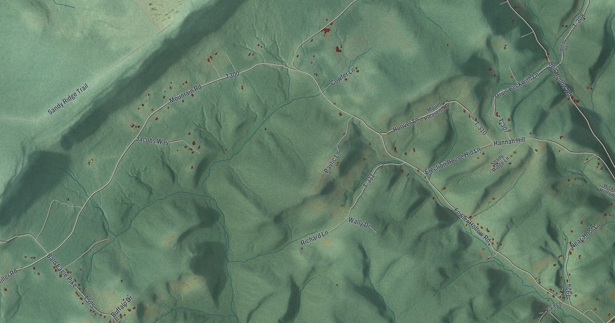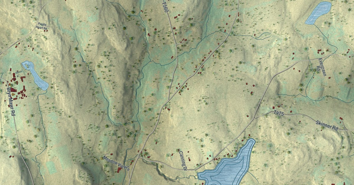
If you grew up in Oregon Township, look for your family's road on this print. It's a modern aerial view of Oregon in Wayne County, Pennsylvania, built from public terrain, road and building data, with a vintage feel. Green hills, blue ponds, and small red buildings fill the view around Carley Brook, Torrey, and Siko.
On this map you'll find Hancock Highway, Oregon Turnpike, Carley Brook, Torrey, Siko, Smith Hill Road, Carley Brook Road, Torrey Road, Fox Hill Road, Siko Road, Kellows Road, Hartman Road, and more. Each red shape is a building, so zoom in on the preview and look for yours.
How Oregon became a township
Oregon's story began with a hard trip to vote. The 1886 county history says residents of upper Berlin Township asked for their own township in 1846. Poor roads and the location of the voting place made voting difficult.
A court approved the split on May 12, 1847. They asked the Court of Quarter Sessions for a new township so they could vote without that trouble. The first tax list for the new township recorded 77 taxpayers.
Keep Carley Brook and Torrey close
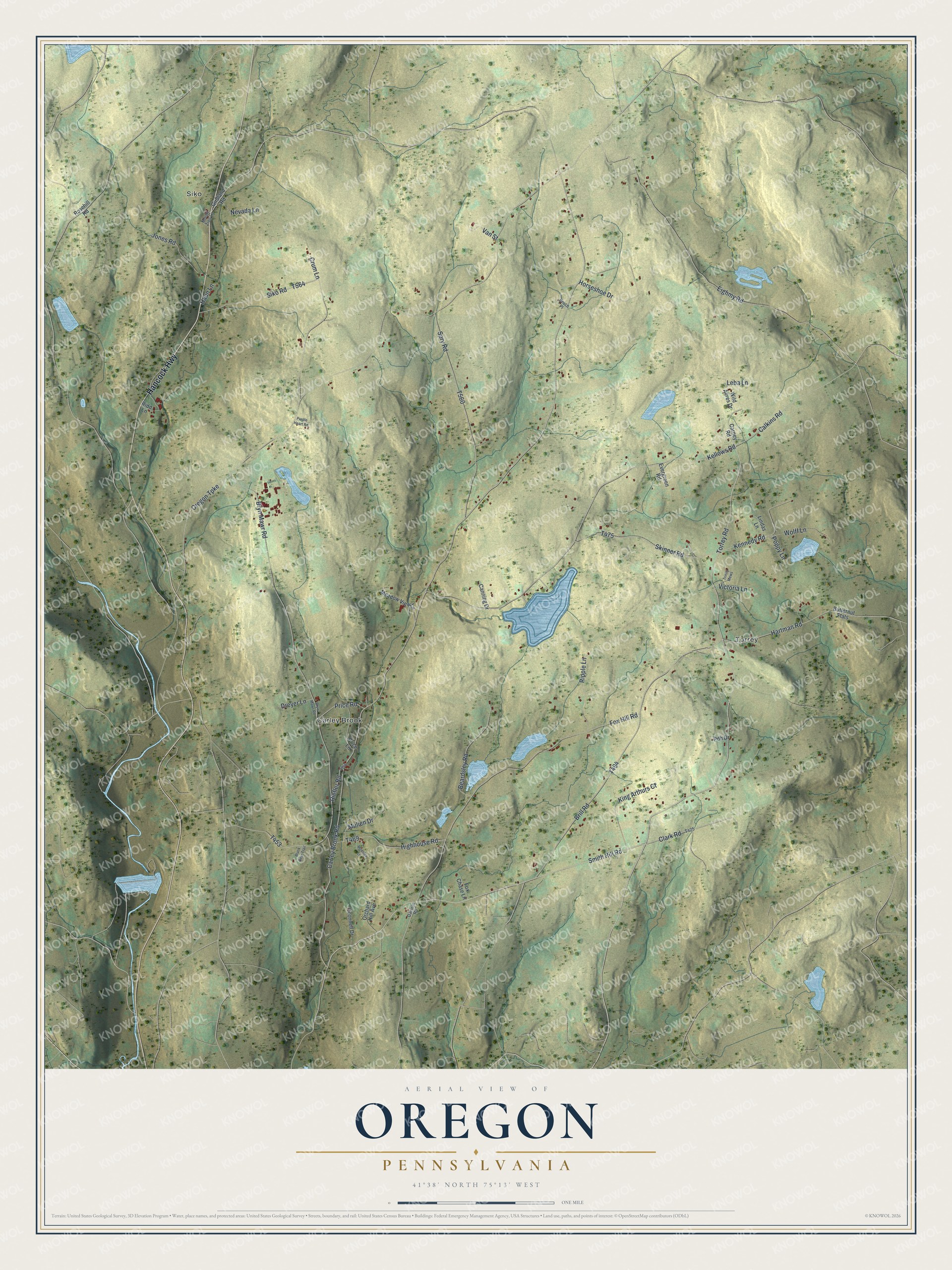
Created by KNOWOL in 2026, the print pairs soft green hills with blue water and red building shapes. A cream border surrounds the view. The title panel reads AERIAL VIEW OF, OREGON, PENNSYLVANIA, with 41°38' NORTH 75°13' WEST below.
Hang it in a living room, office, or entryway. It's a thoughtful gift for someone who grew up near Carley Brook or moved away from Torrey. Open the preview and find the roads you know. See sizes and frames for the Oregon map.