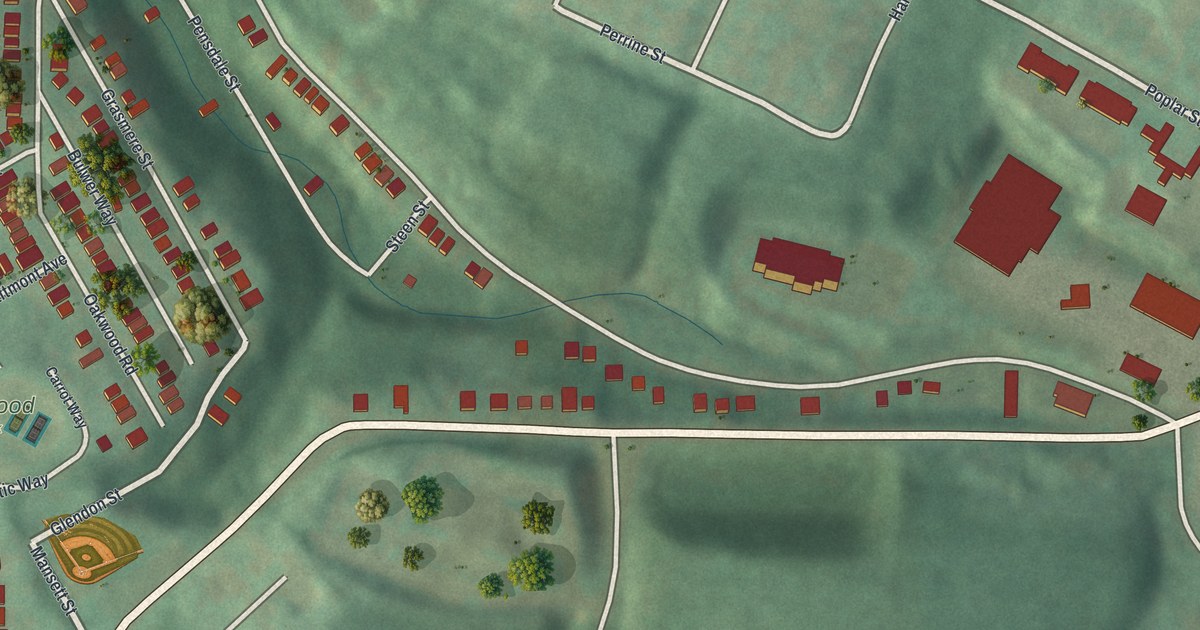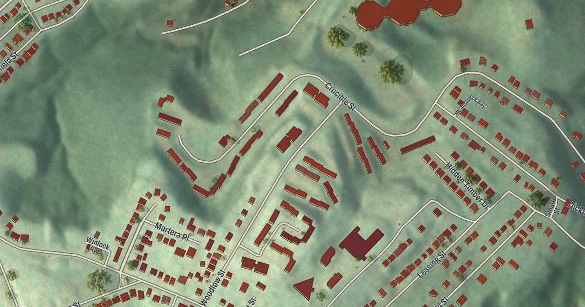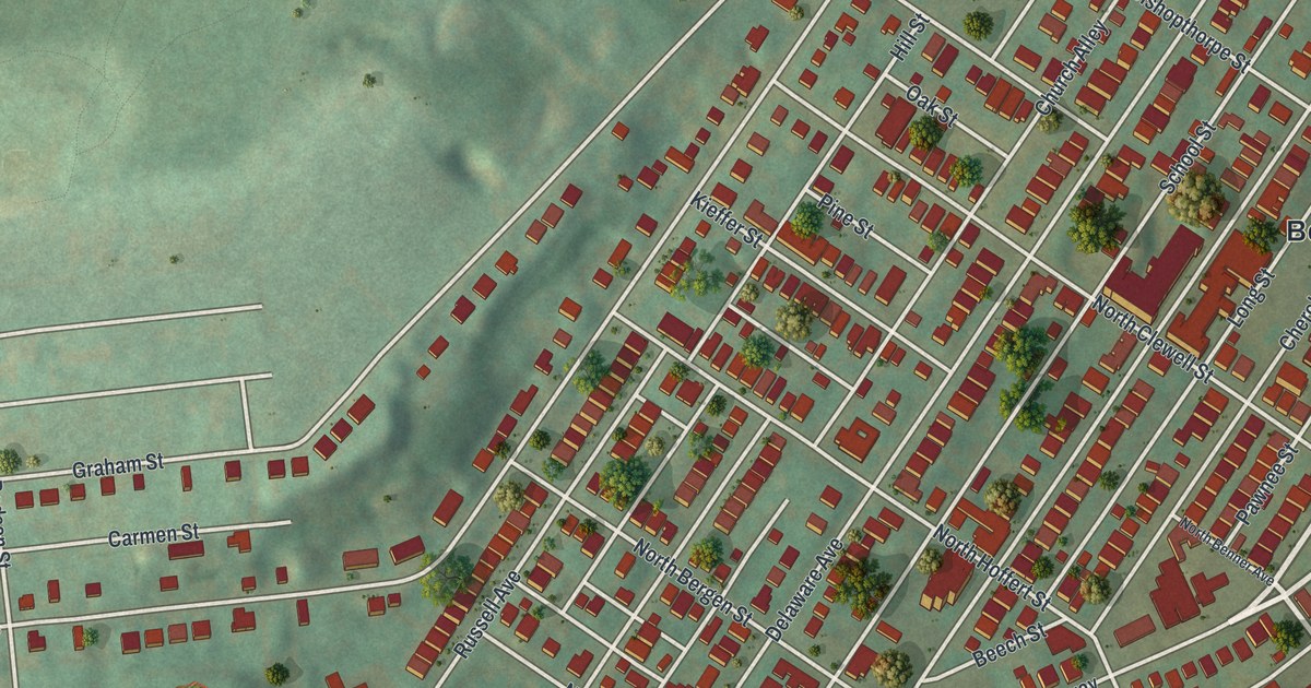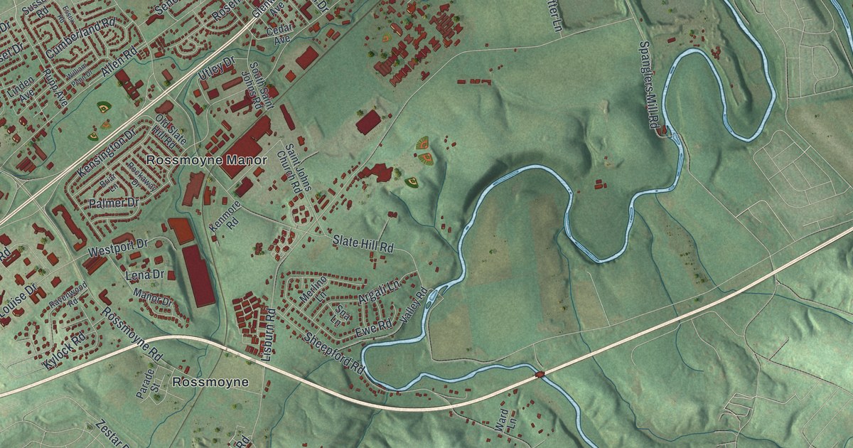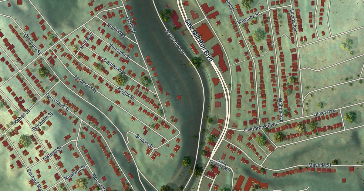
If you grew up in Overbrook, look for your old block on this print. It's a modern aerial view of Overbrook in Allegheny County, Pennsylvania, with a vintage feel. Red buildings line the streets, with shaded green hills between them. Fairhaven Greenway fills a broad green stretch near the bottom.
Overbrook Boulevard and the neighborhood streets
On this map you'll find Overbrook Boulevard, Saw Mill Run Boulevard, Library Road, Fairhaven Greenway, Maytide Street, Stewart Avenue, Glenbury Street, Fairhaven Road, Homehurst Avenue, Kingwood Street, and more. Each red shape is a building, so zoom in on the preview and look for yours.
The hills give this view its shape. Rows of small red buildings gather on the slopes, with green hollows between the blocks. Fairhaven Greenway adds a wide sweep of green below the busiest blocks. Saint George and Shaare Torah cemeteries appear toward the lower right, beside more rows of homes.
Stewart Avenue is on this map, and the state's historical marker record for Pittsburgh lists a marker near it at the south city line. It calls Pittsburgh the "Gateway to the West and steel center of the world." That's the city you're part of, and on this print you can find your own street by name.
Keep a view of Overbrook close
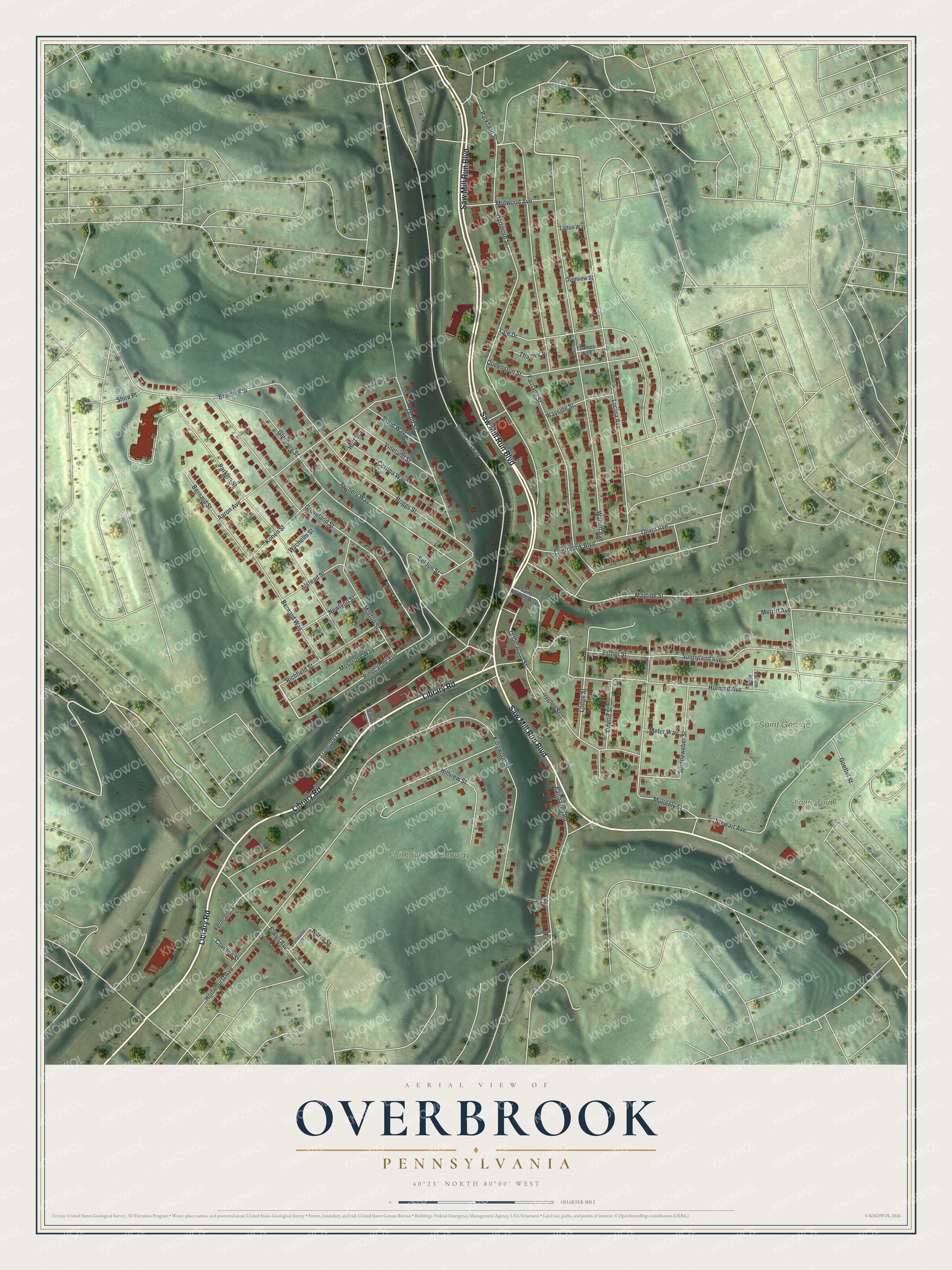
KNOWOL built this print in 2026 from public elevation, street, and building data. It pairs muted green terrain with red buildings and pale roads. A cream border surrounds the view. The title panel reads AERIAL VIEW OF OVERBROOK, PENNSYLVANIA, with 40°23' NORTH 80°00' WEST beneath it. Created by KNOWOL in 2026.
Hang it in a living room, office, or entryway. It's a gift for someone who grew up near Overbrook Boulevard and now lives far from home. Open the preview and take a closer look at the blocks you know. See sizes and frames for the Overbrook map.