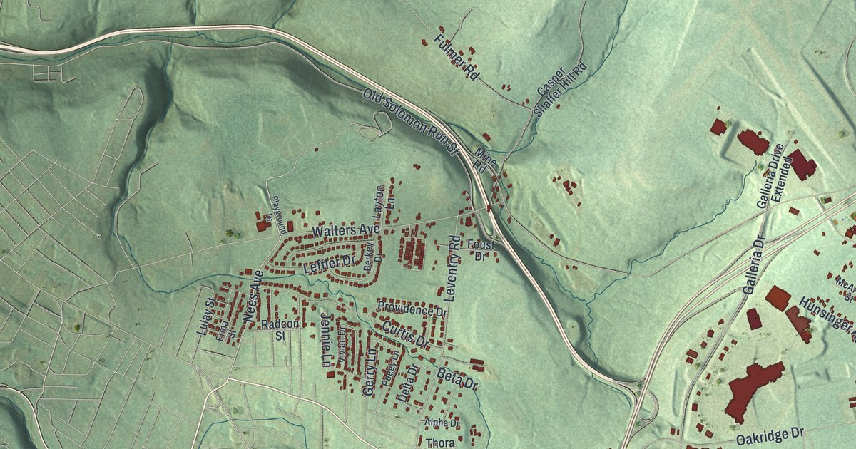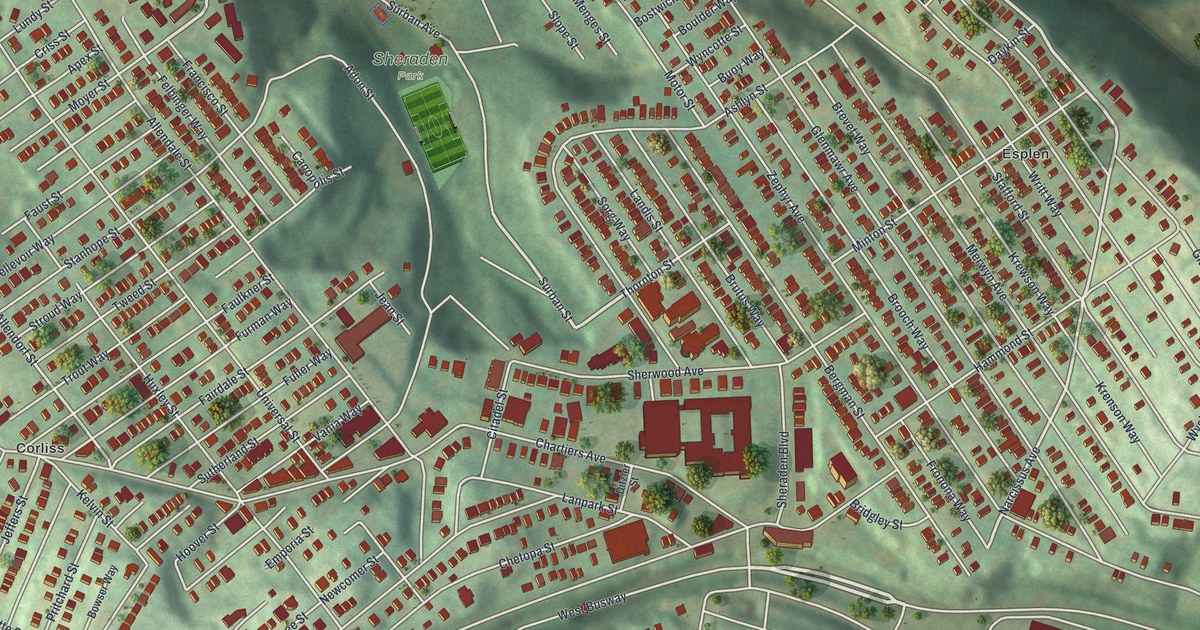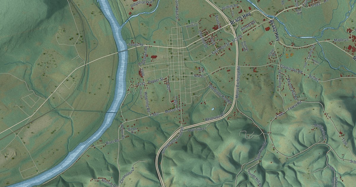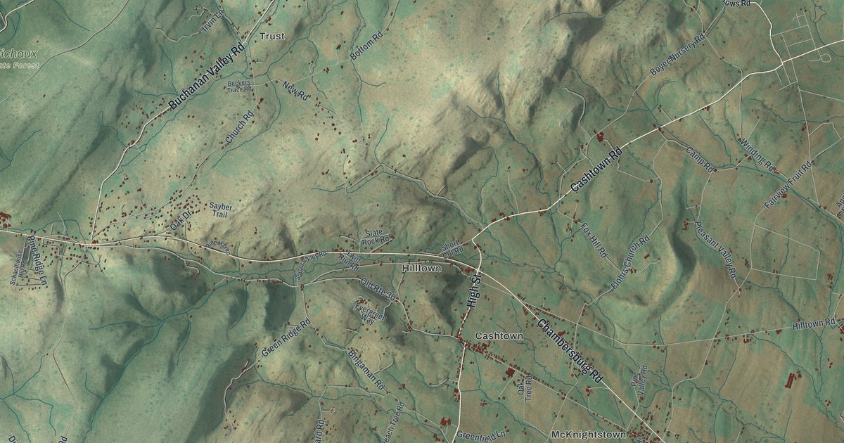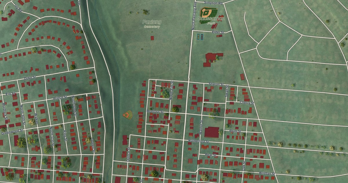
If you grew up near Derry Street, here's a view of home to keep close. This modern aerial view of Paxtang in Dauphin County, Pennsylvania pairs modern data with a vintage feel. Red buildings fill the street grid, with green ground around them. Saussaman Park and Paxtang Cemetery are named above the town's close-set blocks.
Derry Street and Paxton Church
On this map you'll find Derry Street, North Paxtang Avenue, Paxtang Municipal Building, Saussaman Park, Paxtang Cemetery, Brisban Street, Rutherford Street, Sharon Street, Wilhelm Road, Montour Street, Duke Street, and more. Each red shape is a building, so zoom in on the preview and look for yours.
North Paxtang Avenue and Sharon Street offer a link to Paxtang's early history. The Paxton Church historical markers place the church near those streets. Its first pastor, William Bertram, began in 1732. The churchyard holds the graves of John Harris, Jr., who founded Harrisburg, and Senator William Maclay. Those names connect this local church to the early history of the state capital. On the print, you can pick out the nearby blocks by their red buildings and named streets.
Keep Paxtang's Streets Close

Created by KNOWOL in 2026, the print pairs muted green ground with red buildings and pale roads. A cream border surrounds the view. The title panel reads AERIAL VIEW OF, PAXTANG, PENNSYLVANIA, and 40°16' NORTH 76°50' WEST.
Hang it in a living room, home office, or entryway. It's a thoughtful gift for someone who grew up near Saussaman Park and has moved away. Open the preview to find a familiar street and take a closer look at home. See sizes and frames for the Paxtang map.