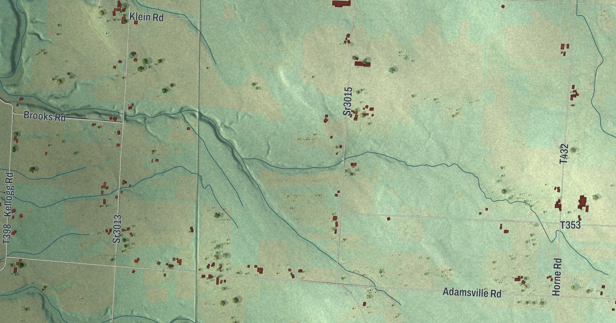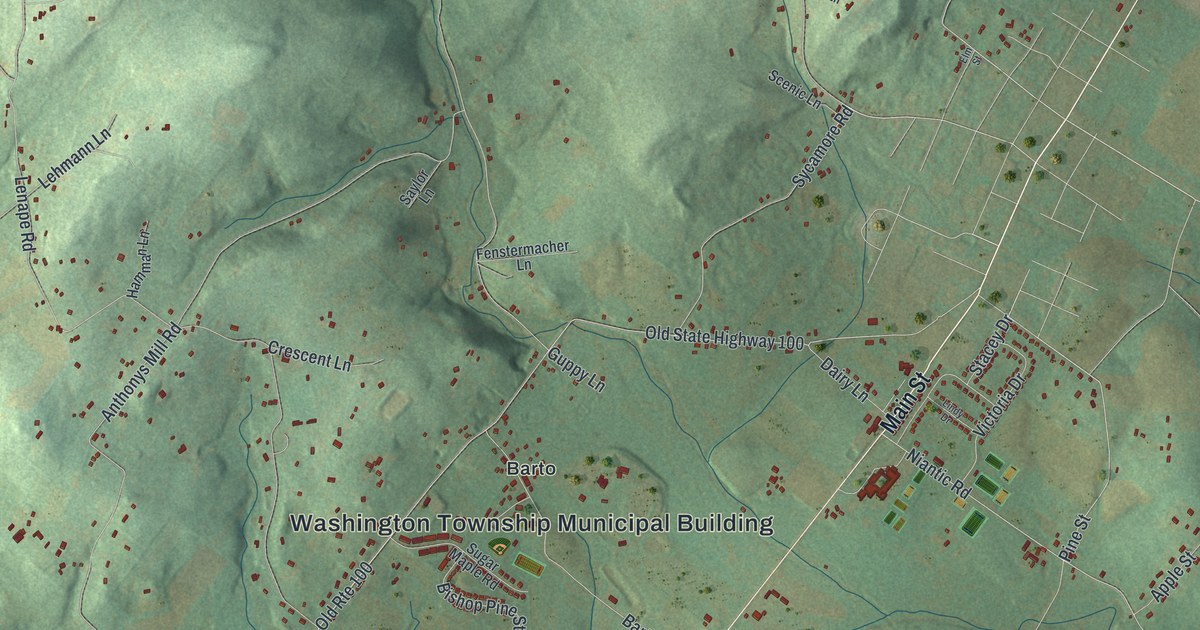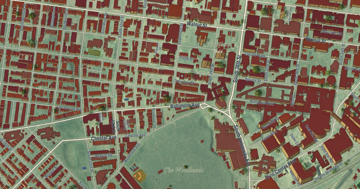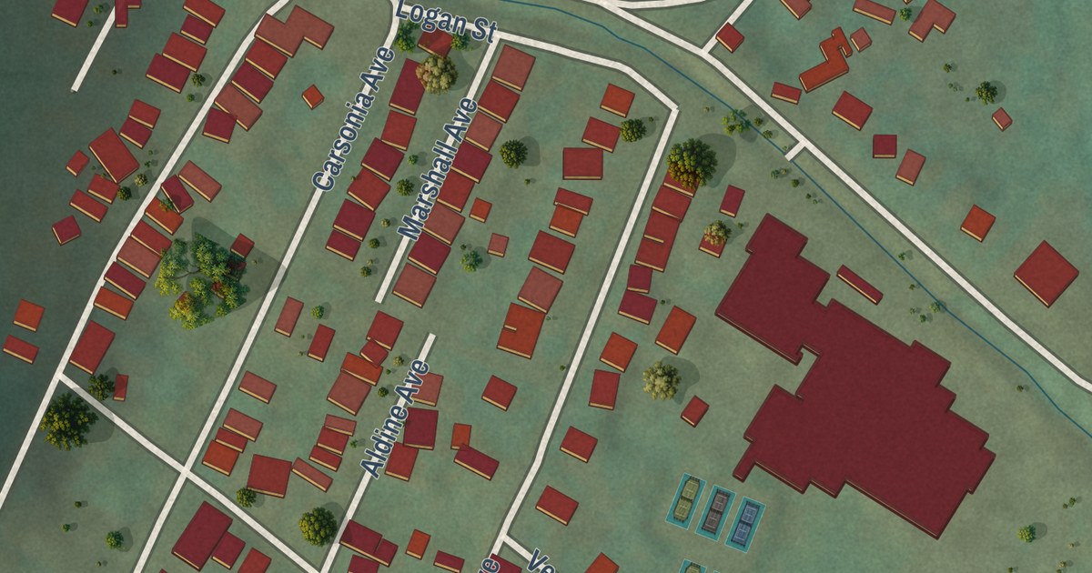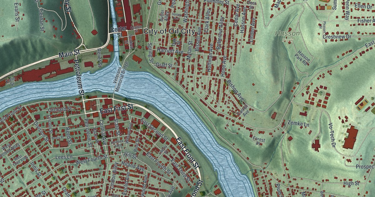
This beautifully detailed map of Oil City, Pennsylvania was created in 2026 using aerial imagery combined with modern topographical, census, street and landmark data. It’s a one-of-a-kind view of Oil City that combines accurate data with a vintage aesthetic. The map shows every building in its true location, many of the roads carry their names, and the shaded topographic relief shows the shape of the land.
Explore an aerial view of Oil City, Pennsylvania
On the map you’ll find City of Oil City, Oliver Manor, Hasson Park, Calvary Cemetery, and Siverly, along with East First Street, East Second Street, East Front Street, Petroleum Street, Halyday Street, North Seneca Street, Main Street, and more. If you look closely you can even find your house accurately drawn in its correct location. Zoom in on the preview to look for yours.
Did you know this piece of Oil City, Pennsylvania history?
In 1859 fewer than six families lived at Oil City. Then oil was found in the region, and the place became a boomtown. Barges floated oil down Oil Creek into town. There it was loaded onto steamboats and bulk barges bound for Pittsburgh.
Take a closer look at the Oil City map
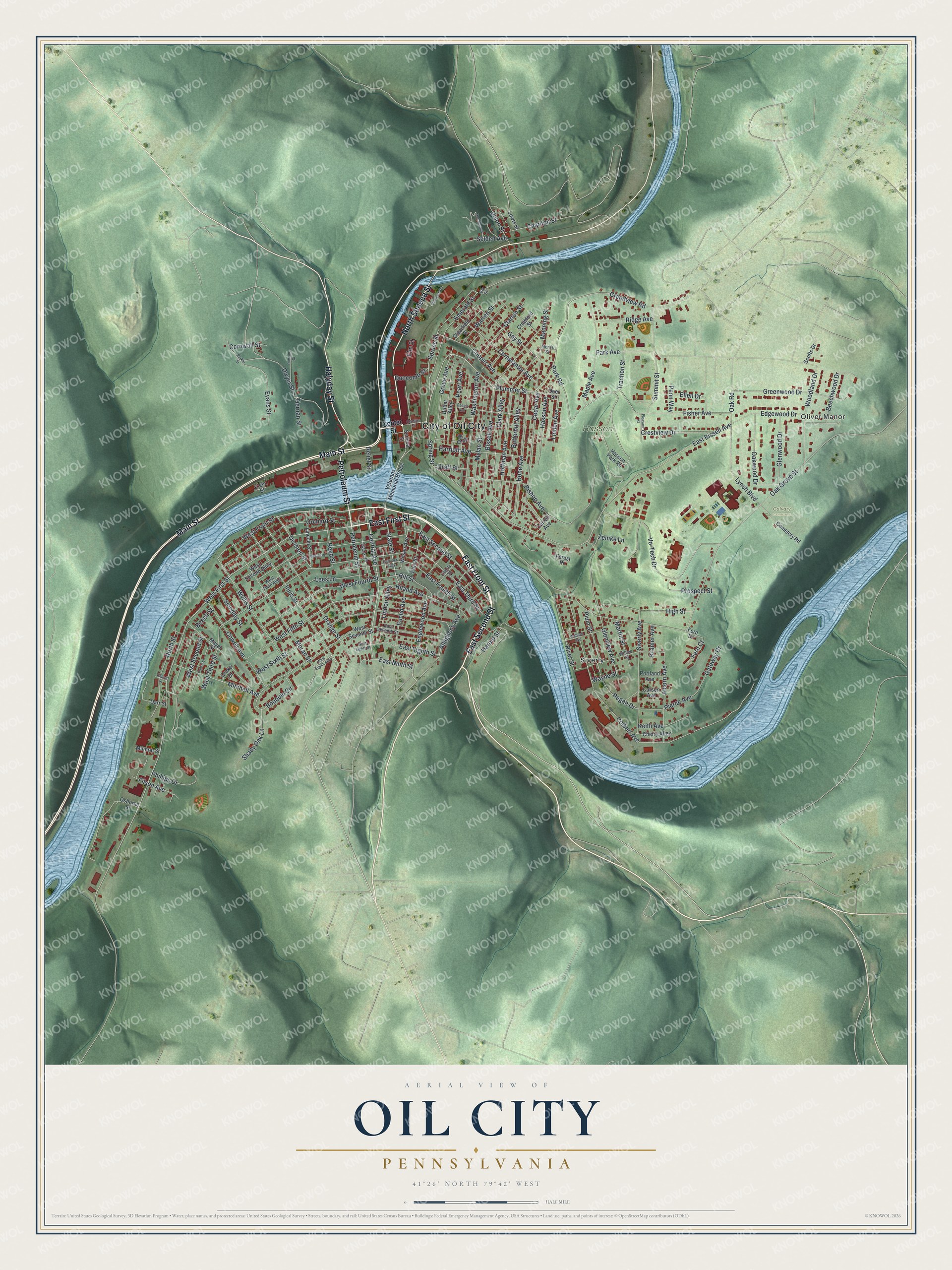
Street and place names on the Oil City, Pennsylvania map
These names are printed on the map of Oil City, Pennsylvania.
Places: City of Oil City, Oliver Manor, Hasson Park, Calvary Cemetery and Siverly.
Streets and roads: East First Street, East Second Street, East Front Street, Petroleum Street, Halyday Street, North Seneca Street, Main Street, Central Avenue, East Ninth Street, Innis Street, State Street, Plummer Street.
More street names, A to Z
Abbott Street, Alcorn Avenue, Allegheny Avenue, Beatty Place, Beech Street, Beechwood Drive, Bishop Avenue, Bissell Avenue, Bouquin Circle, Butler Alley, Butternut Alley, Carroll Avenue, Carson Avenue, Cedar Avenue, Cemetery Road, Center Street, Charlton Street, Cherry Alley, Clarion Street, Clark Alley, Clearfield Street, Colbert Avenue, Cooper Avenue, Cornplanter Avenue, Cornwall Street, Cowell Avenue, Crawford Street, Crestview Drive, Darr Street, Deer Street, Division Street, Drake Drive, Duncan Street, Duncomb Street, Dwyer Street, East Bissell Avenue, East Eighth Street, East Fourth Street, East Seventh Street, East Third Street, Edgewood Drive, Elk Street, Ellen Drive, Elm Street, Emerald Street, Englewood Avenue, Euclid Avenue, Evans Street, Fern Court, Fern Drive, Filson Avenue, Fisher Avenue, Forest Place, Gateway Drive, Gay Street, Glenview Avenue, Glenwood Drive, Graff Street, Grandview Road, Greenwood Drive, Grove Avenue, Harold Street, Harriott Avenue, Hasson Avenue, Hasson Park Road, Hazel Place, Hemlock Alley, High Street, Hiland Avenue, Hill Street, Hoffman Avenue, Hone Avenue, Keith Avenue, Klein Street, Kramer Avenue, Lees Lane, Lewis Street, Liberty Street, Lincoln Street, Linden Avenue, Lindon Alley, Lynch Boulevard, Manning Street, Maple Avenue, Martin Street, Mayer Street, McCammon, Memorial Drive, Merritt Street, Mineral Street, Mitchell Avenue, Moran Street, Mylan Street, North Street, Oak Grove Street, Oak Road, Oak Street, Oakwood Drive, Orange Street, Orchard Street, Osborne Street, Park Avenue, Parker Street, Park Road, Pearl Avenue, Penn Way, Phillips Drive, Pierce Avenue, Pine Street, Pleasant Street, Plum Street, Poplar Street, Portland Avenue, Prospect Street, Reed Street, Regan Drive, Relief Street, Ridge Avenue, River Street, Scotts Drive, Seeley Avenue, Selden Avenue, Seneca Street, Shady Oak Lane, Siverly Avenue, Smedley Street, Spring Street, Spruce Street, Summit Street, Tiernan Street, Traction Street, Union Street, Veterans Memorial Bridge, Vo-Tech Drive, Wabash Avenue, Warren Street, Washington Avenue, Wayne Street, West Eighth Alley, West Eighth Street, West Fifth Street, West First Street, West Fourth Street, West Front Street, West Second Alley, West Second Street, West Seventh Street, West Sixth Street, West Third Alley, West Third Street, Willow Street, Wilson Avenue, Woodland Drive, Wyllis Street, Zemke Lane.
See the Oil City, Pennsylvania map on a wall
The Oil City map as an 18 x 24 inch print in a black frame.

This beautifully detailed map of Oil City makes an attractive addition to your office, library, or den, and it can even be used to teach children the geography and history of the area. It also makes a great gift for anyone with Oil City roots. When you’re done exploring, click here to get your copy of the Oil City map.