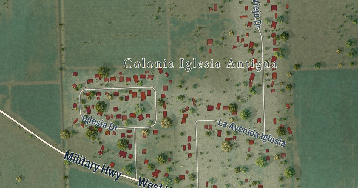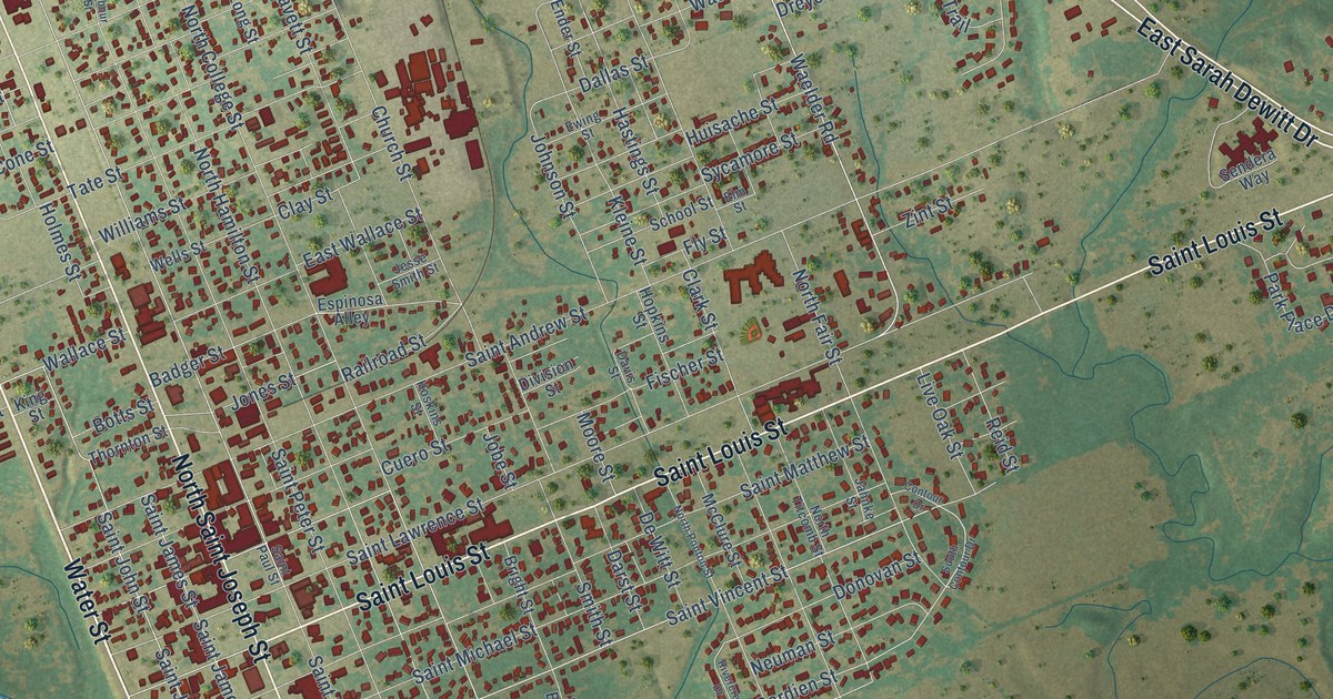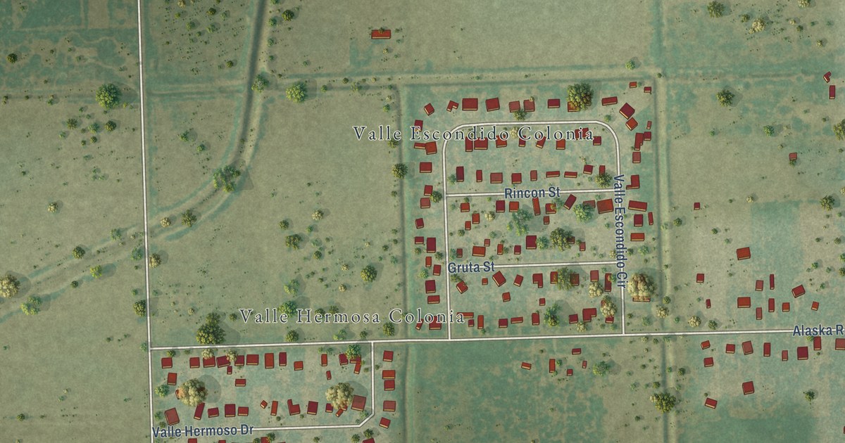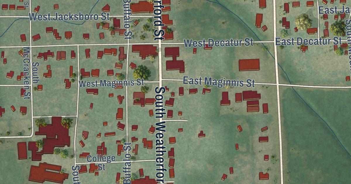
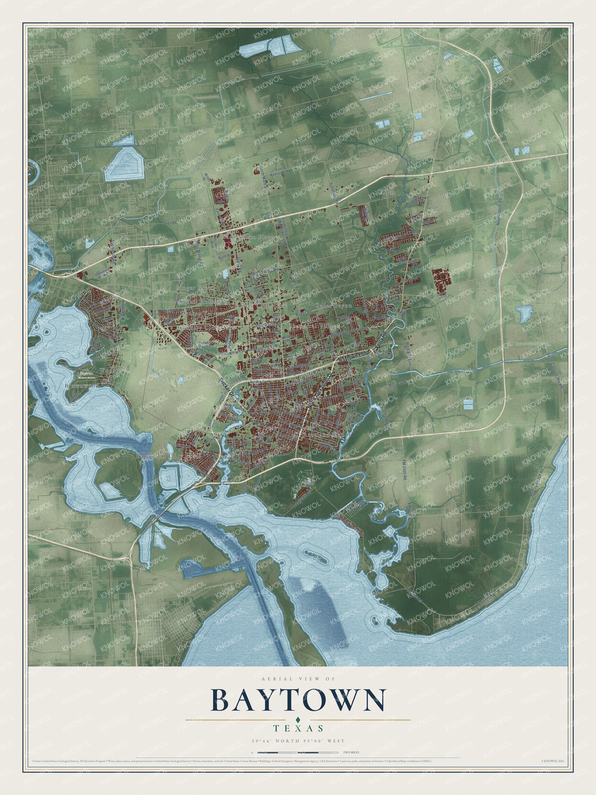
This beautifully detailed map of Baytown, Texas was created in 2026 using aerial imagery combined with modern topographical, census, street and landmark data. It’s a one-of-a-kind view of Baytown that combines accurate data with a vintage aesthetic. The map shows every building in its true location, many of the roads carry their names, and the shaded topographic relief shows the shape of the land.
Explore an aerial view of Baytown, Texas
On the map you’ll find Baytown City Hall, Baytown Nature Center, Allenbrook, Brownwood, Cedar Bayou, Chaparral Village, Country Club Cove, Country Club Estates, Country Club Gardens, Eldon, and Ginger Green, along with Decker Terrace, and more. If you look closely you can even find your house accurately drawn in its correct location. Zoom in on the preview to look for yours.
Did you know this piece of Baytown, Texas history?
From the Handbook of Texas: "But, when Pelly and Goose Creek voted to consolidate in early 1947, the citizens selected the name Baytown for their new combined city."
Take a closer look at the Baytown map
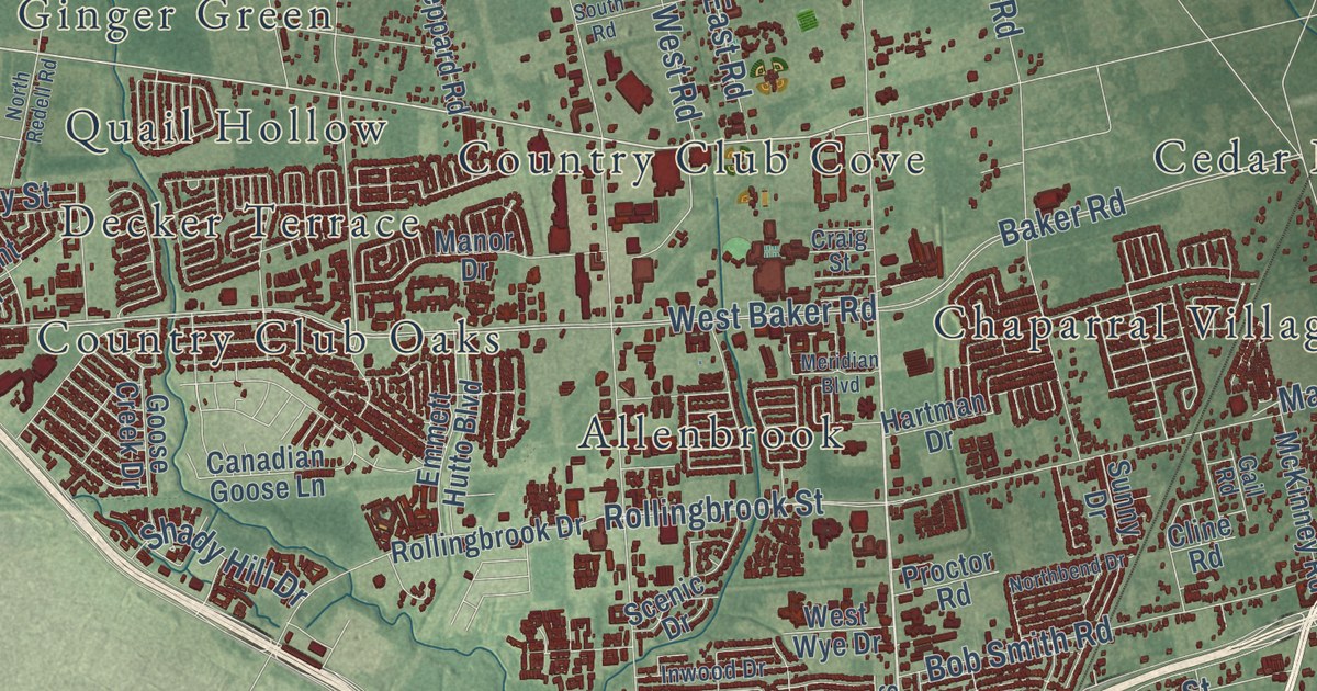
Street and place names on the Baytown, Texas map
These names are printed on the map of Baytown, Texas.
Places: Baytown City Hall, Baytown Nature Center, Eldon, Chaparral Village, Decker Terrace, Roseland Manor, San Jacinto Place, Pelly, Allenbrook, Cedar Bayou, Country Club Cove, Wooster, Quail Hollow, Brownwood, Country Club Oaks and Ginger Green.
Streets and roads: North Alexander Drive, Ferry Road, Baytown Loop, Decker Drive, Tri City Beach Road, FM 2354 Road, Garth Road, South Cotton Lake Road, West Main Street, FM 2354, Kilgore Road, Thompson Road.
More street names, A to Z
Airhart, Alva Avenue, Amy Drive, Ash Street, Azalea Drive, Baker Road, Barkaloo Road, Barrymore Boulevard, Bay Oaks Harbor Drive, Bayou Avenue, Bayshore Drive, Bayway Drive, Beaumont Street, Berkely Court, Bob Smith Road, Bowie Street, Britton Street, Burnett Drive, Bush Road, Caldwell Street, Canadian Goose Lane, Carol Crst, Cedar Bayou Road, Cedar Landing Drive, Cherry Street, Cline Road, Craigmont Boulevard, Craig Street, Crosby Cedar Bayou Road, Crow Road, Crystal Boulevard, Danubina Street, Devinwood Drive, Dorris Street, East De Fee Street, East Elvinta Street, East Fayle Avenue, East Gulf Street, East James Street, Eastpoint Boulevard, East Road, East Texas Avenue, East Wallisville Road, Ellen Street, Elm Street, Emmett Hutto Boulevard, Evergreen Road, Felton Street, FM 1405, FM 1405 Road, Gail Road, Goose Creek Drive, Granville Street, Greenbriar Street, Hardin Road, Harold Lane, Hartman Drive, Harvard Street, Hayes Lane, High Street, Hill Street, Hunt, Hunters Trace Lane, Hunt Road, Inwood Drive, Ivie Lee Street, John Martin Road, Jones Road, Kelley, Kipling Street, Lee Drive, Long Drive, Lynnwood Drive, Mabry Street, Manor Drive, Maple Lane, Mapleton Avenue, Market Street, Massey Tompkins Road, McKinney Road, McLean Road, Memorial Drive, Meridian Boulevard, Michigan Street, Middleton Street, Miriam Street, Missouri Street, Narcille Street, Needlepoint Road, Northbend Drive, North Burnett Drive, North Fifth Street, North Jones Street, North Main Street, North Redell Road, North Road, Oak Leaf Drive, Old FM 1405, Old Needlepoint Road, Old Road, Olive Street, Park Street, Pinehurst Drive, Pin Oak Street, Proctor Road, Raccoon Drive, Red Cedar Drive, Rollingbrook Drive, Rollingbrook Street, Rosille Street, San Jacinto Boulevard, Scenic Drive, Schilling Street, Shady Hill Drive, Shale Drive, Sheppard Road, Sheridan Drive, Shirley Street, Sjolander Road, South Alexander Drive, South Burnett Drive, South FM 565 Road, South Lanier Drive, South Pruett Street, South Road, Spring Lane, Staples Drive, State Street, Sterling Drive, Summer Lane, Sunny Drive, Tallant Lane, Thompson Park Drive, Timber Lane, Tompkins Drive, Utah Street, Wade Road, Ward Road, West Adoue, West Archer Road, West Baker Road, West Bay Exit, West Bay Road, West Bayshore Drive, West Gulf Street, West Lobit Avenue, West Road, West Shreck Street, West Texas Avenue, West Wye Drive, Willet Street, William Scott Street, Yupon Street.
See the Baytown, Texas map on a wall
The Baytown map as an 18 x 24 inch print in a black frame.

This beautifully detailed map of Baytown makes an attractive addition to your office, library, or den, and it can even be used to teach children the geography and history of the area. It also makes a great gift for anyone who grew up in Baytown or moved away. When you’re done exploring, click here to get your copy of the Baytown map.