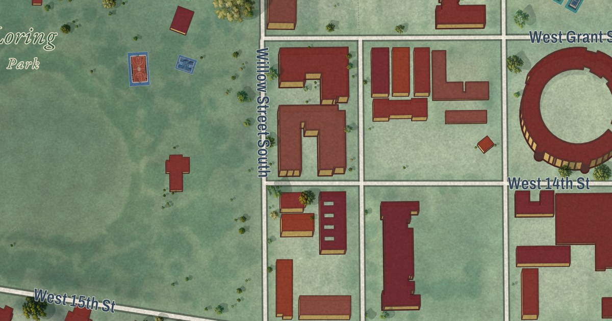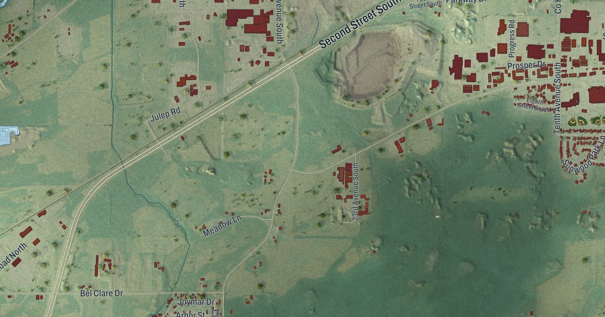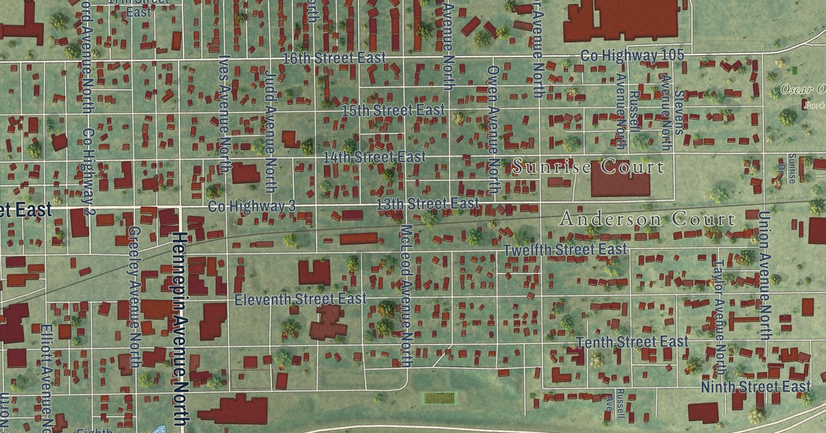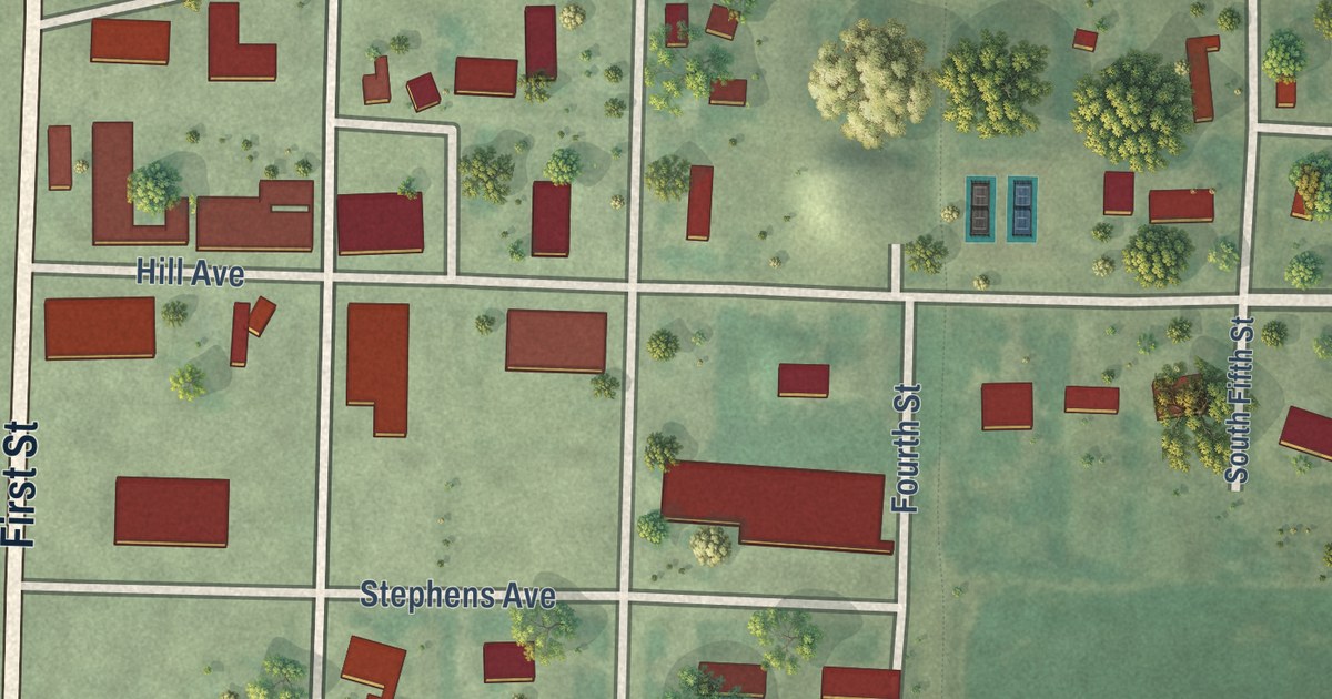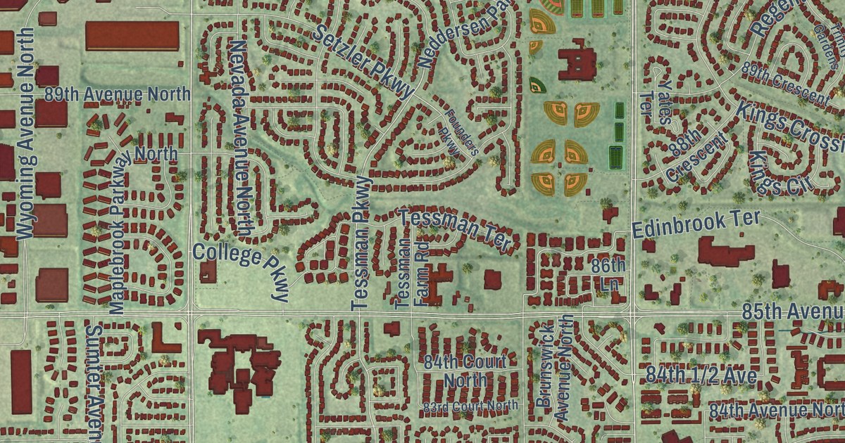
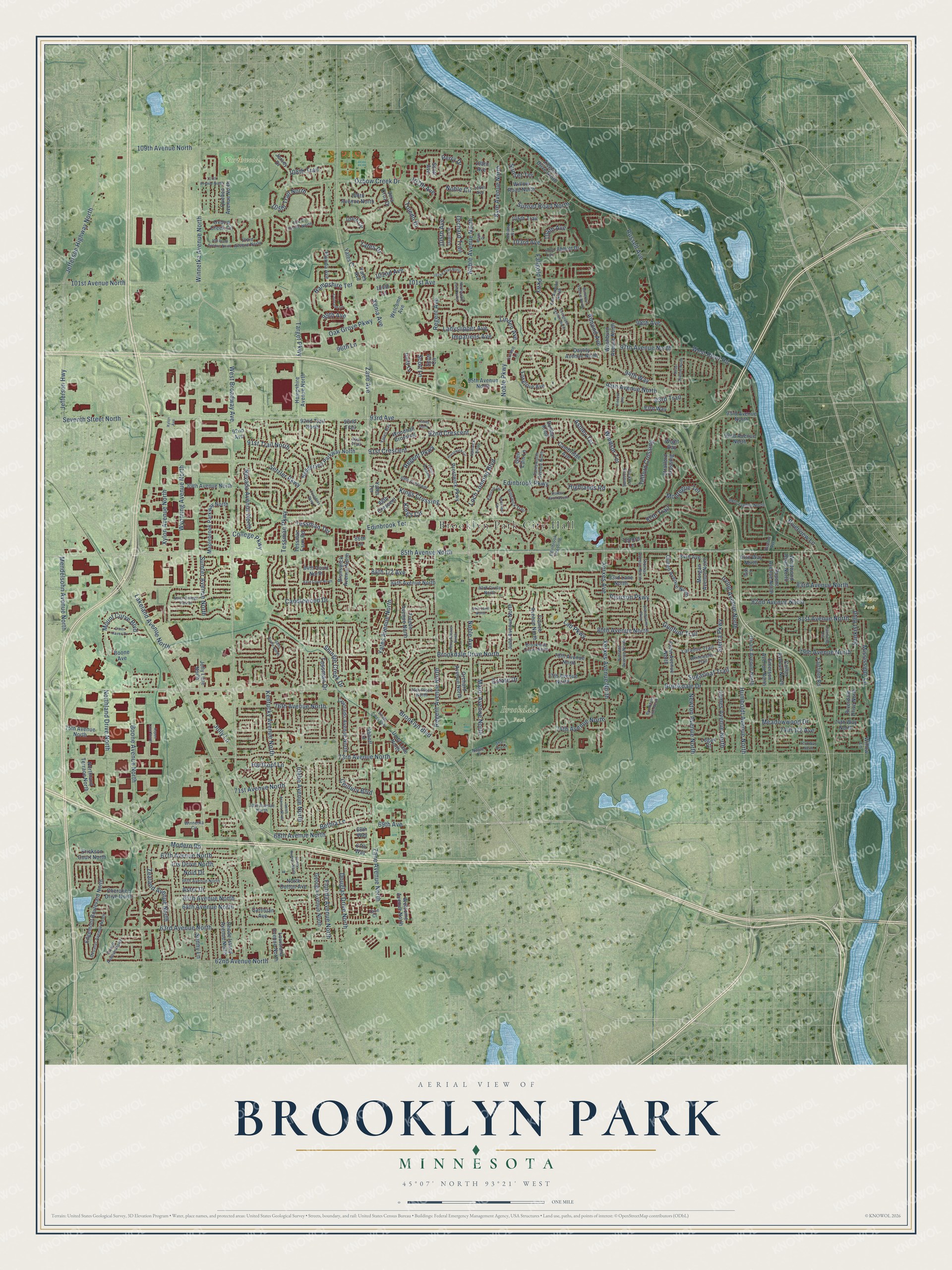
This beautifully detailed map of Brooklyn Park, Minnesota was created in 2026 using aerial imagery combined with modern topographical, census, street and landmark data. It’s a one-of-a-kind view of Brooklyn Park that combines accurate data with a vintage aesthetic. The map shows every building in its true location, many of the roads carry their names, and the shaded topographic relief shows the shape of the land.
Explore an aerial view of Brooklyn Park, Minnesota
On the map you’ll find Brooklyn Park City Hall, Brookdale Park, Northwoods Park, Oak Grove Park, Palmer Lake Park, and River Park, along with West Broadway Avenue, Brooklyn Boulevard, Winnetka Avenue North, 93rd Avenue, Lakeland Avenue North, Humboldt Avenue North, and more. If you look closely you can even find your house accurately drawn in its correct location. Zoom in on the preview to look for yours.
Did you know this piece of Brooklyn Park, Minnesota history?
From the City of Brooklyn Park: "Brooklyn Township was originally an area larger than what is now Brooklyn Park and Brooklyn Center today. In 1860, two tiers of sections were cutoff in the south, forming the towns of Brooklyn Center and Crystal Lake."
Take a closer look at the Brooklyn Park map
Street and place names on the Brooklyn Park, Minnesota map
These names are printed on the map of Brooklyn Park, Minnesota.
Places: Brooklyn Park City Hall, Brookdale Park, Northwoods Park, Oak Grove Park and River Park.
Streets and roads: West Broadway Avenue, Noble Parkway, 93rd Avenue, Lakeland Avenue North, Humboldt Avenue North, Noble Avenue North, 68th Avenue North, 69th Avenue, Seventh Street North, 73rd Avenue North, Winnetka Avenue North, 81st Avenue North.
More street names, A to Z
62nd Avenue North, 63rd Avenue North, 64th Avenue North, 65th Avenue North, 66th Avenue North, 67th Avenue North, 67th Way, 68th Way, 70th Avenue North, 71st Avenue North, 73rd Way North, 74th Avenue North, 74th Way North, 75th Avenue North, 76th Avenue North, 76th Place North, 77th Avenue North, 78th Avenue North, 79th Avenue North, 80th Avenue North, 81st Lane North, 82nd Avenue North, 83rd Avenue North, 83rd Circle North, 83rd Court North, 83rd Lane North, 84th Avenue, 84th Avenue North, 84th Court, 84th Court North, 84th Way North, 85th Avenue North, 86th Lane, 87th Trail, 88th Avenue North, 88th Crescent, 89th Avenue North, 89th Crescent, 91st Crescent, 91st Trail, 91st Trail North, 92nd Avenue, 92nd Avenue North, 92nd Crescent, 92nd Trail, 92nd Trail North, 93rd Avenue North, 93rd Trail, 93rd Way, 94th Avenue North, 94th Way, 95th Avenue North, 96th Lane, 97th Avenue North, 98th Avenue, 99th Avenue, 100th Lane, 101st Avenue, 101st Avenue North, 102nd Avenue, 102nd Trail North, 103 Road Avenue North, 103rd Avenue, 103rd Avenue North, 103rd Trail, 104 Th Circle North, 104th Avenue, 104th Circle, 105th Avenue, 105th Trail, 105th Trail North, 106th Avenue, 106th Avenue North, 107th Avenue, 107th Avenue North, 108th Avenue, 108th Trail, 109th Avenue North, Abbott Drive, Abbott Lane, Almond Avenue, Ashley Terrace, Aspen Lane North, Aster Drive, Bethia Lane, Boone Avenue, Boone Avenue North, Brandywine Parkway, Brookdale Circle North, Brookdale Drive, Brookdale Drive North, Brookdale Lane North, Brooklyn Boulevard, Brunswick Avenue North, Butternut Avenue North, Cambridge Avenue, Candlewood Drive, Cartisian Avenue, Cavell Avenue North, Century Boulevard, Cherokee Drive North, Colfax Avenue North, College Parkway, Colorado Avenue North, Colorado Lane, Daylily Avenue North, Decatur Avenue North, Douglas Drive North, Dunbar Knoll, Dunbar Knoll South, Dupont Avenue, Dupont Avenue North, Edgemont Boulevard North, Edinbrook Crossing, Edinbrook Parkway, Edinbrook Terrace, Elm Avenue North, Emerson Avenue North, Erickson Court North, Estate Drive, Evergreen Avenue North, Fairfield Circle, Fairfield Road, Fallgold Parkway, Farnsworth Avenue North, Florida Avenue, Florida Avenue North, Founders Parkway, Foxglove Avenue, France Avenue North, Georgia Avenue North, Girard Avenue North, Glen Edin Lane, Green Haven Drive, Gunflint Trail, Hampshire Avenue North, Hampshire Terrace, Hartkopf Lane, Highlands Road, Hillswick Trail, Idaho Avenue North, Idaho Circle North, Impatiens Avenue, Indiana Avenue, Inverness Terrace, Iris Drive North, Irving Avenue North, James Avenue North, Janell Avenue North, Jefferson Highway, Jefferson Highway North, Jersey Avenue North, Jersey Drive, Jolly Lane, Jolly Lane North, June Avenue North, Kentucky Avenue North, Kilbirnie Terrace, Kings Circle, Kings Crossing, Kyle Avenue North, Lad Parkway, Ladyslipper Avenue, Laramie Trail, Linden Avenue, Linden Lane, Loch Lomond Boulevard, Logan Court, Louisiana Avenue North, Major Avenue North, Major Drive, Maplebrook Parkway North, Meadowwood Drive, Mendelsohn Avenue North, Mississippi Lane, Modern Road, Montegue Terrace, Morgan Avenue North, Mount Curve Boulevard, Nantwick Ridge, Neddersen Parkway North, Nevada Avenue North, Newton Avenue North, Noble Avenue, Noble Circle, Noble Court, Noid Drive, North College Park Drive, North Dutton Avenue, Northland Drive North, Northland Terrace North, Northwood Lane North, Oak Grove Parkway, Oliver Avenue North, Orchard Avenue North, Orchard Trail, Oxbow Creek Circle, Oxbow Creek Drive, Pearson Parkway, Penn Avenue North, Perry Avenue North, Perry Drive, Prestwick Circle, Prestwick Parkway, Quail Circle, Quebec Avenue North, Queen Avenue North, Regent Avenue, Regent Avenue North, Regent Parkway, Rhode Island Avenue North, Riverdale Drive North, Riverview Lane, Russell Avenue, Scott Avenue, Scott Circle, Scott Lane, Setzler Parkway, Shari Ann Lane, Shingle Creek Drive, Sierra Parkway, Stratford Crossing, Sugarloaf Trail, Sumter Avenue North, Sunkist Boulevard, Sunny Lane, Sunset Road North, Sunset Terrace, Target Parkway, Telford Crossing, Telford Lane, Tessman Drive, Tessman Farm Road, Tessman Parkway, Tessman Terrace, Thomas Avenue North, Toledo Avenue North, Toledo Drive, Trinity Gardens, Trinity Gdns, Unity Lane, Unity Lane North, Vera Cruz Drive, Vickors Crossing, Village Creek Parkway, Vincent Avenue, Vincent Avenue North, Washburn Avenue North, Welcome Avenue, Welcome Avenue North, West River Road, Westwood Road North, Whitewater Trail, Wight Bay, Willow Lane, Willow Road North, Windsor Terrace, Winnetka Circle, Woodhall Crossing, Wyoming Avenue North, Xenia Avenue, Xerxes Avenue, Xerxes Avenue North, Xylon Avenue, Xylon Avenue North, Yates Avenue, Yates Avenue North, Yates Bay, Yates Court, Yates Drive, Yates Terrace, Zane Avenue, Zane Avenue North, Zane Court, Zealand Avenue North, Zieglers Drive North.
See the Brooklyn Park, Minnesota map on a wall
The Brooklyn Park map as an 18 x 24 inch print in a black frame.

This beautifully detailed map of Brooklyn Park makes an attractive addition to your office, library, or den, and it can even be used to teach children the geography and history of the area. It also makes a great gift for someone who left Brooklyn Park and still calls it home. When you’re done exploring, click here to get your copy of the Brooklyn Park map.