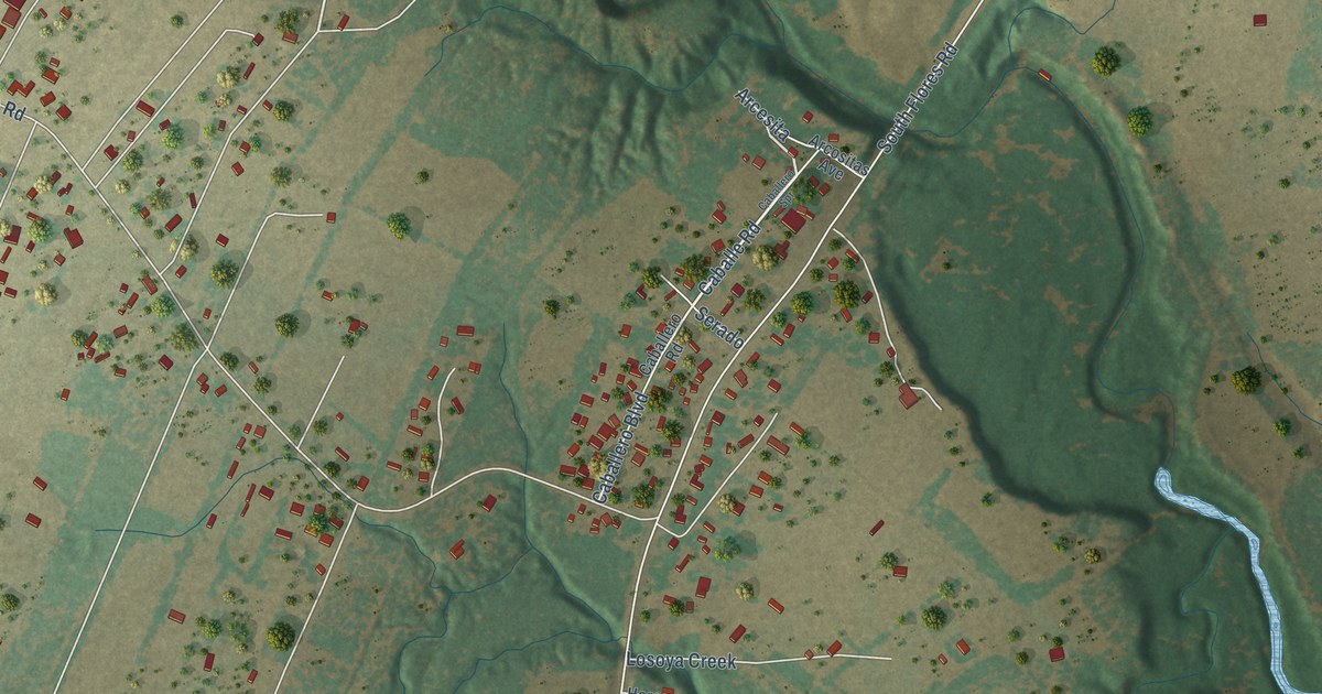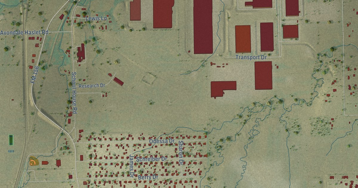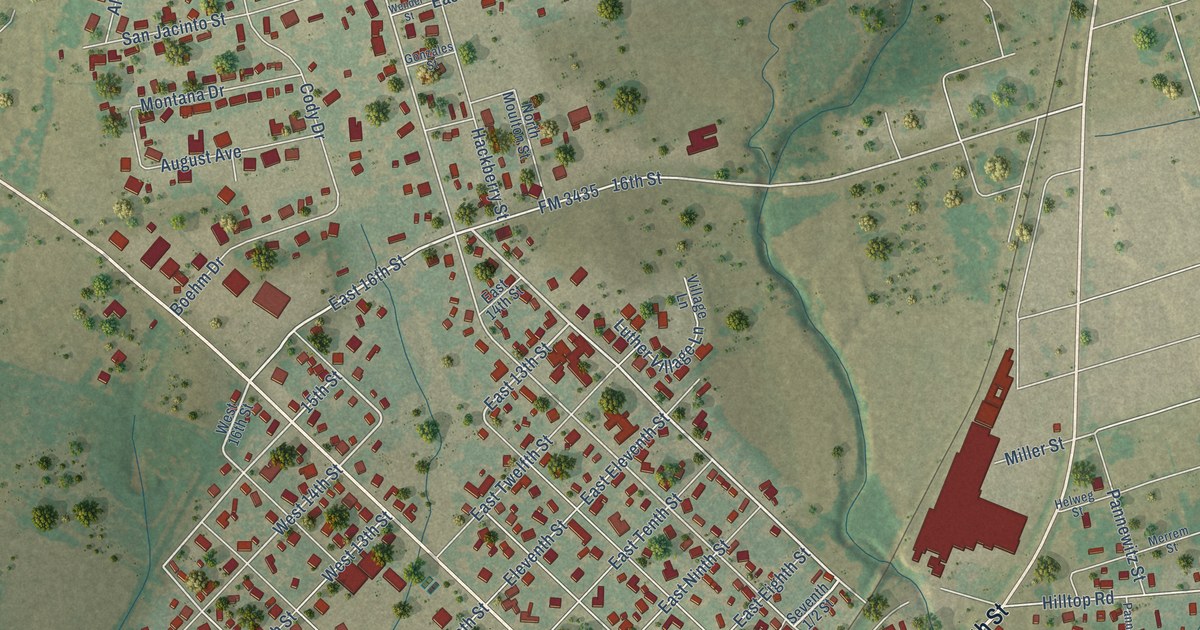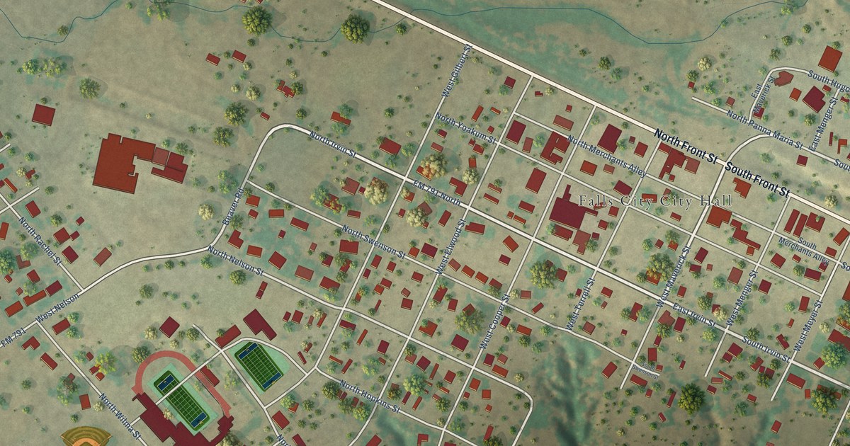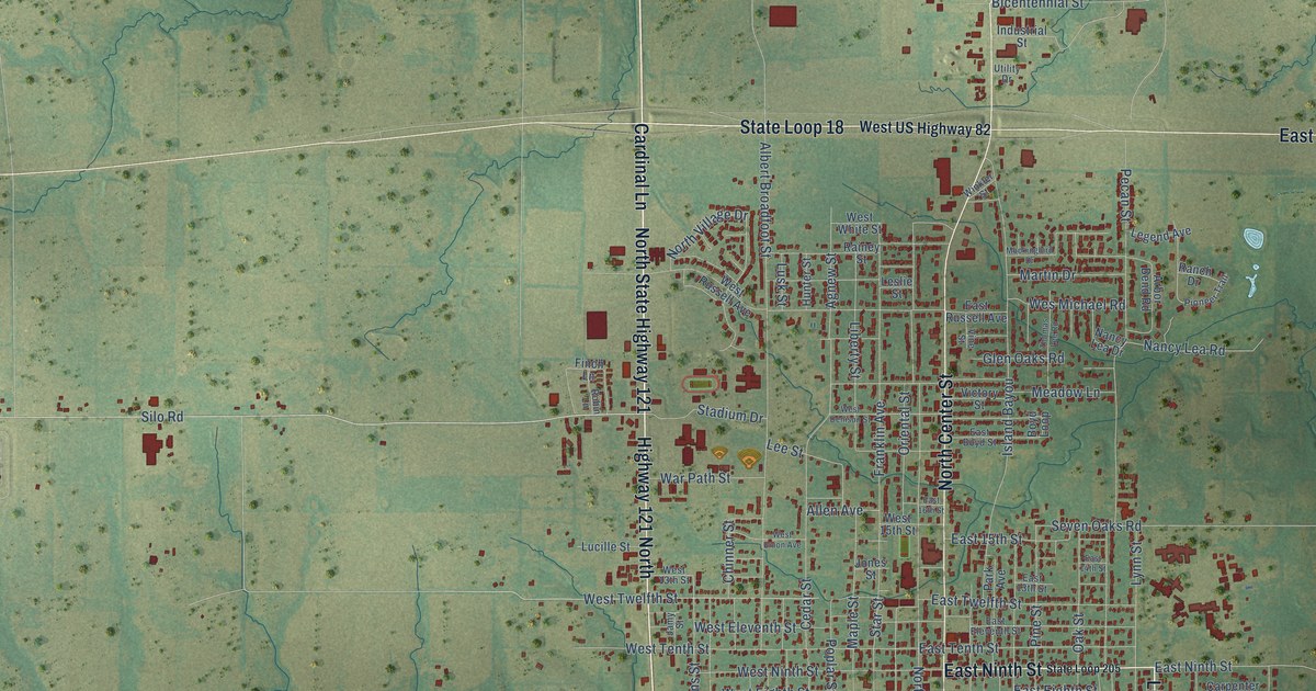
This beautifully detailed map of Bonham, Texas was created in 2026 using aerial imagery combined with modern topographical, census, street and landmark data. It’s a one-of-a-kind view of Bonham that combines accurate data with a vintage aesthetic. The map shows every building in its true location, many of the roads carry their names, and the shaded topographic relief shows the shape of the land.
Explore an aerial view of Bonham, Texas
On the map you’ll find Midway, along with West Sam Rayburn Drive, North State Highway 121, Cardinal Lane, East Sam Rayburn Drive, State Loop 18, East Ninth Street, North Center Street, Lipscomb Street, South Center Street, East US Highway 82, Highway 121 North, and more. If you look closely you can even find your house accurately drawn in its correct location. Zoom in on the preview to look for yours.
Did you know this piece of Bonham, Texas history?
From the Handbook of Texas: "Bonham women founded numerous service and cultural institutions, among them the Current Literature Club (1898), the Bonham Public Library (1901), and a Mother's Club that became affiliated with the national Parent-Teacher Association in 1924."
Take a closer look at the Bonham map
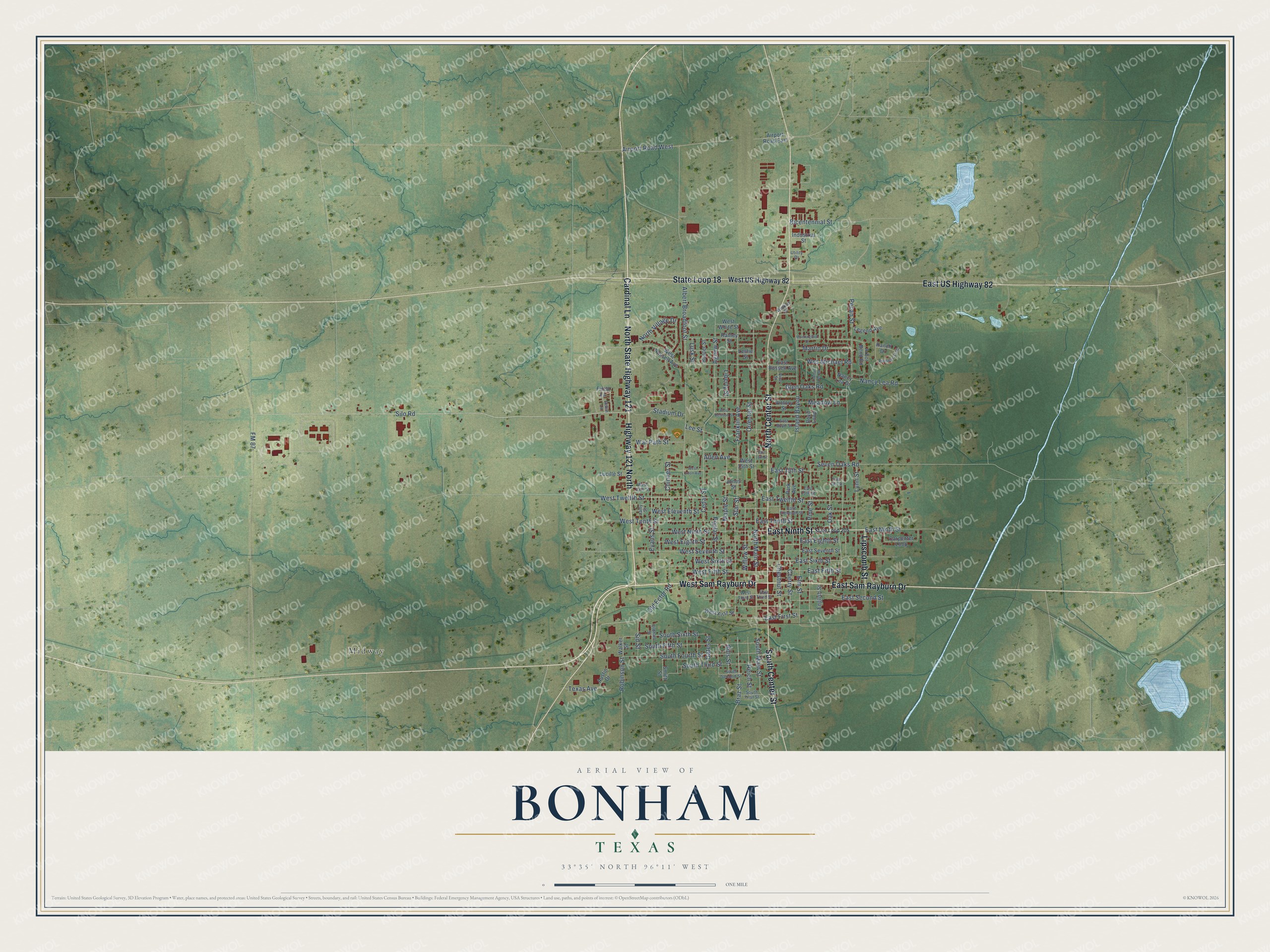
Street and place names on the Bonham, Texas map
These names are printed on the map of Bonham, Texas.
Places: Midway.
Streets and roads: West Sam Rayburn Drive, North State Highway 121, Cardinal Lane, East Sam Rayburn Drive, State Loop 18, East Ninth Street, North Center Street, Lipscomb Street, South Center Street, East US Highway 82, Highway 121 North, Old Ector Road.
More street names, A to Z
Agnew Street, Airport Road East, Airport Road West, Albert Broadfoot Street, Allen Avenue, Arbor Bend Road, Austin Drive, Bicentennial Street, Bills Street, Boyd Loop, Braz Street, Carpenter Loop, Cedar Street, Cherry Street, Chestnut Street, Chinner Street, East 13th Street, East 14th Street, East 15th Street, East 16th Street, East Boyd Street, East Eighth Street, East Eleventh Street, East Fifth Street, East First Street, East Russell Avenue, East Second Street, East Seventh Street, East Sixth Street, East Tenth Street, East Third Street, East Twelfth Street, Elm Street, English Street, Evans Street, Finch Lane, FM 87, Franklin Avenue, Gates Street, Glen Oaks Road, Hunter Street, Industrial Street, Island Bayou, Jamy Street, Jones Street, Lee Street, Legend Avenue, Leslie Street, Liberty Street, Lucille Street, Lusk Street, Lynn Street, Maple Street, Martin Drive, Meadow Lane, Mockingbird Drive, Nancy Lea Drive, Nancy Lea Road, North Main Street, North Village Drive, Oak Street, Oldham Street, Oriental Street, Park Avenue, Pecan Street, Pine Street, Pioneer Trail, Poplar Street, Rainey Street, Ranch Drive, Reich Street, Robin Lane, Robinson Street, Seven Oaks Road, Sid Street, Silo Road, Smith Street, South Fifth Street, South First Street, South Fourth Street, South Main Street, South Second Street, South Sixth Street, South Third Street, Stadium Drive, Star Street, State Loop 205, Texas Avenue, Thomas Lee Road, Utility Drive, Victory Street, Vine Street, Walker Street, War Path Street, Wes Michael Road, West 13th Street, West 15th Street, West Denison Street, West Eighth Street, West Eleventh Street, West Fifth Street, West First Street, West Ninth Street, West Russell Avenue, West Seventh Street, West Sixth Street, West Tenth Street, West Third Street, West Twelfth Street, West Union Avenue, West US Highway 82, West White Street, Willow Street, Winkler Street.
See the Bonham, Texas map on a wall
The Bonham map as an 18 x 24 inch print in a black frame.

This beautifully detailed map of Bonham makes an attractive addition to your office, library, or den, and it can even be used to teach children the geography and history of the area. It also makes a great gift for anyone with Bonham roots. When you’re done exploring, click here to get your copy of the Bonham map.