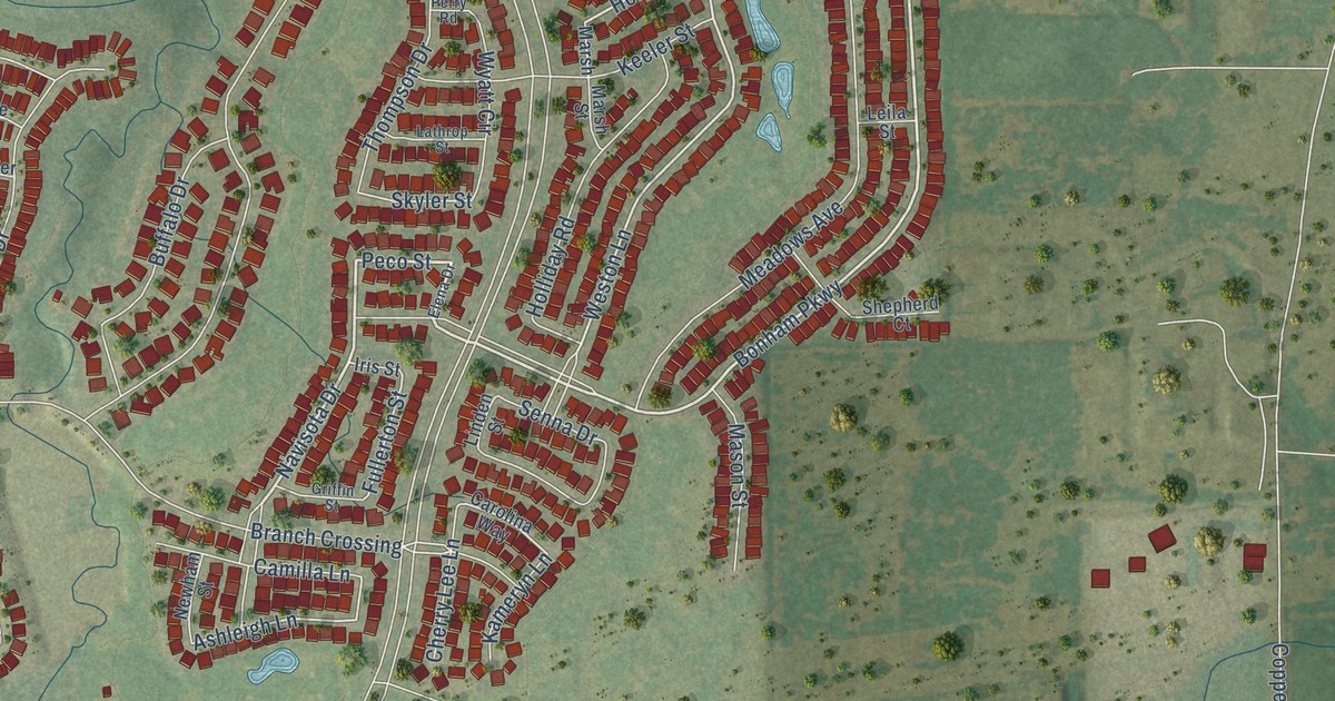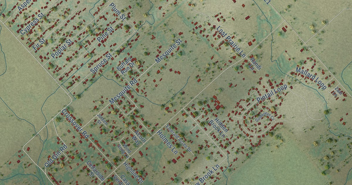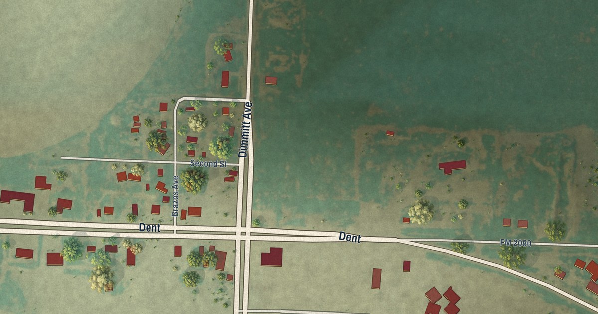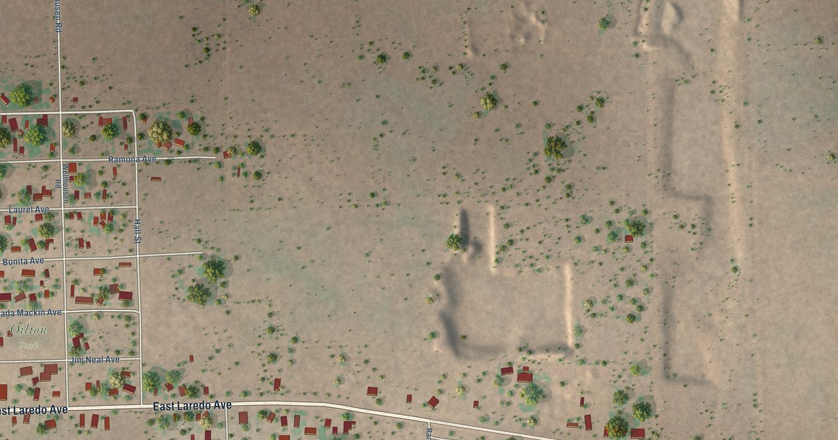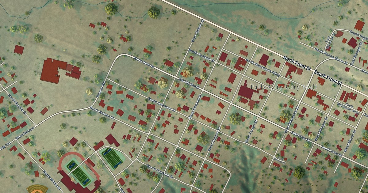
This beautifully detailed map of Falls City, Texas was created in 2026 using aerial imagery combined with modern topographical, census, street and landmark data. It’s a one-of-a-kind view of Falls City that combines accurate data with a vintage aesthetic. The map shows every building in its true location, many of the roads carry their names, and the shaded topographic relief shows the shape of the land.
Explore an aerial view of Falls City, Texas
On the map you’ll find Paul Kutz Fields and West Nelson, along with North Front Street, South Front Street, North Irvin Street, South Irvin Street, FM 791 North, West Moczygemba Street, South Panna Maria Street, Beaver Road, North Nelson Street, West Terrell Street, and more. If you look closely you can even find your house accurately drawn in its correct location. Zoom in on the preview to look for yours.
Did you know this piece of Falls City, Texas history?
From the Handbook of Texas: "Two earlier communities, Marcelina and Home Valley, had been located in the vicinity in the 1850s and 1860s, but people were not induced to settle the area until 1886, when the San Antonio and Aransas Pass Railway built a switch and depot called Brackenridge, named after railroad benefactor George W. Brackenridge."
Take a closer look at the Falls City map
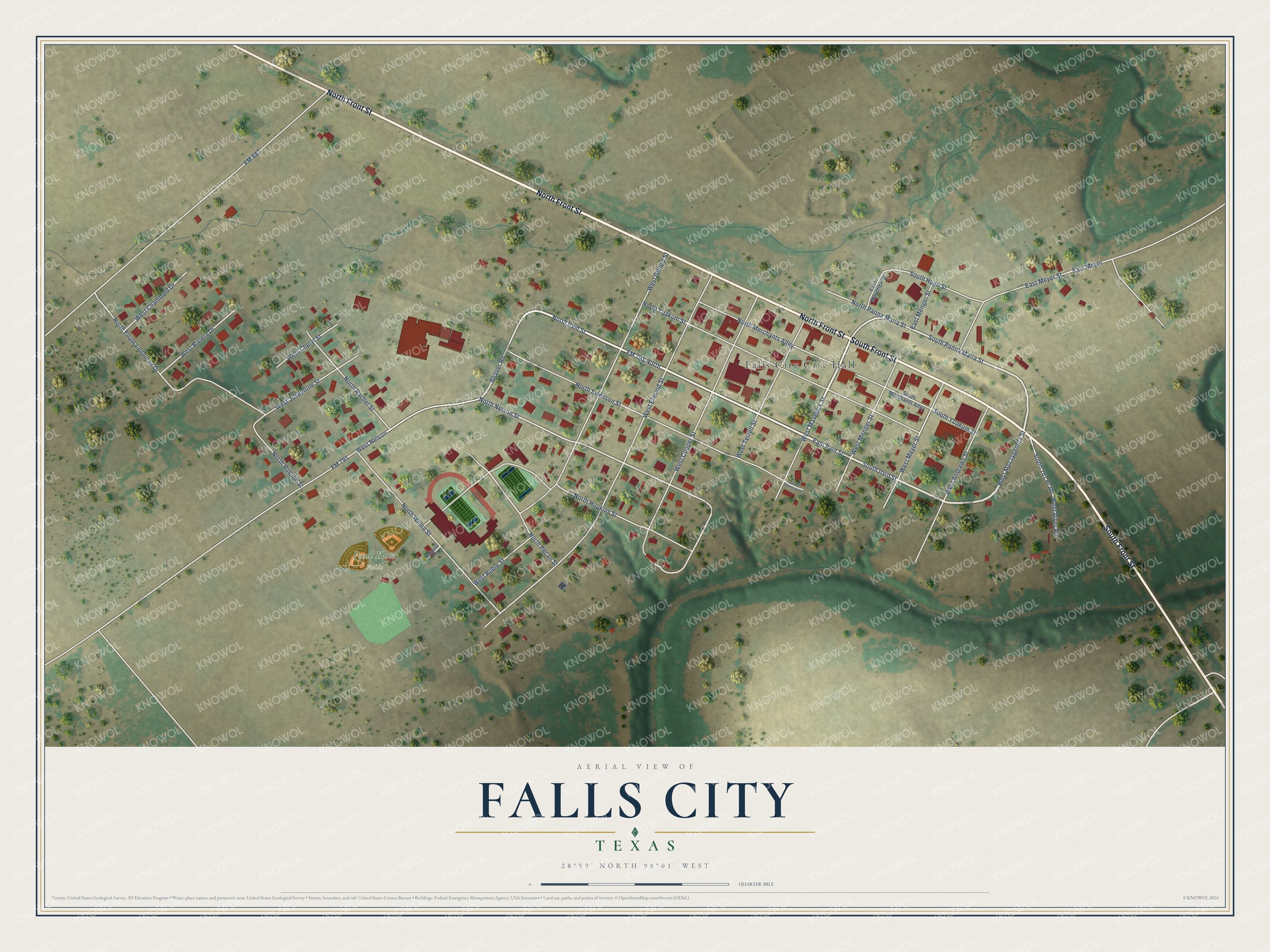
Street and place names on the Falls City, Texas map
These names are printed on the map of Falls City, Texas.
Places: Falls City City Hall and Paul Kutz Fields.
Streets and roads: North Front Street, South Front Street, North Irvin Street, South Irvin Street, FM 791 North, West Moczygemba Street, South Panna Maria Street, Beaver Road, North Nelson Street, West Terrell Street, West Nelson, East Meyer.
More street names, A to Z
Ballpark Road, East Irvin Street, East Maverick Street, East Menger Street, East Meyer Street, FM 791, FM 887, North Fountainebleau Drive, North Hopkins Street, North Merchants Alley, North Panna Maria Street, North Pecan Street, North Rachel Street, North Rosalie Street, North Swenson Street, North Wilma Street, North Yoakum Street, South 181 Pr Road, South Hugo Street, South Merchants Alley, South Swenson Street, South Yoakum Street, West Andrews Street, West Chambord Drive, West Cheryl Street, West Cooper Street, West Elwood Street, West Gilbert Street, West Josephine Street, West Maverick Street, West Menger Street, West Meyer Street, West River Road, West Riviere Drive, West Rubie Street.
See the Falls City, Texas map on a wall
The Falls City map as an 18 x 24 inch print in a black frame.

This beautifully detailed map of Falls City makes an attractive addition to your office, library, or den, and it can even be used to teach children the geography and history of the area. It also makes a great gift for someone who left Falls City and still calls it home. When you’re done exploring, click here to get your copy of the Falls City map.