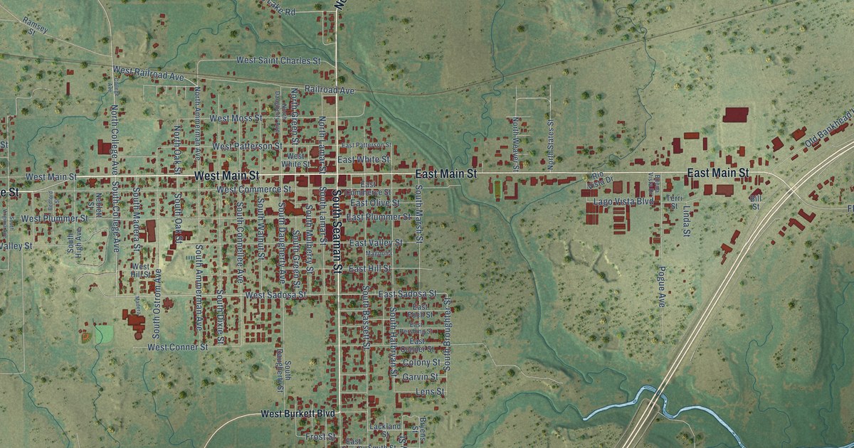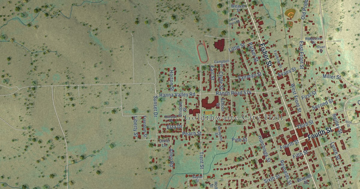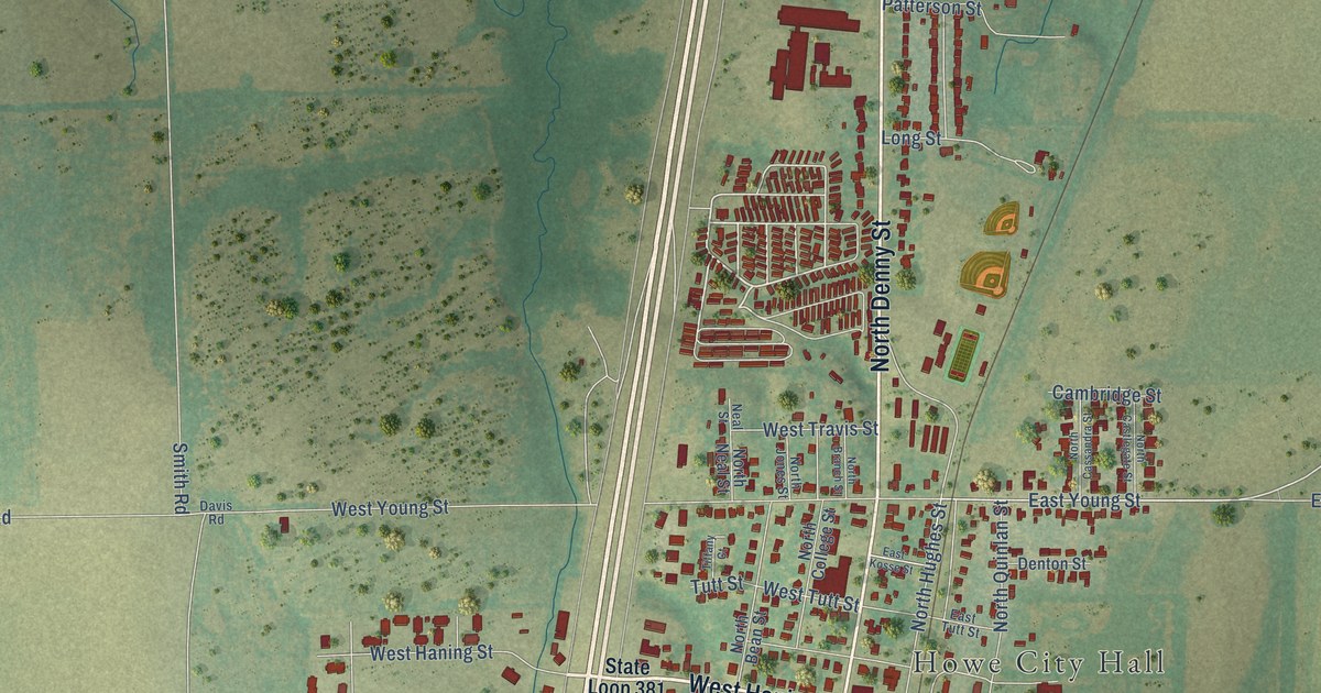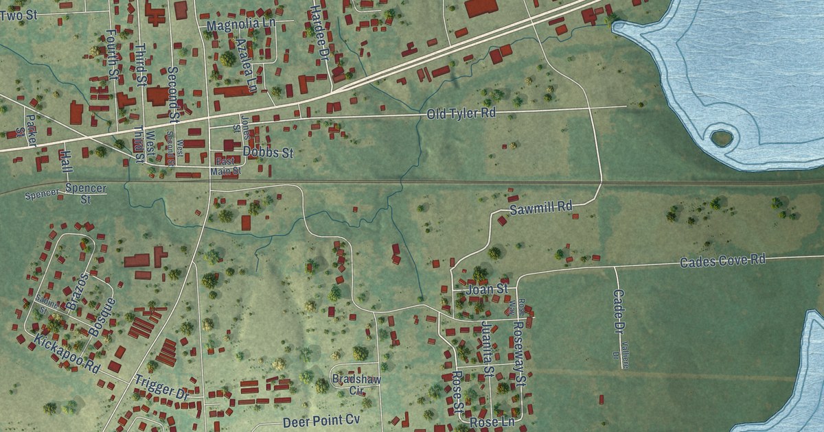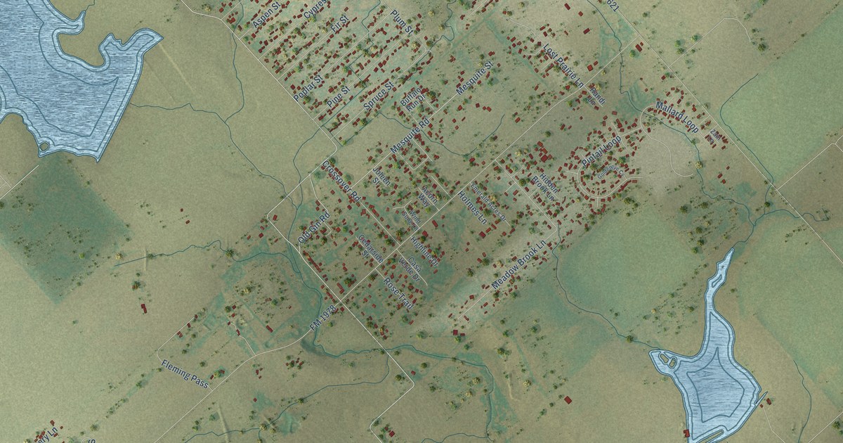
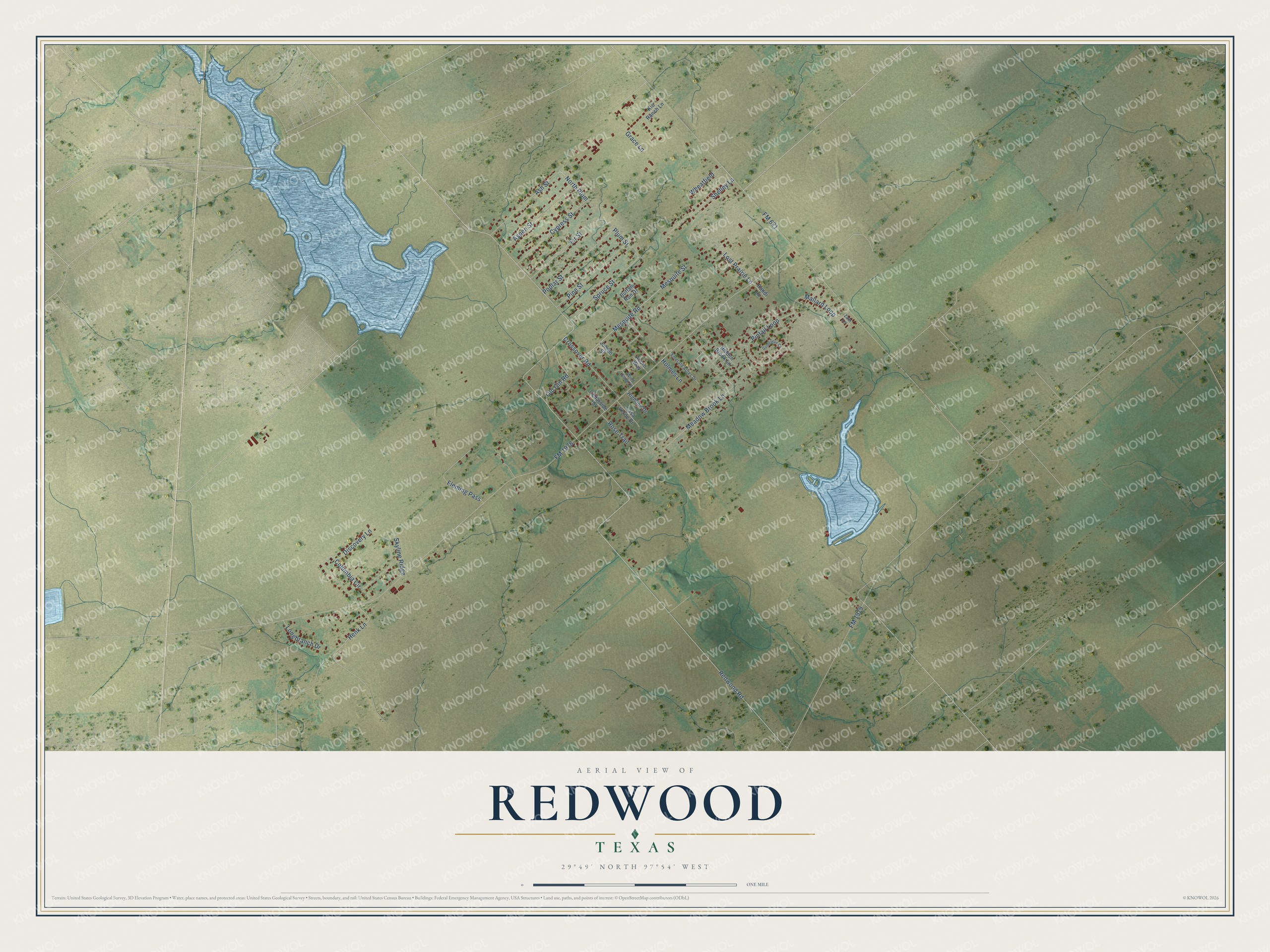
This beautifully detailed map of Redwood, Texas was created in 2026 using aerial imagery combined with modern topographical, census, street and landmark data. It's a modern aerial view of Redwood in Guadalupe County, Texas, that combines modern data with a vintage aesthetic. The roads feature printed names, and if you look closely you can find your exact house accurately shown in its correct location.
Explore an aerial view of Redwood, Texas
On this map you'll find North Plum, Henk Lane, FM 1978, Redwood Road, FM 621, FM 1979, Meadow Brook Lane, Mesquite Road, Mesquite Street, Mallard Loop, Columbia Circle, Pintail Loop, and more. Each red shape is a building, so zoom in on the preview and look for yours.
Redwood has a story worth telling. Redwood grew up along Cottonwood Creek in northern Guadalupe County, about seventeen miles north of Seguin. It had a post office from 1895 to 1906, and in 1904 its three one-teacher schools taught ninety-one students. That's from the Handbook of Texas.
Redwood is a community in Guadalupe County. The Census Bureau counted 4,003 people here in 2020.
Take a closer look at the Redwood map
Names on this map
These names are printed on this map.
Streets and roads: North Plum, Henk Lane, FM 1978, Redwood Road, FM 621, FM 1979, Meadow Brook Lane, Mesquite Road, Mesquite Street, Mallard Loop, Columbia Circle, Pintail Loop.
More street names, A to Z
Acorn Way, Ash Street, Aspen Street, Buffalo Run Drive, Casa Verde Drive, Cedarside Street, Crossover Road, Cypress Street, Discovery Lane, Emerald Acres Drive, Fir Street, Fleming Pass, Goldeneye Cv, Grace Lane, Hidden Brook Lane, Highline Drive, Holmes Lane, Joleen Street, Kid Ranch Lane, Longbranch Drive, Lost Prairie Lane, Old Gin Road, Pine Street, Plum Street, Poplar Street, Randi Lane, Rose Trail, Shelley Lane, Skyline Ridge, Spruce Street, Wheatfield, Wind Song Lane, Zain Lane.
See it on a wall
The Redwood map as a framed print. Swipe for more.


Created by KNOWOL in 2026. The buildings are small red shapes, the roads carry their printed names, and shaded relief shows the shape of the land. The title panel reads "AERIAL VIEW OF REDWOOD, TEXAS" with 29°49' NORTH 97°54' WEST.
It looks right in a kitchen, an office or a den, and it's a gift for anyone who grew up in Redwood or moved away. Open the preview and find your street. See sizes and frames for the Redwood map.