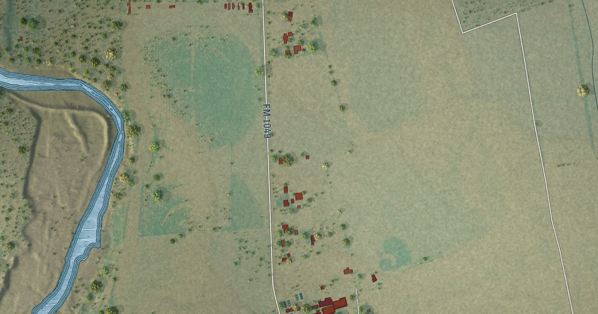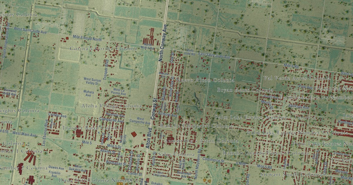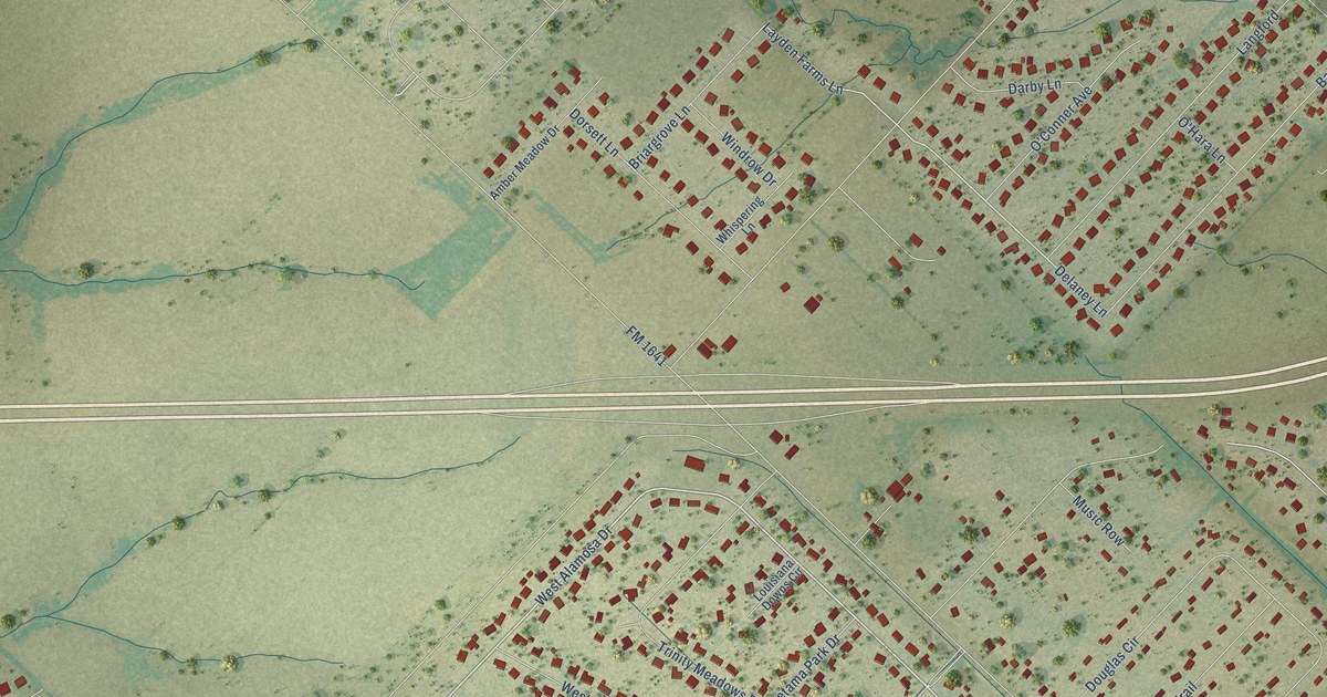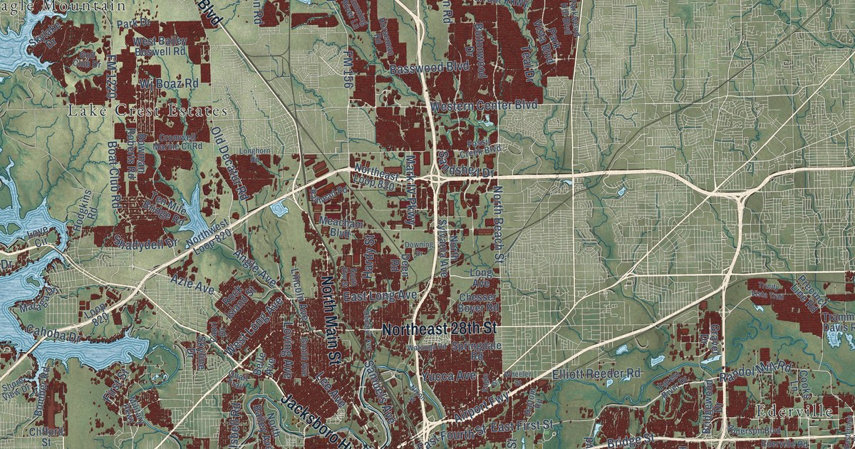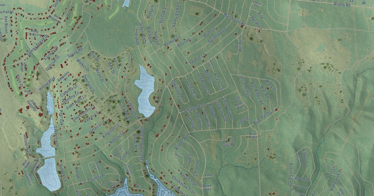
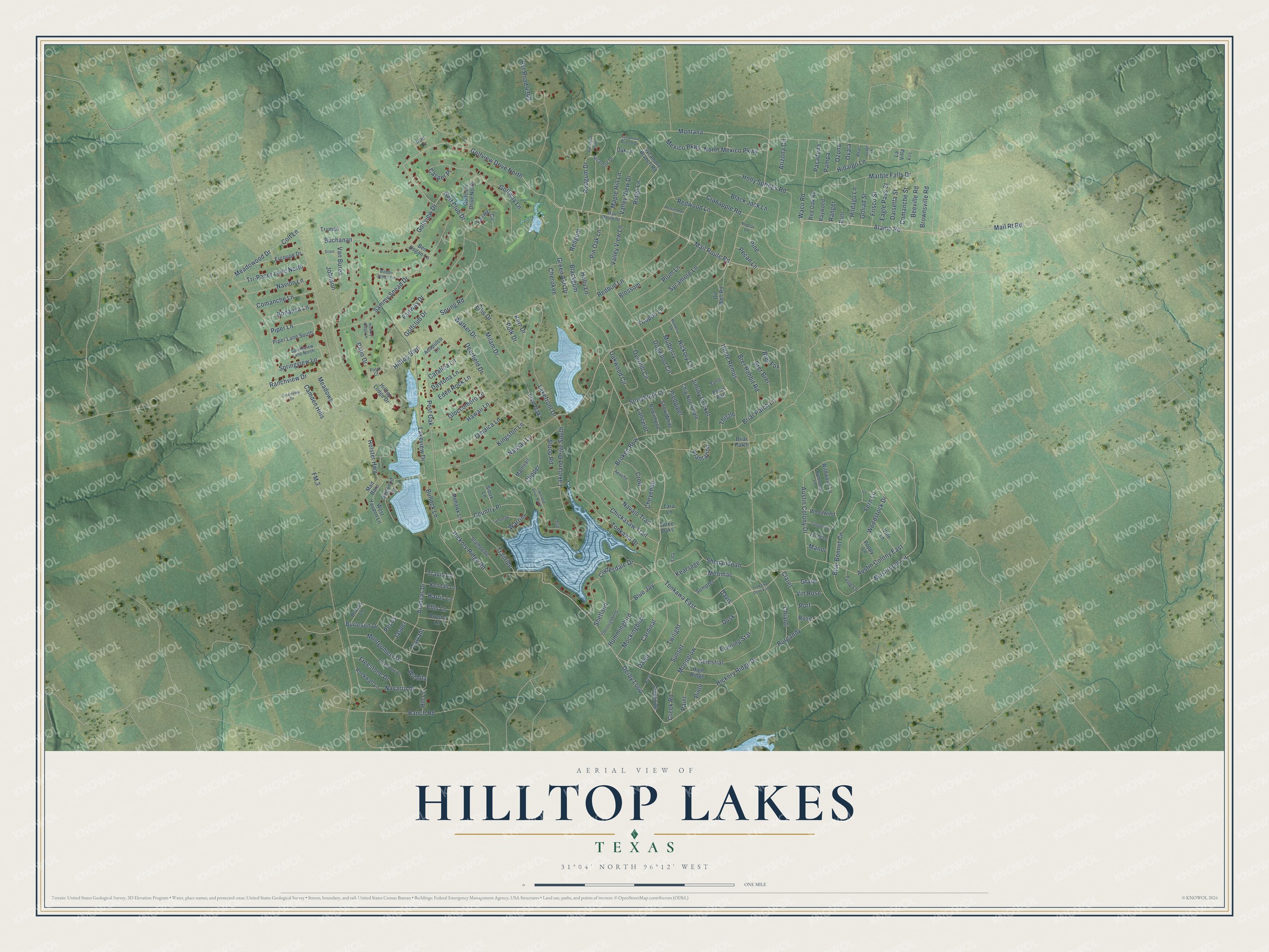
This beautifully detailed map of Hilltop Lakes, Texas was created in 2026 using aerial imagery combined with modern topographical, census, street and landmark data. It's a modern aerial view of Hilltop Lakes in Leon County, Texas, that combines modern data with a vintage aesthetic. The roads feature printed names, and if you look closely you can find your exact house accurately shown in its correct location.
Explore an aerial view of Hilltop Lakes, Texas
On this map you'll find Tonkawa East, Moonglow, Green Ash Drive, Redgum Drive, Mail Route Road, Alamo Road, Creek Road, Mail Rt Road, Golf Club Drive, Hilltop Boulevard, Derby Loop, Hickory Ridge Drive, and more. Each red shape is a building, so zoom in on the preview and look for yours.
Every town has a first chapter, and Hilltop Lakes is no exception. Hilltop Lakes started out as a 4,400 acre ranch that J. B. Belin bought in 1962. In June 1998 the Property Owners Association bought Hilltop Lakes from Belin, and the whole community now belongs to its property owners. That's from the Property Owners Association of Hilltop Lakes.
Hilltop Lakes is a community in Leon County. The Census Bureau counted 1,385 people here in 2020.
Take a closer look at the Hilltop Lakes map
Names on this map
These names are printed on this map.
Streets and roads: Tonkawa East, Moonglow, Green Ash Drive, Redgum Drive, Mail Route Road, Golfview Drive North, Alamo Road, Creek Road, Mail Rt Road, Golf Club Drive, Hilltop Boulevard, Derby Loop.
More street names, A to Z
Acapulco Lane, Apache, Aransas Drive, Arizona Circle, Austin Colony Drive, Austin Colony East, Bambi, Beeville Road, Ben Hogan Lane, Blackgum, Black Jack Lane, Blossom, Blue Bonnet Circle, Blue Jay, Bobby Jones Lane, Bonanza Lane, Brazos Lane, Brer Brer, Brer Fox, Brer Rabbit Road, Briar Patch, Briar Patch Lane, Broken Bow, Brownsville Road, Buchanan, Bullock Lane, Burgandy, Burleson Drive, Camden Hills, Cardinal, Casper Place, Catalina Lane, Celestial, Cherokee, Cheyenne, Chianti, Chickasaw Trail, Chip North Dale, Claret, Clipper, Clydesdale Drive, Colt Lane, Comanche Lane, Comanche Street, Country Place, Crabapple Road, Creekside, Crosby Lane, Crow, Daisetta Street, Davis, Dawn, Daytona Lane, Deerfield Drive, Dogwood Circle, Dogwood Lane, Dusk, Eagle Pass Street, Eden Rock Lane, Ellis Drive, Ellis Lane, Ercoupe Drive, Erie, Evening Star, Fairway Circle, Fairway Drive, Ferndale, Fern Lane, FM 3, Freestone Drive, Frisco Street, Gloccomoro Lane, Golfclub Drive, Golfclub Drive North, Golfview Drive, Golfway Lane, Goliad Street, Grant, Grape, Greenview Drive, Harris Lane, Hawaii Lane, Hickory Lane, Hickory Ridge Drive, Hickory Ridge Lane, Hickory Ridge Road, Hidalgo Lane, High Ridge, Hildago Lane, Hill Lane, Hilltop Lodge Drive, Holly Lane, Holly Springs Road, Holster Highway, Hummingbird, Iron Lane, Ivy, Jamaica Lane, Jasper, Jiminy Cricket, Johnson, Katy, Kearsage, Kendall Lane, Kerr Drive, Kingston Lane, Lakefront Drive, Lakeland Drive North, Lakeland Drive South, Lakeview Drive, Lancelot, La Villa, Limestone Drive, Live Oak, Mail Route Drive, Mainsail, Mait Barn, Manor, Maple Hill Lane, Marble Falls Drive, Meadowood Drive, Meadows, Merimac, Mexico Parkway, Milam Drive, Mockingbird, Mohawk Lane, Montana, Montgomery Drive, Mulberry, Mulberry Lane, Mushroom Circle, Nassau Lane, Navajo Trail, Navarro Drive, Navion Lane, North Mexico Parkway, Oak Lane, Oakwood Circle, Oil Well Road, Osage Lane, Ovala, Overhill Circle, Ozona, Paint, Pampa, Pasadena, Patio Court, Patio Drive, Pecan Lane, Pecos, Persimmon Lane, Peter Pan, Pharr, Piedpiper, Pine, Pin Oak Lane, Pinto, Piper Lane, Piper Lane South, Plantation, Plum Lane, Polk Drive, Poplar Lane, Poppy Lane, Port, Post Oak, Pvt Road 4340, Ralls, Ranch Road, Ranchview Drive, Ranger, Raywood, Redbud Lane, Redgum, Red Oak Road, Redwood Lane, Richmond Lane, Ridge Lane, Roan, Robinhood, Rockwall Lane, Rose, Sammy Snead Drive, Shenandoah, Shetland, Sioux Lane, Sloop Road, Snow White, Spring Road, Springview Lane, Springview Lane North, Stampede, Storybook Lane, Sumpter, Sunset, Sycamore Branch Drive, Sycamore Branch Road, Sycamore Drive, Sycamore Lane, Sycamore Loop, Tanglewood, Tara, Tara Lane, Tarrant, Thistle, Thoroughbred, Three Oaks, Tomahaw, Tonkawa Drive, Tonkawa Drive East, Trailride, Travis Lane, Tri-Pacer Lane North, Truman, Tulip Lane, Twilight, Uncle Remus, Valley View Drive, Valley View Lane, Van Buren, Vine Lane, Vin Rose, Waco Road, Walker Drive, Warrior, West Yaupon Lane, Wichita, Wildwood Lane, Woodstock Drive, Woodwind, Youpon Lane.
See it on a wall
The Hilltop Lakes map as a framed print. Swipe for more.


Created by KNOWOL in 2026. The buildings are small red shapes, the roads carry their printed names, and shaded relief shows the shape of the land. The title panel reads "AERIAL VIEW OF HILLTOP LAKES, TEXAS" with 31°04' NORTH 96°12' WEST.
Hang it in the hallway, the office or the cabin, or give it to someone who left Hilltop Lakes and still calls it home. Open the preview and look for a street you know. See sizes and frames for the Hilltop Lakes map.