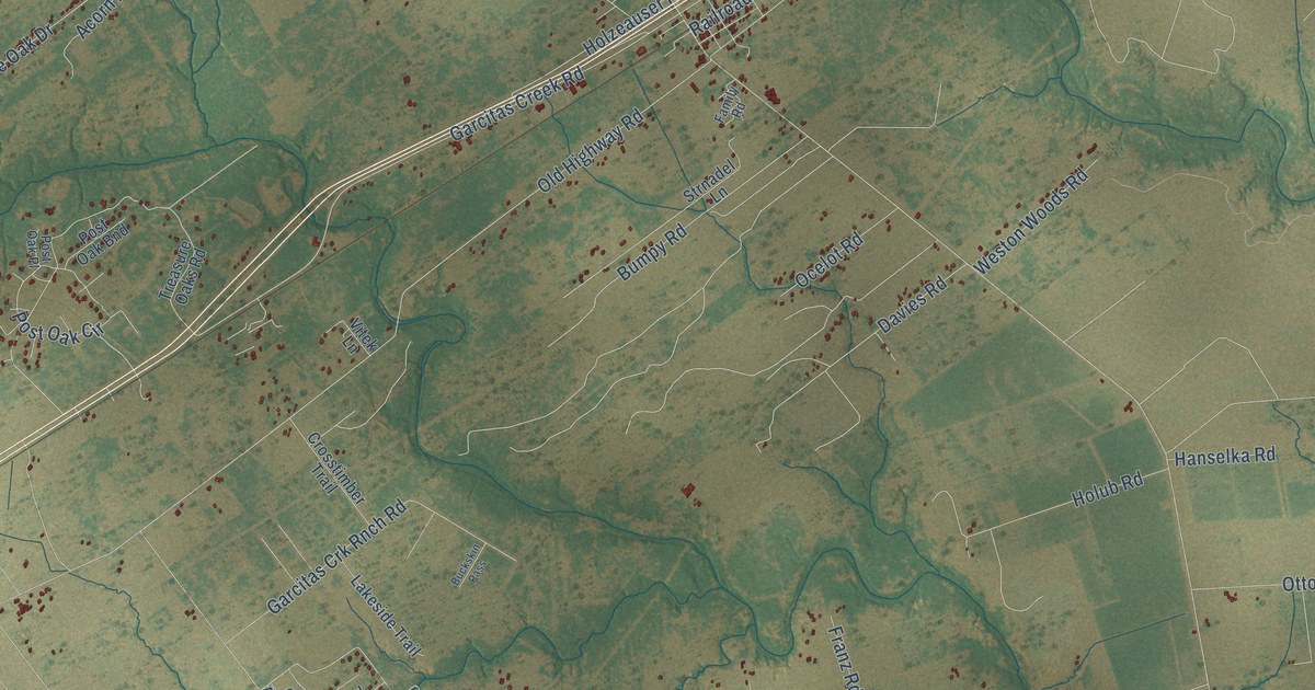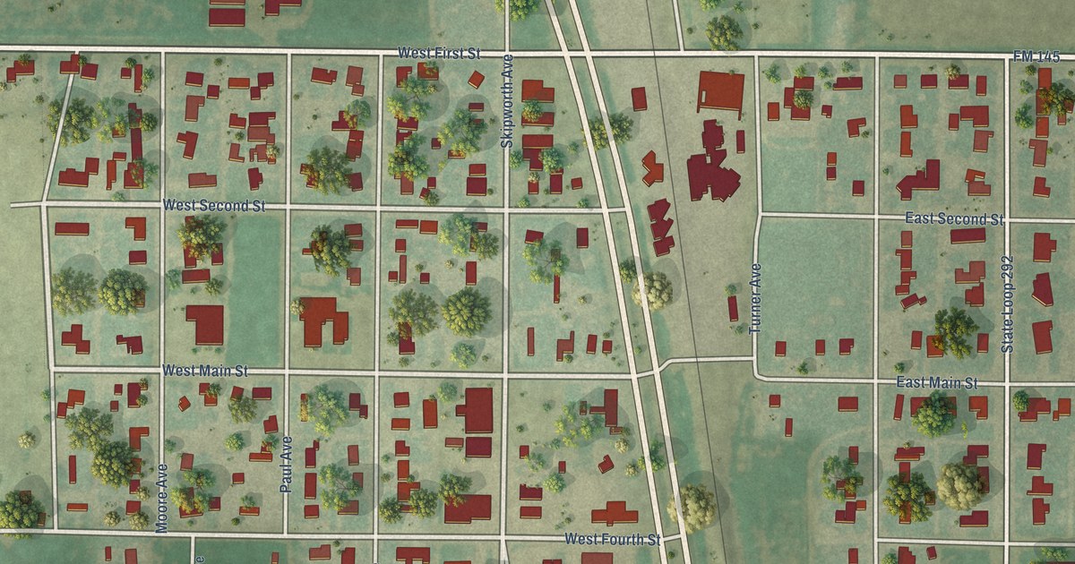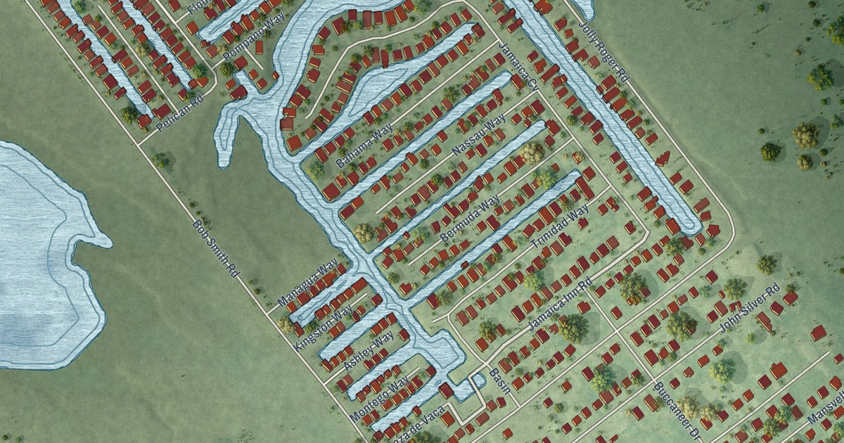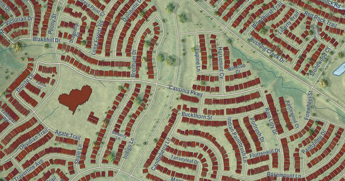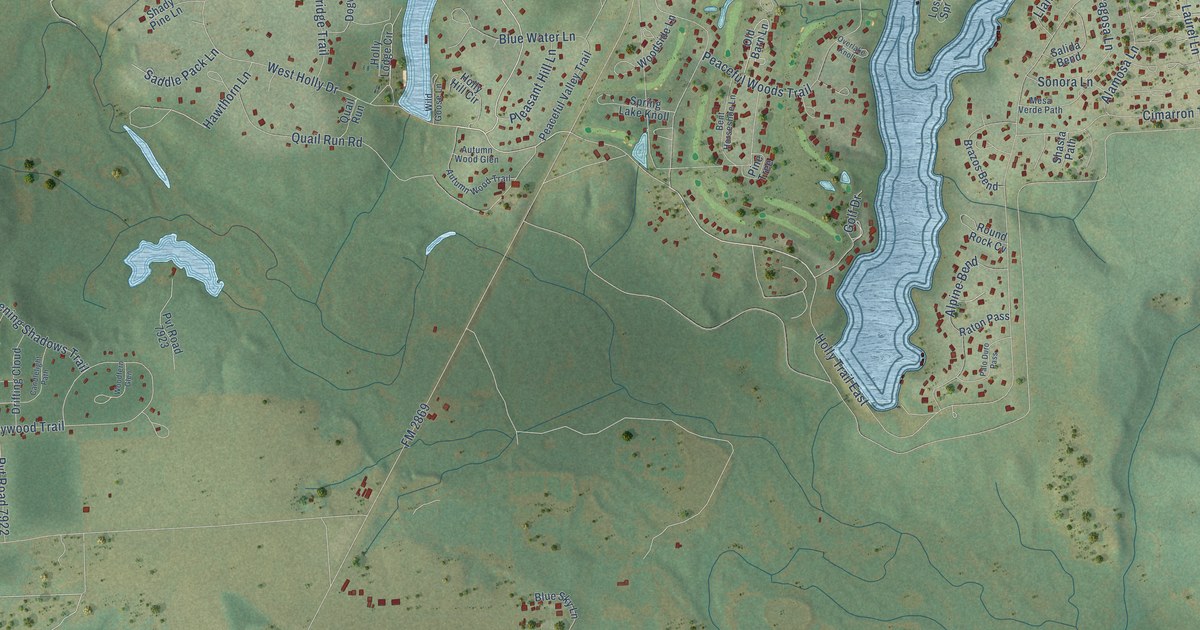
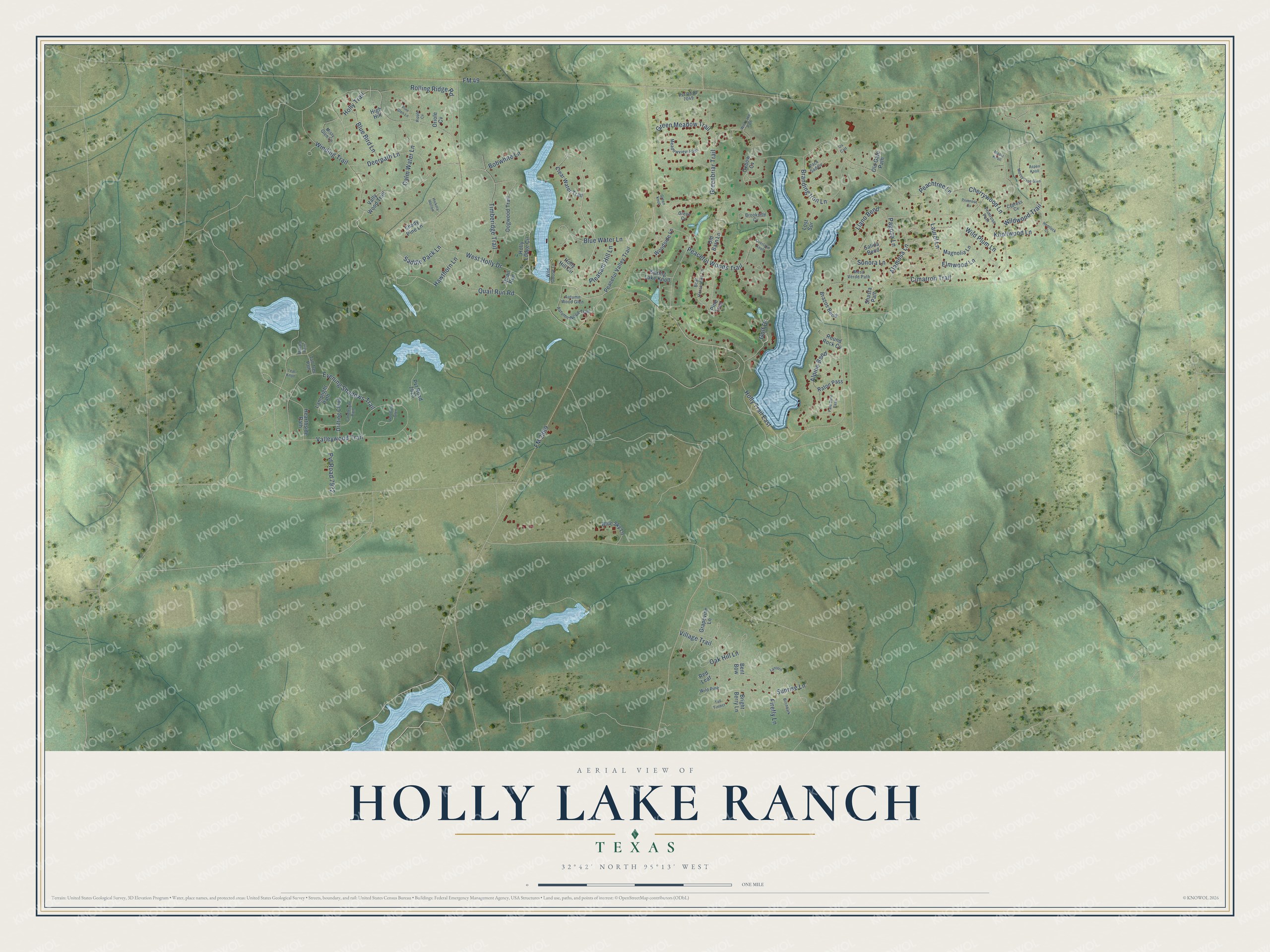
This beautifully detailed map of Holly Lake Ranch, Texas was created in 2026 using aerial imagery combined with modern topographical, census, street and landmark data. It's a modern aerial view of Holly Lake Ranch in Wood County, Texas, that combines modern data with a vintage aesthetic. The roads feature printed names, and if you look closely you can find your exact house accurately shown in its correct location.
Explore an aerial view of Holly Lake Ranch, Texas
On this map you'll find Holly Trail East, Holly Trail, Valleywood Trail, FM 49, FM 2869, Greenbriar Trail, West Holly Drive, Village Trail, Wildwood Trail, Winding Trail, Peaceful Woods Trail, Cimarron Trail, and more. Each red shape is a building, so zoom in on the preview and look for yours.
Every town has a first chapter, and Holly Lake Ranch is no exception. Holly Lake Ranch was established in 1971 as a gated community in the piney woods of Northeast Texas. It has five private lakes, from a couple hundred acres down to just a few, and an 18-hole golf course designed by Leon Howard. That's from the Holly Lake Ranch Association.
Holly Lake Ranch is a community in Wood County. The Census Bureau counted 2,951 people here in 2020.
Take a closer look at the Holly Lake Ranch map
Names on this map
These names are printed on this map.
Streets and roads: Holly Trail East, Holly Trail, Valleywood Trail, FM 49, FM 2869, Greenbriar Trail, West Holly Drive, Village Trail, Wildwood Trail, Winding Trail, Peaceful Woods Trail, Cimarron Trail.
More street names, A to Z
Alamosa Lane, Alpine Bend, Aspen Knoll, Autumn Wood Glen, Autumn Wood Trail, Bent Bow, Bent Horseshoe Lane, Birchbark, Blue Bird Lane, Blue Sky Lane, Blue Water Lane, Bobwhite Lane, Branding Iron Lane, Brazos Bend, Bright Berry Lane, Brookside Cv, Calm Water Lane, Candlelight Path, Cherrywood Lane, Clear Water Trail, Cypress Cv, Deerpath Lane, Dogwood Trail, Drifting Cloud, Elmwood Lane, Evening Shadows Trail, Firefly Lane, Golf Drive, Grapevine Lane, Green Cv, Green Knoll, Green Meadow Trail, Hawthorn Lane, Hearthside Path, Hemlock Cv, Hickory Hollow, High Hill, Holly Hill Circle, Holly Lodge Circle, Knollwood Lane, Lamplight Path, Lantern, Laurel Lane, Llano Bend, Lost Spr, Magnolia Lane, Mallard Point, Maple Knoll, Meadowview Path, Mesa Verde Path, Misty Glen Lane, Mossy Tree Glen, Oak Hill Lane, Old Barn Lane, Old Gate Path, Oriole Cv, Overlake Knoll, Oxbow Cv, Ox Cart, Pack Saddle, Pagosa Lane, Palo Duro Pass, Peaceful Valley Trail, Peachtree Lane, Pine Glen Lane, Pine Tree, Pleasant Hill Lane, Primrose Cv, Primrose Path, Pvt Road 7049, Pvt Road 7922, Pvt Road 7923, Quail Run, Quail Run Road, Raton Pass, Red Leaf, Ripple Cv, Rolling Ridge Road, Round Rock Cv, Saddle Pack Lane, Salida Bend, Shady Pine Lane, Shasta Path, Sonora Lane, Spring Lake Knoll, Sunrise Lane, Tall Timber, Tall Tree Path, Teal Knoll, Timberidge Trail, Vally Wood Trail, Wild Goose Lane, Wild Lake Path, Wild Pine, Wild Plum Lane, Woodfern Glen, Woodside Lane.
See it on a wall
The Holly Lake Ranch map as a framed print. Swipe for more.


Created by KNOWOL in 2026. The buildings are small red shapes, the roads carry their printed names, and shaded relief shows the shape of the land. The title panel reads "AERIAL VIEW OF HOLLY LAKE RANCH, TEXAS" with 32°42' NORTH 95°13' WEST.
Hang it in the hallway, the office or the cabin, or give it to someone who left Holly Lake Ranch and still calls it home. Open the preview and look for a street you know. See sizes and frames for the Holly Lake Ranch map.