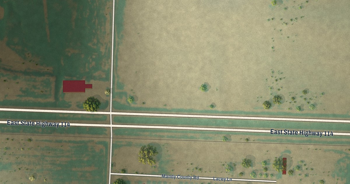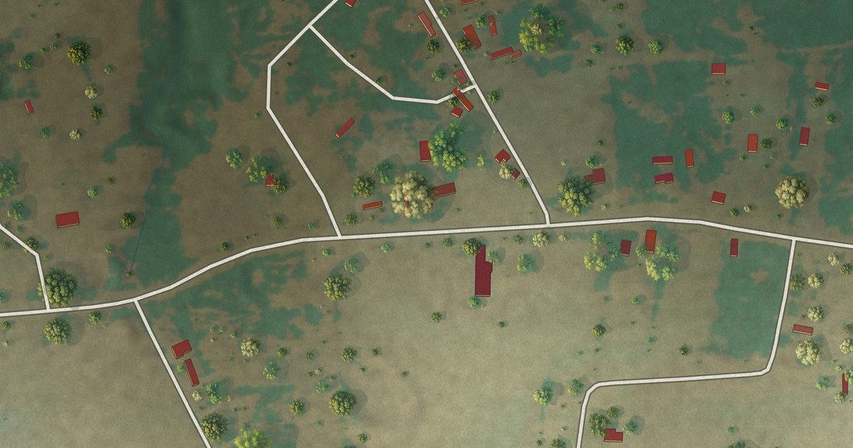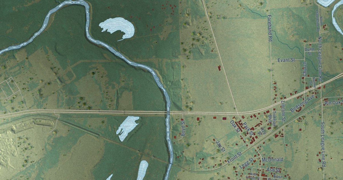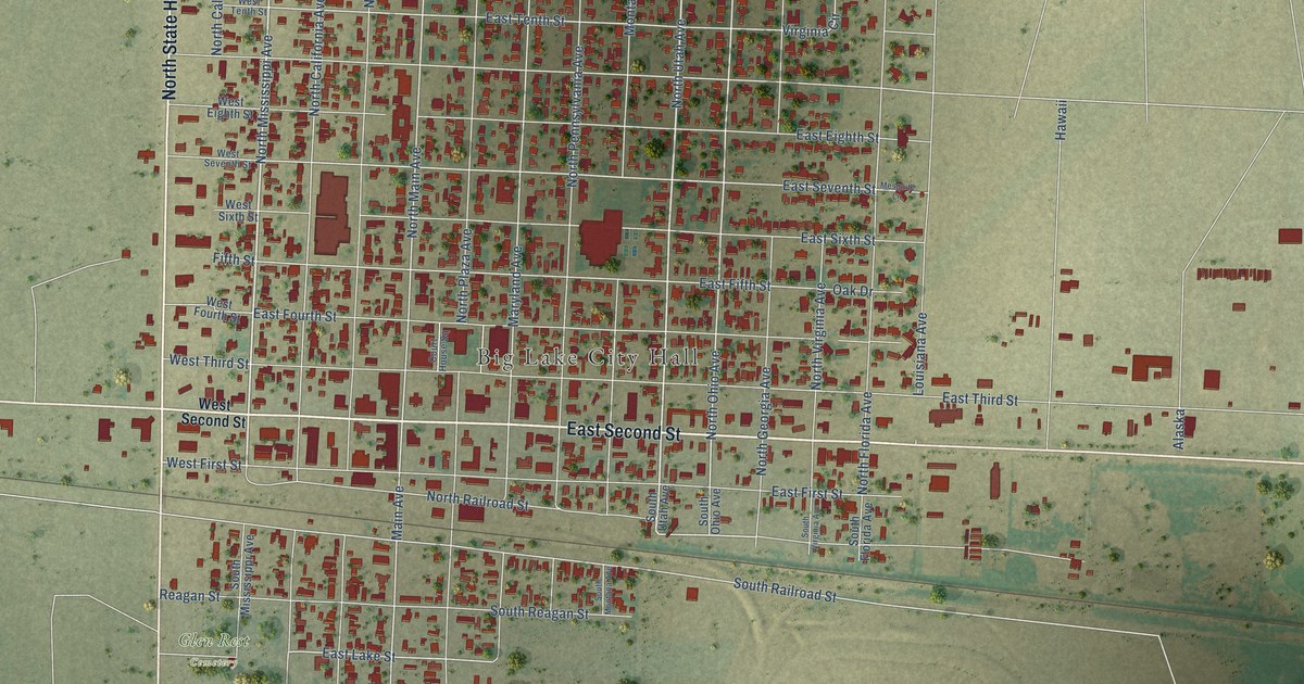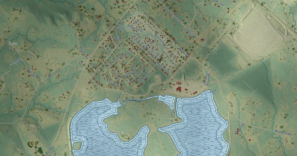
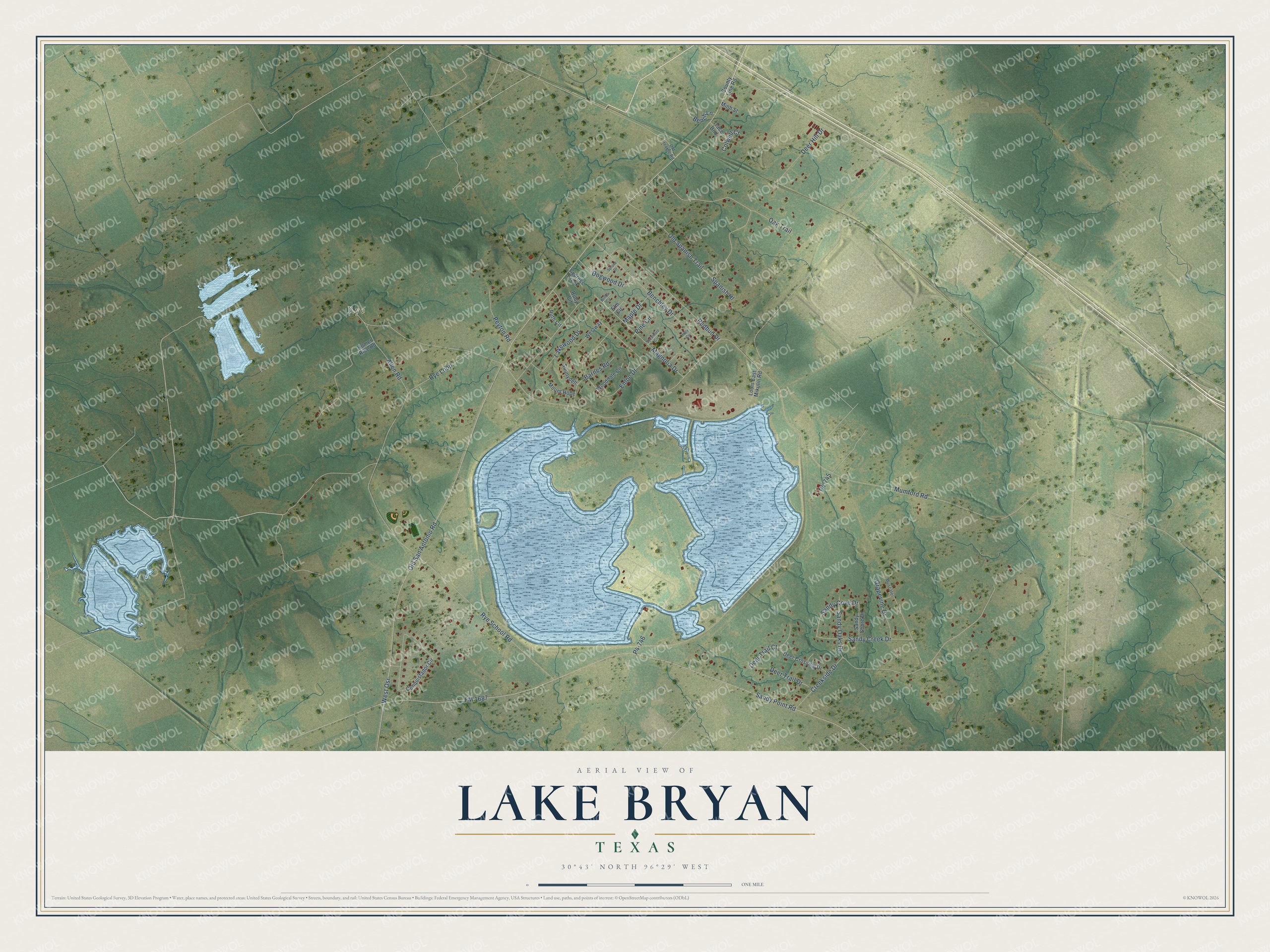
This beautifully detailed map of Lake Bryan, Texas was created in 2026 using aerial imagery combined with modern topographical, census, street and landmark data. It's a modern aerial view of Lake Bryan in Brazos County, Texas, that combines modern data with a vintage aesthetic. The roads feature printed names, and if you look closely you can find your exact house accurately shown in its correct location.
Explore an aerial view of Lake Bryan, Texas
On this map you'll find Rye, Old San Antonio Road, P4-746, Sandy Cove Drive, West Osr, Mumford Road, FM 1687, Sandy Point Road, Creekside Drive, Old Spanish Trail, Rye Loop, Rye School Road, and more. Each red shape is a building, so zoom in on the preview and look for yours.
Lake Bryan has a story worth telling. Bryan Texas Utilities needed more power in the early 1970s, so Lake Bryan was impounded in 1974 to cool the natural gas steam unit at the Roland C. Dansby Power Plant. The plant began operating in 1978. Since then the lake has become a mainstay for Brazos Valley families and a tradition for the Aggies of nearby Texas A&M University. That's from the Lake Bryan park website.
Lake Bryan is a community in Brazos County. The Census Bureau counted 2,060 people here in 2020.
Take a closer look at the Lake Bryan map
Names on this map
These names are printed on this map.
Places: Rye.
Streets and roads: Old San Antonio Road, P4-746, Sandy Cove Drive, West Osr, Mumford Road, FM 1687, Sandy Point Road, Creekside Drive, Old Spanish Trail, Rye Loop, Rye School Road, Benchley Drive.
More street names, A to Z
Allen Road, Barnes Road, Bench Lane, Colwell Court, Conquistador Circle, County Line Road, Cypress Creek, Deer Crossing Drive, Deer Hill Drive, Deer Trail Court, Deer Trail Drive, Dogwood Drive, Elm Circle, Enloe Drive, Grapevine Drive, Holly Circle, Homer Rice Road, Lakewood Drive, Louis East Mikulin Road, Magnolia Drive, Maple Drive, Minh Street, Mount Hope, Muscatel, Oak Trail, Old Hearne Road, P4-745, Peyton Road, Pine Circle, Redbud Drive, Ruby Circle, Ruth Circle, Sandy Creek Drive, Sandy Oaks Drive, Sandy Shore Drive, Spanish Hl, Spruce Drive, Sunnydell, Sycamore Circle, Trace Bnd, Westway, Willow Circle, Wooddale Circle.
See it on a wall
The Lake Bryan map as a framed print. Swipe for more.


Created by KNOWOL in 2026. The buildings are small red shapes, the roads carry their printed names, and shaded relief shows the shape of the land. The title panel reads "AERIAL VIEW OF LAKE BRYAN, TEXAS" with 30°43' NORTH 96°29' WEST.
It looks right in a kitchen, an office or a den, and it's a gift for anyone who grew up in Lake Bryan or moved away. Open the preview and find your street. See sizes and frames for the Lake Bryan map.