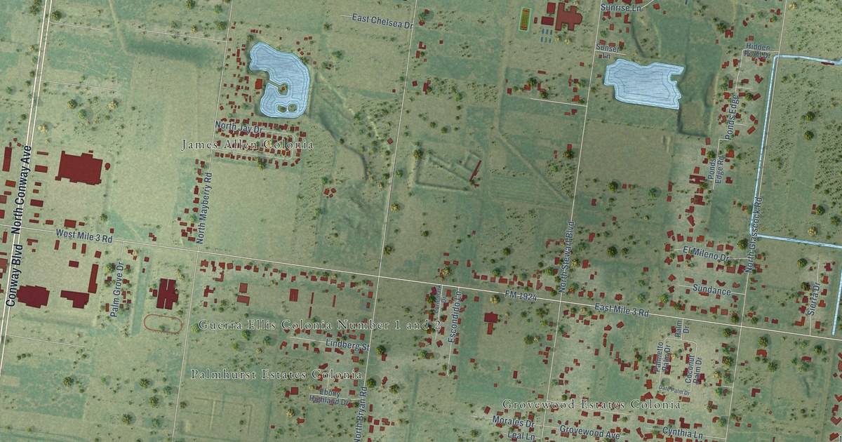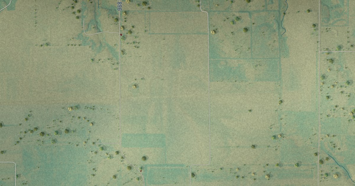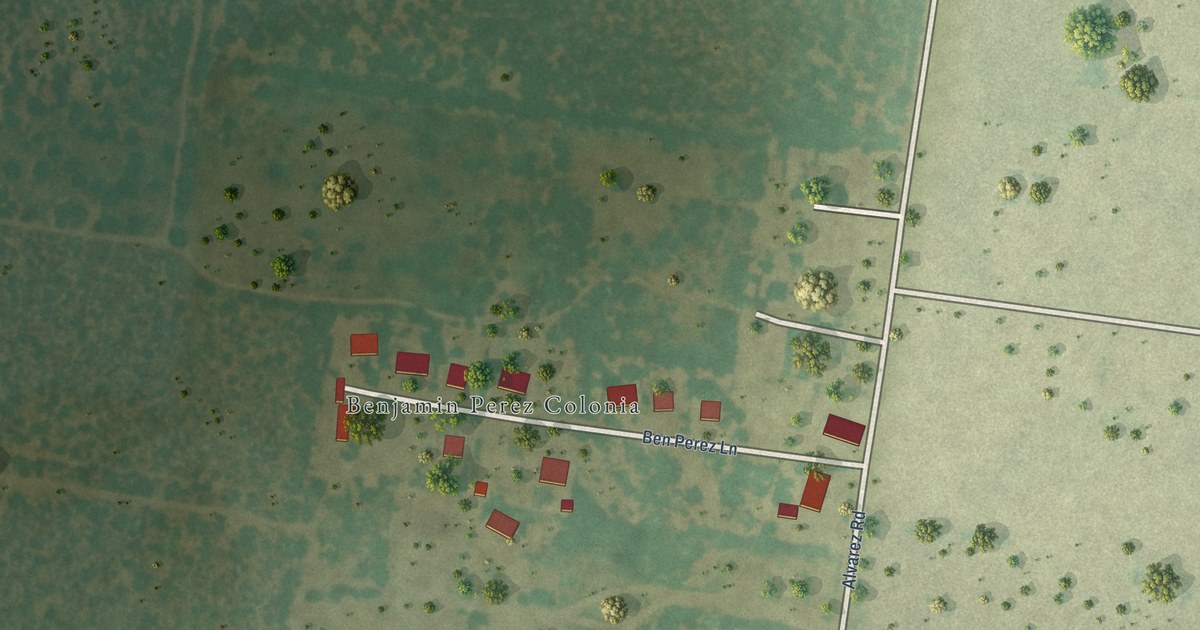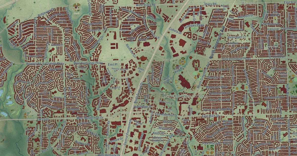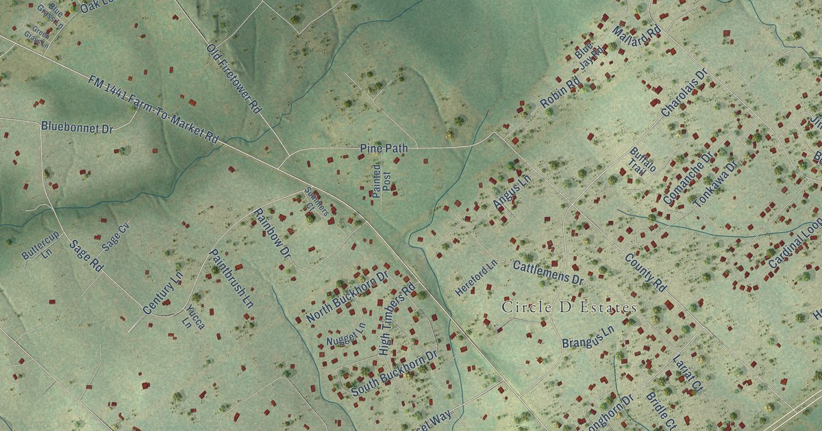
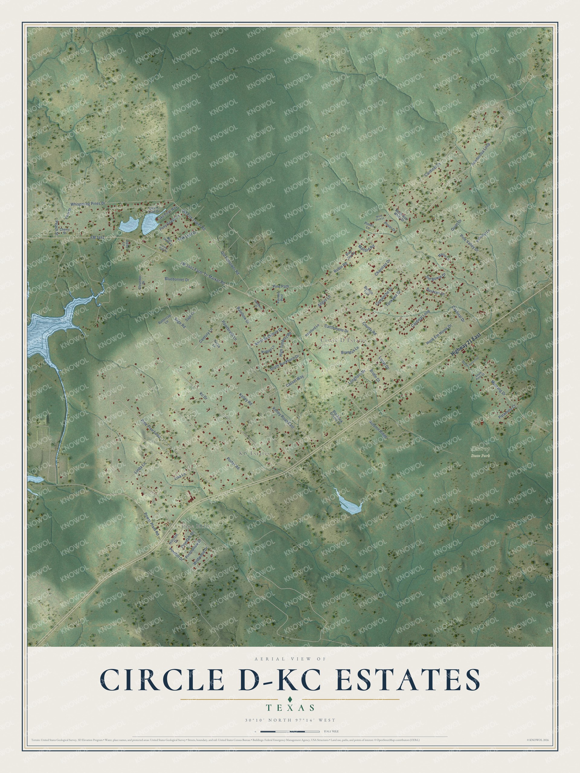
This beautifully detailed map of Circle D-KC Estates, Texas was created in 2026 using aerial imagery combined with modern topographical, census, street and landmark data. It's a modern aerial view of Circle D-KC Estates in Bastrop County, Texas, that combines modern data with a vintage aesthetic. The roads feature printed names, and if you look closely you can find your exact house accurately shown in its correct location.
Explore an aerial view of Circle D-KC Estates, Texas
On this map you'll find Pine Hills, KC Estates, Circle D Estates, Bastrop State Park, Highway 21 East, FM 1441, FM 1441 Farm-To-Market Road, Charolais Drive, Power Plant Road, Cassel Way, Ponderosa Loop, Cardinal Lane, and more. Each red shape is a building, so zoom in on the preview and look for yours.
Circle D-KC Estates has a story worth telling. The first call about the Bastrop County Complex Fire of September 4, 2011 reached the sheriff's 911 office from a resident of the Circle D neighborhood. The fire destroyed 1,677 homes and burned 34,000 acres of the Lost Pines forest. County Commissioner Clara Beckett told Congress it was the most destructive fire in Texas history. Afterward, most of the temporary homes FEMA set up for families hit by the fire stood in the Circle D-KC Estates area. That's from the U.S. House Natural Resources Committee.
Circle D-KC Estates is a community in Bastrop County. The Census Bureau counted 2,588 people here in 2020.
Take a closer look at the Circle D-KC Estates map
Names on this map
These names are printed on this map.
Places: Pine Hills, KC Estates, Circle D Estates and Bastrop State Park.
Streets and roads: Highway 21 East, FM 1441, FM 1441 Farm-To-Market Road, Charolais Drive, Power Plant Road, Cassel Way, Ponderosa Loop, Cardinal Lane, Pine Tree Loop, Porter Road, Cardinal Drive, Old Firetower Road.
More street names, A to Z
Angus Lane, Autumn Ridge, Blackjack Drivers Lane, Bluebonnet Drive, Blue Grass Lane, Blue Jay Road, Bonham Lane, Brangus Lane, Bridle Court, Buffalo Trail, Buttercup Lane, Cardinal Loop, Cattlemens Drive, Century Lane, Cherry Street, Comanche Drive, County Road, Daisy Lane, Green Grass Lane, Hereford Lane, High Timbers Road, Hillcrest Drive, Hook Em Horns Drive, Jim Bowie Drive, Kc Drive, Kelley Road, Kelley Road East, Lake Point Way, Lariat Court, Linda Lane, Lisa Lane, Longhorn Drive, Mallard Road, Martin Lane, Mustang Drive, North Buckhorn Drive, Nugget Lane, Oak Leaf Drive, Old Fire Tower Road, Oleander Drive, Paintbrush Lane, Painted Post, Palamino Court, Peaceful Lane, Peach Street, Pinedale Drive, Pinehill Drive, Pinehollow Drive, Pine Path, Pine Valley Drive, Pintail Lane, Plover Drive, Plum Street, Pony Grass Lane, Quarter Horse Loop, Quiet Drive, Rainbow Drive, Robin Road, Sage Cv, Sage Road, Shore Front Drive, South Bob White Drive, South Buckhorn Drive, South Pinto Court, Summers Court, Tonkawa Drive, Whispering Pines Drive, Wildwood Drive, Wood Duck Lane, Yucca Lane.
See it on a wall
The Circle D-KC Estates map as a framed print. Swipe for more.


Created by KNOWOL in 2026. The buildings are small red shapes, the roads carry their printed names, and shaded relief shows the shape of the land. The title panel reads "AERIAL VIEW OF CIRCLE D-KC ESTATES, TEXAS" with 30°10' NORTH 97°14' WEST.
It looks right in a kitchen, an office or a den, and it's a gift for anyone who grew up in Circle D-KC Estates or moved away. Open the preview and find your street. See sizes and frames for the Circle D-KC Estates map.