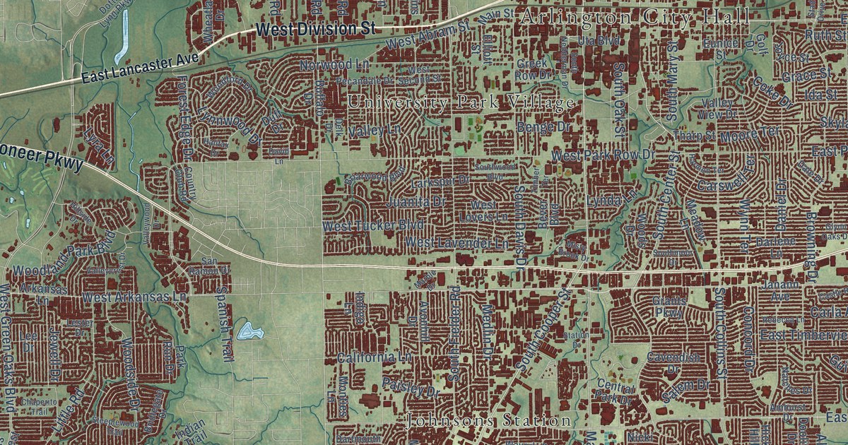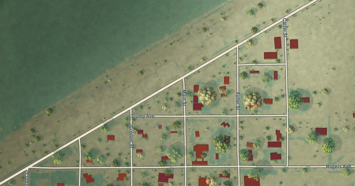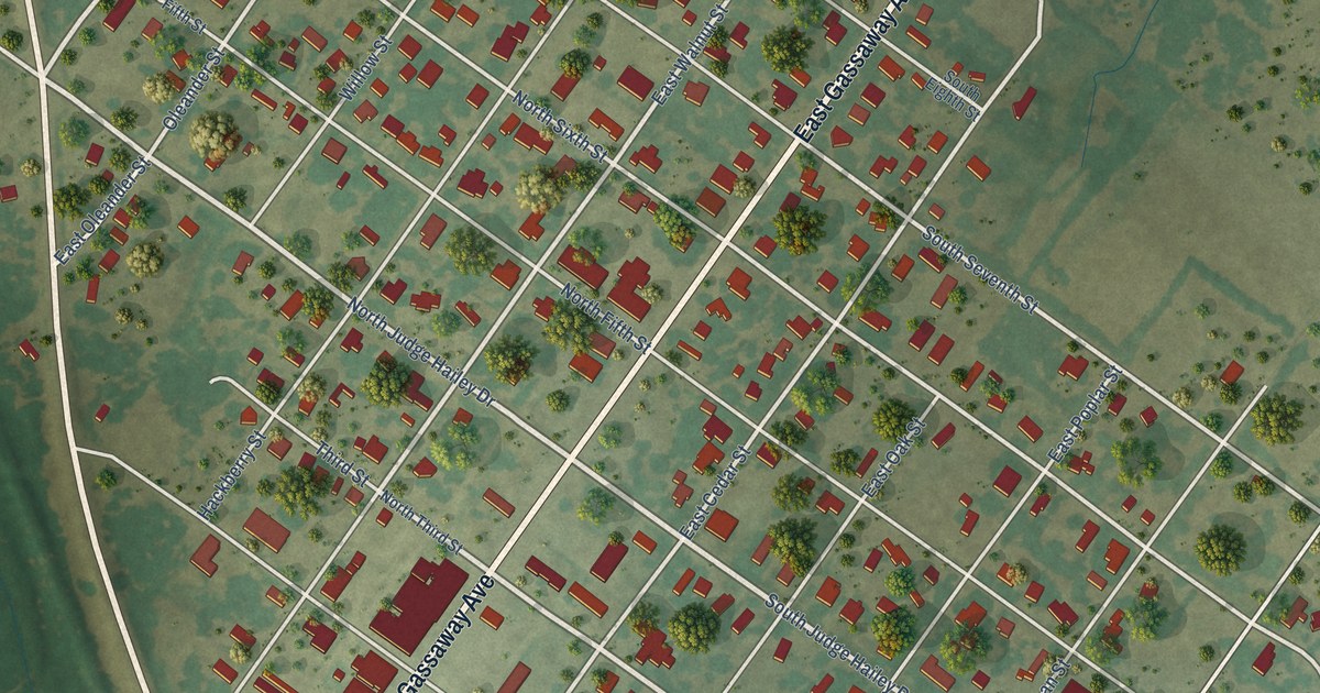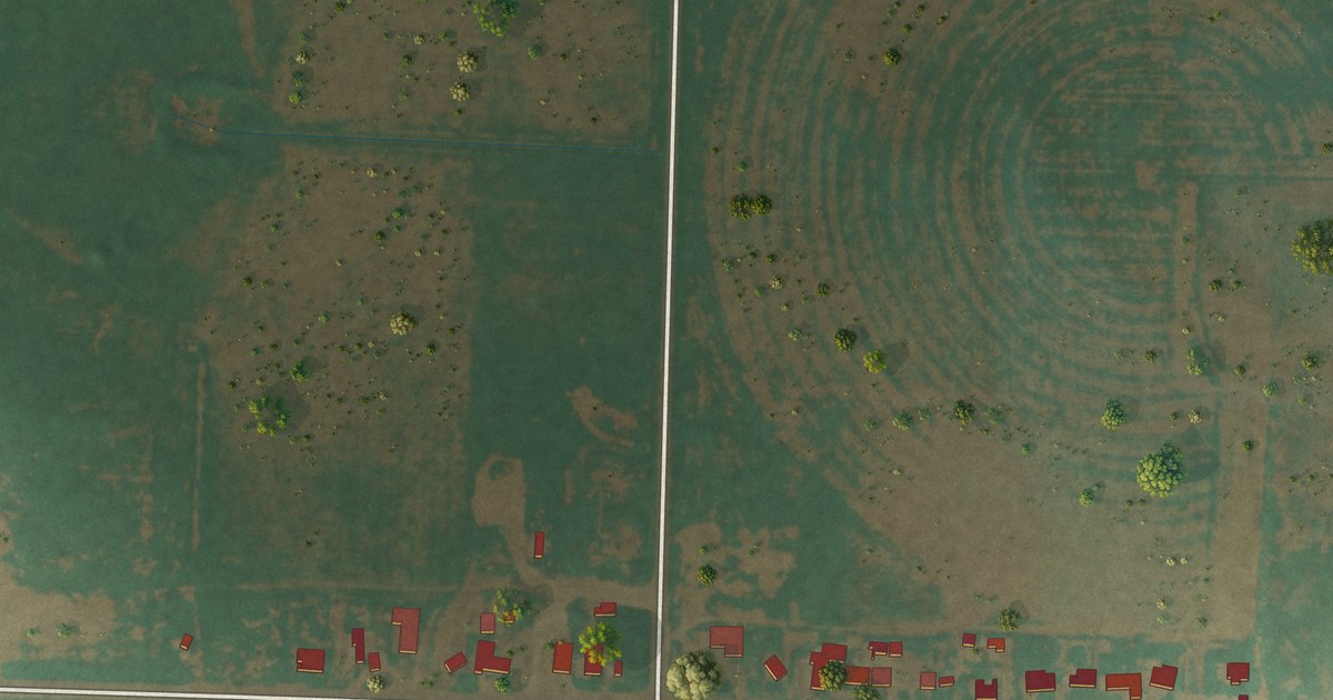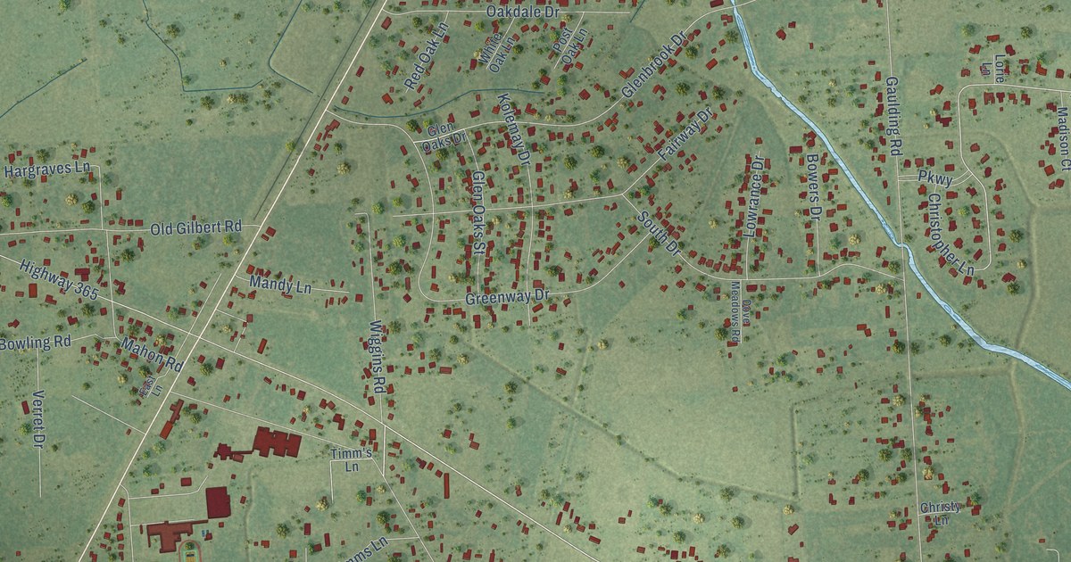
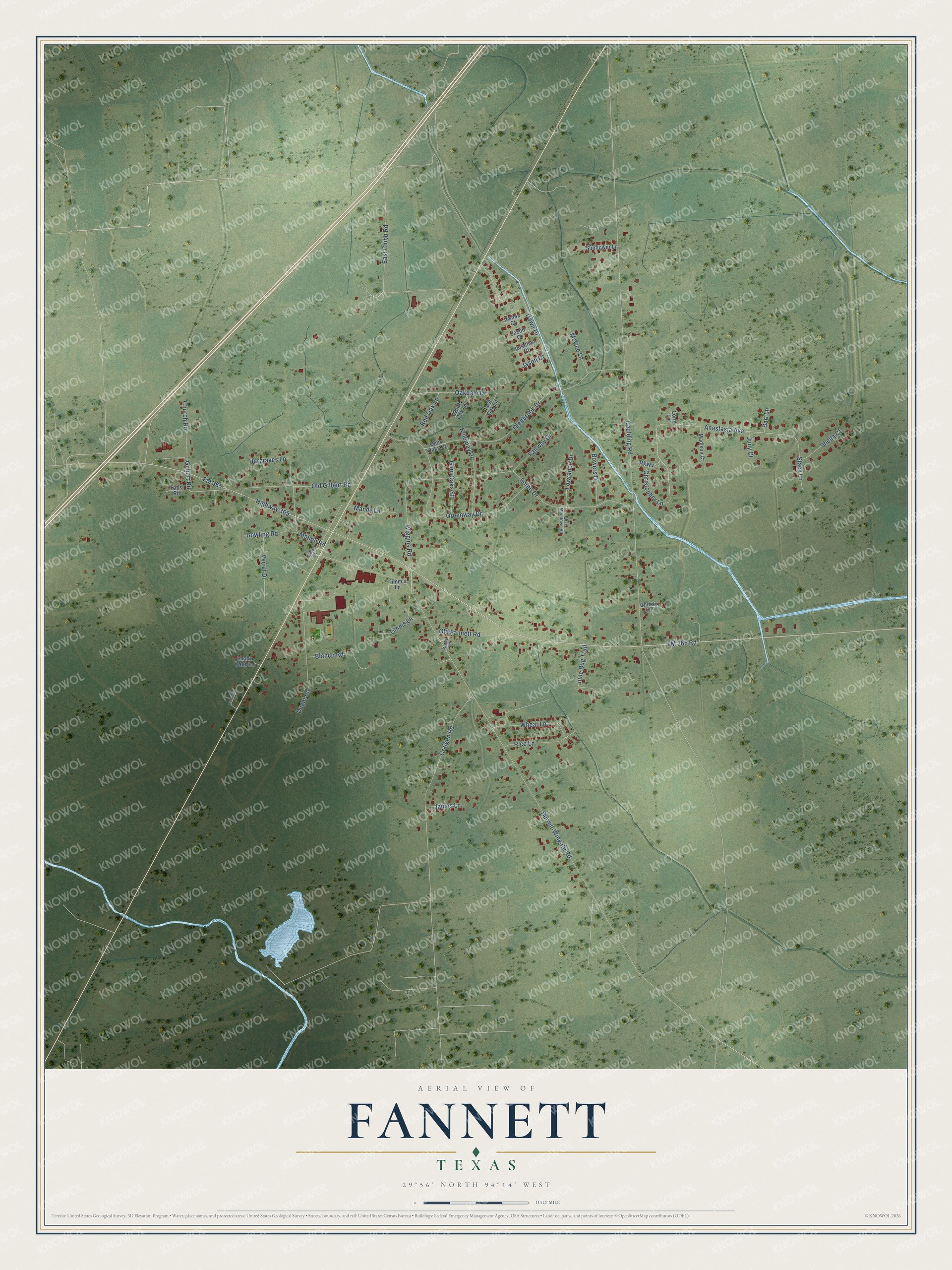
This beautifully detailed map of Fannett, Texas was created in 2026 using aerial imagery combined with modern topographical, census, street and landmark data. It's a modern aerial view of Fannett in Jefferson County, Texas, that combines modern data with a vintage aesthetic. The roads feature printed names, and if you look closely you can find your exact house accurately shown in its correct location.
Explore an aerial view of Fannett, Texas
On this map you'll find East Clubb Road, FM 365 Road, Wiggins Road, Anastasia Avenue, Highway 365, Burrell-Wingate Road, Gaulding Road, FM 365, Glenbrook Drive, Craigen Road, Greenway Drive, Fairway Drive, and more. Each red shape is a building, so zoom in on the preview and look for yours.
Fannett has a story worth telling. Fannett was named for B. J. Fannett, an early landowner. The community took shape in the mid-1890s, when Fannett and Joe Dugal opened a general store on the Gulf and Interstate Railway, and the two men secured a post office in 1899. Irrigation and drainage networks were built across the area, and Fannett became a center for rice farmers and ranchers. That's from the Handbook of Texas.
Fannett is a community in Jefferson County. The Census Bureau counted 2,363 people here in 2020.
Take a closer look at the Fannett map
Names on this map
These names are printed on this map.
Streets and roads: East Clubb Road, FM 365 Road, Wiggins Road, Anastasia Avenue, Highway 365, Burrell-Wingate Road, Gaulding Road, FM 365, Glenbrook Drive, Craigen Road, Greenway Drive, Fairway Drive.
More street names, A to Z
Bart Lane, Blanco Road, Bowers Drive, Bowling Road, Christopher Lane, Christy Lane, Church Road, Dawn Drive, Dove Meadows Road, Dugat Road, East Lane, Falls Road, Gilbert Road, Glen Oaks Drive, Glen Oaks Street, Hargraves Lane, Jacob Court, James Lane, Jason Court, Jonathan Court, Joshua Court, Judy Court, June Bug Trail, Katey Lane, Kolemay Drive, Lorie Lane, Lowrance Drive, Madison Court, Mahon Road, Mandy Lane, McGee Lane, Oakdale Drive, Old Fannett Road, Old Gilbert Road, Parkway, Post Oak Lane, Red Oak Lane, Rice Lane, Shady Oaks Lane, Sheila Court, South Drive, Stacy Lane, Sunflower Lane, Sunshine Drive, Timm's Lane, Timms Lane, Verret Drive, Wheat Lane, White Oak Lane.
See it on a wall
The Fannett map as a framed print. Swipe for more.


Created by KNOWOL in 2026. The buildings are small red shapes, the roads carry their printed names, and shaded relief shows the shape of the land. The title panel reads "AERIAL VIEW OF FANNETT, TEXAS" with 29°56' NORTH 94°14' WEST.
It looks right in a kitchen, an office or a den, and it's a gift for anyone who grew up in Fannett or moved away. Open the preview and find your street. See sizes and frames for the Fannett map.