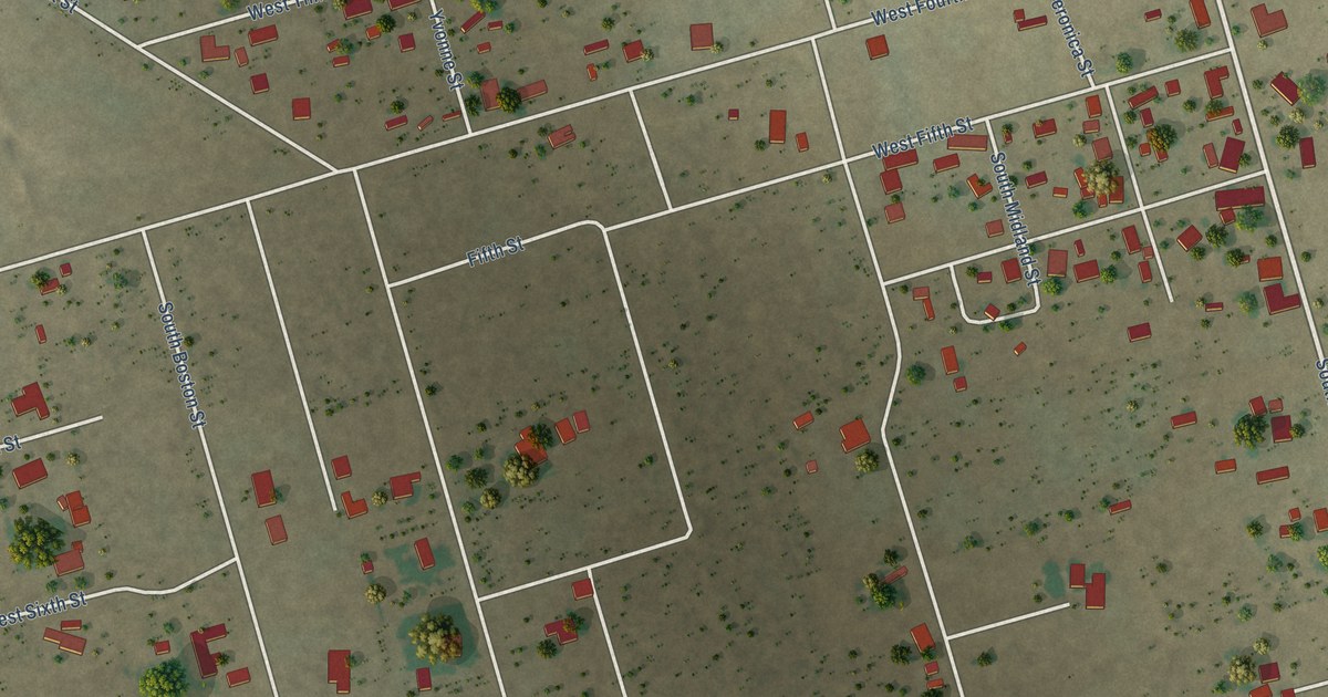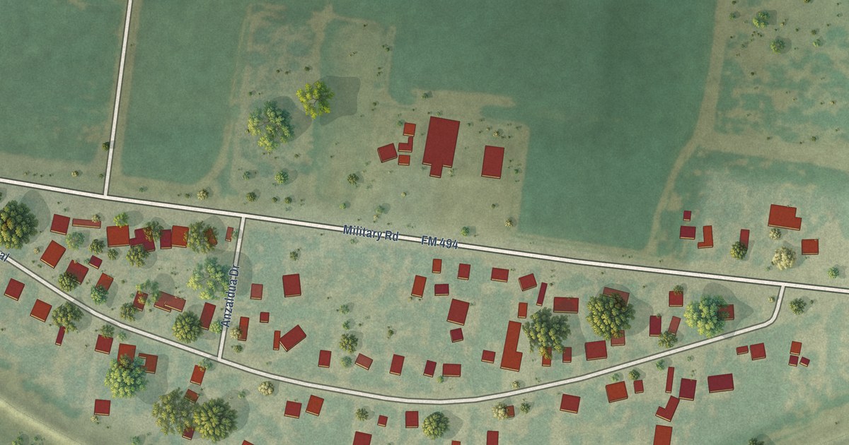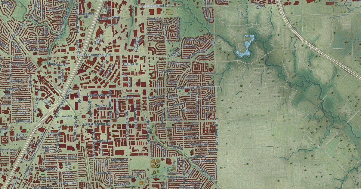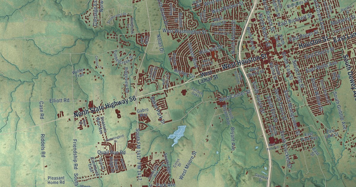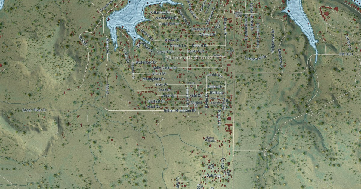
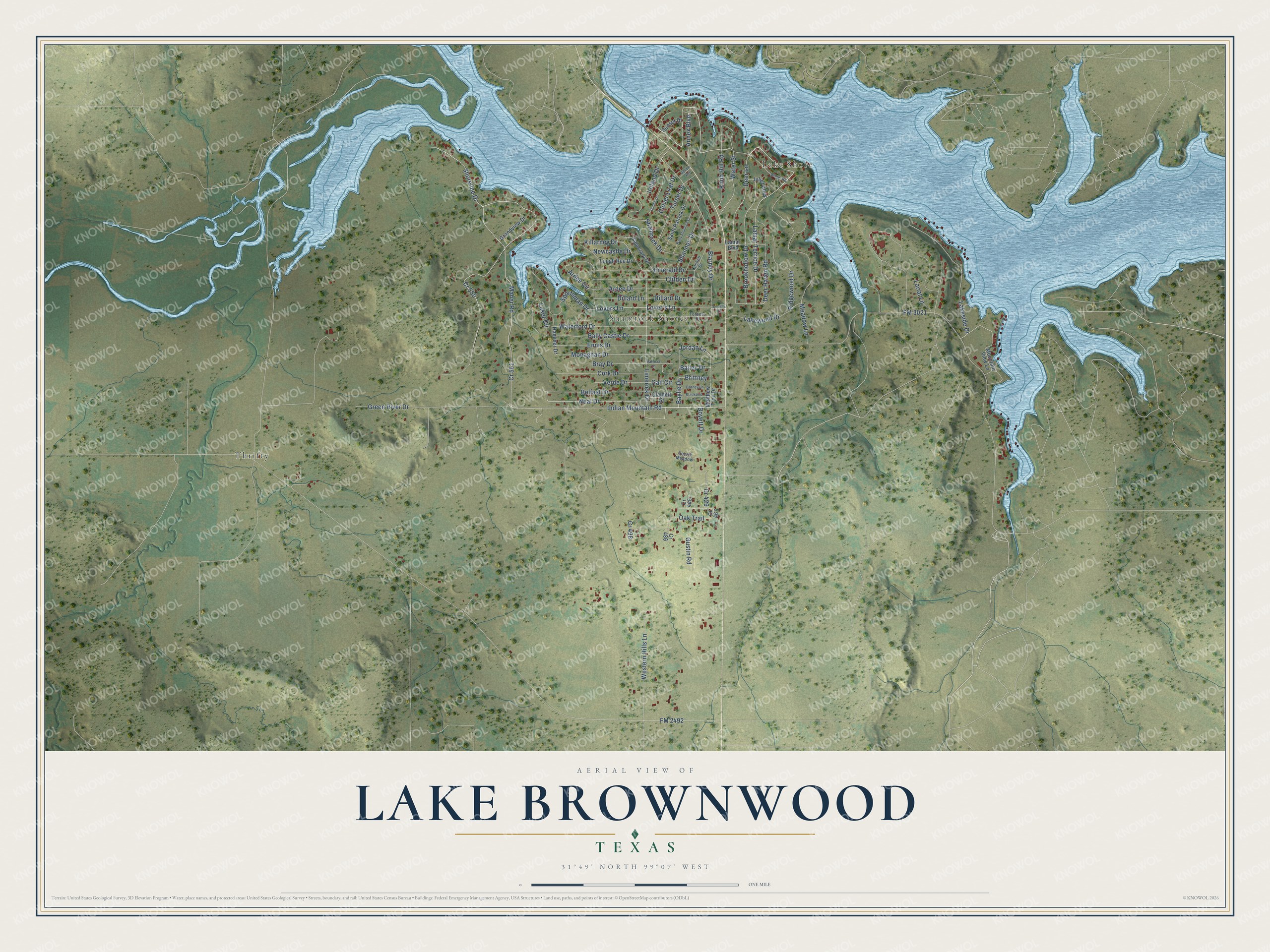
This beautifully detailed map of Lake Brownwood, Texas was created in 2026 using aerial imagery combined with modern topographical, census, street and landmark data. It's a modern aerial view of Lake Brownwood in Brown County, Texas, that combines modern data with a vintage aesthetic. The roads feature printed names, and if you look closely you can find your exact house accurately shown in its correct location.
Explore an aerial view of Lake Brownwood, Texas
On this map you'll find Lake Shore, Shamrock Shores, Thrifty, Lovers Lane, Lover's Lane, Baylie Drive, Jordan Lane, Blarney Drive, Indian Mountain Road, Neal Drive, Shoreline Drive, Lamar Terrice Drive, and more. Each red shape is a building, so zoom in on the preview and look for yours.
Here is a piece of Lake Brownwood history. Lake Brownwood was built on Pecan Bayou where Jim Ned Creek joins it. A survey said the new lake would need two years of normal rain to fill, but on July 3, 1932, torrential rains sent flood water pouring in, covering more than 7,000 acres in six hours. Work on the earthen dam had begun only the year before, in 1931. That's from the Handbook of Texas.
Lake Brownwood is a community in Brown County. The Census Bureau counted 1,462 people here in 2020.
Take a closer look at the Lake Brownwood map
Names on this map
These names are printed on this map.
Places: Lake Shore, Shamrock Shores and Thrifty.
Streets and roads: Lovers Lane, Lover's Lane, Baylie Drive, Jordan Lane, Cr 551, Blarney Drive, Indian Mountain Road, Neal Drive, Shoreline Drive, Lamar Terrice Drive, Cr 550, Green River Drive.
More street names, A to Z
Annex Boulevard, Ardee Circle, Ardee Drive, Bailey Drive, Bally Castle Drive, Bally Shannon Drive, Belfast Drive, Blackbird Lane, Boyett Drive, Bray Drive, Britney Lane, Brittney, Brookhollow Drive, Cashell Drive, Clajdett Street, Clifden Drive, Clover Leaf Drive, Cork Drive, Cr 429, Cr 445, Cr 467, Cr 486, Cr 498, Deer Haven Road, Deer Lane, Dillard Drive, Dillard Lane, Dublin Drive, Emerald Drive, Ennis Drive, FM 2492, FM 3021, Forbess Drive, Gail Circle, Goldie Avenue, Grandview Drive, Gustin Road, Hammer Drive, Ireland Drive, Juliet Alley, Killarney Drive, Knob Hill Road, Lakeside Drive, Lakewood Drive, Lamar Boulevard, Lariat Lane, Limerick Drive, Lough Ree Drive, Lover's Drive, Luker Circle, Maner Road, Matthew Trey Drive, Meadow Lane, Monaghan Drive, Mountain View Lane, Newcastle Drive, Oak Trail, Patricia Lane, Ridgewood Drive, Saint Patrick Drive, Secret Meadow, Shamrock Drive, Shannon Drive, Sportsman Drive, Sunset Drive, Tipperary Drive, Turner Drive, Verde Drive, Waller Road, Waterford Drive, Water Street, Western Hills Lane.
See it on a wall
The Lake Brownwood map as a framed print. Swipe for more.


Created by KNOWOL in 2026. The buildings are small red shapes, the roads carry their printed names, and shaded relief shows the shape of the land. The title panel reads "AERIAL VIEW OF LAKE BROWNWOOD, TEXAS" with 31°49' NORTH 99°07' WEST.
It suits a den, a classroom or a front hall, and it makes a gift for anyone with Lake Brownwood roots. Open the preview and find the block you know. See sizes and frames for the Lake Brownwood map.